
Museums · East of England
Horsey, Norfolk
In or near Sea Palling.
Horsey is a village and civil parish in the English county of Norfolk, within The Broads National Park. Horsey is located 9.9 miles (15.9 km) north of Great Yarmouth and 17 miles (27 km) north-east of

Barbara Carr — CC BY-SA 2.0 via Wikimedia Commons licence

Plan your visit
- Typical visit
- 1.5 h–3 h
- Best time of year
- Year-round
- Family-friendly
- Limited wheelchair access
About
Horsey is a village and civil parish in the English county of Norfolk, within The Broads National Park. Horsey is located 9.9 miles (15.9 km) north of Great Yarmouth and 17 miles (27 km) north-east of Norwich.
Photo gallery
Protected designations
- Site of Special Scientific Interest: Upper Thurne Broads and Marshes SSSI
- Area of Outstanding Natural Beauty: Norfolk Coast
- Ramsar wetland: Broadland
Designations sourced from Natural England open data under OGL v3.
From the Wikipedia article
Horsey is a village and civil parish in the English county of Norfolk, within The Broads National Park. Horsey is located 9.9 miles (15.9 km) north of Great Yarmouth and 17 miles (27 km) north-east of Norwich.
Excerpt from Wikipedia under CC BY-SA 4.0. See the source article linked in Sources below.
Background
History
Horsey's name is of Anglo-Saxon origin and derives from the Old English for horse island. In the Domesday Book, Horsey is listed as a settlement of 30 households in the hundred of Happing. In 1086, the village was divided between the East Anglian estates of Roger Bigod, William, Bishop of Thetford, Rolf and Almer, son of Godwin. Horsey Hall was built in the village in 1845. Horsey Windpump was a drainage pump built in 1912 by Dan England which was struck by lightning in 1943 which stopped it from working. 75 years later, the building was restored and reopened by the National Trust. The original pumping duties of the windpump are now the responsibility of the electric pumphouse built nearby.…
Sourced from Wikipedia under CC BY-SA 4.0.
- Coordinates
- 52.7490, 1.6390
- County
- Norfolk
- District
- North Norfolk
- Parish
- Horsey
- Postcode
- NR29 4EF
- Parliamentary constituency
- North Norfolk
Sources
- wikipedia: Horsey, Norfolk (CC BY-SA 4.0)
Other places nearby

Horsey Mere viewing area
Natural landmarks · 0.8 km

Horsey Mere
Viewpoints · 0.8 km

Horsey Windpump
Natural landmarks · 0.9 km

Brograve Mill
Gardens · 1.0 km
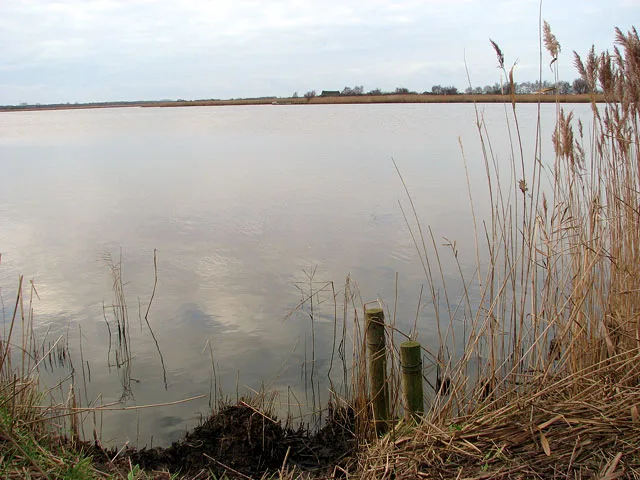
Horsey Mere
Natural landmarks · 1.1 km
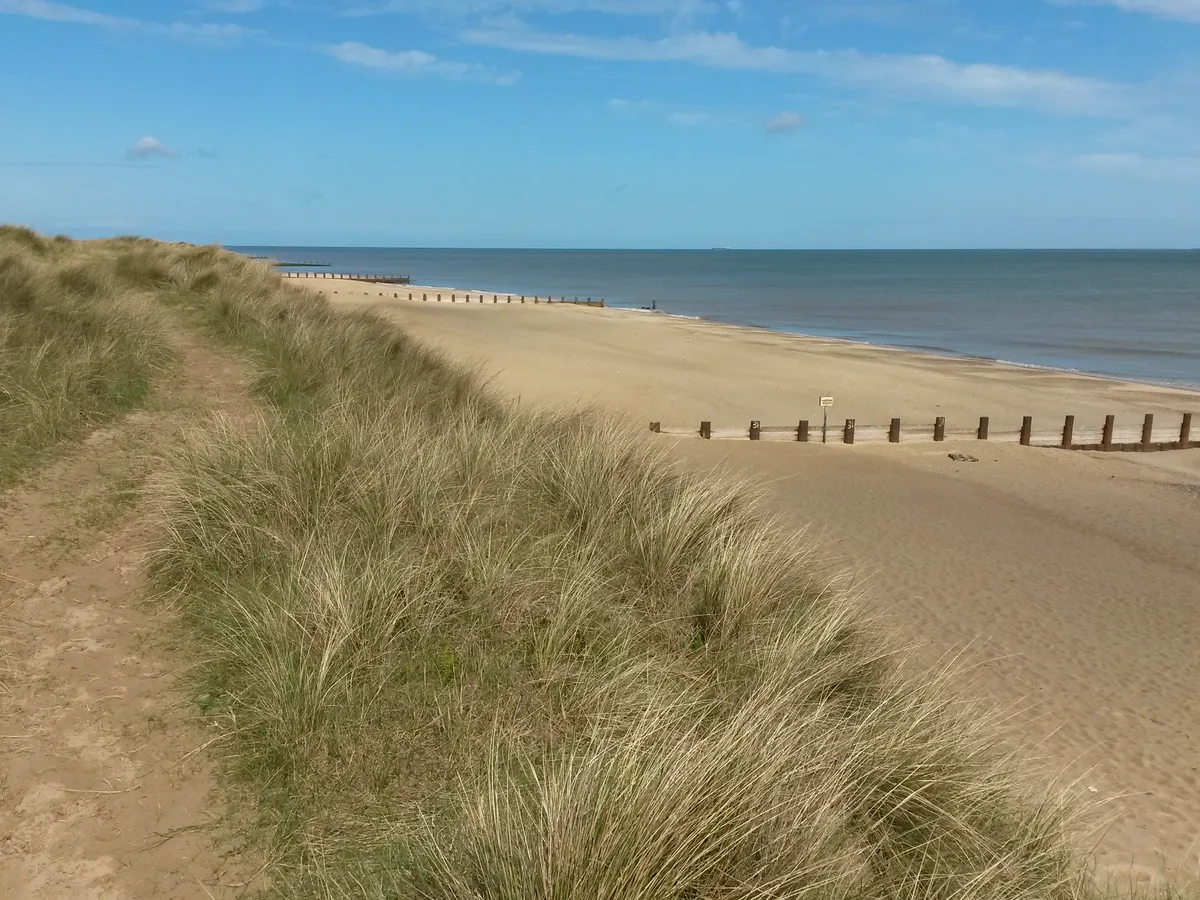
Horsey Beach
Beaches · 1.2 km

Waxham Sands Holiday Park
Campsites · 1.5 km

Walnut Farm
Campsites · 1.7 km

Horsey - Seal viewing
Natural landmarks · 1.7 km

Stubb Mill Raptor Watchpoint
Viewpoints · 2.2 km

Stubb Mill
Windmills · 2.2 km

Horsey
Villages · 2.6 km
Nearby
📷 3Natural landmarks · East of England
Horsey Mere viewing area
Horsey Mere viewing area — a other in england-east-midlands, United Kingdom.
📷 4Viewpoints · East of England
Horsey Mere
Horsey Mere is a viewpoint in the United Kingdom.
📷 3Natural landmarks · East of England
Horsey Windpump
Horsey Windpump — a other in england-east-midlands, United Kingdom.
📷 5Gardens · East of England
Brograve Mill
Brograve Mill — a garden in england-east-midlands, United Kingdom.
📷 4📷 3Beaches · East of England
Horsey Beach
Horsey Beach — Coastal area in Great Britain.
Where to eat & stay near Horsey, Norfolk
Places to stay
📷 5Campsites · East of England
Waxham Sands Holiday Park
Waxham Sands Holiday Park — a campsite in england east midlands.
📷 5Campsites · East of England
Walnut Farm
Walnut Farm — a campsite in england east midlands.
 📷 5
📷 5 📷 5
📷 5Caravan parks · East of England
Dune Lodge Caravan Park
Dune Lodge Caravan Park — a caravan park in england east midlands.
 📷 5
📷 5Caravan parks · East of England
Golden Sands Holiday Centre
Golden Sands Holiday Centre — a caravan park in england east midlands.
 📷 5
📷 5Caravan parks · East of England
Sandy Hills Holiday Park
Sandy Hills Holiday Park — a caravan park in england east midlands.
Places to eat & drink
 📷 5
📷 5 📷 5
📷 5 📷 5
📷 5Historic pubs · East of England
Two Necked Swan Public House
Two Necked Swan Public House in England East, United Kingdom.
 📷 5
📷 5Historic pubs · East of England
St Johns Head Public House
St Johns Head Public House in England East, United Kingdom.
 📷 5
📷 5Historic pubs · East of England
Dukes Head Public House
Dukes Head Public House in England East, United Kingdom.
 📷 5
📷 5Historic pubs · East of England
Peggottys Public House
Peggottys Public House in England East, United Kingdom.
More museums in this region
 📷 5
📷 5Museums · East of England
American Air Museum
American Air Museum — museum at Imperial War Museum Duxford, Cambridgeshire, England, UK.
 📷 5
📷 5Museums · East of England
Ashwell Village Museum
Ashwell Village Museum — historic building museum in Ashwell, Hertfordshire, England, United Kingdom.
 📷 5
📷 5Museums · East of England
Barleylands Farm Museum
Barleylands Farm Museum — Farm museum in Billericay, England.
 📷 5
📷 5Museums · East of England
Cromwell Museum
Cromwell Museum — museum in Huntingdon, England, United Kingdom.
Frequently asked questions
- Where is Horsey, Norfolk?
- Horsey, Norfolk is in Norfolk, East of England, United Kingdom (postcode NR29 4EF), in the parish of Horsey.
- What is Horsey, Norfolk?
- Horsey is a village and civil parish in the English county of Norfolk, within The Broads National Park. Horsey is located 9.9 miles (15.9 km) north of Great Yarmouth and 17 miles (27 km) north-east of
- How do I get to Horsey, Norfolk?
- The nearest town is Sea Palling. Drivers can use postcode NR29 4EF.
- Is Horsey, Norfolk a protected site?
- Yes — Horsey, Norfolk is part of the Upper Thurne Broads and Marshes SSSI Site of Special Scientific Interest and the Norfolk Coast National Landscape (AONB).
- How do I get to Horsey, Norfolk?
- Drivers can navigate to postcode NR29 4EF. It sits within the North Norfolk parliamentary constituency.