Mountains & hills · East Midlands
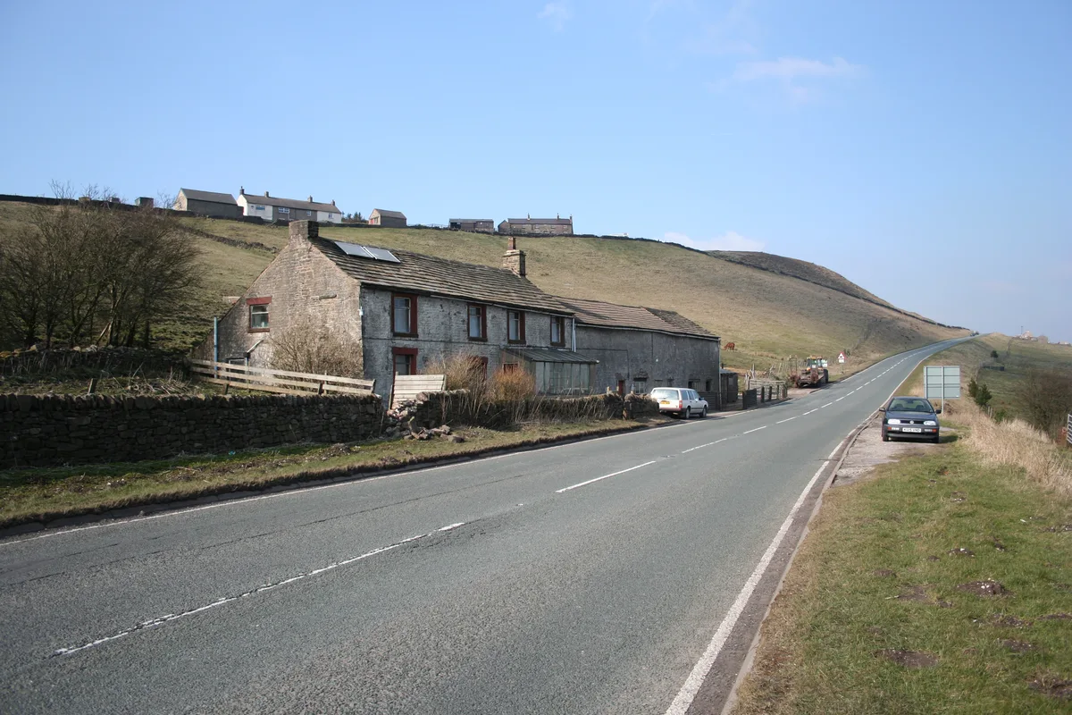
High Peak Estate
In or near Edale.
The High Peak Estate is an area of Pennine moorland in the ownership of the National Trust in the Dark Peak area of Derbyshire, England. The National Trust High Peak Estate is to be known as the 'Dark

Mrs D M Morgan — CC BY-SA 2.0 via Wikimedia Commons licence
Plan your visit
- Typical visit
- 3 h–8 h
- Best time of year
- Late spring – early autumn (May–Oct)
- Nearest railway station
- Edale · 0.2 km
- Free entry
- Dog-friendly
- Wheelchair accessible
Getting there & planning your visit
To visit High Peak Estate, the nearest railway station is Edale, located just 0.2 km away. Entry is free, and the site is wheelchair accessible. The postcode for sat-nav is S33 7ZN.
About
The High Peak Estate is an area of Pennine moorland in the ownership of the National Trust in the Dark Peak area of Derbyshire, England. The National Trust High Peak Estate is to be known as the 'Dark Peak Area' from summer 2010 which is now part of the Peak District Estate. The Peak District Estate also includes the White Peak Estate (formerly South Peak Estate) and the Longshaw Estate near Sheffield and includes a number of sites of interest including: Alport Castles (a spectacular natural landslip) Bleaklow (a massive expanse of wild, windswept moorland) Derwent Edge Kinder Scout (the moorland plateau that was the site of 1932's Mass Trespass and the highest point in the Peak District) Mam Tor Odin Mine (one of the oldest lead mines in the county) Snake Pass (to the north-east of the estate) Winnats Pass (west of Castleton)
Photo gallery
Protected designations
- Site of Special Scientific Interest: Dark Peak SSSI
Designations sourced from Natural England open data under OGL v3.
From the Wikipedia article
The High Peak Estate is an area of Pennine moorland in the ownership of the National Trust in the Dark Peak area of Derbyshire, England. The National Trust High Peak Estate is to be known as the 'Dark Peak Area' from summer 2010 which is now part of the Peak District Estate. The Peak District Estate also includes the White Peak Estate (formerly South Peak Estate) and the Longshaw Estate near Sheffield and includes a number of sites of interest including: Alport Castles (a spectacular natural landslip) Bleaklow (a massive expanse of wild, windswept moorland) Derwent Edge Kinder Scout (the moorland plateau that was the site of 1932's Mass Trespass and the highest point in the Peak District) Mam Tor Odin Mine (one of the oldest lead mines in the county) Snake Pass (to the north-east of the estate) Winnats Pass (west of Castleton)
Excerpt from Wikipedia under CC BY-SA 4.0. See the source article linked in Sources below.
- Coordinates
- 53.3660, -1.8160
- County
- Derbyshire
- District
- High Peak
- Parish
- Edale
- Postcode
- S33 7ZN
- Parliamentary constituency
- High Peak
- Nearest railway station
- Edale — 0.2 km
Sources
- wikipedia: High Peak Estate (CC BY-SA 4.0)
Other places nearby

Edale
Towns & cities · 0.0 km

Fieldhead Campsite
Campsites · 0.2 km

Edale War Memorial
Memorials & monuments · 0.3 km

Newfold Farm Campsite
Campsites · 0.4 km

Pennine Way
Military museums · 0.5 km
The Old Nags Head
Historic pubs · 0.5 km

Waterside Farm Camp Site
Campsites · 0.7 km

The Mill and attached chimney
Watermills · 1.1 km

Edale Camping Barn
Hostels · 1.2 km

Whitmore Lea Campsite
Campsites · 1.4 km

Broadlee Bank Tor
Mountains & hills · 1.4 km

Tom Hyett
Memorials & monuments · 1.6 km
Nearby
📷 5Towns & cities · East Midlands
Edale
Edale — village and civil parish in High Peak, Derbyshire, England.
📷 5Campsites · East Midlands
Fieldhead Campsite
Fieldhead Campsite — a campsite in england east midlands.
📷 4Memorials & monuments · East Midlands
Edale War Memorial
Edale War Memorial — Grade II listed building-listed memorial in england-east-midlands, United Kingdom.
📷 5Campsites · East Midlands
Newfold Farm Campsite
Newfold Farm Campsite — a campsite in england east midlands.
📷 5Military museums · East Midlands
Pennine Way
Pennine Way — a military museum in england east midlands.
📷 5Historic pubs · East Midlands
The Old Nags Head
The Old Nags Head in England Yorkshire, United Kingdom.
Where to eat & stay near High Peak Estate
Places to stay
📷 5Campsites · East Midlands
Fieldhead Campsite
Fieldhead Campsite — a campsite in england east midlands.
📷 5Campsites · East Midlands
Newfold Farm Campsite
Newfold Farm Campsite — a campsite in england east midlands.
📷 5Campsites · East Midlands
Waterside Farm Camp Site
Waterside Farm Camp Site — a campsite in england east midlands.
📷 5📷 5Campsites · East Midlands
Whitmore Lea Campsite
Whitmore Lea Campsite — a campsite in england east midlands.
 📷 5
📷 5Campsites · East Midlands
Whitmore Lea Campsite
Whitmore Lea Campsite — a campsite in england east midlands.
Places to eat & drink
📷 5Historic pubs · East Midlands
The Old Nags Head
The Old Nags Head in England Yorkshire, United Kingdom.
 📷 5
📷 5 📷 7
📷 7Historic pubs · East Midlands
The Three Stags' Heads
The Three Stags' Heads in England South East, United Kingdom.
 📷 5
📷 5Historic pubs · East Midlands
The Hare And Hounds Hotel
The Hare And Hounds Hotel in England Yorkshire, United Kingdom.
 📷 5
📷 5Historic pubs · East Midlands
The Crown Inn, Glossop
The Crown Inn, Glossop in England Yorkshire, United Kingdom.
 📷 5
📷 5Historic pubs · East Midlands
Norfolk Arms Public House
Norfolk Arms Public House in England Yorkshire, United Kingdom.
More mountains in this region
 📷 5
📷 5Mountains & hills · East Midlands
Errwood Hall
The ruin of Errwood Hall is a popular tourist destination in the scenic Upper Goyt Valley within the Peak District of England.
 📷 3
📷 3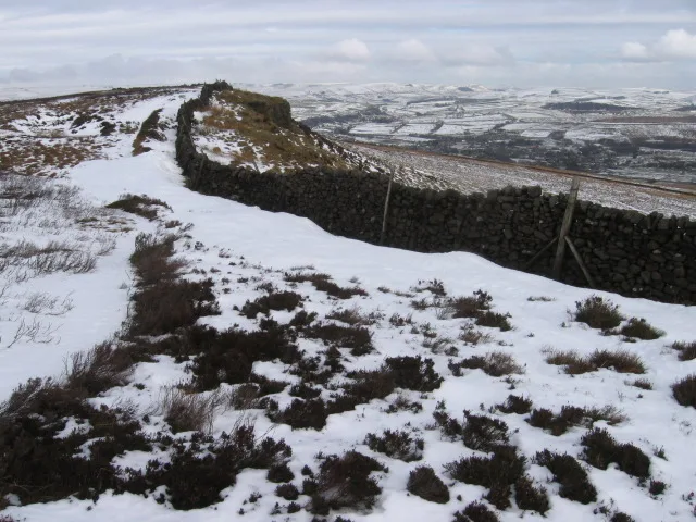 📷 3
📷 3Mountains & hills · East Midlands
Black Edge - Summit
Black Edge - Summit — Named summit at 506.7 m.
Frequently asked questions
- Where is High Peak Estate?
- High Peak Estate is in Derbyshire, Yorkshire, United Kingdom (postcode S33 7ZN), in the parish of Edale.
- What is High Peak Estate?
- The High Peak Estate is an area of Pennine moorland in the ownership of the National Trust in the Dark Peak area of Derbyshire, England. The National Trust High Peak Estate is to be known as the 'Dark
- How do I get to High Peak Estate?
- The nearest railway station is Edale, about 0.2 km away. Drivers can use postcode S33 7ZN.
- Is High Peak Estate a protected site?
- Yes — High Peak Estate is part of the Dark Peak SSSI Site of Special Scientific Interest.
- Is High Peak Estate free to visit?
- Yes, High Peak Estate is free to enter.
- How do I get to High Peak Estate?
- The nearest railway station is Edale, about 0.2 km away. Drivers can navigate to postcode S33 7ZN.