
Distilleries · East Midlands
Cat & Fiddle
In or near Quarnford.
Cat & Fiddle — Whisky/spirit distillery.

Wikimedia Commons contributors — see linked file page for photographer and licence licence

Plan your visit
- Typical visit
- 1.5 h–2.5 h
- Best time of year
- Year-round (indoors)
- Nearest railway station
- Buxton Miniature Railway · 5.6 km
- Limited wheelchair access
Getting there & planning your visit
To visit the Cat & Fiddle distillery in Cheshire East, the nearest railway station is Buxton Miniature Railway, located 5.6 km away. The postcode for sat-nav is SK11 0BE. Entry has limited wheelchair accessibility.
About
Cat & Fiddle is a working distillery in the United Kingdom. Wikidata describes it as: "Whisky/spirit distillery.". Coordinates: 53.2441°, -1.9997°.
Photo gallery
Protected designations
- Site of Special Scientific Interest: Goyt Valley SSSI
- Site of Special Scientific Interest: Leek Moors SSSI
Designations sourced from Natural England open data under OGL v3.
From the Wikipedia article
The Cat and Fiddle Inn is a former public house in the English Peak District, close to the border between Cheshire and Derbyshire. It sits on the A537 road from Macclesfield to Buxton, which runs across a high and remote area of moorland. A section of the road is known as the "Cat and Fiddle Road" after the inn. The building is some 1,689 feet (515 m) above sea level, and it was the second-highest public house in Britain before it closed in 2015 (the Tan Hill Inn in Yorkshire is slightly higher). In 2020, it reopened as a distillery, shop and bar.
Excerpt from Wikipedia under CC BY-SA 4.0. See the source article linked in Sources below.
Background
History
The Cat and Fiddle first opened in 1813. It remained empty until 2019, when the Forest Distillery took out a long-term lease on the property. A crowdfunding appeal raised over £50,000 towards the restoration of the building, <gallery mode="packed" heights="200"> File:Cat and Fiddle Inn - geograph.org.uk - 5867326.jpg|Western view of the Cat and Fiddle (2018) File:CatAndFiddleDetail (cropped).jpg File:Cat & Fiddle - geograph.org.uk - 2719367.jpg|Eastern view (2011) </gallery>
Sourced from Wikipedia under CC BY-SA 4.0.
- Coordinates
- 53.2441, -1.9997
- District
- Cheshire East
- Parish
- Macclesfield Forest and Wildboarclough
- Postcode
- SK11 0BE
- Parliamentary constituency
- Macclesfield
- Nearest railway station
- Buxton Miniature Railway — 5.6 km
- Official site
- catfiddleweasel.com
Sources
- osm: w118035647 (ODbL)
- wikipedia: Cat and Fiddle Inn (CC BY-SA 4.0)
- commons: CatAndFiddlePH.jpg (CC BY-SA 4.0)
Other places nearby

Cat and Fiddle Inn
Historic pubs · 0.0 km

Whetstone Ridge
Mountains & hills · 1.0 km
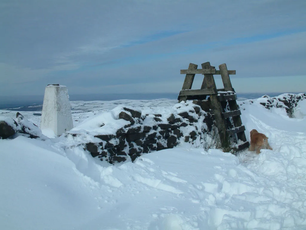
Shining Tor
Mountains & hills · 1.9 km

Forest Distillery
Distilleries · 2.1 km
_-_geograph.org.uk_-_1518946.jpg?width=1200)
Danebower Colliery ventilation chimney
Memorials & monuments · 2.2 km

Macclesfield Forest and Wildboarclough
Parks · 2.5 km

Forest Chapel
Historic churches · 2.7 km

Errwood Hall
Mountains & hills · 2.9 km

Errwood Hall
Archaeological sites · 2.9 km
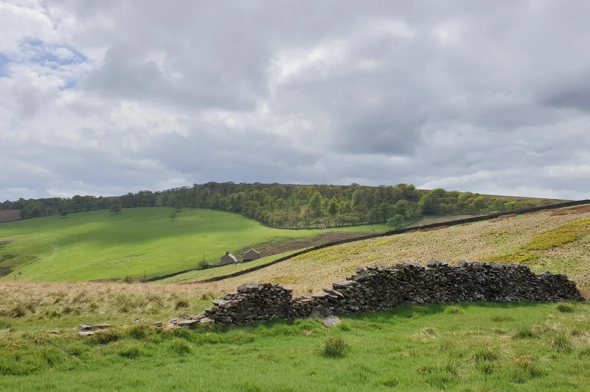
Burbage Edge
Mountains & hills · 3.1 km
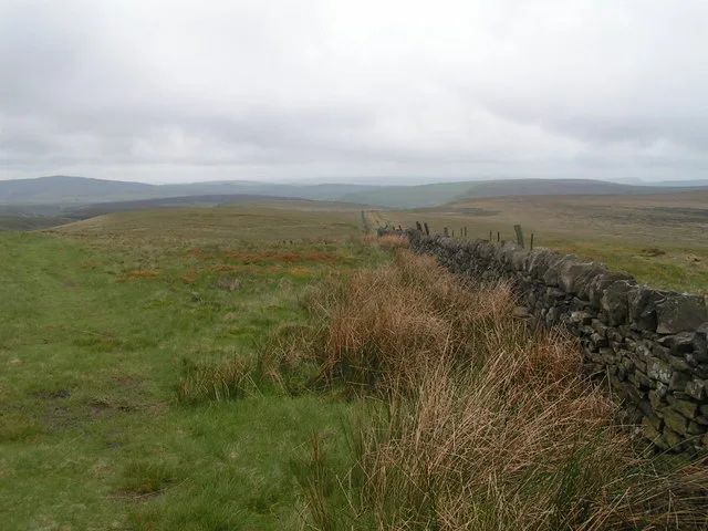
Cheeks Hill
Mountains & hills · 3.2 km
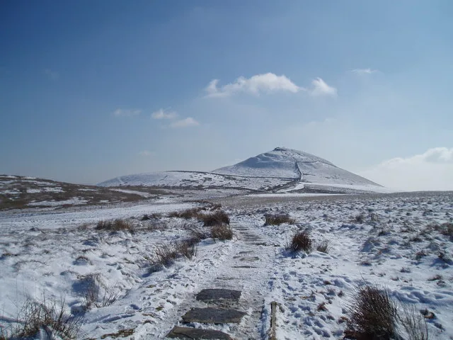
Shutlingsloe
Natural landmarks · 3.4 km
Nearby
📷 5Historic pubs · East Midlands
Cat and Fiddle Inn
Cat and Fiddle Inn in England South East, United Kingdom.
📷 5Mountains & hills · East Midlands
Whetstone Ridge
Whetstone Ridge — mountain in england east midlands. Elevation: 547 m.
📷 3📷 3Distilleries · West Midlands
Forest Distillery
Forest Distillery — Whisky/spirit distillery.
📷 3Memorials & monuments · East Midlands
Danebower Colliery ventilation chimney
Danebower Colliery ventilation chimney is a memorial in the United Kingdom.
📷 5Parks · West Midlands
Macclesfield Forest and Wildboarclough
Macclesfield Forest and Wildboarclough is a civil parish in the unitary authority of Cheshire East and the ceremonial county of Cheshire, England. It lies on the western fringe of the Peak District
Where to eat & stay near Cat & Fiddle
Places to stay
 📷 5
📷 5Caravan parks · East Midlands
Buxton Caravan and Motorhome Club
Buxton Caravan and Motorhome Club — a caravan park in england east midlands.
 📷 5
📷 5Campsites · East Midlands
Cold Springs Farm Campsite
Cold Springs Farm Campsite — a campsite in england east midlands.
 📷 5
📷 5Hotels · East Midlands
Old Hall Hotel
Old Hall Hotel — a hotel in england east midlands.
 📷 5
📷 5Campsites · West Midlands
Gradbach Scout Camp
Gradbach Scout Camp — a campsite in england west midlands.
📷 5📷 5Places to eat & drink
📷 5Historic pubs · East Midlands
Cat and Fiddle Inn
Cat and Fiddle Inn in England South East, United Kingdom.
 📷 5
📷 5Restaurants · West Midlands
Sutton Hall
Sutton Hall — a restaurant in england west midlands.
 📷 5
📷 5Historic pubs · North West England
Lord Byron Public House
Lord Byron Public House in England North West, United Kingdom.
 📷 5
📷 5Historic pubs · North West England
The Castle, Macclesfield
The Castle, Macclesfield in England North West, United Kingdom.
 📷 5
📷 5Historic pubs · North West England
2 and 4, Market Place
2 and 4, Market Place in England North West, United Kingdom.
 📷 7
📷 7Historic pubs · North West England
George Hotel Public House
George Hotel Public House in England North West, United Kingdom.
More distilleries in this region
 📷 3
📷 3 📷 3
📷 3Distilleries · East Midlands
Global Distillery Company
Global Distillery Company — Whisky/spirit distillery.
 📷 3
📷 3Distilleries · East Midlands
Louth Distillery
Louth Distillery — Whisky/spirit distillery.
 📷 3
📷 3Distilleries · East Midlands
The Lincoln Distillery Ltd
The Lincoln Distillery Ltd — Whisky/spirit distillery.
Frequently asked questions
- Where is Cat & Fiddle?
- Cat & Fiddle is in the East Midlands, United Kingdom (postcode SK11 0BE), in the parish of Macclesfield Forest and Wildboarclough.
- What is Cat & Fiddle?
- Cat & Fiddle — Whisky/spirit distillery.
- How do I get to Cat & Fiddle?
- The nearest railway station is Buxton Miniature Railway, about 5.6 km away. Drivers can use postcode SK11 0BE.
- Is Cat & Fiddle a protected site?
- Yes — Cat & Fiddle is part of the Goyt Valley SSSI Site of Special Scientific Interest and the Leek Moors SSSI Site of Special Scientific Interest.
- How do I get to Cat & Fiddle?
- The nearest railway station is Buxton Miniature Railway, about 5.6 km away. Drivers can navigate to postcode SK11 0BE.