Mountains & hills · East Midlands
End Low
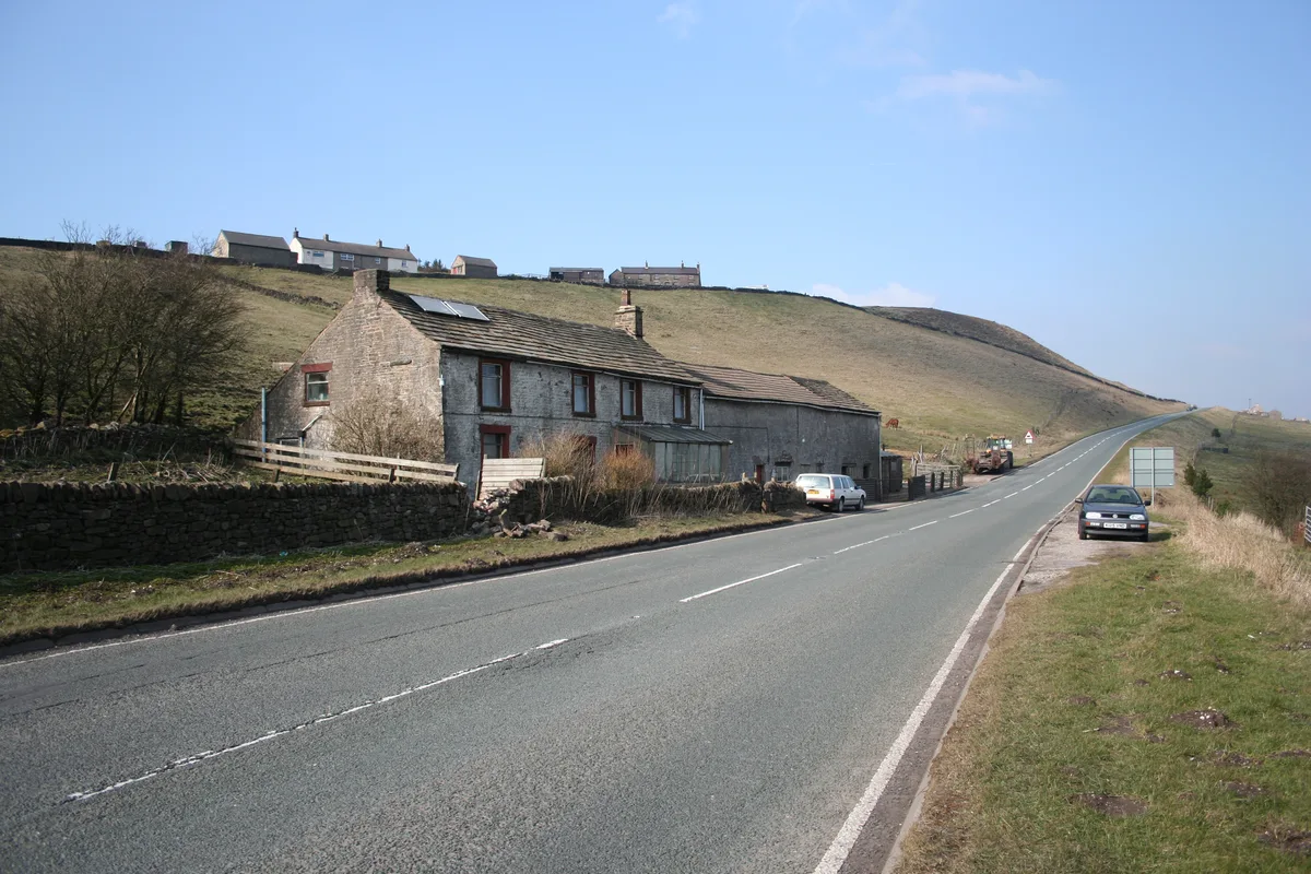
End Low — mountain in england east midlands. Elevation: 391 m.

Neil Theasby — CC BY-SA 2.0 via Wikimedia Commons licence
Plan your visit
- Typical visit
- 3 h–8 h
- Best time of year
- Late spring – early autumn (May–Oct)
About
End Low is a mountain located in england east midlands. Elevation: 391 m. A named British peak recorded in OpenStreetMap. Peaks are typically named on Ordnance Survey 1:50k mapping.
Photo gallery
Place summary
End Low is a mountain located in the East Midlands. It is known for its distinctive elevation within the region, providing a notable landscape feature. The area typically offers various walking trails for visitors, along with opportunities for outdoor activities. The natural surroundings are characteristic of the East Midlands' diverse topography.
AI-generated from the structured facts on this page (operator, designation, listing, era). Not a substitute for visiting.
- Coordinates
- 53.1420, -1.7682
Sources
- osm: n11697850760 (ODbL)
Other places nearby
Loading nearby places…
Nearby
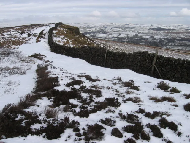
 📷 5
📷 5Campsites · East Midlands
Waterloo Inn Campsite
Waterloo Inn Campsite — a campsite in england east midlands.
 📷 5
📷 5Caravan parks · East Midlands
Brundcliffe Farm
Brundcliffe Farm — a caravan park in england east midlands.
 📷 5
📷 5Caves · East Midlands
Hartington Moor Farm Adit
Hartington Moor Farm Adit — a cave broad in england-east-midlands, United Kingdom.
 📷 3
📷 3Memorials & monuments · East Midlands
Biggin War Memorial
Biggin War Memorial — Grade II listed building-listed memorial in england-east-midlands, United Kingdom.
 📷 5
📷 5Campsites · East Midlands
Newhaven Holiday Park
Newhaven Holiday Park — a campsite in england east midlands.
 📷 5
📷 5Campsites · East Midlands
Drury Lane Caravan and Camping Site
Drury Lane Caravan and Camping Site — a campsite in england east midlands.
Where to eat & stay near End Low
Places to stay
📷 5Campsites · East Midlands
Waterloo Inn Campsite
Waterloo Inn Campsite — a campsite in england east midlands.
📷 5Caravan parks · East Midlands
Brundcliffe Farm
Brundcliffe Farm — a caravan park in england east midlands.
📷 5Campsites · East Midlands
Newhaven Holiday Park
Newhaven Holiday Park — a campsite in england east midlands.
📷 5Campsites · East Midlands
Drury Lane Caravan and Camping Site
Drury Lane Caravan and Camping Site — a campsite in england east midlands.
 📷 5
📷 5Caravan parks · East Midlands
Newhaven Lodge Farm Caravan Site
Newhaven Lodge Farm Caravan Site — a caravan park in england east midlands.
 📷 5
📷 5Hostels · East Midlands
Hartington Hall Youth Hostel
Hartington Hall Youth Hostel — a hostel in england east midlands. Brand: Youth Hostels Association.
Places to eat & drink
 📷 5
📷 5Historic pubs · West Midlands
The Square House
The Square House in England West Midlands, United Kingdom.
 📷 5
📷 5Historic pubs · East Midlands
Duke of York Inn
Duke of York Inn in England East Midlands, United Kingdom.
 📷 5
📷 5Historic pubs · East Midlands
Holly Bush Inn
Holly Bush Inn in England East Midlands, United Kingdom.
 📷 3
📷 3Historic pubs · East Midlands
Bull's Head Inn
Bull's Head Inn — Historic pub — listed building or notable heritage status.
 📷 5
📷 5Historic pubs · East Midlands
The Old Kings
The Old Kings in England East Midlands, United Kingdom.
 📷 5
📷 5Historic pubs · East Midlands
The Peacock
The Peacock in England East Midlands, United Kingdom.
More mountains in this region
 📷 3
📷 3Mountains & hills · East Midlands
Axe Edge Moor
Axe Edge Moor — Named summit at 551 m.
Mountains & hills · East Midlands
Beacon Hill
Beacon Hill — Named summit at 244.5 m.
Mountains & hills · East Midlands
Beacon Hill
Beacon Hill — Named summit at 105 m.
 📷 3
📷 3Mountains & hills · East Midlands
Black Edge - Summit
Black Edge - Summit — Named summit at 506.7 m.
Frequently asked questions
- Where is End Low?
- End Low is in the East Midlands, United Kingdom.
- What is End Low?
- End Low — mountain in england east midlands. Elevation: 391 m.
- How do I get to End Low?
- Its coordinates are 53.1420°, -1.7682°.