Mountains & hills · South West England
Drackenorth
In or near Melplash.
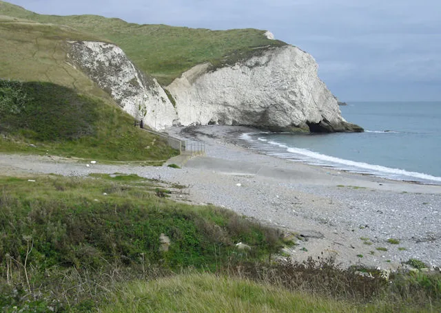
Drackenorth — a mountain in england-south-west, United Kingdom, 221 m.

Lewis Clarke — CC BY-SA 2.0 via Wikimedia Commons licence
Plan your visit
- Typical visit
- 3 h–8 h
- Best time of year
- Late spring – early autumn (May–Oct)
- Nearest railway station
- Maiden Newton · 6.7 km
- Free entry
- Dog-friendly
Getting there & planning your visit
To visit Drackenorth, the nearest railway station is Maiden Newton, located 6.7 km away. The postcode for sat-nav is DT8 3PG, and entry to the site is free.
About
Drackenorth is a named summit in england-south-west, United Kingdom, with an elevation of approximately 221 metres. Listed in the Wikidata register of UK peaks; see the Wikipedia article for further details on the mountain's location, geology and walking routes.
Photo gallery
Protected designations
- National Nature Reserve: KINGCOMBE
- Area of Outstanding Natural Beauty: Dorset
Designations sourced from Natural England open data under OGL v3.
From the Wikipedia article
Drackenorth or Drakenorth is a prominent hill, 221 metres (725 ft) high, 3 km NNE of Powerstock on the Jubilee Trail in the county of Dorset in southern England. Its prominence of 61 metres (200 ft) means it is listed as one of the Tumps. It is located within the Dorset Downs. The summit is the highest point on a southwest-to-northeast running ridge and is relatively open with woods on the steep slopes to the south and east. The Jubilee Trail runs up the northeast spur and passes north of the summit before diving into Woodlands Coppice.
Excerpt from Wikipedia under CC BY-SA 4.0. See the source article linked in Sources below.
- Coordinates
- 50.7846, -2.6645
- District
- Dorset
- Parish
- Hooke
- Postcode
- DT8 3PG
- Parliamentary constituency
- West Dorset
- Nearest railway station
- Maiden Newton — 6.7 km
Sources
- wikidata: Q15215017 (CC0)
- wikipedia: Drackenorth (CC BY-SA 4.0)
Other places nearby

Drakenorth
Mountains & hills · 0.1 km

Warren Hill
Mountains & hills · 1.1 km

Warren Hill, Hooke, Dorset
Mountains & hills · 1.1 km

Hooke
Villages · 1.6 km

Parish Church of St Giles
Historic churches · 1.6 km

Spring Hill
Mountains & hills · 1.8 km

Hooke Court
Hotels · 1.9 km

Hillfort N of Burcombe Wood
Vineyards · 2.1 km
Burcomb Wood
Literary houses · 2.1 km

Obelisk 10 Metres East Of Parish Church (Burts Of Mappercombe)
Forts · 2.8 km

Powerstock
Castles · 2.8 km

Parish Church of St Mary, Powerstock
Historic churches · 2.8 km
Nearby
📷 5Mountains & hills · South West England
Drakenorth
Drakenorth — a hill or mountain in england south west.
📷 5Mountains & hills · South West England
Warren Hill
Warren Hill — a hill or mountain in england south west.
📷 4Mountains & hills · South West England
Warren Hill, Hooke, Dorset
Warren Hill, Hooke, Dorset — a mountain in england-south-west, United Kingdom, 215 m.
📷 5📷 3Historic churches · South West England
Parish Church of St Giles
Parish Church of St Giles — Grade I listed building-listed church in england-south-west, United Kingdom.
📷 5Mountains & hills · South West England
Spring Hill
Spring Hill — a hill or mountain in england south west.
Where to eat & stay near Drackenorth
Places to stay
📷 5Hotels · South West England
Hooke Court
Hooke Court — a hotel in england south west.
 📷 5
📷 5Caravan parks · South West England
Benville Manor Camping
Benville Manor Camping — a caravan park in england south west.
 📷 5
📷 5Caravan parks · South West England
Bide Yer
Bide Yer — a caravan park in england south west.
 📷 5
📷 5Campsites · South West England
Greenacres Campsite.
Greenacres Campsite. — a campsite in england south west.
📷 5Caravan parks · South West England
Washingpool Caravan Site
Washingpool Caravan Site — a caravan park in england south west.
 📷 5
📷 5Hotels · South West England
The Bull Hotel
The Bull Hotel — a hotel in england south west.
Places to eat & drink
 📷 5
📷 5Historic pubs · South West England
Loders Arms Inn
Loders Arms Inn in England South West, United Kingdom.
 📷 5
📷 5Historic pubs · South West England
Eight Bells Inn
Eight Bells Inn in England South West, United Kingdom.
 📷 7
📷 7Restaurants · South West England
Brassica
Brassica — a restaurant in england south west.
 📷 5
📷 5 📷 6
📷 6 📷 7
📷 7Historic pubs · South West England
Three Mariners Public House
Three Mariners Public House in England South West, United Kingdom.
More mountains in this region
 📷 5
📷 5 📷 5
📷 5 📷 5
📷 5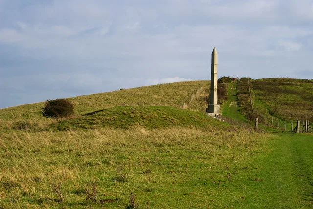 📷 5
📷 5Frequently asked questions
- Where is Drackenorth?
- Drackenorth is in South-West England, United Kingdom (postcode DT8 3PG), in the parish of Hooke.
- What is Drackenorth?
- Drackenorth — a mountain in england-south-west, United Kingdom, 221 m.
- How do I get to Drackenorth?
- The nearest railway station is Maiden Newton, about 6.7 km away. Drivers can use postcode DT8 3PG.
- Is Drackenorth a protected site?
- Yes — Drackenorth is part of the KINGCOMBE National Nature Reserve and the Dorset National Landscape (AONB).
- Is Drackenorth free to visit?
- Yes, Drackenorth is free to enter.
- How do I get to Drackenorth?
- The nearest railway station is Maiden Newton, about 6.7 km away. Drivers can navigate to postcode DT8 3PG.