
Forests & woodlands · South East England
Cothill Fen
In or near Boars Hill.
Cothill Fen is a forest or woodland in the United Kingdom.

Wikimedia Commons licence
Plan your visit
- Typical visit
- 1 h–3 h
- Nearest railway station
- Radley · 6.5 km
- Free entry
- Family-friendly
- Dog-friendly
Getting there & planning your visit
To visit Cothill Fen, you can take the train to Radley station, which is 6.5 km away. The postcode for Cothill Fen is OX13 6JP. Entry to the site is free.
About
Cothill Fen is a named forest, woodland or nature reserve in the United Kingdom. Coordinates: 51.7004°, -1.3320°. This entry is part of The Great Britain Guide, a free, ad-free, open-data tourist directory.
Photo gallery
Protected designations
- Site of Special Scientific Interest: Cothill Fen SSSI
Designations sourced from Natural England open data under OGL v3.
From the Wikipedia article
Cothill Fen is a 43.3-hectare (107-acre) biological and geological Site of Special Scientific Interest north-west of Abingdon-on-Thames in Oxfordshire. It is a Special Area of Conservation and parts of it are a Geological Conservation Review site, a Nature Conservation Review site, Grade 1, and a National Nature Reserve. It also includes two areas which are nature reserves managed by the Berkshire, Buckinghamshire and Oxfordshire Wildlife Trust, Lashford Lane Fen and Parsonage Moor. This site has nationally rare calcareous fen and moss-rich mire habitats and a rich invertebrate fauna, including 25 species in the Red Data Book of Invertebrates. More than 330 vascular plants have been recorded. It is a nationally important site geologically because the sampling the peat gives a picture of the vegetation over the early Holocene, between 10,000 and 6,500 years ago.
Excerpt from Wikipedia under CC BY-SA 4.0. See the source article linked in Sources below.
- Coordinates
- 51.7004, -1.3320
- County
- Oxfordshire
- District
- Vale of White Horse
- Parish
- St Helen Without
- Postcode
- OX13 6JP
- Parliamentary constituency
- Oxford West and Abingdon
- Nearest railway station
- Radley — 6.5 km
Sources
- osm: r20584193 (ODbL)
- wikipedia: Cothill Fen (CC BY-SA 4.0)
Other places nearby
Parsonage Moor
Wildlife reserves · 0.6 km
Parsonage Moor
Forests & woodlands · 0.6 km
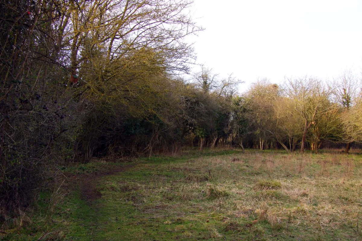
Lashford Lane Fen
Wildlife reserves · 0.9 km
.jpg?width=1200)
Lashford Lane Fen
Forests & woodlands · 0.9 km

Dry Sandford Pit
Forests & woodlands · 1.0 km
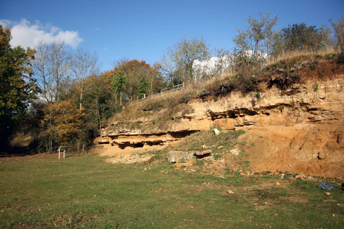
Dry Sandford Pit
Wildlife reserves · 1.1 km

Hitchcopse Pit
Forests & woodlands · 1.3 km

Wootton
Villages · 1.3 km
Hitchcopse Pit
Wildlife reserves · 1.4 km
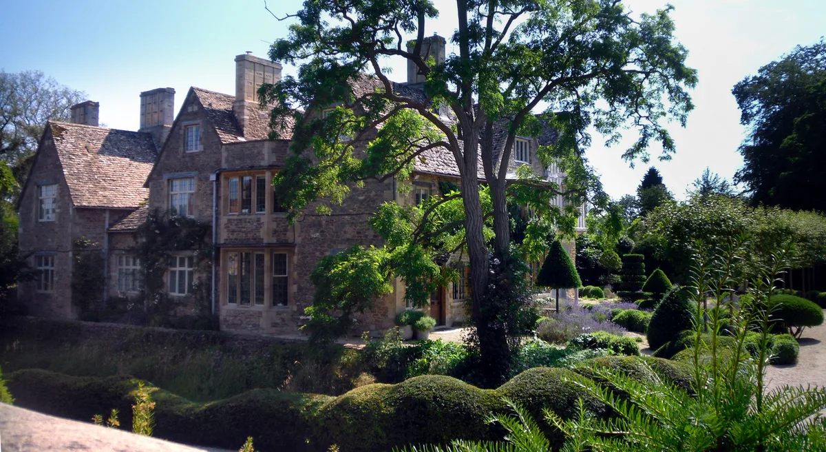
Appleton Manor
Stately homes · 2.2 km

The Thatched Tavern Public House
Historic pubs · 2.3 km

Settlement site N of Cow Lane
Vineyards · 2.6 km
Nearby
📷 3Wildlife reserves · South East England
Parsonage Moor
Parsonage Moor — nature reserve in Oxfordshire, England, UK.
📷 3Forests & woodlands · South East England
Parsonage Moor
Parsonage Moor is a forest or woodland in the United Kingdom.
📷 3Wildlife reserves · South East England
Lashford Lane Fen
Lashford Lane Fen — nature reserve in Dry Sandford, Oxfordshire, UK.
📷 3Forests & woodlands · South East England
Lashford Lane Fen
Lashford Lane Fen is a forest or woodland in the United Kingdom.
📷 3Forests & woodlands · South East England
Dry Sandford Pit
Dry Sandford Pit is a forest or woodland in the United Kingdom.
📷 3Wildlife reserves · South East England
Dry Sandford Pit
Dry Sandford Pit — UK Site of Special Scientific Interest.
Where to eat & stay near Cothill Fen
Places to stay
 📷 5
📷 5Campsites · South East England
Barefoot Campsites
Barefoot Campsites — a campsite in england west midlands.
 📷 5
📷 5Campsites · South East England
Youlbury Scout Activity Centre
Youlbury Scout Activity Centre — a campsite in england west midlands.
 📷 7
📷 7Hotels · South East England
Hilton Garden Inn Abingdon Oxford
Hilton Garden Inn Abingdon Oxford — a hotel in england west midlands. 4-star. Brand: Hilton Garden Inn.
 📷 5
📷 5Caravan parks · South East England
Thameside Court Residential Caravan Park
Thameside Court Residential Caravan Park — a caravan park in england west midlands.
 📷 7
📷 7 📷 5
📷 5Caravan parks · South East England
Bablock Hythe Caravan Park
Bablock Hythe Caravan Park — a caravan park in england west midlands.
Places to eat & drink
📷 5Historic pubs · South East England
The Thatched Tavern Public House
The Thatched Tavern Public House in England South East, United Kingdom.
 📷 5
📷 5Historic pubs · South East England
Bear And Ragged Staff Inn
Bear And Ragged Staff Inn in England South East, United Kingdom.
 📷 5
📷 5Restaurants · South East England
The White Hart
The White Hart — a restaurant in england west midlands.
 📷 5
📷 5Historic pubs · South East England
The Spread Eagle Public House
The Spread Eagle Public House in England South East, United Kingdom.
 📷 7
📷 7Historic pubs · South East England
143, Ock Street
143, Ock Street in England South East, United Kingdom.
 📷 5
📷 5Historic pubs · South East England
Former Mr Warricks Arms Hotel
Former Mr Warricks Arms Hotel in England South East, United Kingdom.
More forests in this region
 📷 5
📷 5Forests & woodlands · South East England
Darland Banks
Darland Banks is a forest or woodland in the United Kingdom.
.jpg?width=1200) 📷 5
📷 5Forests & woodlands · South East England
Inholms Lane Clay Pit Nature Reserve
Inholms Lane Clay Pit Nature Reserve is a forest or woodland in the United Kingdom.
 📷 5
📷 5Forests & woodlands · South East England
Jeskyns Community Woodland
Jeskyns Community Woodland is a forest or woodland in the United Kingdom.
 📷 5
📷 5Forests & woodlands · South East England
Oxmore Copse
Oxmore Copse is a forest or woodland in the United Kingdom.
Frequently asked questions
- Where is Cothill Fen?
- Cothill Fen is in Oxfordshire, South-East England, United Kingdom (postcode OX13 6JP), in the parish of St Helen Without.
- What is Cothill Fen?
- Cothill Fen is a forest or woodland in the United Kingdom.
- How do I get to Cothill Fen?
- The nearest railway station is Radley, about 6.5 km away. The nearest town is Boars Hill. Drivers can use postcode OX13 6JP.
- Is Cothill Fen a protected site?
- Yes — Cothill Fen is part of the Cothill Fen SSSI Site of Special Scientific Interest.
- Is Cothill Fen free to visit?
- Yes, Cothill Fen is free to enter.
- How do I get to Cothill Fen?
- The nearest railway station is Radley, about 6.5 km away. Drivers can navigate to postcode OX13 6JP.