
Forests & woodlands · South East England
Inholms Lane Clay Pit Nature Reserve
In or near Betchworth.
Inholms Lane Clay Pit Nature Reserve is a forest or woodland in the United Kingdom.
.jpg?width=1200)
Wikimedia Commons contributors — see linked file page for photographer and licence licence
.jpg)
Plan your visit
- Typical visit
- 1 h–3 h
- Nearest railway station
- Dorking Deepdene · 3.0 km
- Free entry
- Family-friendly
- Dog-friendly
Getting there & planning your visit
To visit Inholms Lane Clay Pit Nature Reserve, the nearest railway station is Dorking Deepdene, located 3 km away. The postcode for your sat-nav is RH5 4TB. Entry to the reserve is free.
About
Inholms Lane Clay Pit Nature Reserve is a named forest, woodland or nature reserve in the United Kingdom. Coordinates: 51.2118°, -0.3205°.
Photo gallery
Protected designations
- Area of Outstanding Natural Beauty: Surrey Hills
Designations sourced from Natural England open data under OGL v3.
From the Wikipedia article
Inholms Clay Pit is a 8.4-hectare (21-acre) Local Nature Reserve south of Dorking in Surrey. It is owned by Mole Valley District Council and from 2009 - 2019 was managed by Surrey Wildlife Trust and since then by Mole Valley District Council. This former clay quarry has young woodland and open grassland. Flora in the woods include dog's mercury and wood anemone, while the grassland has orchids almost entirely common spotted. Access is from Inholms Lane via a footpath from Holmbury Drive. The interest of the site lies in its successional diversity, as is typical for brownfield sites. Habitats range from ancient semi natural woodland to freshly bare soil, with many areas that were bare soil 40 years or more ago. Two south-facing cliffs were created by SWT around 2012 to benefit thermophilic hymenoptera, a first for Surrey.
Excerpt from Wikipedia under CC BY-SA 4.0. See the source article linked in Sources below.
- Coordinates
- 51.2118, -0.3205
- County
- Surrey
- District
- Mole Valley
- Parish
- Mole Valley, unparished area
- Postcode
- RH5 4TB
- Parliamentary constituency
- Dorking and Horley
- Nearest railway station
- Dorking Deepdene — 3 km
Sources
- osm: w28711060 (ODbL)
- wikipedia: Inholms Clay Pit (CC BY-SA 4.0)
- commons: Inholms Clay Pit (3).jpg (CC BY-SA 4.0)
Other places nearby

Hope Mausoleum
Follies · 1.3 km

Folly Tower At Tower Cottage
Memorials & monuments · 1.3 km

Gin Kitchen
Distilleries · 1.3 km

Tower Hill
Mountains & hills · 1.4 km
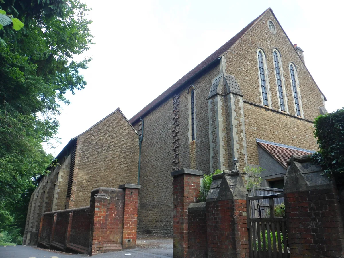
St Joseph's Church, Dorking
Historic churches · 1.9 km

Deepdene House (site of)
Archaeological sites · 2.1 km

Deepdene House (site of)
Archaeological sites · 2.1 km

Bartholomew Press
Public art & sculpture · 2.1 km
.jpg?width=1200)
The Dutch House
Historic houses · 2.1 km

Holmwood War Memorial
Memorials & monuments · 2.2 km

The Temple
Follies · 2.2 km

South Street Gallery & Picture Framing
Galleries · 2.3 km
Nearby
📷 5Follies · South East England
Hope Mausoleum
Hope Mausoleum is a folly in the United Kingdom.
📷 5Memorials & monuments · South East England
Folly Tower At Tower Cottage
Folly Tower At Tower Cottage — Grade II listed building-listed memorial in england-london, United Kingdom.
📷 5Distilleries · South East England
Gin Kitchen
Gin Kitchen — Whisky/spirit distillery.
📷 5📷 5Historic churches · South East England
St Joseph's Church, Dorking
St Joseph's Church, Dorking — church in Surrey, United Kingdom.
📷 5Archaeological sites · South East England
Deepdene House (site of)
Deepdene House (site of) — a archaeological in england-london, United Kingdom.
Where to eat & stay near Inholms Lane Clay Pit Nature Reserve
Places to stay
 📷 5
📷 5Caravan parks · South East England
Conifer Park Caravan Site
Conifer Park Caravan Site — a caravan park in england london.
 📷 5📷 5
Caravan parks · South East England
Henfold Lakes Fishery and Caravan Park
Henfold Lakes Fishery and Caravan Park — a caravan park in england south east.
 📷 5
📷 5 📷 5
📷 5 📷 5
📷 5Caravan parks · South East England
Surrey Hills Park
Surrey Hills Park — a caravan park in england south east.
Places to eat & drink
 📷 7
📷 7 📷 7
📷 7Historic pubs · South East England
The Seven Stars Public House
The Seven Stars Public House in England South East, United Kingdom.
 📷 5
📷 5Historic pubs · South East England
The Skimmington Castle Public House
The Skimmington Castle Public House in England South East, United Kingdom.
 📷 7
📷 7Historic pubs · South East England
Blue Anchor Public House
Blue Anchor Public House in England South East, United Kingdom.
 📷 5
📷 5Historic pubs · South East England
The Old School Public House
The Old School Public House in England South East, United Kingdom.
 📷 7
📷 7Historic pubs · South East England
The Bull's Head Inn
The Bull's Head Inn in England South East, United Kingdom.
More forests in this region
 📷 5
📷 5Forests & woodlands · South East England
Darland Banks
Darland Banks is a forest or woodland in the United Kingdom.
 📷 5
📷 5Forests & woodlands · South East England
Jeskyns Community Woodland
Jeskyns Community Woodland is a forest or woodland in the United Kingdom.
 📷 5
📷 5Forests & woodlands · South East England
Oxmore Copse
Oxmore Copse is a forest or woodland in the United Kingdom.
 📷 5
📷 5Forests & woodlands · South East England
Quarry Hangers & Park Ham Nature Reserve
Quarry Hangers & Park Ham Nature Reserve is a forest or woodland in the United Kingdom.
Frequently asked questions
- Where is Inholms Lane Clay Pit Nature Reserve?
- Inholms Lane Clay Pit Nature Reserve is in Surrey, South-East England, United Kingdom (postcode RH5 4TB), in the parish of Mole Valley, unparished area.
- What is Inholms Lane Clay Pit Nature Reserve?
- Inholms Lane Clay Pit Nature Reserve is a forest or woodland in the United Kingdom.
- How do I get to Inholms Lane Clay Pit Nature Reserve?
- The nearest railway station is Dorking Deepdene, about 3.0 km away. The nearest town is Betchworth. Drivers can use postcode RH5 4TB.
- Who owns Inholms Lane Clay Pit Nature Reserve?
- Inholms Lane Clay Pit Nature Reserve is owned by Surrey Wildlife Trust.
- Is Inholms Lane Clay Pit Nature Reserve a protected site?
- Yes — Inholms Lane Clay Pit Nature Reserve is part of the Surrey Hills National Landscape (AONB).
- Is Inholms Lane Clay Pit Nature Reserve free to visit?
- Yes, Inholms Lane Clay Pit Nature Reserve is free to enter.
- How do I get to Inholms Lane Clay Pit Nature Reserve?
- The nearest railway station is Dorking Deepdene, about 3.0 km away. Drivers can navigate to postcode RH5 4TB.