Wildlife reserves · West Midlands
Hitchcopse Pit
Hitchcopse Pit is a wildlife reserve in the United Kingdom.

Wikimedia Commons licence
Plan your visit
- Typical visit
- 2 h–4 h
- Best time of year
- Autumn & winter (migration & wildfowl)
- Nearest railway station
- Radley · 7.4 km
- Free entry
- Dog-friendly
About
Hitchcopse Pit is a wildlife reserve in the United Kingdom. Coordinates: 51.6924°, -1.3475°. This entry is part of The Great Britain Guide, a free, ad-free, open-data tourist directory.
Photo gallery
Protected designations
- Site of Special Scientific Interest: Frilford Heath, Ponds and Fens SSSI
Designations sourced from Natural England open data under OGL v3.
From the Wikipedia article
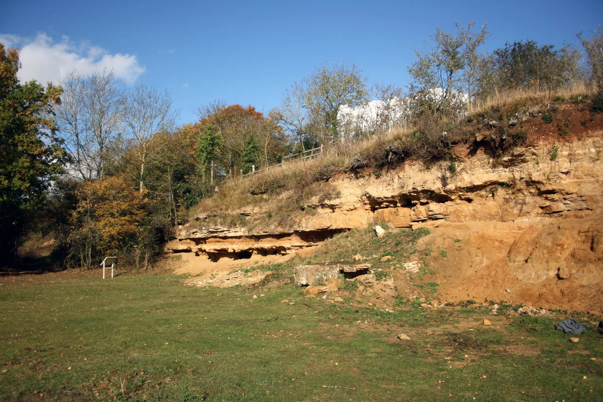
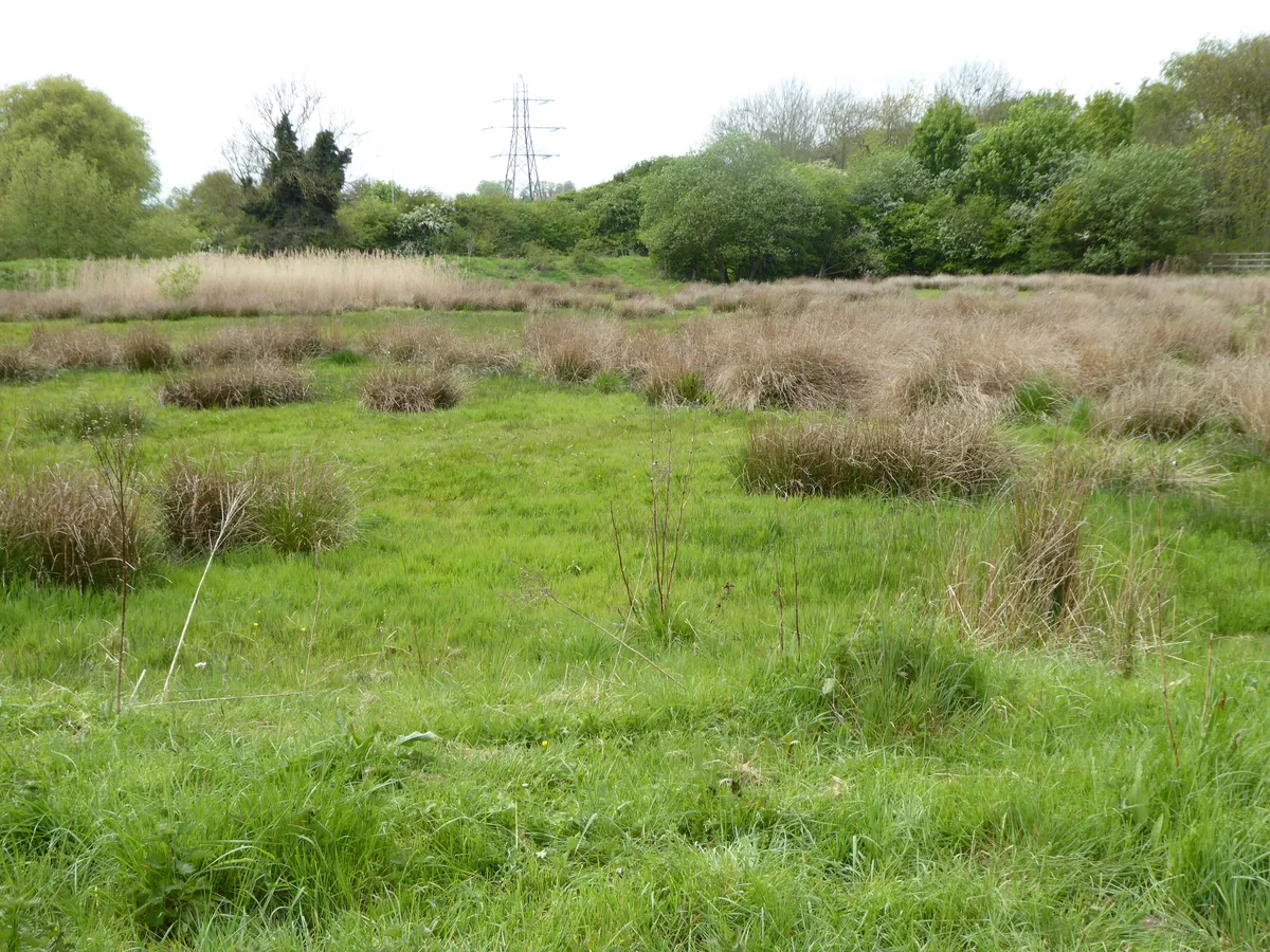
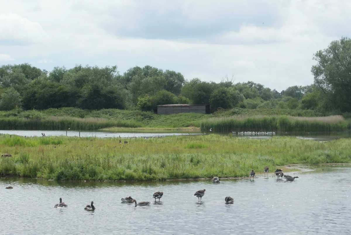
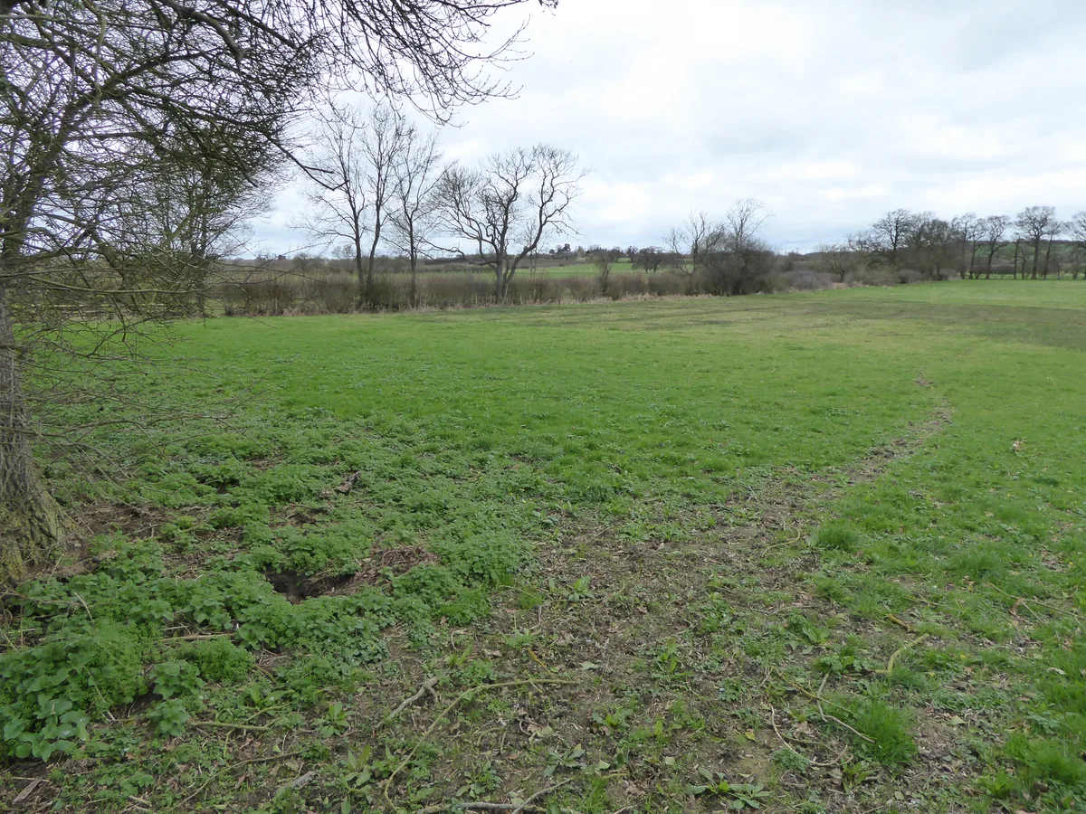
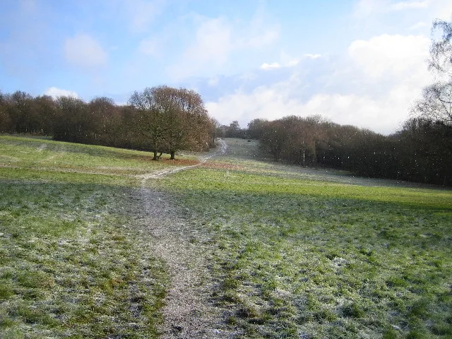
Hitchcopse Pit is a 3-hectare (7.4-acre) nature reserve north-west of Abingdon-on-Thames in Oxfordshire. It is managed by the Berkshire, Buckinghamshire and Oxfordshire Wildlife Trust. It is part of Frilford Heath, Ponds and Fens, which is a Site of Special Scientific Interest. This former sand quarry has heath, woodland, scrub, grassland and a pond. There are many solitary bees and wasps, which create burrows in the soft sand walls of the quarry. The ground has many lichens and grassland plants, and there are scattered boulders which are covered with mosses.
Excerpt from Wikipedia under CC BY-SA 4.0. See the source article linked in Sources below.
- Coordinates
- 51.6924, -1.3475
- County
- Oxfordshire
- District
- Vale of White Horse
- Parish
- Marcham
- Postcode
- OX13 5QG
- Parliamentary constituency
- Oxford West and Abingdon
- Nearest railway station
- Radley — 7.4 km
- Official site
- www.bbowt.org.uk
Sources
- wikidata: Q90102681 (CC0)
- wikipedia: Hitchcopse Pit (CC BY-SA 4.0)
Other places nearby
Loading nearby places…
Nearby
📷 3Forests & woodlands · West Midlands
Hitchcopse Pit
Hitchcopse Pit is a forest or woodland in the United Kingdom.
 📷 3
📷 3Forests & woodlands · West Midlands
Parsonage Moor
Parsonage Moor is a forest or woodland in the United Kingdom.
📷 3Wildlife reserves · West Midlands
Parsonage Moor
Parsonage Moor — nature reserve in Oxfordshire, England, UK.
📷 3Forests & woodlands · West Midlands
Cothill Fen
Cothill Fen is a forest or woodland in the United Kingdom.
 📷 3
📷 3Wildlife reserves · West Midlands
Dry Sandford Pit
Dry Sandford Pit — UK Site of Special Scientific Interest.
 📷 3
📷 3Forests & woodlands · West Midlands
Dry Sandford Pit
Dry Sandford Pit is a forest or woodland in the United Kingdom.
More places in this region
 Flagship📷 3
Wildlife reserves · West Midlands
Abington Meadows
Abington Meadows — nature reserve in the United Kingdom.
 📷 5
📷 5Wildlife reserves · West Midlands
Brandon Marsh
Brandon Marsh — nature reserve in the United Kingdom.
 📷 5
📷 5Wildlife reserves · West Midlands
Bugbrooke Meadows
Bugbrooke Meadows — nature reserve in the United Kingdom.
 📷 5
📷 5Wildlife reserves · West Midlands
Chorleywood Common
Chorleywood Common — nature reserve in Hertfordshire, England.
Frequently asked questions
- Where is Hitchcopse Pit?
- Hitchcopse Pit is in Oxfordshire, the West Midlands, United Kingdom (postcode OX13 5QG), in the parish of Marcham.
- Who owns Hitchcopse Pit?
- Hitchcopse Pit is owned by Berkshire, Buckinghamshire and Oxfordshire Wildlife Trust.
- Is Hitchcopse Pit a protected site?
- Yes — Hitchcopse Pit is part of the Frilford Heath, Ponds and Fens SSSI Site of Special Scientific Interest.
- Is Hitchcopse Pit free to visit?
- Yes, Hitchcopse Pit is free to enter.
- How do I get to Hitchcopse Pit?
- The nearest railway station is Radley, about 7.4 km away. Drivers can navigate to postcode OX13 5QG.
- Are dogs allowed at Hitchcopse Pit?
- Most wildlife reserves allow dogs on lead only, with restrictions during ground-nesting bird season (March-July). Check signage at the reserve.