Forests & woodlands · West Midlands
Parsonage Moor
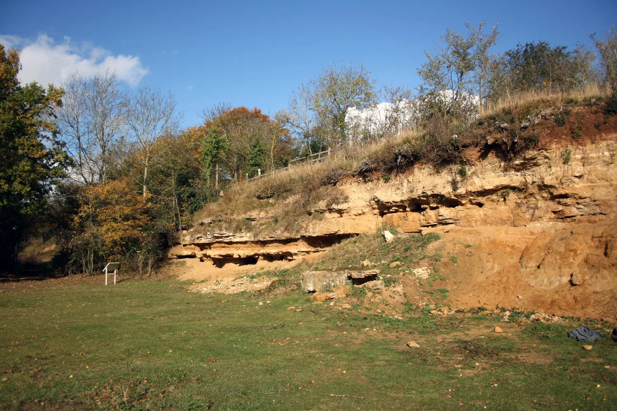
Parsonage Moor is a forest or woodland in the United Kingdom.

Wikimedia Commons licence
Plan your visit
- Typical visit
- 1 h–3 h
- Nearest railway station
- Radley · 6.8 km
- Free entry
- Family-friendly
- Dog-friendly
About
Parsonage Moor is a named forest, woodland or nature reserve in the United Kingdom. Coordinates: 51.6956°, -1.3372°. This entry is part of The Great Britain Guide, a free, ad-free, open-data tourist directory.
Photo gallery
Protected designations
- Site of Special Scientific Interest: Cothill Fen SSSI
Designations sourced from Natural England open data under OGL v3.
From the Wikipedia article
Parsonage Moor is a 6-hectare (15-acre) nature reserve north-west of Abingdon-on-Thames in Oxfordshire, United Kingdom. It is managed by the Berkshire, Buckinghamshire and Oxfordshire Wildlife Trust. It is part of Cothill Fen, which is a Site of Special Scientific Interest and Special Area of Conservation. Part of it is in Cothill Fen and Parsonage Moor Nature Conservation Review site, Grade I. This site has fen, which is a nationally rare habitat, wet woodland, ancient woodland, open water and reedbeds. There are carnivorous plants, such as butterwort, which traps insects on its sticky leaves, and bladderwort, which traps them underwater. Other flora include southern marsh-orchids and the nationally scarce narrow-leaved marsh orchid
Excerpt from Wikipedia under CC BY-SA 4.0. See the source article linked in Sources below.
- Coordinates
- 51.6956, -1.3372
- County
- Oxfordshire
- District
- Vale of White Horse
- Parish
- St Helen Without
- Postcode
- OX13 6JL
- Parliamentary constituency
- Oxford West and Abingdon
- Nearest railway station
- Radley — 6.8 km
- Official site
- www.bbowt.org.uk
Sources
- osm: w58216492 (ODbL)
- wikipedia: Parsonage Moor (CC BY-SA 4.0)
Other places nearby
Loading nearby places…
Nearby
📷 3Wildlife reserves · West Midlands
Parsonage Moor
Parsonage Moor — nature reserve in Oxfordshire, England, UK.
📷 3Forests & woodlands · West Midlands
Cothill Fen
Cothill Fen is a forest or woodland in the United Kingdom.
 📷 3
📷 3Forests & woodlands · West Midlands
Hitchcopse Pit
Hitchcopse Pit is a forest or woodland in the United Kingdom.
📷 3Wildlife reserves · West Midlands
Hitchcopse Pit
Hitchcopse Pit is a wildlife reserve in the United Kingdom.
 📷 3
📷 3Forests & woodlands · West Midlands
Dry Sandford Pit
Dry Sandford Pit is a forest or woodland in the United Kingdom.
 📷 3
📷 3Wildlife reserves · West Midlands
Dry Sandford Pit
Dry Sandford Pit — UK Site of Special Scientific Interest.
More forests in this region
 📷 3
📷 3Forests & woodlands · West Midlands
Abington Meadows Nature Reserve
Abington Meadows Nature Reserve is a forest or woodland in the United Kingdom.
_(geograph_2935627).jpg?width=1200) 📷 3
📷 3Forests & woodlands · West Midlands
Adderbury Lakes
Adderbury Lakes is a forest or woodland in the United Kingdom.
 📷 3
📷 3Forests & woodlands · West Midlands
Alcott Wood
Alcott Wood is a forest or woodland in the United Kingdom.
 📷 3
📷 3Forests & woodlands · West Midlands
Alvecote Meadows Nature Reserve
Alvecote Meadows Nature Reserve is a forest or woodland in the United Kingdom.
Frequently asked questions
- Where is Parsonage Moor?
- Parsonage Moor is in Oxfordshire, the West Midlands, United Kingdom (postcode OX13 6JL), in the parish of St Helen Without.
- Who owns Parsonage Moor?
- Parsonage Moor is owned by Berkshire, Buckinghamshire and Oxfordshire Wildlife Trust.
- Is Parsonage Moor a protected site?
- Yes — Parsonage Moor is part of the Cothill Fen SSSI Site of Special Scientific Interest.
- Is Parsonage Moor free to visit?
- Yes, Parsonage Moor is free to enter.
- How do I get to Parsonage Moor?
- The nearest railway station is Radley, about 6.8 km away. Drivers can navigate to postcode OX13 6JL.