Wildlife reserves · West Midlands
Lashford Lane Fen
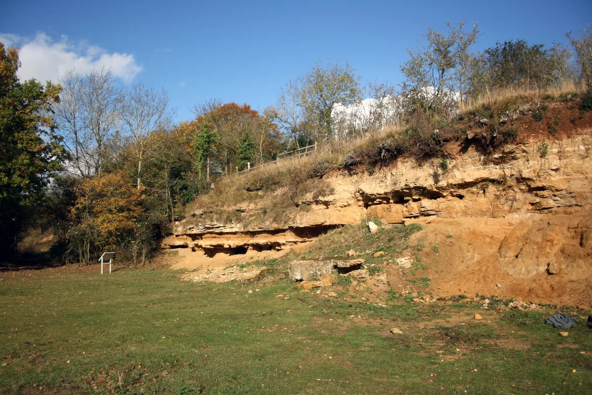
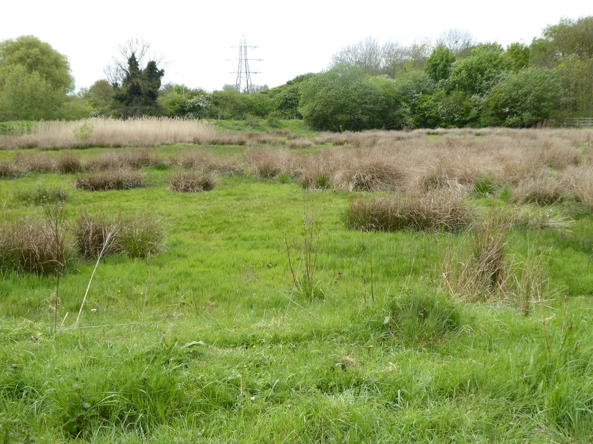
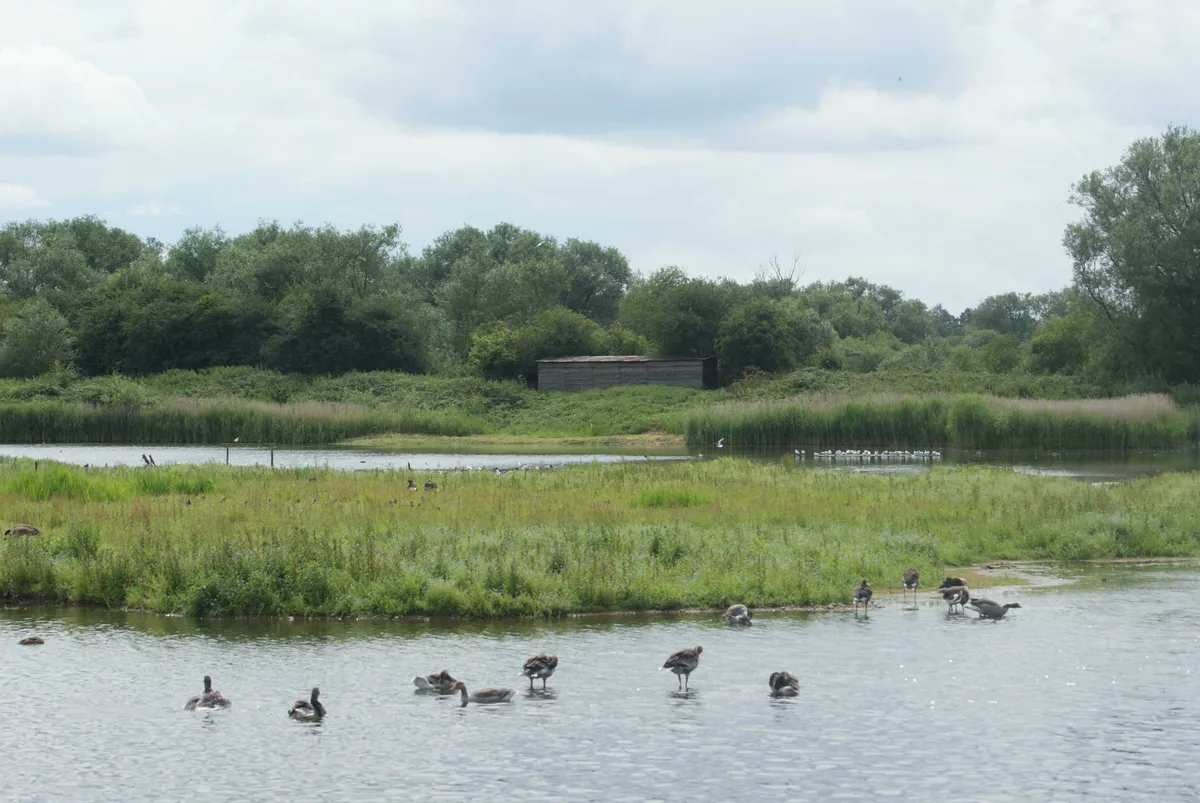
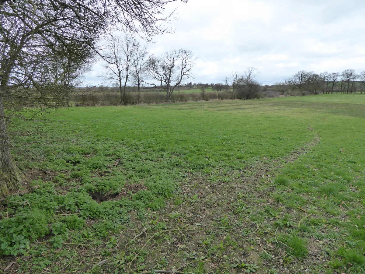
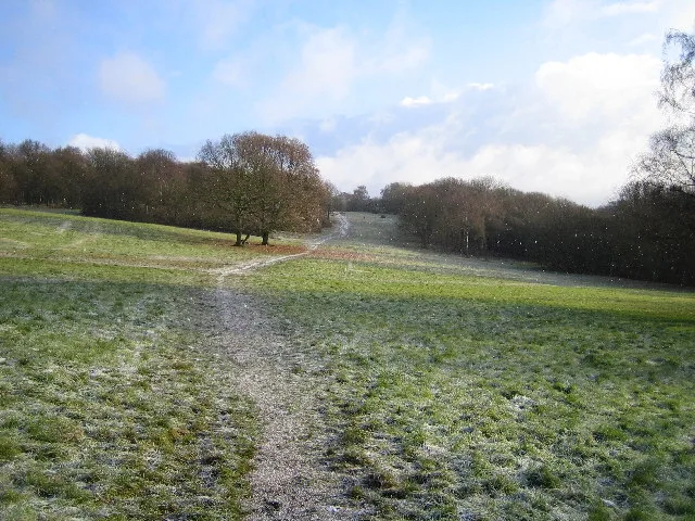
Lashford Lane Fen — nature reserve in Dry Sandford, Oxfordshire, UK.

Wikimedia Commons contributors — see linked file page for photographer and licence licence
.jpg)
Plan your visit
- Typical visit
- 2 h–4 h
- Best time of year
- Autumn & winter (migration & wildfowl)
- Nearest railway station
- Radley · 6.2 km
- Free entry
- Dog-friendly
About
Lashford Lane Fen is a wildlife reserve in the United Kingdom. Part of Cothill Fen. Wikidata describes it as: "nature reserve in Dry Sandford, Oxfordshire, UK". Coordinates: 51.7067°, -1.3241°.
Photo gallery
Protected designations
- Site of Special Scientific Interest: Cothill Fen SSSI
Designations sourced from Natural England open data under OGL v3.
From the Wikipedia article
Lashford Lane Fen is a 7-hectare (17-acre) nature reserve north of Dry Sandford in Oxfordshire. It is managed by the Berkshire, Buckinghamshire and Oxfordshire Wildlife Trust. It is part of Cothill Fen, which is a Site of Special Scientific Interest and Special Area of Conservation. Sandford Brook runs through this wet valley, which has limestone grassland, fen, woods, scrub, a pond and reedbeds. Reed buntings winter on the site, and other birds include water rail and reed warblers. There are common frogs and grass snakes.
Excerpt from Wikipedia under CC BY-SA 4.0. See the source article linked in Sources below.
- Coordinates
- 51.7067, -1.3241
- County
- Oxfordshire
- District
- Vale of White Horse
- Parish
- St Helen Without
- Postcode
- OX13 6DY
- Parliamentary constituency
- Oxford West and Abingdon
- Nearest railway station
- Radley — 6.2 km
Sources
- wikidata: Q96068914 (CC0)
- wikipedia: Lashford Lane Fen (CC BY-SA 4.0)
- commons: Footpath in Lashford Lane Fen (geograph 2311685).jpg (CC BY-SA 4.0)
Other places nearby
Loading nearby places…
Nearby
.jpg?width=1200) 📷 3
📷 3Forests & woodlands · West Midlands
Lashford Lane Fen
Lashford Lane Fen is a forest or woodland in the United Kingdom.
 📷 3
📷 3Forests & woodlands · West Midlands
Cothill Fen
Cothill Fen is a forest or woodland in the United Kingdom.
📷 3Wildlife reserves · West Midlands
Parsonage Moor
Parsonage Moor — nature reserve in Oxfordshire, England, UK.
📷 3Forests & woodlands · West Midlands
Parsonage Moor
Parsonage Moor is a forest or woodland in the United Kingdom.
 📷 3
📷 3Forests & woodlands · West Midlands
Dry Sandford Pit
Dry Sandford Pit is a forest or woodland in the United Kingdom.
 📷 3
📷 3Wildlife reserves · West Midlands
Dry Sandford Pit
Dry Sandford Pit — UK Site of Special Scientific Interest.
More places in this region
 Flagship📷 3
Wildlife reserves · West Midlands
Abington Meadows
Abington Meadows — nature reserve in the United Kingdom.
 📷 5
📷 5Wildlife reserves · West Midlands
Brandon Marsh
Brandon Marsh — nature reserve in the United Kingdom.
 📷 5
📷 5Wildlife reserves · West Midlands
Bugbrooke Meadows
Bugbrooke Meadows — nature reserve in the United Kingdom.
 📷 5
📷 5Wildlife reserves · West Midlands
Chorleywood Common
Chorleywood Common — nature reserve in Hertfordshire, England.
Frequently asked questions
- Where is Lashford Lane Fen?
- Lashford Lane Fen is in Oxfordshire, the West Midlands, United Kingdom (postcode OX13 6DY), in the parish of St Helen Without.
- Who owns Lashford Lane Fen?
- Lashford Lane Fen is owned by Berkshire, Buckinghamshire and Oxfordshire Wildlife Trust.
- Is Lashford Lane Fen a protected site?
- Yes — Lashford Lane Fen is part of the Cothill Fen SSSI Site of Special Scientific Interest.
- Is Lashford Lane Fen free to visit?
- Yes, Lashford Lane Fen is free to enter.
- How do I get to Lashford Lane Fen?
- The nearest railway station is Radley, about 6.2 km away. Drivers can navigate to postcode OX13 6DY.
- Are dogs allowed at Lashford Lane Fen?
- Most wildlife reserves allow dogs on lead only, with restrictions during ground-nesting bird season (March-July). Check signage at the reserve.