Mountains & hills · East Midlands
Britland Edge Hill
In or near Marsden.
Britland Edge Hill — Named summit at 523 m.

Wikimedia Commons contributors — see linked file page for photographer and licence licence
Plan your visit
- Typical visit
- 3 h–8 h
- Best time of year
- Late spring – early autumn (May–Oct)
- Nearest railway station
- Brockholes · 9.8 km
- Free entry
- Dog-friendly
About
Britland Edge Hill is a named summit in the United Kingdom. Wikidata describes it as: "Named summit at 523 m.". Coordinates: 53.5199°, -1.8416°.
Photo gallery
Protected designations
- Site of Special Scientific Interest: Dark Peak SSSI
Designations sourced from Natural England open data under OGL v3.
From the Wikipedia article
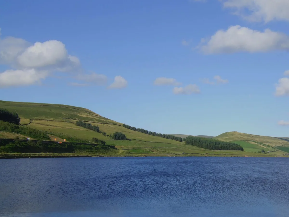
Britland Edge Hill is a hill, 523 metres (1,716 ft) high, in the Peak District in England. It is located on the border of Derbyshire and West Yorkshire.
Excerpt from Wikipedia under CC BY-SA 4.0. See the source article linked in Sources below.
Background
Description
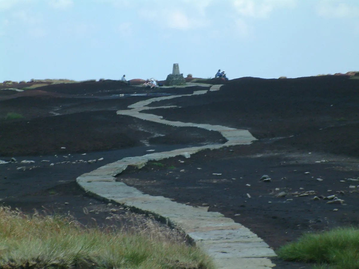
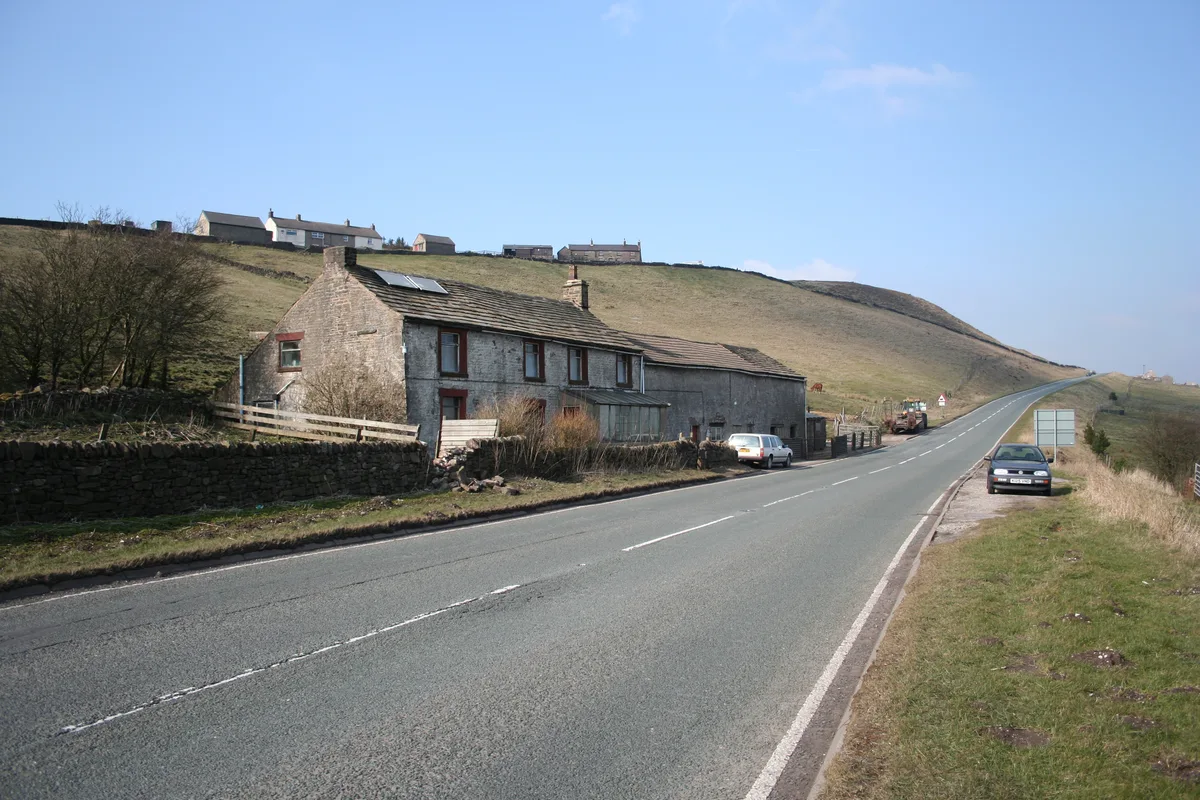
Britland Edge Hill is a prominent hill in the northern Peak District between the towns of Glossop and Holmfirth. It rises east of the A6024. To the south it descends to a prominent spur, known as Dewhill Naze, which in turn drops steeply into the valley of the Heyden Brook and Woodhead Reservoir. The hill, like most of the surrounding area is bare and open. There are no footpaths to the top, but there is a car park about 1.5 km to the north-northwest, where the A6024 crosses the adjoining ridge of Upper Heyden.
Sourced from Wikipedia under CC BY-SA 4.0.
- Coordinates
- 53.5199, -1.8416
- Address
- Derbyshire, England, UK
- Nearest railway station
- Brockholes — 9.8 km
Sources
- osm: n340145312 (ODbL)
- wikipedia: Britland Edge Hill (CC BY-SA 4.0)
- commons: Tooleyshaw Moor - geograph.org.uk - 423619.jpg (CC BY-SA 4.0)
Other places nearby

White Low
Mountains & hills · 1.9 km

Dead Edge End
Mountains & hills · 2.0 km

Snailsden Pike End
Mountains & hills · 2.4 km

Pikenaze Hill
Mountains & hills · 2.4 km

Westend Moss
Mountains & hills · 2.6 km

Holme
Villages · 3.4 km
Woodhead Reservoir
Reservoirs & lochs · 3.4 km
Black Hill
Mountains & hills · 3.5 km

Black Hill
Mountains & hills · 3.5 km

Sliddens Moss
Mountains & hills · 3.6 km

Black Clough waterfall
Waterfalls · 3.7 km

Whitegate Leisure Camping & Caravan Site
Caravan parks · 3.7 km
Nearby
📷 5Mountains & hills · East Midlands
White Low
White Low — mountain in england yorkshire. Elevation: 530 m.
📷 5Mountains & hills · East Midlands
Dead Edge End
Dead Edge End — mountain in england yorkshire. Elevation: 499.6 m.
📷 5Mountains & hills · East Midlands
Snailsden Pike End
Snailsden Pike End — mountain in england yorkshire. Elevation: 477.0 m.
📷 5Mountains & hills · East Midlands
Pikenaze Hill
Pikenaze Hill — mountain in england east midlands. Elevation: 371 m.
📷 5Mountains & hills · East Midlands
Westend Moss
Westend Moss — mountain in england yorkshire. Elevation: 527 m.
📷 5Where to eat & stay near Britland Edge Hill
Places to stay
📷 5Caravan parks · Yorkshire & the Humber
Whitegate Leisure Camping & Caravan Site
Whitegate Leisure Camping & Caravan Site — a caravan park in england yorkshire.
 📷 5
📷 5Hostels · East Midlands
Crowden Outdoor Education Centre
Crowden Outdoor Education Centre — a hostel in england east midlands.
 📷 5
📷 5Campsites · East Midlands
Crowden Campsite
Crowden Campsite — a campsite in england east midlands.
 📷 5
📷 5Campsites · Yorkshire & the Humber
Rising Sun Farm Campsite
Rising Sun Farm Campsite — a campsite in england yorkshire.
 📷 5
📷 5Campsites · Yorkshire & the Humber
Thurlmoor Farm Camping & Caravan Site
Thurlmoor Farm Camping & Caravan Site — a campsite in england yorkshire.
 📷 5
📷 5Campsites · Yorkshire & the Humber
Holme Valley Camping & Caravan Park
Holme Valley Camping & Caravan Park — a campsite in england yorkshire.
Places to eat & drink
 📷 5
📷 5Historic pubs · East Midlands
Bulls Head Public House
Bulls Head Public House in England Yorkshire, United Kingdom.
 📷 7
📷 7Historic pubs · East Midlands
The Spinners Arms Public House
The Spinners Arms Public House in England Yorkshire, United Kingdom.
 📷 7
📷 7Historic pubs · Yorkshire & the Humber
Wagon And Horses Public House
Wagon And Horses Public House in England Yorkshire, United Kingdom.
 📷 5
📷 5Historic pubs · East Midlands
Norfolk Arms Public House
Norfolk Arms Public House in England Yorkshire, United Kingdom.
 📷 5
📷 5Historic pubs · East Midlands
Former Dollars Public House
Former Dollars Public House in England Yorkshire, United Kingdom.
 📷 5
📷 5Historic pubs · East Midlands
The Oakwood and Oakwood Restaurant
The Oakwood and Oakwood Restaurant in England Yorkshire, United Kingdom.
More mountains in this region
 📷 5
📷 5Mountains & hills · East Midlands
Errwood Hall
The ruin of Errwood Hall is a popular tourist destination in the scenic Upper Goyt Valley within the Peak District of England.
 📷 3
📷 3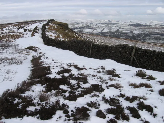 📷 3
📷 3Mountains & hills · East Midlands
Black Edge - Summit
Black Edge - Summit — Named summit at 506.7 m.
Frequently asked questions
- Where is Britland Edge Hill?
- Britland Edge Hill is in Yorkshire, United Kingdom.
- What is Britland Edge Hill?
- Britland Edge Hill — Named summit at 523 m.
- How do I get to Britland Edge Hill?
- The nearest railway station is Brockholes, about 9.8 km away. Its coordinates are 53.5199°, -1.8416°.
- Is Britland Edge Hill a protected site?
- Yes — Britland Edge Hill is part of the Dark Peak SSSI Site of Special Scientific Interest.
- Is Britland Edge Hill free to visit?
- Yes, Britland Edge Hill is free to enter.