Mountains & hills · Yorkshire & the Humber
Sliddens Moss
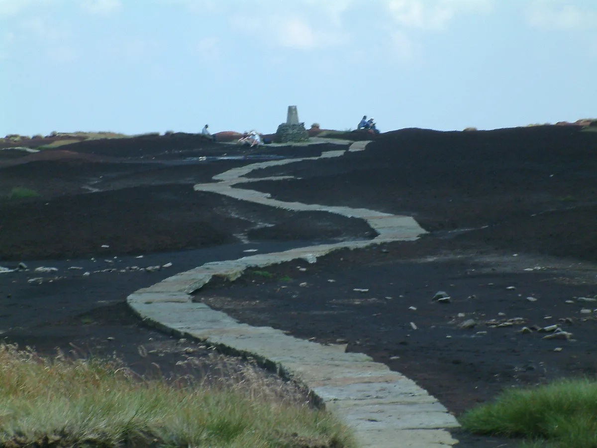
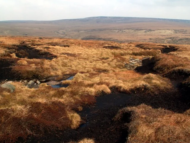
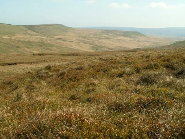
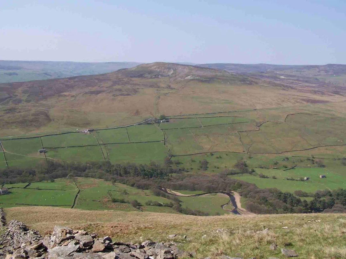
Sliddens Moss — mountain in england yorkshire. Elevation: 520 m.

Anthony Parkes — CC BY-SA 2.0 via Wikimedia Commons licence
Plan your visit
- Typical visit
- 3 h–8 h
- Best time of year
- Late spring – early autumn (May–Oct)
About
Sliddens Moss is a mountain located in england yorkshire. Elevation: 520 m. A named British peak recorded in OpenStreetMap. Peaks are typically named on Ordnance Survey 1:50k mapping.
Photo gallery
Place summary
Sliddens Moss is a mountain located in Yorkshire. It is characterised by its rugged terrain and natural beauty, making it a notable feature in the landscape. The area is suitable for hiking and outdoor activities, attracting those interested in exploring the Yorkshire countryside. Visitors can expect varying trails and scenic views typical of the region's mountainous terrain.
AI-generated from the structured facts on this page (operator, designation, listing, era). Not a substitute for visiting.
- Coordinates
- 53.5259, -1.8952
Sources
- osm: n3718988855 (ODbL)
Other places nearby
Loading nearby places…
Nearby
 📷 3
📷 3Mountains & hills · Yorkshire & the Humber
Black Hill
Black Hill — Named summit at 582 m.
 📷 5
📷 5Mountains & hills · Yorkshire & the Humber
Westend Moss
Westend Moss — mountain in england yorkshire. Elevation: 527 m.
 📷 3
📷 3Mountains & hills · Yorkshire & the Humber
Black Chew Head
Black Chew Head — Named summit at 542 m.
 📷 5
📷 5Mountains & hills · Yorkshire & the Humber
White Low
White Low — mountain in england yorkshire. Elevation: 530 m.
 📷 3
📷 3Natural landmarks · Yorkshire & the Humber
Black Chew Head
Black Chew Head — Hill in the United Kingdom.
 📷 5
📷 5Mountains & hills · Yorkshire & the Humber
Black Hill
Black Hill — a hill or mountain in england yorkshire.
Where to eat & stay near Sliddens Moss
Places to stay
 📷 5
📷 5Hostels · East Midlands
Crowden Outdoor Education Centre
Crowden Outdoor Education Centre — a hostel in england east midlands.
 📷 5
📷 5Campsites · East Midlands
Crowden Campsite
Crowden Campsite — a campsite in england east midlands.
 📷 5
📷 5Caravan parks · Yorkshire & the Humber
Whitegate Leisure Camping & Caravan Site
Whitegate Leisure Camping & Caravan Site — a caravan park in england yorkshire.
 📷 5
📷 5Campsites · Yorkshire & the Humber
Rising Sun Farm Campsite
Rising Sun Farm Campsite — a campsite in england yorkshire.
 📷 5
📷 5Campsites · East Midlands
Crossgate Farm Campsite
Crossgate Farm Campsite — a campsite in england east midlands.
 📷 5
📷 5Caravan parks · East Midlands
Windy Harbour Hotel Caravan and Camping Site
Windy Harbour Hotel Caravan and Camping Site — a caravan park in england east midlands.
Places to eat & drink
 📷 5
📷 5Historic pubs · Yorkshire & the Humber
The Spinners Arms Public House
The Spinners Arms Public House in England Yorkshire, United Kingdom.
 📷 5
📷 5Historic pubs · Yorkshire & the Humber
Bulls Head Public House
Bulls Head Public House in England Yorkshire, United Kingdom.
 📷 5
📷 5Historic pubs · Yorkshire & the Humber
Norfolk Arms Public House
Norfolk Arms Public House in England Yorkshire, United Kingdom.
 📷 5
📷 5Historic pubs · Yorkshire & the Humber
The Oakwood and Oakwood Restaurant
The Oakwood and Oakwood Restaurant in England Yorkshire, United Kingdom.
 📷 5
📷 5Historic pubs · Yorkshire & the Humber
Former Dollars Public House
Former Dollars Public House in England Yorkshire, United Kingdom.
 📷 5
📷 5Historic pubs · Yorkshire & the Humber
The Crown Inn, Glossop
The Crown Inn, Glossop in England Yorkshire, United Kingdom.
More mountains in this region
📷 3Mountains & hills · Yorkshire & the Humber
Black Chew Head
Black Chew Head — Named summit at 542 m.
📷 3Mountains & hills · Yorkshire & the Humber
Black Hill
Black Hill — Named summit at 582 m.
 📷 3
📷 3Mountains & hills · Yorkshire & the Humber
Britland Edge Hill
Britland Edge Hill — Named summit at 523 m.
 📷 3
📷 3Mountains & hills · Yorkshire & the Humber
Calver Hill
Calver Hill — Named summit at 493 m.
Frequently asked questions
- Where is Sliddens Moss?
- Sliddens Moss is in Yorkshire, United Kingdom.
- What is Sliddens Moss?
- Sliddens Moss — mountain in england yorkshire. Elevation: 520 m.
- How do I get to Sliddens Moss?
- Its coordinates are 53.5259°, -1.8952°.