
Mountains & hills · East Midlands
Abington Heights
In or near Overstone.
Abington Heights — mountain in england west midlands. Elevation: 123 m.

Burgess Von Thunen — CC BY-SA 2.0 via Wikimedia Commons licence

Plan your visit
- Typical visit
- 3 h–8 h
- Best time of year
- Late spring – early autumn (May–Oct)
- Nearest railway station
- Boughton · 4.2 km
- Dog-friendly
About
Abington Heights is a mountain located in england west midlands. Elevation: 123 m. A named British peak recorded in OpenStreetMap. Peaks are typically named on Ordnance Survey 1:50k mapping.
Photo gallery
Place summary
Abington Heights is a mountain located in the West Midlands. It offers a variety of outdoor activities, including hiking and climbing, appealing to both casual walkers and more experienced adventurers. The area is characterised by its natural beauty and diverse wildlife, making it a suitable destination for nature enthusiasts. Visitors can expect scenic views and a range of trails that cater to different skill levels.
AI-generated from the structured facts on this page (operator, designation, listing, era). Not a substitute for visiting.
- Coordinates
- 52.2695, -0.8624
- District
- West Northamptonshire
- Parish
- Northampton
- Postcode
- NN3 6HT
- Parliamentary constituency
- Northampton North
- Nearest railway station
- Boughton — 4.2 km
Sources
- osm: n13389028710 (ODbL)
Other places nearby

Thomas Becket Catholic School
Natural landmarks · 0.1 km

Weston Heights
Mountains & hills · 0.3 km

Berserk
Theme parks · 0.7 km
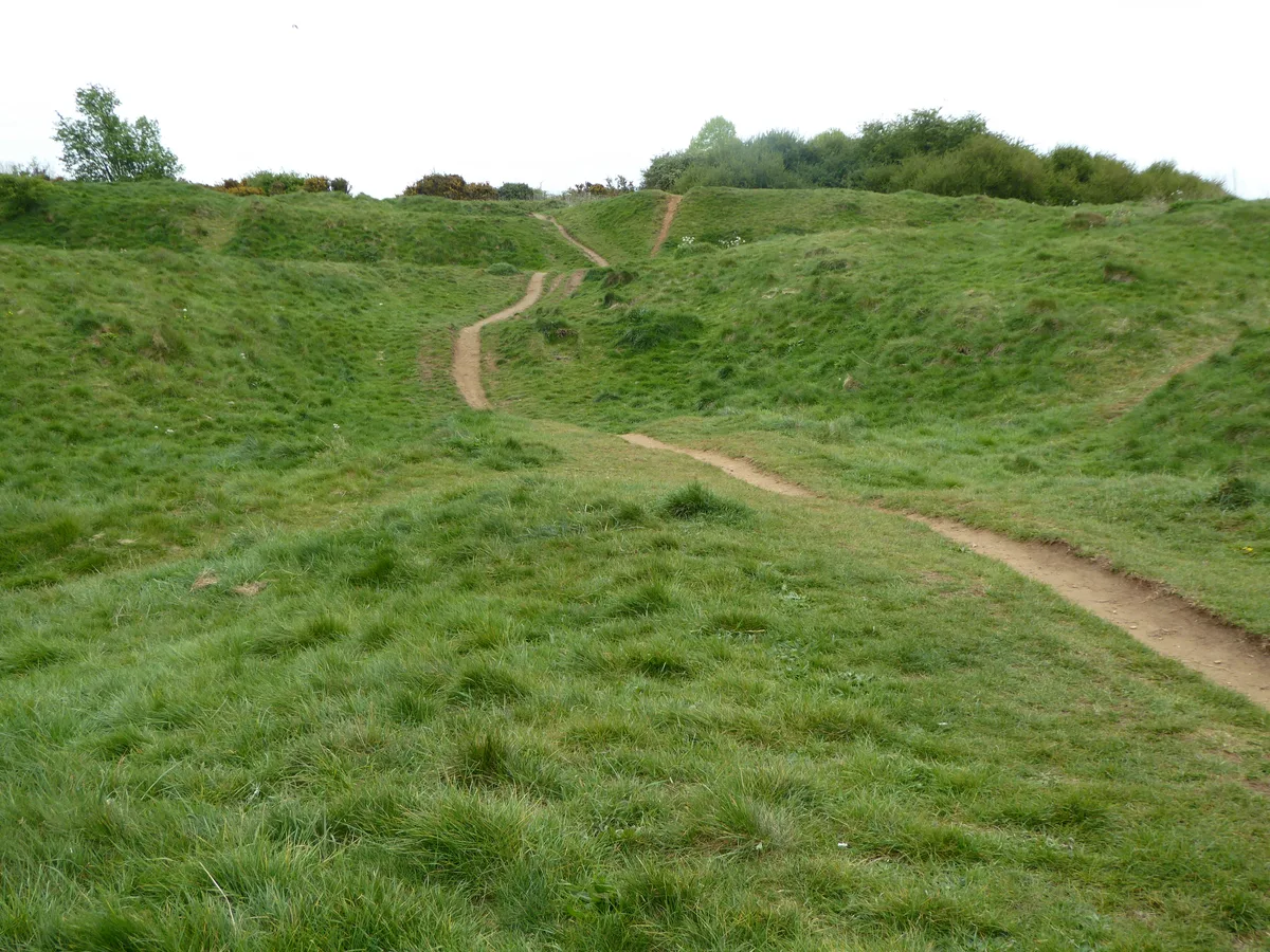
Bradlaugh Fields
Wildlife reserves · 1.2 km

Littlebilling Heights
Mountains & hills · 1.3 km

Gulzare Medina Masjid Islamic Welfare Trust
Historic churches · 1.5 km

Boughton Hill
Mountains & hills · 1.7 km
Kingsthorpe Heights
Mountains & hills · 1.7 km

Old St John's Church
Historic houses · 2.0 km

Old St John's Church
Archaeological sites · 2.0 km

The Spectacle
Memorials & monuments · 2.2 km

Moulton Theatre
Theatres · 2.2 km
Nearby
📷 5Natural landmarks · East Midlands
Thomas Becket Catholic School
Thomas Becket Catholic School — a school heritage in england-west-midlands, United Kingdom.
📷 5Mountains & hills · East Midlands
Weston Heights
Weston Heights — mountain in england west midlands. Elevation: 126 m.
📷 3📷 5Wildlife reserves · East Midlands
Bradlaugh Fields
Bradlaugh Fields — nature reserve in the United Kingdom.
📷 5Mountains & hills · East Midlands
Littlebilling Heights
Littlebilling Heights — mountain in england west midlands. Elevation: 97 m.
📷 5Historic churches · East Midlands
Gulzare Medina Masjid Islamic Welfare Trust
Gulzare Medina Masjid Islamic Welfare Trust — a church in East Midlands, United Kingdom.
Where to eat & stay near Abington Heights
Places to stay
 📷 5
 📷 5
Caravan parks · East Midlands
Billing Aquadrome
Billing Aquadrome — a caravan park in england west midlands.
 📷 5
Caravan parks · East Midlands
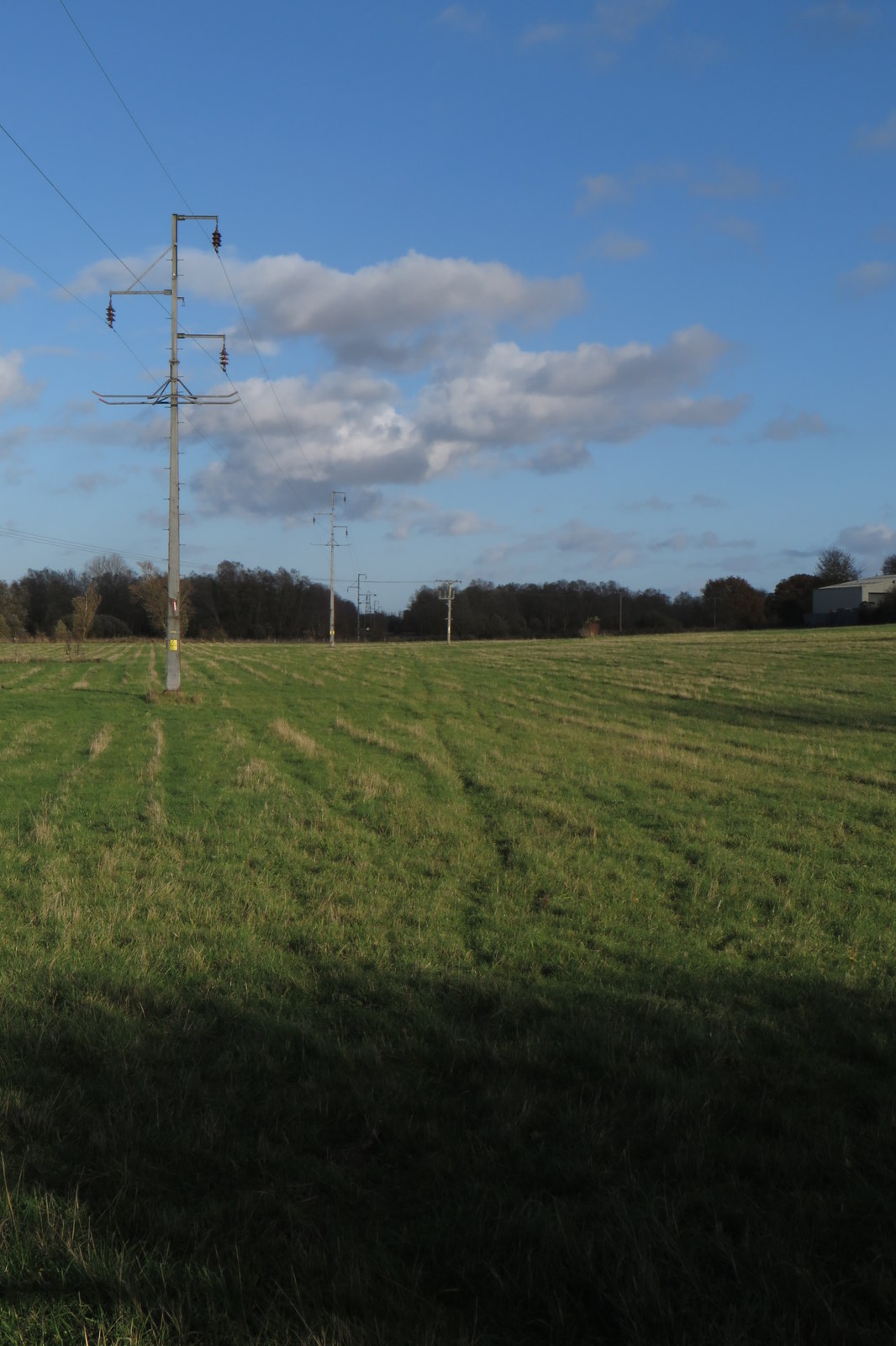
Overstone Lakes Caravan Site
Overstone Lakes Caravan Site — a caravan park in england west midlands.
 📷 5
 📷 5
 📷 5
Hotels · South East England
Hilton Northampton
Hilton Northampton — a hotel in england west midlands. 4-star. Brand: Hilton Hotels & Resorts.
Places to eat & drink
 📷 5
Historic pubs · East Midlands
Queen Adelaide Inn
Queen Adelaide Inn in England West Midlands, United Kingdom.
 📷 5
Historic pubs · East Midlands
The Windmill Inn
The Windmill Inn in England West Midlands, United Kingdom.
 📷 5
 📷 7
Restaurants · East Midlands
PizzaExpress
PizzaExpress — a restaurant in england west midlands. Cuisine: pizza. Brand: PizzaExpress.
 📷 5
Cafés · East Midlands
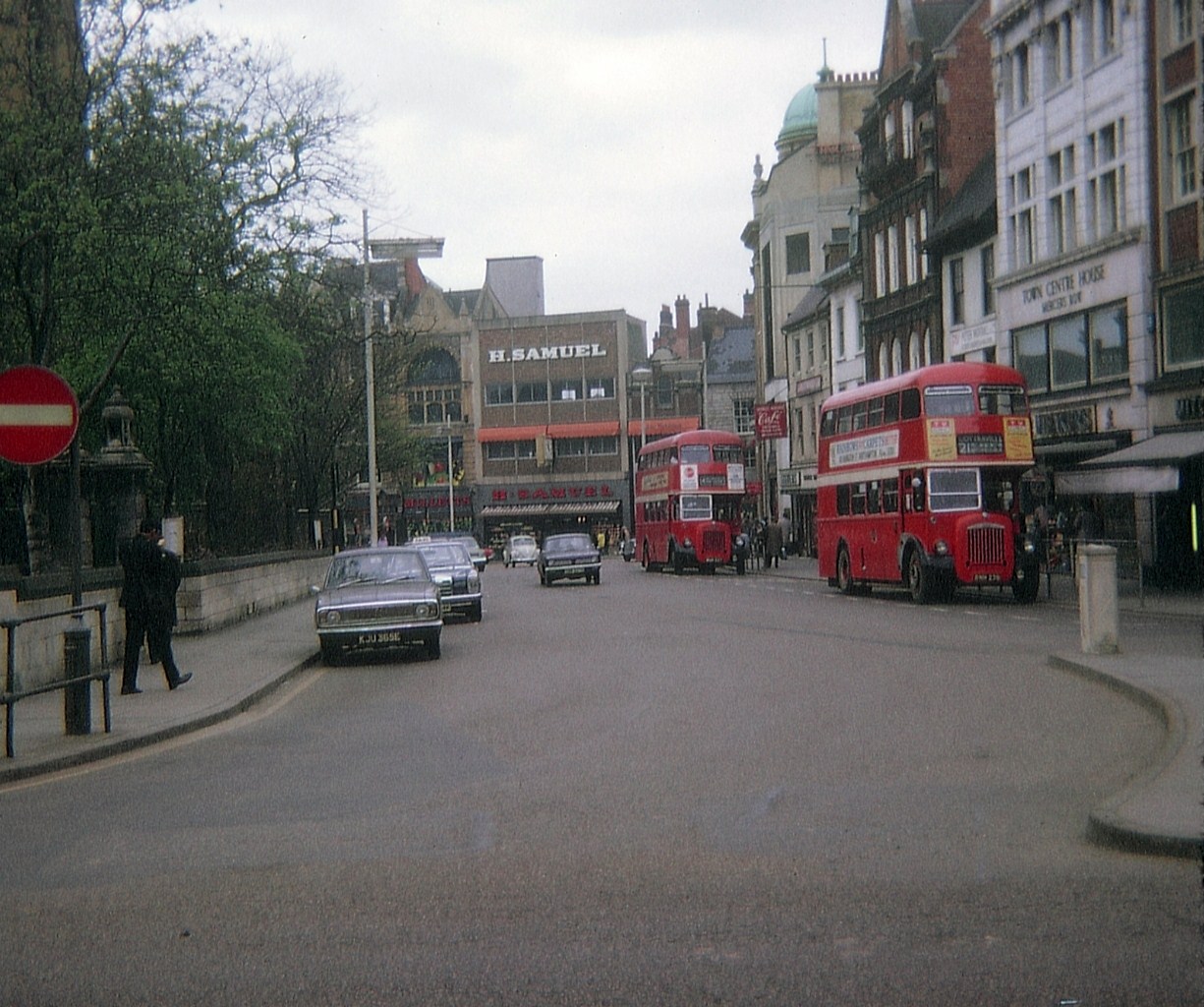
Praca Cafe Portugues
Praca Cafe Portugues — a café in england west midlands.
 📷 5
More mountains in this region
 📷 5
Mountains & hills · East Midlands
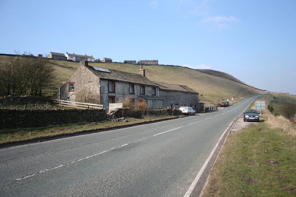
Errwood Hall
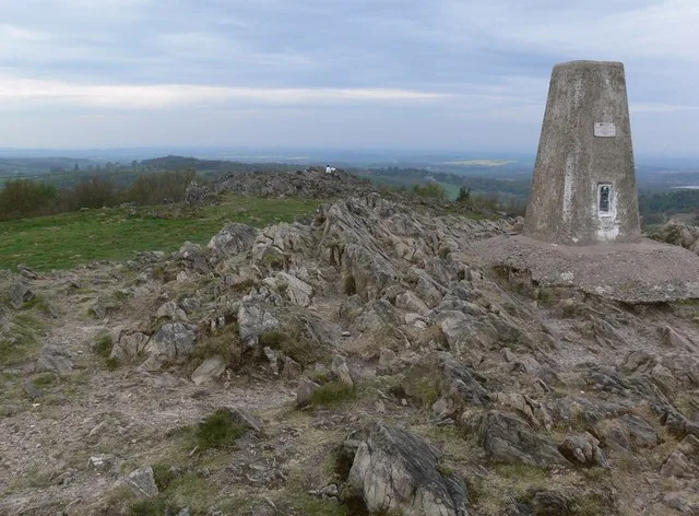
The ruin of Errwood Hall is a popular tourist destination in the scenic Upper Goyt Valley within the Peak District of England.
 📷 3
 📷 5
 📷 3
Mountains & hills · East Midlands
Black Edge - Summit
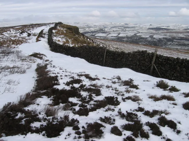
Black Edge - Summit — Named summit at 506.7 m.
Frequently asked questions
- Where is Abington Heights?
- Abington Heights is in the East Midlands, United Kingdom (postcode NN3 6HT), in the parish of Northampton.
- What is Abington Heights?
- Abington Heights — mountain in england west midlands. Elevation: 123 m.
- How do I get to Abington Heights?
- The nearest railway station is Boughton, about 4.2 km away. The nearest town is Overstone. Drivers can use postcode NN3 6HT.
- How do I get to Abington Heights?
- The nearest railway station is Boughton, about 4.2 km away. Drivers can navigate to postcode NN3 6HT.