
Wildlife reserves · East Midlands
Bradlaugh Fields
In or near Overstone.
Bradlaugh Fields — nature reserve in the United Kingdom.

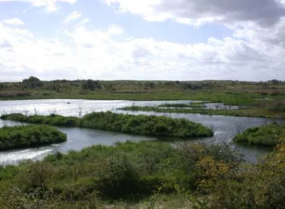
Wikimedia Commons contributors — see linked file page for photographer and licence licence

Plan your visit
- Typical visit
- 2 h–4 h
- Best time of year
- Autumn & winter (migration & wildfowl)
- Nearest railway station
- Boughton · 3.2 km
- Free entry
- Family-friendly
- Dog-friendly
- Limited wheelchair access
Getting there & planning your visit
To visit Bradlaugh Fields, the nearest railway station is Boughton, located 3.2 km away. Entry to the reserve is free, and wheelchair accessibility is limited. The postcode for sat-nav is NN3 6EG.
About
Bradlaugh Fields is a wildlife reserve in the United Kingdom. Managed by Wildlife Trust for Bedfordshire, Cambridgeshire and Northamptonshire. Wikidata describes it as: "nature reserve in the United Kingdom". Coordinates: 52.2680°, -0.8800°.
Photo gallery
From the Wikipedia article
Bradlaugh Fields is a 60-hectare (150-acre) open space in Northampton. The site is a former golf course. In 1987 it was proposed to build housing on the site, but after a campaign by local residents it was acquired by Northampton Borough Council and opened as a wildlife park in 1998. It was named after Charles Bradlaugh, a leading nineteenth century radical and atheist who was MP for Northampton. Three fields with a total area of 17.5 hectares are managed by the Wildlife Trust for Bedfordshire, Cambridgeshire and Northamptonshire as a nature reserve also called Bradlaugh Fields. Hills and Holes is at the southern end and two adjoining meadows, Scrub Field and Quarry Field, are at the northern end. Hills and Holes is an 8.3 hectare Local Nature Reserve (LNR) and Scrub Field is a 5.1-hectare (13-acre) LNR. Bradlaugh Fields nature reserve has ancient hedgerows and unimproved grassland. Birds include blue tits, chiffchaffs, great spotted woodpeckers, sparrowhawks, redwings and fieldfares. Hill and Holes is an ancient disused quarry which has grassed ridges and hollows, some of them steeply sloping. There are a variety of habitats including limestone grassland. Scrub Field has a diverse selection of wild flowers, including Knautia arvensis and knapweed in higher areas, and bird's-foot trefoil and yellow rattle lower down. There is access to Hills and Holes from Kettering Road, and other access points include a footpath from Aintree Road which passes between Scrub Field and Quarry Field.
Excerpt from Wikipedia under CC BY-SA 4.0. See the source article linked in Sources below.
- Coordinates
- 52.2680, -0.8800
- District
- West Northamptonshire
- Parish
- Northampton
- Postcode
- NN3 6EG
- Parliamentary constituency
- Northampton North
- Nearest railway station
- Boughton — 3.2 km
Sources
- wikidata: Q30623108 (CC0)
- wikipedia: Bradlaugh Fields (CC BY-SA 4.0)
- commons: Hills and Holes 1.jpg (CC BY-SA 4.0)
Other places nearby

Kingsthorpe Heights
Mountains & hills · 0.8 km
Boughton Hill
Mountains & hills · 0.8 km

Weston Heights
Mountains & hills · 1.2 km

Abington Heights
Mountains & hills · 1.2 km

Thomas Becket Catholic School
Natural landmarks · 1.3 km

Kingsthorpe
Villages · 1.5 km

Kingsthorpe Cemetery
Cemeteries · 1.5 km

Kingsthorpe War Memorial
Memorials & monuments · 1.6 km

Berserk
Theme parks · 1.7 km

Old St John's Church
Historic houses · 1.7 km

Old St John's Church
Archaeological sites · 1.7 km

The Obelisk
Memorials & monuments · 1.8 km
Nearby
📷 5Mountains & hills · East Midlands
Kingsthorpe Heights
Kingsthorpe Heights — mountain in england west midlands. Elevation: 127 m.
📷 5Mountains & hills · East Midlands
Boughton Hill
Boughton Hill — mountain in england west midlands. Elevation: 129 m.
📷 5Mountains & hills · East Midlands
Weston Heights
Weston Heights — mountain in england west midlands. Elevation: 126 m.
📷 5Mountains & hills · East Midlands
Abington Heights
Abington Heights — mountain in england west midlands. Elevation: 123 m.
📷 5Natural landmarks · East Midlands
Thomas Becket Catholic School
Thomas Becket Catholic School — a school heritage in england-west-midlands, United Kingdom.
📷 5Where to eat & stay near Bradlaugh Fields
Places to stay
 📷 5
📷 5 📷 5
📷 5Caravan parks · East Midlands
Billing Aquadrome
Billing Aquadrome — a caravan park in england west midlands.
 📷 5
📷 5 📷 5
📷 5Caravan parks · East Midlands
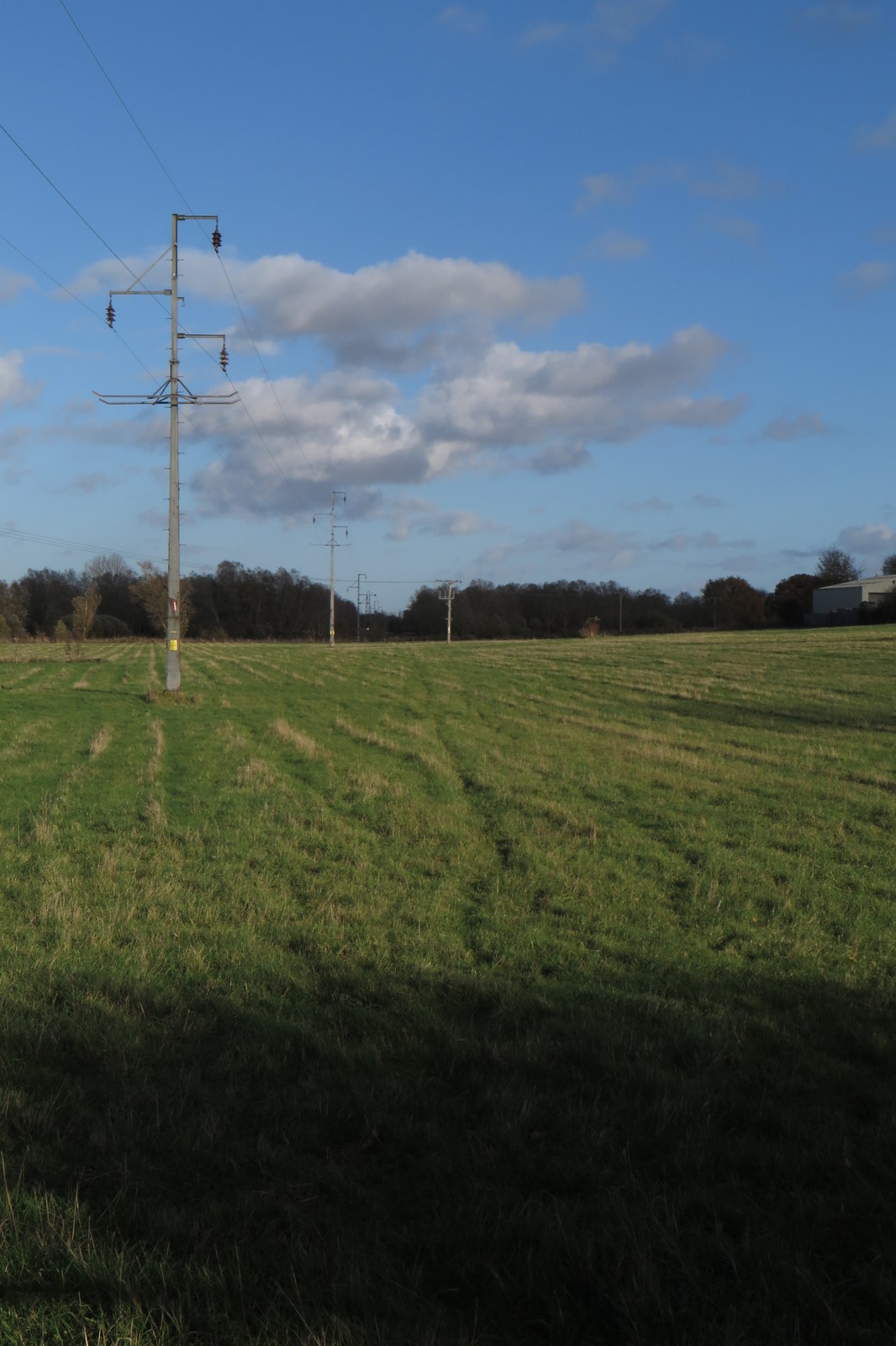
Overstone Lakes Caravan Site
Overstone Lakes Caravan Site — a caravan park in england west midlands.
 📷 5
📷 5 📷 5
📷 5Hotels · South East England
Hilton Northampton
Hilton Northampton — a hotel in england west midlands. 4-star. Brand: Hilton Hotels & Resorts.
Places to eat & drink
 📷 5
📷 5Historic pubs · East Midlands
Queen Adelaide Inn
Queen Adelaide Inn in England West Midlands, United Kingdom.
 📷 5
📷 5Historic pubs · East Midlands
The Windmill Inn
The Windmill Inn in England West Midlands, United Kingdom.
 📷 5
📷 5 📷 5
📷 5Historic pubs · East Midlands
The Wheatsheaf Inn
The Wheatsheaf Inn in England West Midlands, United Kingdom.
 📷 5
📷 5Cafés · East Midlands
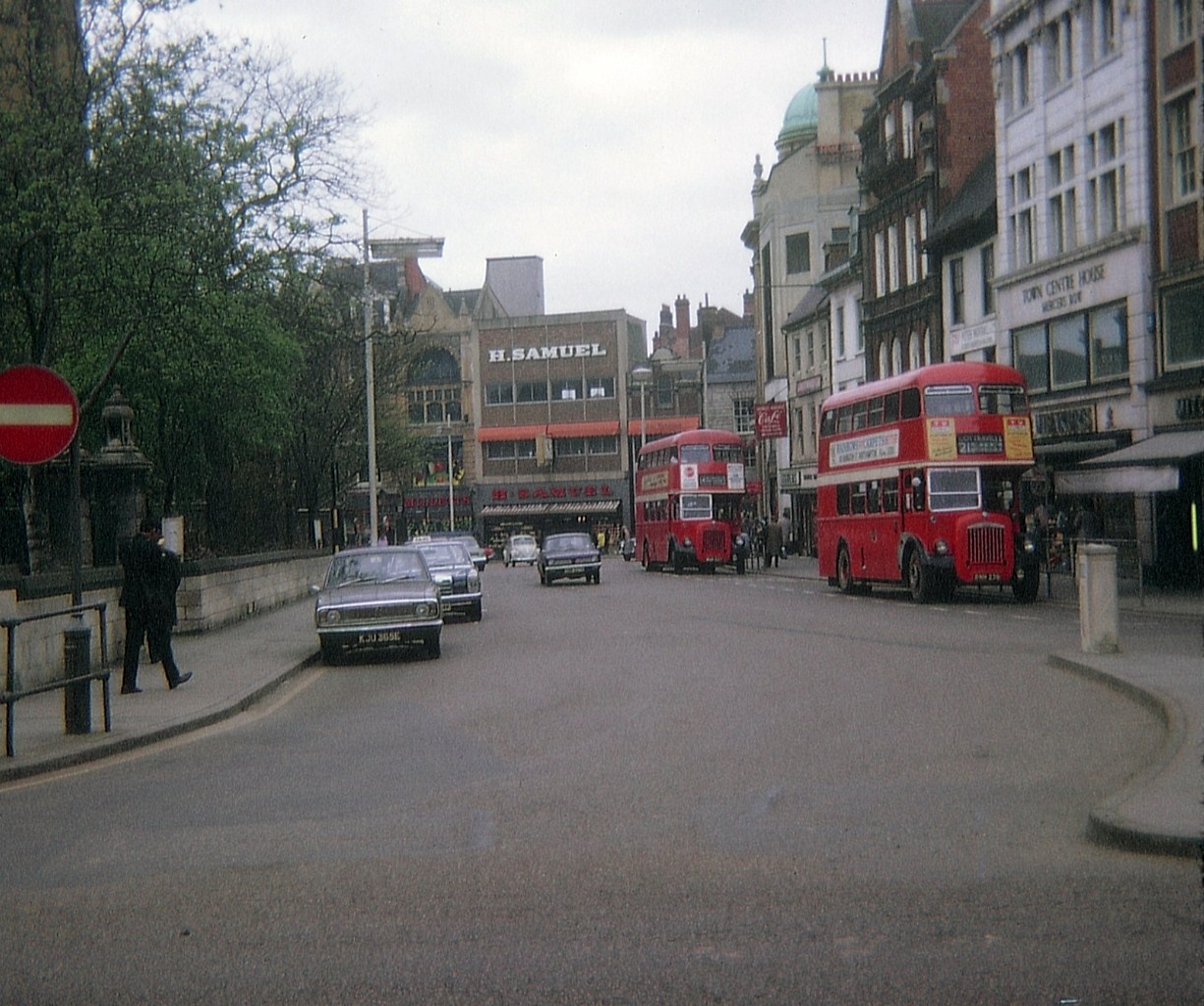
Praca Cafe Portugues
Praca Cafe Portugues — a café in england west midlands.
 📷 5
📷 5More places run by Wildlife Trust for Bedfordshire, Cambridgeshire and Northamptonshire
 📷 5
📷 5Wildlife reserves · South East England
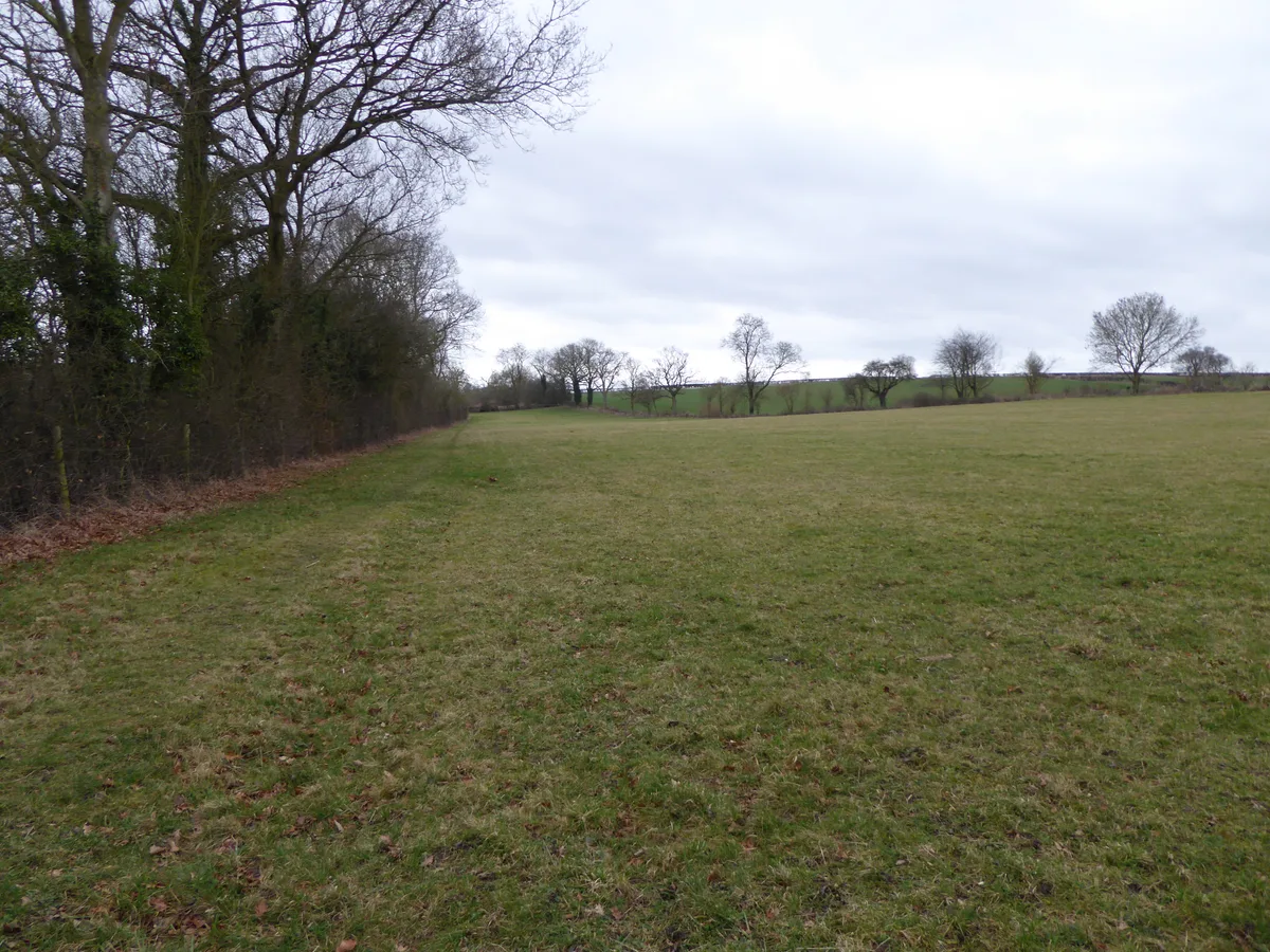
Boddington Meadow
Boddington Meadow — nature reserve in the United Kingdom.
 📷 3
📷 3Wildlife reserves · South East England
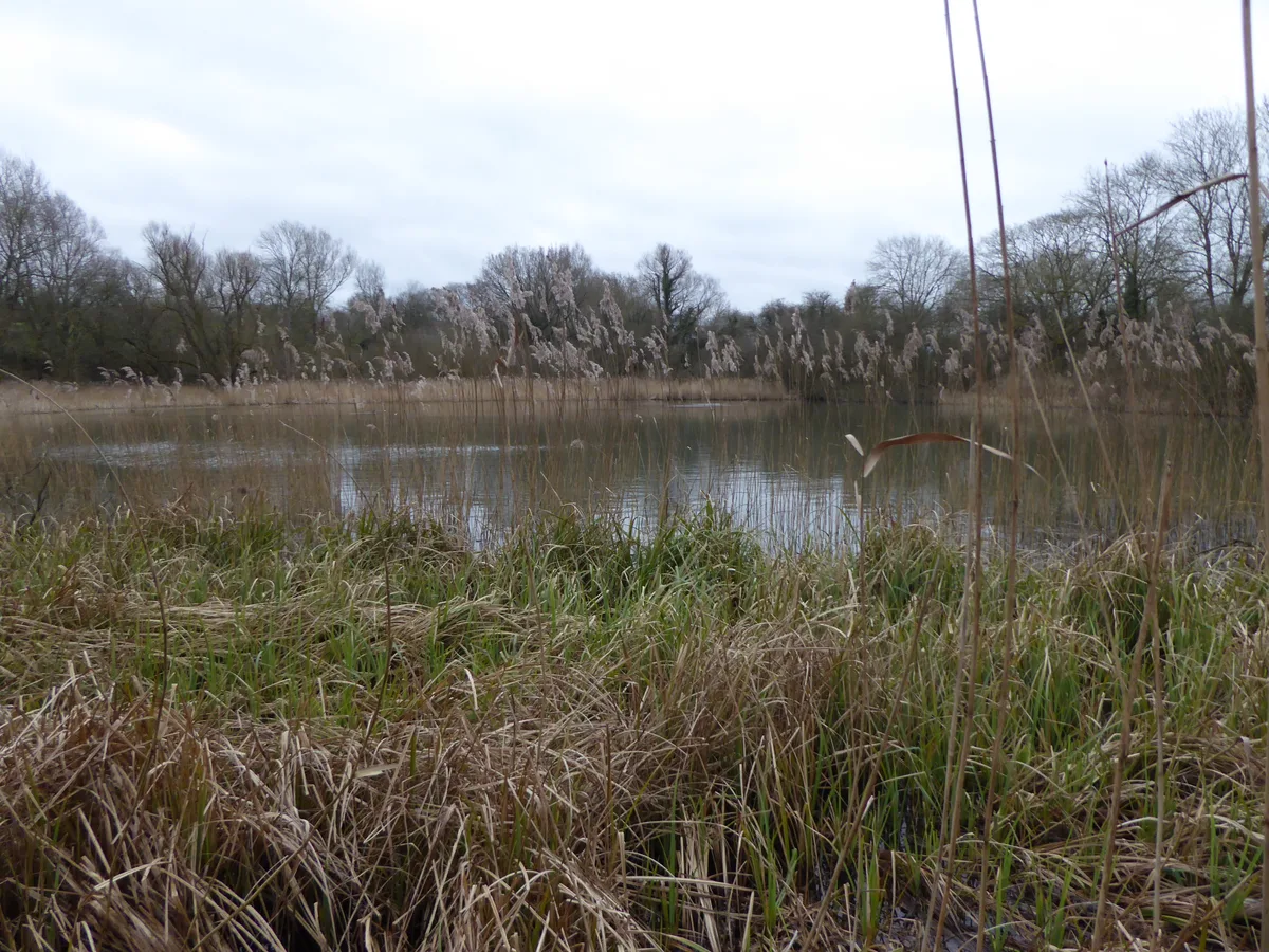
Byfield Pool
Byfield Pool — nature reserve in the United Kingdom.
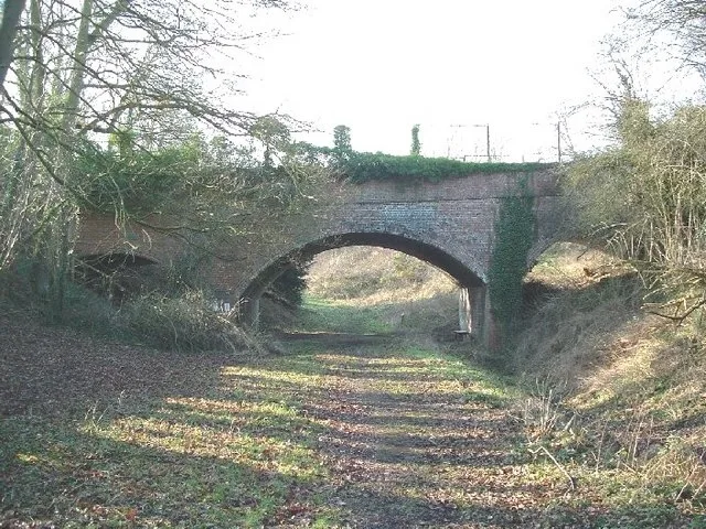 📷 5
📷 5Wildlife reserves · South East England
Farthinghoe Nature Reserve
Farthinghoe Nature Reserve — nature reserve in the United Kingdom.
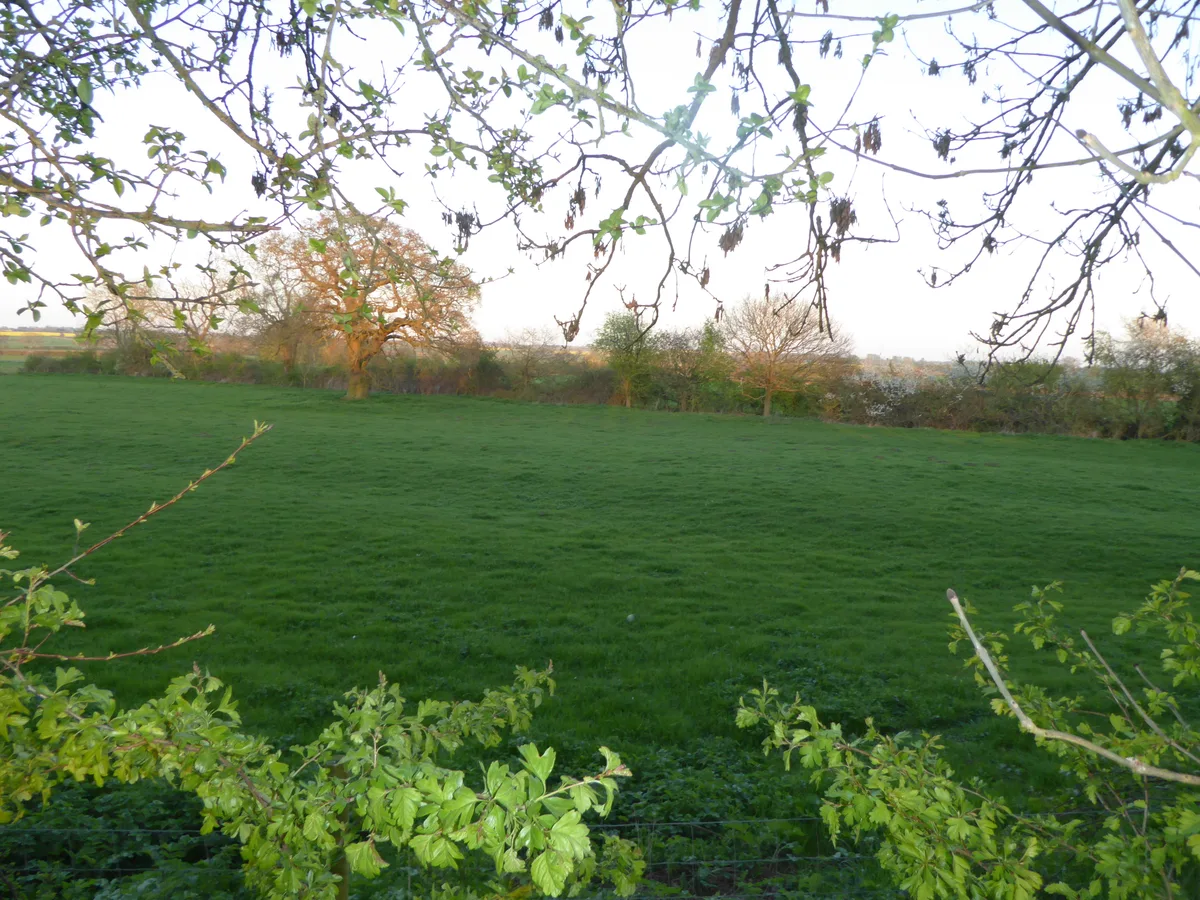 📷 3
📷 3Wildlife reserves · South East England
Grafton Regis Meadow
Grafton Regis Meadow — nature reserve in the United Kingdom.
More places in this region
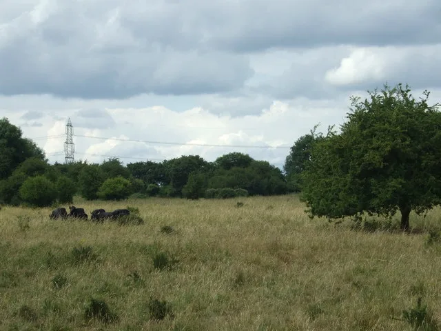 Flagship📷 10
Wildlife reserves · East Midlands
Castor Hanglands National Nature Reserve
Castor Hanglands National Nature Reserve — nature reserve in Cambridgeshire.
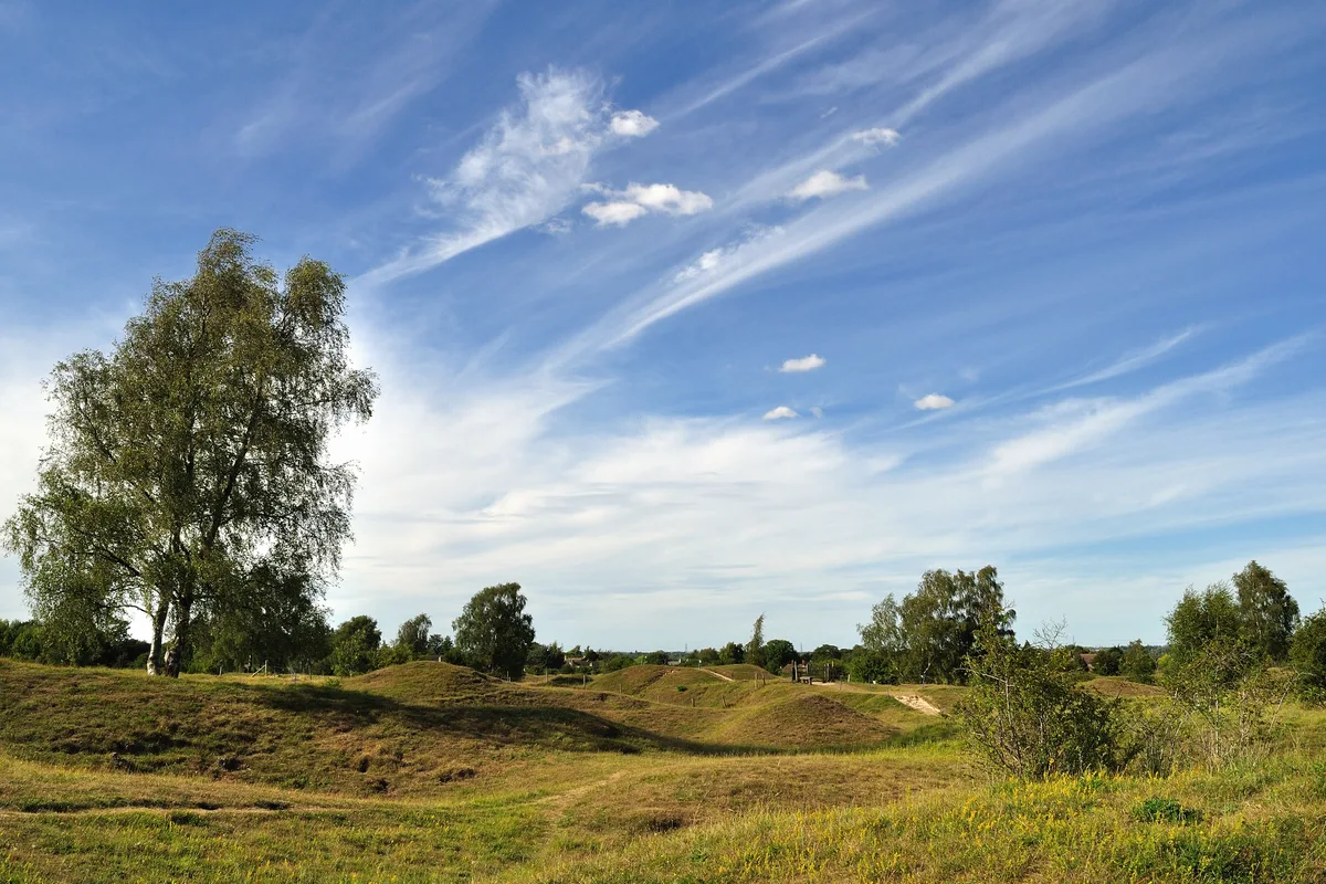 📷 5
📷 5Wildlife reserves · East Midlands
Barnack Hills & Holes National Nature Reserve
Barnack Hills & Holes National Nature Reserve is a wildlife reserve in the United Kingdom.
 📷 5
📷 5Wildlife reserves · East Midlands
Deeping Lakes Nature Reserve
Deeping Lakes Nature Reserve — Nature reserve in Lincolnshire.
 📷 5
📷 5Wildlife reserves · East Midlands
Dogsthorpe Star Pit
Dogsthorpe Star Pit — nature reserve in the United Kingdom.
Frequently asked questions
- Where is Bradlaugh Fields?
- Bradlaugh Fields is in the East Midlands, United Kingdom (postcode NN3 6EG), in the parish of Northampton.
- What is Bradlaugh Fields?
- Bradlaugh Fields — nature reserve in the United Kingdom.
- How do I get to Bradlaugh Fields?
- The nearest railway station is Boughton, about 3.2 km away. The nearest town is Overstone. Drivers can use postcode NN3 6EG.
- Who runs Bradlaugh Fields?
- Bradlaugh Fields is operated by Wildlife Trust for Bedfordshire, Cambridgeshire and Northamptonshire.
- Is Bradlaugh Fields free to visit?
- Yes, Bradlaugh Fields is free to enter.
- How do I get to Bradlaugh Fields?
- The nearest railway station is Boughton, about 3.2 km away. Drivers can navigate to postcode NN3 6EG.
- Are dogs allowed at Bradlaugh Fields?
- Most wildlife reserves allow dogs on lead only, with restrictions during ground-nesting bird season (March-July). Check signage at the reserve.