
Mountains & hills · East Midlands
Windgate Edge
In or near Old Glossop.
Windgate Edge — a mountain in england east midlands.
Plan your visit
- Typical visit
- 3 h–8 h
- Best time of year
- Late spring – early autumn (May–Oct)
- Nearest railway station
- Hadfield · 4.7 km
- Dog-friendly
About
Windgate Edge is a mountain located in england east midlands, United Kingdom. Sourced from OpenStreetMap (© OpenStreetMap contributors, ODbL licence); see local listings or the operator's own site for current opening hours, admission prices and visitor information.
Protected designations
- Site of Special Scientific Interest: Dark Peak SSSI
Designations sourced from Natural England open data under OGL v3.
- Coordinates
- 53.5020, -1.9476
- Nearest railway station
- Hadfield — 4.7 km
Sources
- osm: n948899195 (ODbL)
Other places nearby
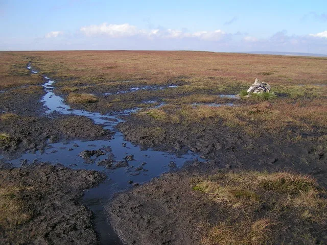
Featherbed Moss
Mountains & hills · 1.2 km
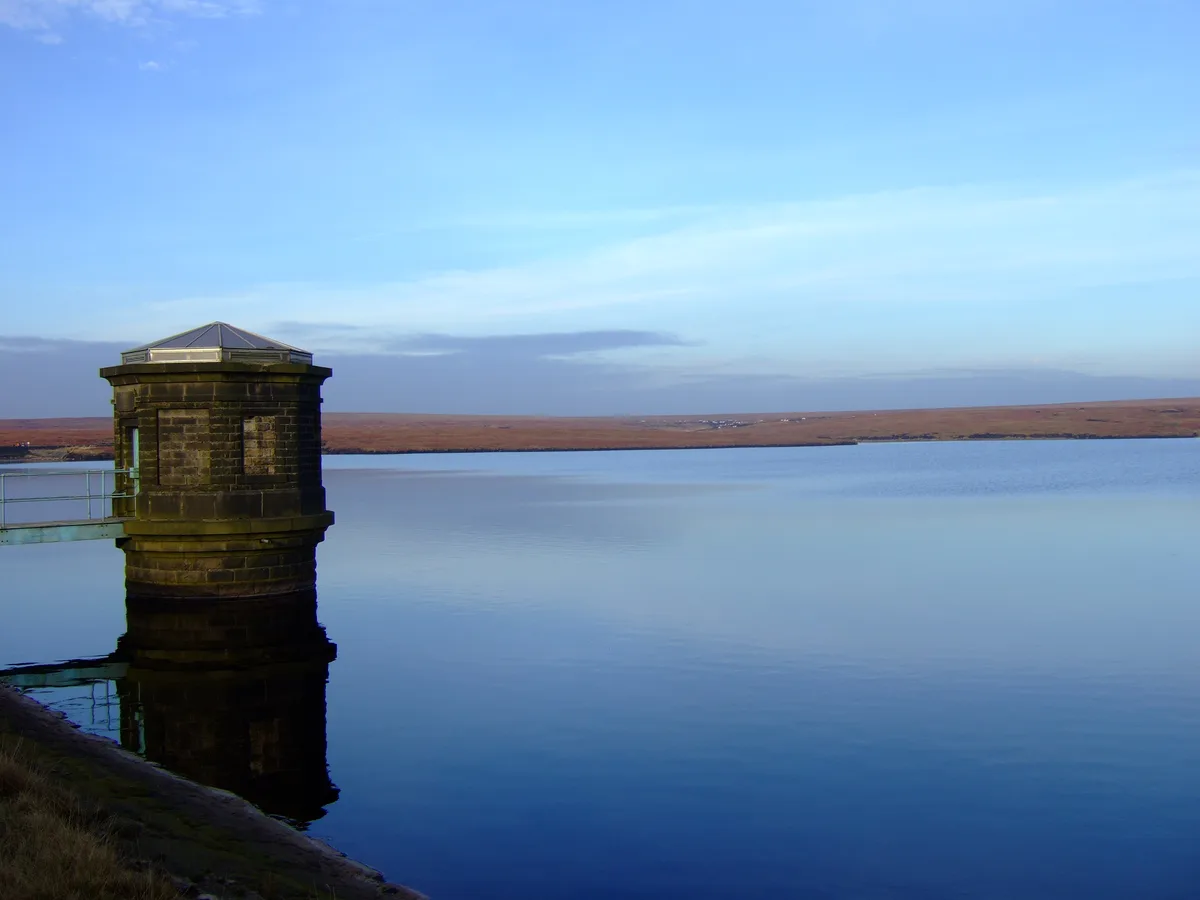
Chew Reservoir
Reservoirs & lochs · 1.4 km

Laddow Rocks
Climbing & bouldering crags · 2.3 km
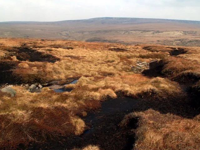
Black Chew Head
Natural landmarks · 2.3 km
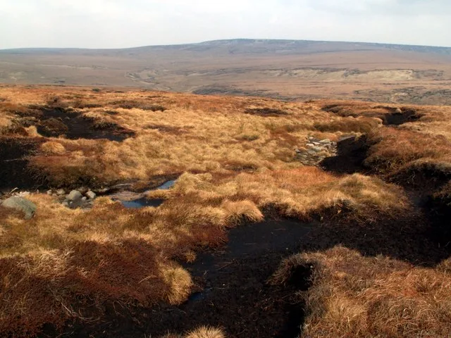
Black Chew Head
Mountains & hills · 2.5 km
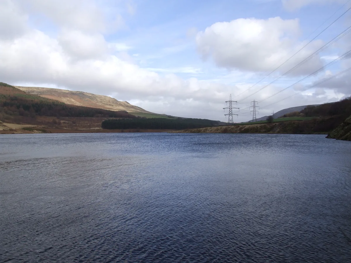
Rhodeswood Reservoir
Reservoirs & lochs · 2.6 km
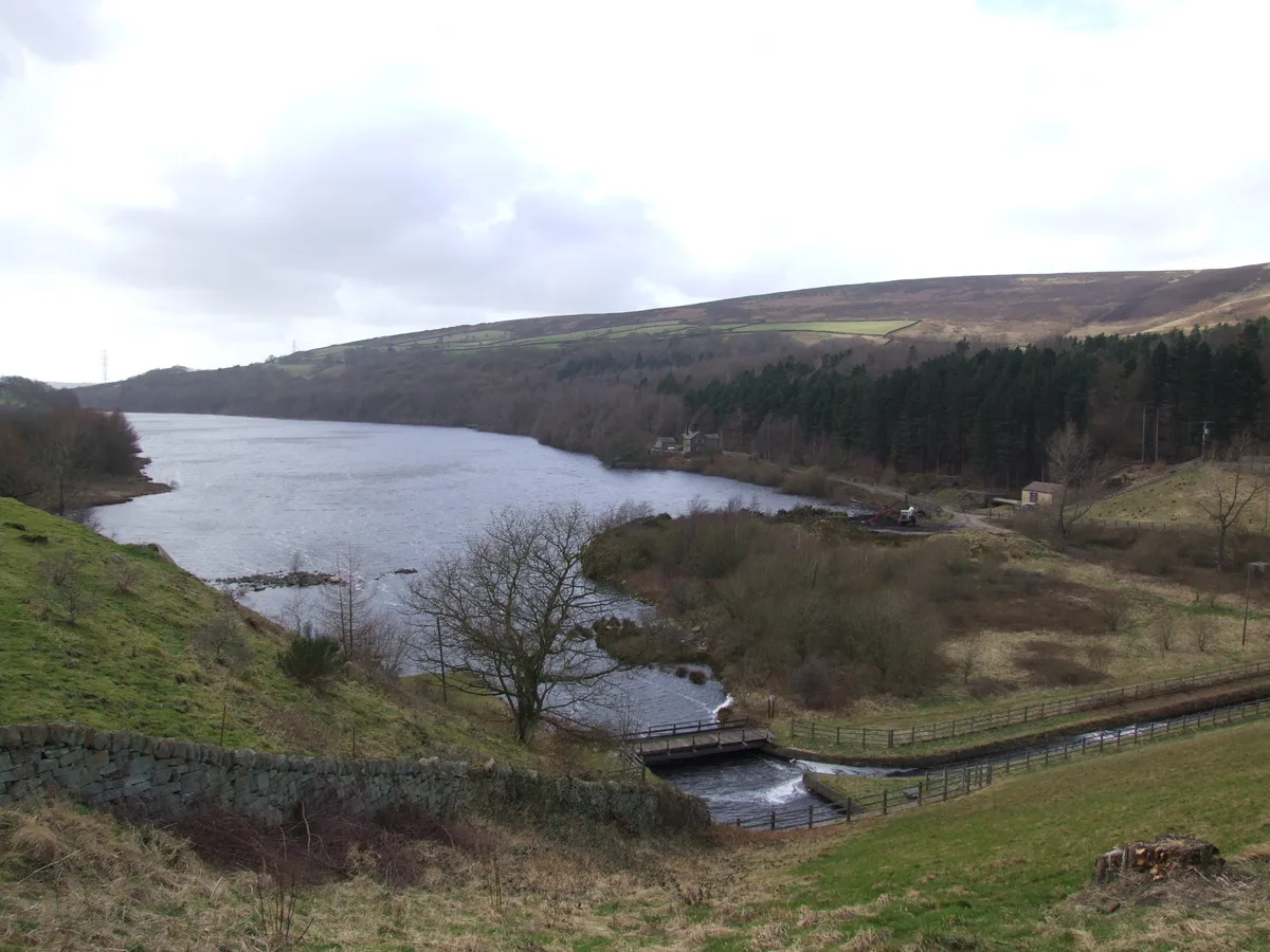
Valehouse Reservoir
Reservoirs & lochs · 2.9 km

Ashway Moss
Mountains & hills · 3.3 km

Ebenezer Chapel
Chapels · 3.3 km

Bottoms Quarry
Climbing & bouldering crags · 3.4 km

Crossgate Farm Campsite
Campsites · 3.5 km

Crowden Outdoor Education Centre
Hostels · 3.5 km
Nearby
📷 3📷 5Reservoirs & lochs · East Midlands
Chew Reservoir
Chew Reservoir — reservoir in Greater Manchester, England, UK.
📷 5Climbing & bouldering crags · East Midlands
Laddow Rocks
Laddow Rocks — a climbing crag in england yorkshire.
📷 3📷 3📷 3Reservoirs & lochs · East Midlands
Rhodeswood Reservoir
Rhodeswood Reservoir — reservoir in Derbyshire, England, UK.
Where to eat & stay near Windgate Edge
Places to stay
📷 5Campsites · East Midlands
Crossgate Farm Campsite
Crossgate Farm Campsite — a campsite in england east midlands.
📷 5Hostels · East Midlands
Crowden Outdoor Education Centre
Crowden Outdoor Education Centre — a hostel in england east midlands.
 📷 5
 📷 5
Campsites · East Midlands
Crowden Campsite
Crowden Campsite — a campsite in england east midlands.
 📷 5
Caravan parks · East Midlands
Windy Harbour Hotel Caravan and Camping Site
Windy Harbour Hotel Caravan and Camping Site — a caravan park in england east midlands.
 📷 5
Campsites · North West England
Well-i-Hole Farm Caravan and Camping
Well-i-Hole Farm Caravan and Camping — a campsite in england north west.
Places to eat & drink
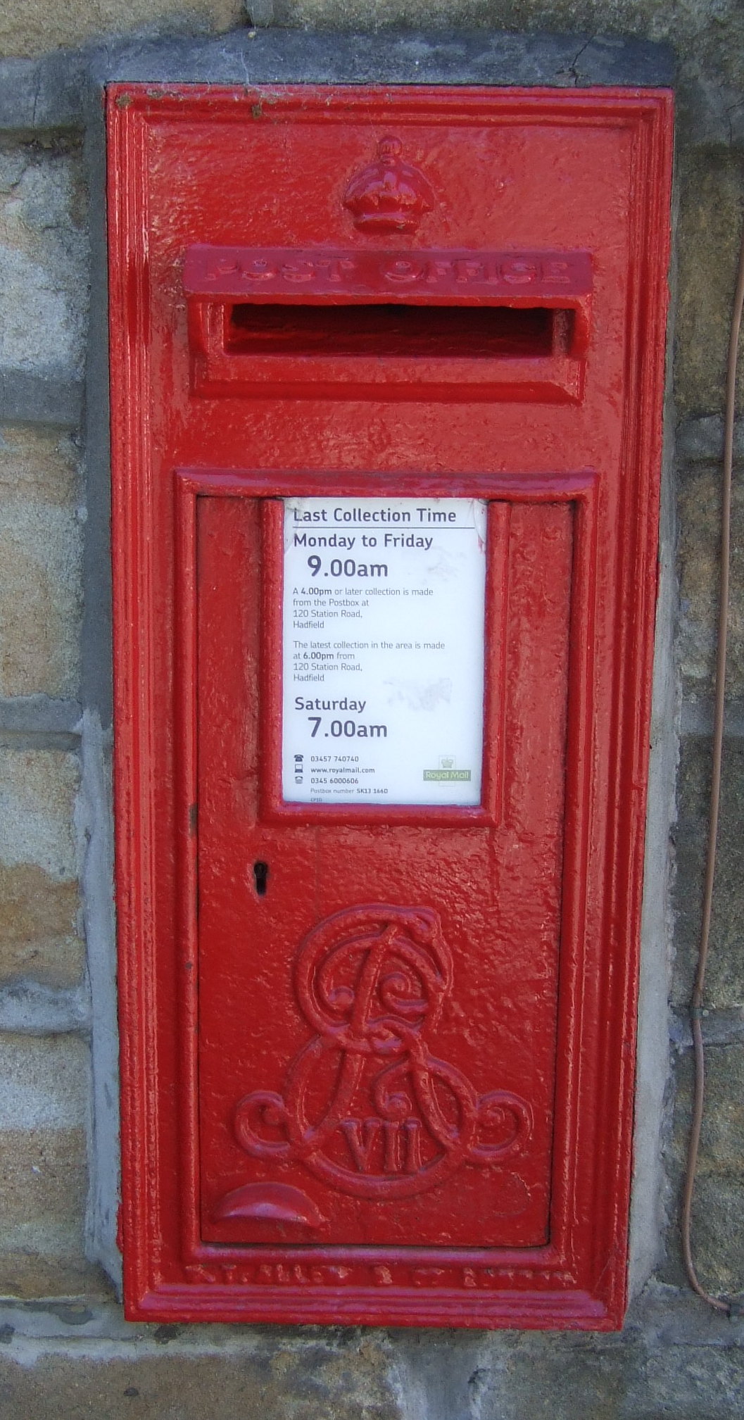 📷 7
Historic pubs · East Midlands
The Spinners Arms Public House
The Spinners Arms Public House in England Yorkshire, United Kingdom.
 📷 5
Historic pubs · East Midlands
Bulls Head Public House
Bulls Head Public House in England Yorkshire, United Kingdom.
 📷 5
Historic pubs · East Midlands
Norfolk Arms Public House
Norfolk Arms Public House in England Yorkshire, United Kingdom.
 📷 5
Historic pubs · East Midlands
The Oakwood and Oakwood Restaurant
The Oakwood and Oakwood Restaurant in England Yorkshire, United Kingdom.
 📷 5
Historic pubs · East Midlands
Former Dollars Public House
Former Dollars Public House in England Yorkshire, United Kingdom.
 📷 5
Historic pubs · East Midlands
The Crown Inn, Glossop
The Crown Inn, Glossop in England Yorkshire, United Kingdom.
More mountains in this region
 📷 5
Mountains & hills · East Midlands
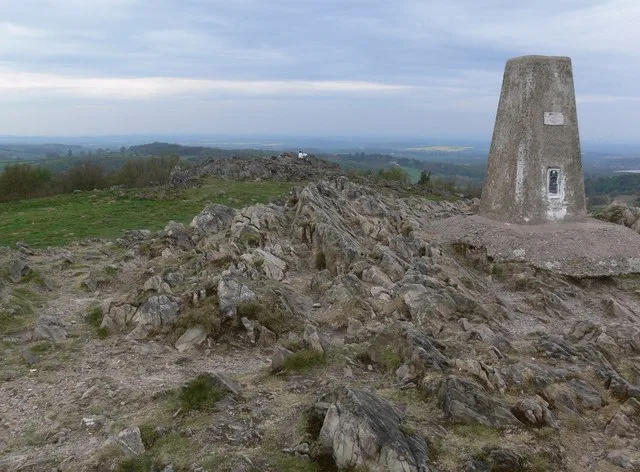
Errwood Hall
The ruin of Errwood Hall is a popular tourist destination in the scenic Upper Goyt Valley within the Peak District of England.
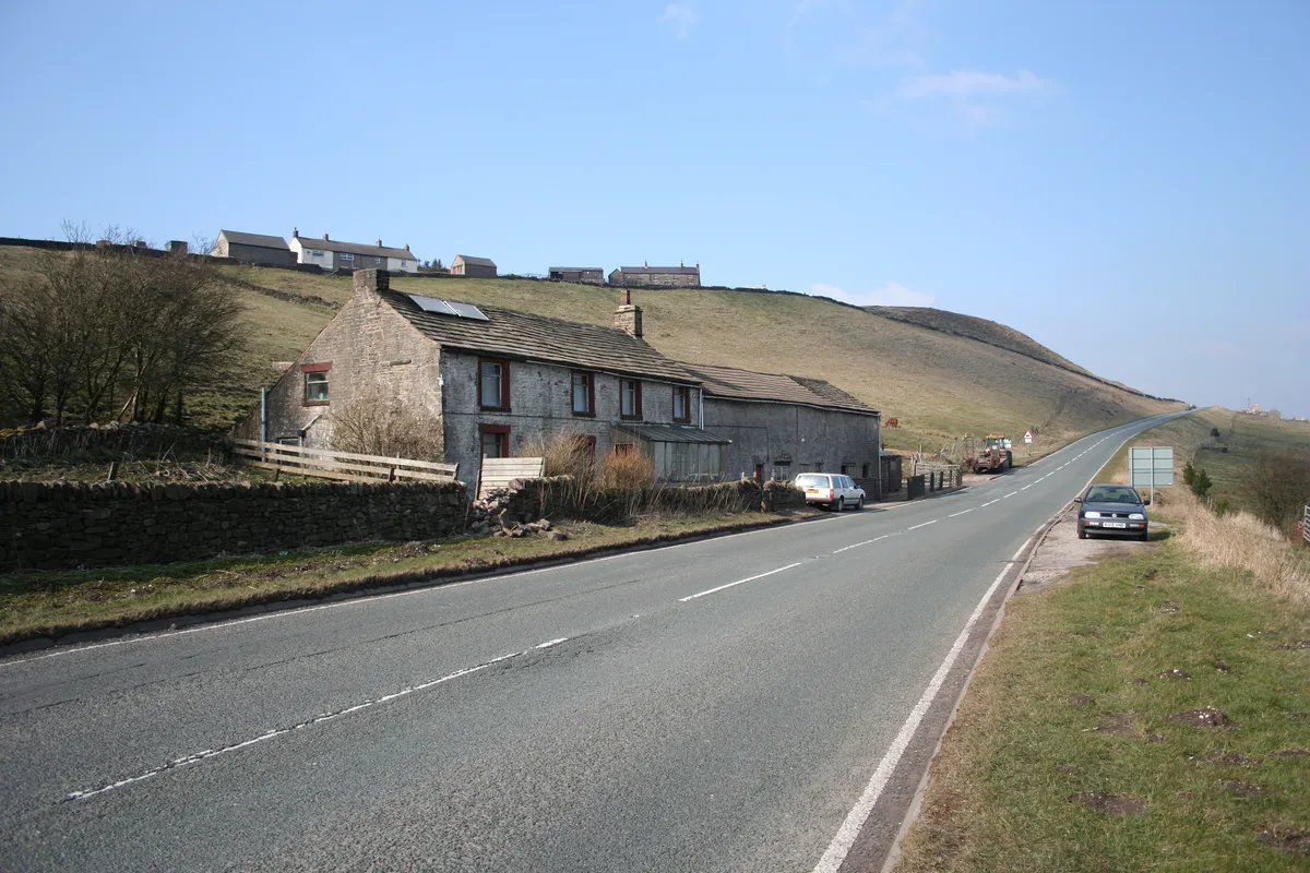 📷 3
 📷 5
 📷 3
Mountains & hills · East Midlands
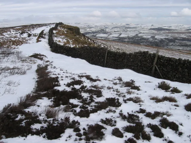
Black Edge - Summit
Black Edge - Summit — Named summit at 506.7 m.
Frequently asked questions
- Where is Windgate Edge?
- Windgate Edge is in the East Midlands, United Kingdom.
- What is Windgate Edge?
- Windgate Edge — a mountain in england east midlands.
- How do I get to Windgate Edge?
- The nearest railway station is Hadfield, about 4.7 km away. The nearest town is Old Glossop. Its coordinates are 53.5020°, -1.9476°.
- Is Windgate Edge a protected site?
- Yes — Windgate Edge is part of the Dark Peak SSSI Site of Special Scientific Interest.
- How do I get to Windgate Edge?
- The nearest railway station is Hadfield, about 4.7 km away.