
Gardens · East Midlands
Whitefriars, 333 High Street, Lincoln
In or near Lincoln.
Whitefriars, 333 High Street, Lincoln — a garden in england-east-midlands, United Kingdom.

Richard Croft — CC BY-SA 2.0 via Wikimedia Commons licence

Plan your visit
- Typical visit
- 1 h–2.5 h
- Best time of year
- Spring & summer (Apr–Sep)
- Nearest railway station
- Lincoln · 0.1 km
- Dog-friendly
About
Whitefriars, 333 High Street, Lincoln is a garden of interest in england-east-midlands, United Kingdom — drawn from open-data sources for visitor reference. See the linked Wikipedia article for the full description.
Photo gallery
From the Wikipedia article
Whitefriar or Akrill's Court is a 16th century timber-framed building in Lincoln. It now has a late 20th century shop front, but the timber-framed building survives with the southern front facing the narrow Akrill’s passage, on the east side of the High Street and just to the south of the railway crossing.
Excerpt from Wikipedia under CC BY-SA 4.0. See the source article linked in Sources below.
Background
History
Surprisingly little is known about this building. The name Akrill refers to a baker who owned the property in the early part of the 19th century. Padley, who made scaled drawings of the buildings in 1851, said that traditionally it was thought to be part of the White or Carmelite Friary in Lincoln. Adjacent to it at the east end was a small stone building with a Norman arch. As the Carmelite friary has now been shown by archaeological excavation to have been under St Mark's Station, on the opposite side of the High Street, it is unlikely that the building was associated with the friary. It has been alternatively suggested that the Whitefriars was the half-timbered vicarage of St Mary le…
Description
Originally a house dating from the 15th century. The facade faces to the south in a narrow alley-way and the building is at a right angle to the High Street. It has a close studded timber frame of four bays with rendered nogging and a plain tile roof. The first floor is jettied and is coved (curved) outwards with eaves above. South side has moulded uprights. Above, two square wooden oriels on moulded brackets and a 4-light window with wooden mullions and gothic tracery The interior has stud walls with jowled bay posts, two of them with arch braces, and arch braces to the spine beams. Principal rafter roof with collars and spine beam. Two stud walls without nogging.
Sourced from Wikipedia under CC BY-SA 4.0.
- Coordinates
- 53.2262, -0.5418
- County
- Lincolnshire
- District
- Lincoln
- Parish
- Lincoln, unparished area
- Postcode
- LN5 7EW
- Parliamentary constituency
- Lincoln
- Nearest railway station
- Lincoln — 0.1 km
Sources
- wikidata: Q22087166 (CC0)
- wikipedia: Whitefriars, 333 High Street, Lincoln (CC BY-SA 4.0)
Other places nearby
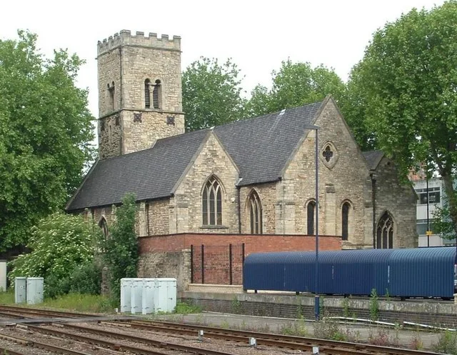
St. Mary le Wigford’s Church, Lincoln
Historic churches · 0.1 km

Lincoln Central railway station
Heritage railway stations · 0.1 km

George Boole
Public art & sculpture · 0.2 km

Everyman
Cinemas · 0.2 km

Market Building
Gardens · 0.2 km

War Memorial 5 Metres East of Church of St Benedict
Memorials & monuments · 0.2 km

Ritz
Theatres · 0.2 km

High Bridge
Historic bridges · 0.3 km

St. Andrew's Church, Lincoln
Historic churches · 0.3 km

Brayford Island
Islands · 0.3 km

Empowerment (sculpture)
Public art & sculpture · 0.3 km
Empowerment
Public art & sculpture · 0.3 km
Nearby
📷 5Historic churches · East Midlands
St. Mary le Wigford’s Church, Lincoln
St. Mary le Wigford’s Church, Lincoln — Grade I listed church in Lincoln, Lincolnshire, England, UK.
📷 4Heritage railway stations · East Midlands
Lincoln Central railway station
Lincoln Central railway station — a Grade II*-listed railway station in england-east-midlands, United Kingdom.
📷 4Public art & sculpture · East Midlands
George Boole
George Boole — a public art in england-east-midlands, United Kingdom.
📷 5📷 4Gardens · East Midlands
Market Building
Market Building — a garden in england-east-midlands, United Kingdom.
📷 3Memorials & monuments · East Midlands
War Memorial 5 Metres East of Church of St Benedict
War Memorial 5 Metres East of Church of St Benedict — Grade II listed building-listed memorial in england-east-midlands, United Kingdom.
Where to eat & stay near Whitefriars, 333 High Street, Lincoln
Places to stay
 📷 5
📷 5 📷 7
📷 7Hotels · East Midlands
DoubleTree by Hilton Lincoln
DoubleTree by Hilton Lincoln — a hotel in england east midlands. 4-star. Brand: DoubleTree.
 📷 5
📷 5 📷 5
📷 5Hotels · East Midlands
The Old Palace Lodge
The Old Palace Lodge — a hotel in england east midlands.
 📷 5
📷 5B&Bs · East Midlands
Cathedral View Guest House
Cathedral View Guest House — a bed-and-breakfast in england east midlands.
 📷 5
📷 5Places to eat & drink
 📷 5
📷 5Cafés · East Midlands
Little Lincoln Cafe
Little Lincoln Cafe — a café in england east midlands.
 📷 5
📷 5Cafés · East Midlands
Madame Waffle
Madame Waffle — a café in england east midlands.
 📷 5
📷 5Historic pubs · East Midlands
268, High Street
268, High Street in England East Midlands, United Kingdom.
 📷 5
📷 5Restaurants · East Midlands
Cafe Zoot
Cafe Zoot — a restaurant in england east midlands.
 📷 5📷 7
More gardens in this region
 📷 5
📷 5 📷 5
📷 5Gardens · East Midlands
Elgood's Brewery Visitor Centre and Gardens
Elgood's Brewery Visitor Centre and Gardens — a garden in england-london, United Kingdom.
 📷 5
📷 5Gardens · East Midlands
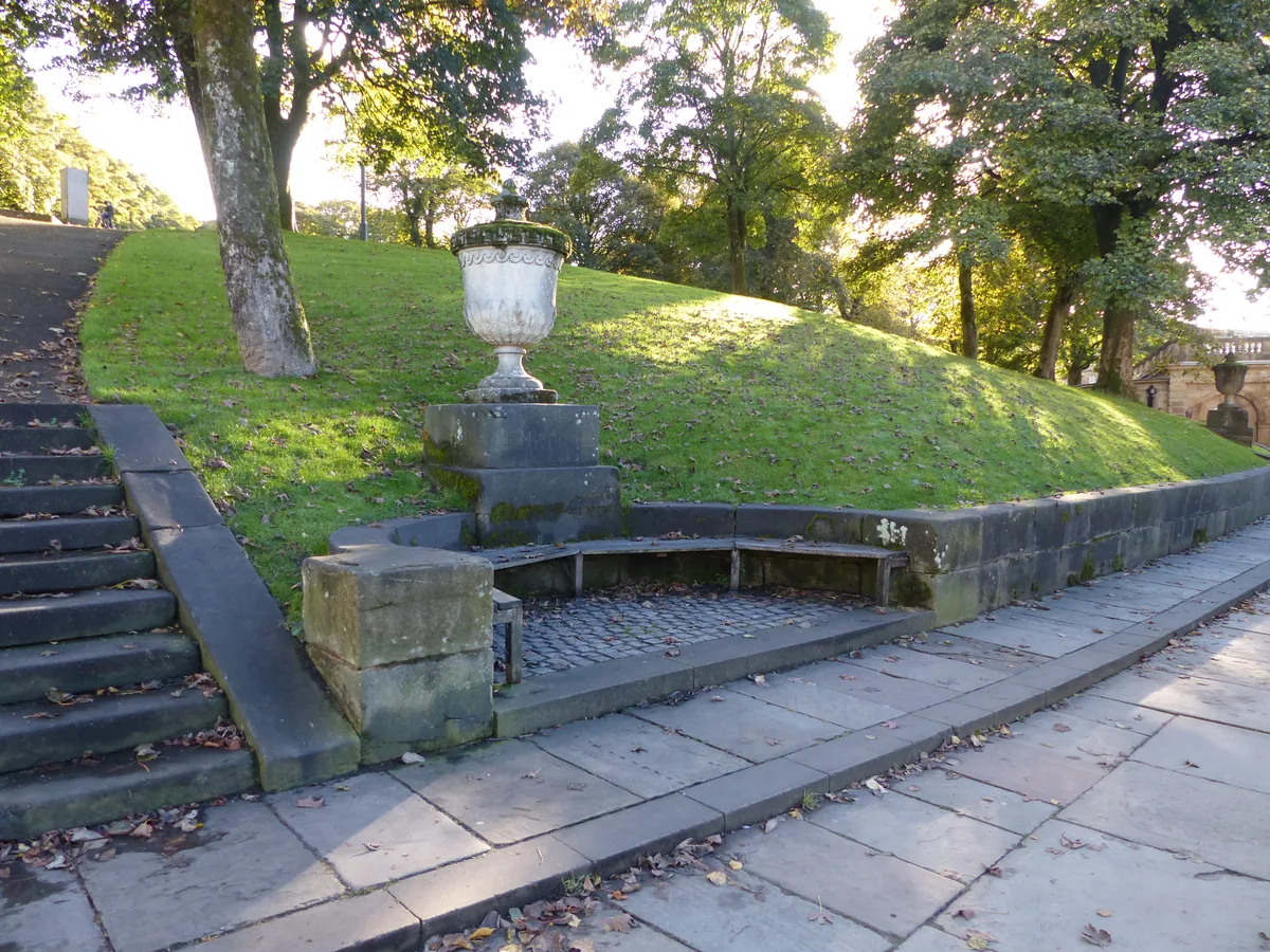
Buxton Pavilion Gardens
Buxton Pavilion Gardens is a Victorian landscaped public park in the spa town of Buxton in Derbyshire. The River Wye flows through the gardens, which are a Grade II* listed public park of Special Hist
 📷 3
📷 3Frequently asked questions
- Where is Whitefriars, 333 High Street, Lincoln?
- Whitefriars, 333 High Street, Lincoln is in Lincolnshire, the East Midlands, United Kingdom (postcode LN5 7EW), in the parish of Lincoln, unparished area.
- What is Whitefriars, 333 High Street, Lincoln?
- Whitefriars, 333 High Street, Lincoln — a garden in england-east-midlands, United Kingdom.
- How do I get to Whitefriars, 333 High Street, Lincoln?
- The nearest railway station is Lincoln, about 0.1 km away. Drivers can use postcode LN5 7EW.
- Who owns Whitefriars, 333 High Street, Lincoln?
- Whitefriars, 333 High Street, Lincoln is owned by | designation1 = Grade II.
- How do I get to Whitefriars, 333 High Street, Lincoln?
- The nearest railway station is Lincoln, about 0.1 km away. Drivers can navigate to postcode LN5 7EW.