
Gardens · East Midlands
Beaupré Hall
In or near Walpole Highway.
Beaupré Hall — a garden in england-london, United Kingdom.

Evelyn Simak — CC BY-SA 2.0 via Wikimedia Commons licence

Plan your visit
- Typical visit
- 1 h–2.5 h
- Best time of year
- Spring & summer (Apr–Sep)
- Nearest railway station
- Downham Market · 9.0 km
- Dog-friendly
About
Beaupré Hall is a garden of interest in england-london, United Kingdom — drawn from open-data sources for visitor reference. See the linked Wikipedia article for the full description.
Photo gallery
From the Wikipedia article
Beaupré Hall was a large 16th-century house mainly of brick, which was built by the Beaupres in Outwell, Norfolk, England and enlarged by their successors the Bells. Like many of Britain's country houses it was demolished in the mid-20th century.
Excerpt from Wikipedia under CC BY-SA 4.0. See the source article linked in Sources below.
Background
History
The history of the Hall begins with its family origins, a Norman from Saint-Omer who dwelled and, according to Christopher Hussey "christened his domain with gallic grace, among the dull-sounding names of the danes." The knight of St Omer (de Beau-pré) accompanied William the Conqueror's invasion of England; he "appears in the Roll of Battle Abbey, and his descendants lived here in their place of Beaupré." His grandson Thomas Hoo, Baron Hoo and Hastings (c. 1396–1455) bore the St Omer arms quartered with Hoo. Christian, daughter and coheir of Thomas de St Omer, married John, the great-great-grandson of one Synulph, who lived during the reign of King Henry II, and had issue: John dicte…
Architecture
Phase I (1500–1530) Main construction of the Hall was carried out during the lives of Nicholas Beaupré and his wife Margaret Fodringey. A number of successive enlargements in the end consisted of over thirty interior rooms. The Hall, emerging from the South-West end, stretched North-East, with an additional wing branching out North-West, at an angle to make a chapel. These structures date from the early 16th century and had corners that were fortified with semi-Gothic spirelets, that were also added to later additions throughout the years. was the daughter of Phillip Bedingfeld of Ditchingham Hall. Phase III (1571–1577) After Edmonde Beaupre's death in 1567, the hall was enlarged by the…
Sourced from Wikipedia under CC BY-SA 4.0.
- Coordinates
- 52.6172, 0.2334
- County
- Norfolk
- District
- King's Lynn and West Norfolk
- Parish
- Outwell
- Postcode
- PE14 8PB
- Parliamentary constituency
- South West Norfolk
- Nearest railway station
- Downham Market — 9 km
Sources
- wikidata: Q4877616 (CC0)
- wikipedia: Beaupré Hall (CC BY-SA 4.0)
Other places nearby

Outwell Village Sign
Public art & sculpture · 0.5 km

Westerby Farm Touring Caravan and Camping Park
Caravan parks · 0.6 km

Outwell
Villages · 0.9 km

Outwell War Memorial
Memorials & monuments · 0.9 km

Upwell
Villages · 1.8 km

Upwell Village Sign
Public art & sculpture · 1.9 km

Tower 30 Metres North Of Welle Manor Hall
Memorials & monuments · 1.9 km
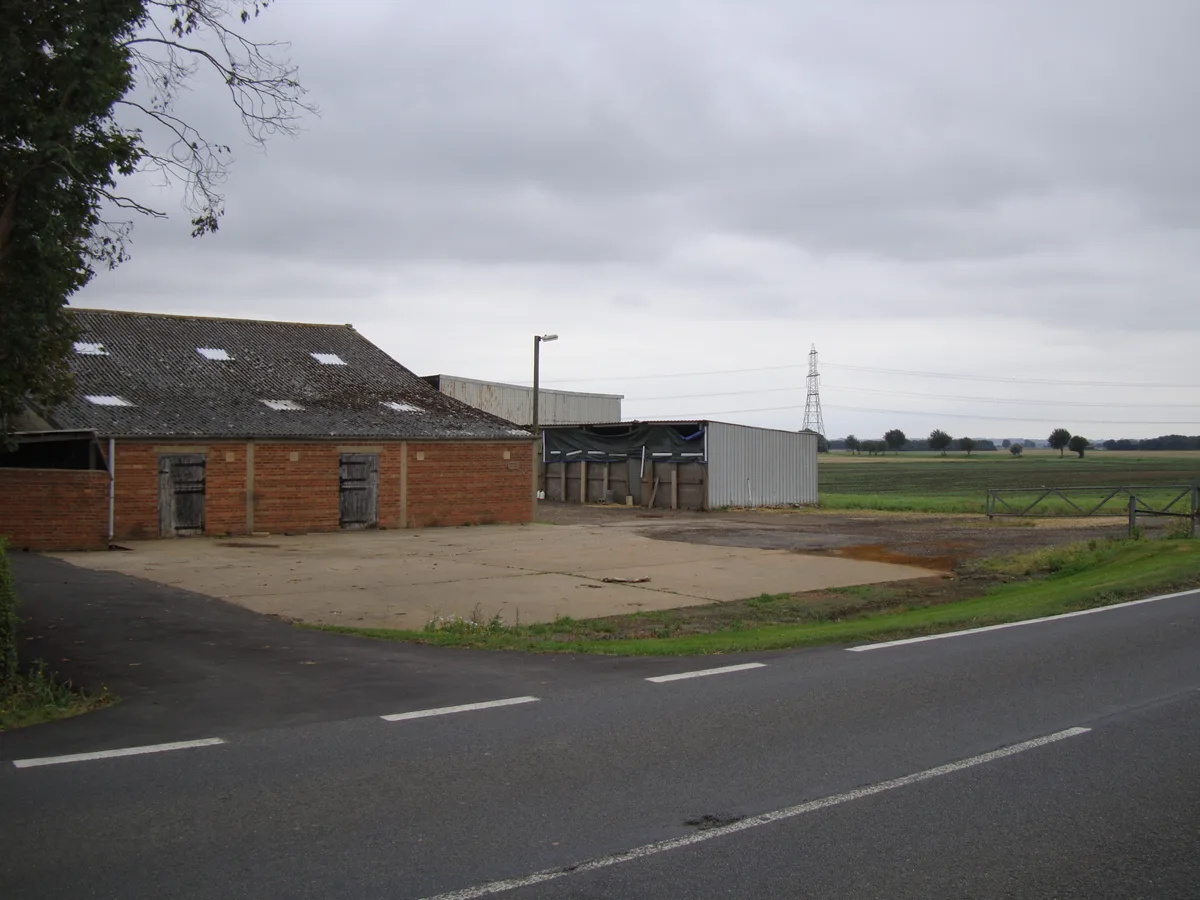
Molycourt Priory
Abbeys & priories · 2.5 km

Emneth
Villages · 3.3 km

Emneth War Memorial
Memorials & monuments · 3.7 km

Emneth Village Sign
Public art & sculpture · 3.8 km

Three Holes Village Sign
Public art & sculpture · 4.3 km
Nearby
📷 5Public art & sculpture · East Midlands
Outwell Village Sign
Outwell Village Sign — a public art in england-london, United Kingdom.
📷 4Caravan parks · East Midlands
Westerby Farm Touring Caravan and Camping Park
Westerby Farm Touring Caravan and Camping Park — a caravan park in england london.
📷 5📷 5Memorials & monuments · East Midlands
Outwell War Memorial
Outwell War Memorial — Grade II listed building-listed memorial in england-london, United Kingdom.
📷 5📷 5Public art & sculpture · East Midlands
Upwell Village Sign
Upwell Village Sign — a public art in england-london, United Kingdom.
Where to eat & stay near Beaupré Hall
Places to stay
📷 4Caravan parks · East Midlands
Westerby Farm Touring Caravan and Camping Park
Westerby Farm Touring Caravan and Camping Park — a caravan park in england london.
 📷 5
📷 5 📷 4
📷 4Caravan parks · East of England
Croft Country Club
Croft Country Club — a caravan park in england london.
 📷 5
📷 5 📷 5
📷 5Hotels · East Midlands
Rose & Crown Hotel
Rose & Crown Hotel — a hotel in england london.
 📷 5
📷 5Places to eat & drink
 📷 5
📷 5Historic pubs · East of England
Sportsman Public House
Sportsman Public House in England East, United Kingdom.
 📷 5
📷 5 📷 5
📷 5 📷 5
📷 5 📷 5
📷 5Historic pubs · East of England
Crown And Mitre Public House
Crown And Mitre Public House in England East, United Kingdom.
 📷 5
📷 5Historic pubs · East of England
Globe Hotel
Globe Hotel in England East, United Kingdom.
More gardens in this region
 📷 5
📷 5Gardens · East Midlands
Elgood's Brewery Visitor Centre and Gardens
Elgood's Brewery Visitor Centre and Gardens — a garden in england-london, United Kingdom.
 📷 5
📷 5Gardens · East Midlands
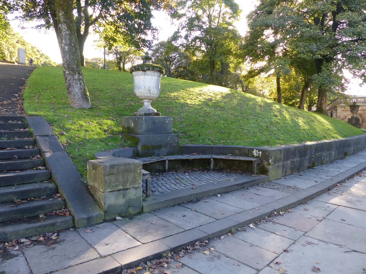
Buxton Pavilion Gardens
Buxton Pavilion Gardens is a Victorian landscaped public park in the spa town of Buxton in Derbyshire. The River Wye flows through the gardens, which are a Grade II* listed public park of Special Hist
 📷 3
📷 3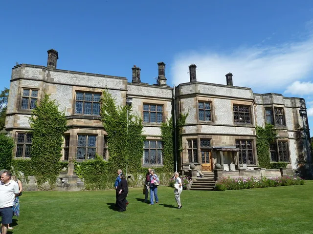 📷 3
📷 3Gardens · East Midlands
Thornbridge Hall
Thornbridge Hall — Grade II listed house in Ashford in the Water, Derbyshire, England, UK.
Frequently asked questions
- Where is Beaupré Hall?
- Beaupré Hall is in Norfolk, London, United Kingdom (postcode PE14 8PB), in the parish of Outwell.
- What is Beaupré Hall?
- Beaupré Hall — a garden in england-london, United Kingdom.
- How do I get to Beaupré Hall?
- The nearest railway station is Downham Market, about 9.0 km away. Drivers can use postcode PE14 8PB.
- Who owns Beaupré Hall?
- Beaupré Hall is owned by | affiliation =.
- How do I get to Beaupré Hall?
- Drivers can navigate to postcode PE14 8PB. It sits within the South West Norfolk parliamentary constituency.