
Natural landmarks · South West England
Westbury White Horse
In or near Bratton.
The Westbury White Horse or Bratton White Horse is a hill figure on the escarpment of Salisbury Plain, approximately 1.5 miles (2.4 km) east of Westbury in Wiltshire. It is the oldest of eight white h

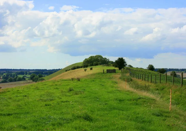
Phil Champion — CC BY-SA 2.0 via Wikimedia Commons licence

Plan your visit
- Typical visit
- 1 h–2 h
- Nearest railway station
- Westbury · 3.7 km
- Family-friendly
- Dog-friendly
Getting there & planning your visit
To visit the Westbury White Horse, the nearest railway station is Westbury, located 3.7 km away. The postcode for the site is BA13 4TA. Entry is free, and accessibility details are not specified.
About
The Westbury White Horse or Bratton White Horse is a hill figure on the escarpment of Salisbury Plain, approximately 1.5 miles (2.4 km) east of Westbury in Wiltshire. It is the oldest of eight white horses in Wiltshire, dating at least from the late 17th or early 18th century. It has been restored several times, which may have obliterated other white horse figures on the same slope. A small early 19th-century engraving shows a horse facing in the opposite direction. There is, however, no evidence for the existence of a chalk horse at Westbury before 1742, and it was reported then to have been created within living memory. The horse is 180 ft (55 m) tall and 170 ft (52 m) wide and has been adopted as a symbol for the town of Westbury, appearing on welcome signs. It is also considered a symbol for Wiltshire as a whole.
Photo gallery
Protected designations
- Site of Special Scientific Interest: Bratton Downs SSSI
- Site of Special Scientific Interest: River Avon System SSSI
- Site of Special Scientific Interest: Salisbury Plain SSSI
Designations sourced from Natural England open data under OGL v3.
From the Wikipedia article
The Westbury White Horse or Bratton White Horse is a hill figure on the escarpment of Salisbury Plain, approximately 1.5 miles (2.4 km) east of Westbury in Wiltshire. It is the oldest of eight white horses in Wiltshire, dating at least from the late 17th or early 18th century. It has been restored several times, which may have obliterated other white horse figures on the same slope. A small early 19th-century engraving shows a horse facing in the opposite direction. There is, however, no evidence for the existence of a chalk horse at Westbury before 1742, and it was reported then to have been created within living memory. The horse is 180 ft (55 m) tall and 170 ft (52 m) wide and has been adopted as a symbol for the town of Westbury, appearing on welcome signs. It is also considered a symbol for Wiltshire as a whole.
Excerpt from Wikipedia under CC BY-SA 4.0. See the source article linked in Sources below.
Background
History
The Westbury or Bratton White Horse is the oldest of the Wiltshire chalk horses, and its origins are obscure. Another hillside chalk figure, the Uffington White Horse, featured in King Alfred's early life as he was born in the Vale of White Horse, not far from Uffington in Oxfordshire. Unlike the recorded history of Westbury, documents as early as the 11th century refer to the "White Horse Hill" at Uffington ("mons albi equi"), and archaeological work has dated the Uffington White Horse to the Bronze Age, although it is not certain that it was originally intended to represent a horse. A white horse war standard was associated with the continental Saxons in the Dark Ages. In his 17th-century…
Visiting
The White Horse was referenced in The Tontine (1955) by Thomas B. Costain, The Emigrants (1980) by George Lamming, and The English Patient (1992) by Michael Ondaatje, as the place where the sapper Kip learned how to deactivate bombs. Michael Morpurgo mentioned it as one of the inspirations for The Butterfly Lion. The figure can be seen in the music video for Scottish guitarist Midge Ure's 1996 single "Breathe", as well as in the music video to the instrumental piece "The Journey" by the hammered dulcimer band Dulci Girls, and is featured in the current opening titles of the regional television news programme ITV News West Country. It was also seen in a 2015 Visit England advertisement…
Sourced from Wikipedia under CC BY-SA 4.0.
- Coordinates
- 51.2640, -2.1467
- District
- Wiltshire
- Parish
- Bratton
- Postcode
- BA13 4TA
- Parliamentary constituency
- South West Wiltshire
- Established
- 1778
- Nearest railway station
- Westbury — 3.7 km
Sources
- wikipedia: Westbury White Horse (CC BY-SA 4.0)
Featured in this guide
Other places nearby

Westbury White Horse
Archaeological sites · 0.1 km

White Horse
Viewpoints · 0.2 km
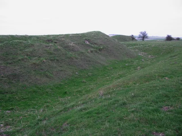
Bratton Castle
Hill forts · 0.3 km

White Horse Hill
Mountains & hills · 0.6 km
Westbury Hill
Mountains & hills · 0.6 km

Westbury White Horse Viewing Point
Viewpoints · 1.4 km

Ballard And Aldridge Monuments In The Churchyard About 4 Metres South Of Transept Of Church Of St James
Memorials & monuments · 1.6 km

Four Monuments In The Churchyard Between 4 And 12 Metres South East Of Church Of St James
Memorials & monuments · 1.6 km

Phipps Mausoleum
Memorials & monuments · 1.8 km
Westbury Cemetery
Cemeteries · 1.8 km
.jpg?width=1200)
Bratton House
Historic houses · 1.9 km

Bratton
Towns & cities · 2.0 km
Nearby
📷 5Archaeological sites · South West England
Westbury White Horse
Westbury White Horse — archaeological in england south east.
📷 5📷 5Hill forts · South West England
Bratton Castle
Bratton Castle — bivallate Iron Age hillfort on Bratton Down in Wiltshire, England.
📷 5Mountains & hills · South West England
White Horse Hill
White Horse Hill — a hill or mountain in england south east.
📷 5Mountains & hills · South West England
Westbury Hill
Westbury Hill — mountain in england south east. Elevation: 230 m.
📷 5Viewpoints · South West England
Westbury White Horse Viewing Point
Westbury White Horse Viewing Point is a viewpoint in the United Kingdom.
Where to eat & stay near Westbury White Horse
Places to stay
 📷 5
📷 5 📷 5
📷 5Campsites · South West England
West Wiltshire Scouts Jubilee Wood Campsite
West Wiltshire Scouts Jubilee Wood Campsite — a campsite in england south east.
 📷 5
📷 5Campsites · South West England
Brokerswood Holiday Park
Brokerswood Holiday Park — a campsite in england south east.
 📷 5
📷 5Hotels · South West England
The Bishopstrow Hotel & Spa
The Bishopstrow Hotel & Spa — a hotel in england south east.
 📷 5
📷 5 📷 5
📷 5Places to eat & drink
 📷 6
📷 6Restaurants · South West England
New China Cottage
New China Cottage — a restaurant in england south east.
 📷 5
📷 5Historic pubs · South West England
The Old Bell Public House
The Old Bell Public House in England South West, United Kingdom.
 📷 5
📷 5Historic pubs · South West England
The Castle Public House
The Castle Public House in England South West, United Kingdom.
 📷 5
📷 5 📷 5
📷 5Historic pubs · South West England
The White Swan Public House
The White Swan Public House in England South West, United Kingdom.
 📷 5
📷 5Historic pubs · South West England
The Sun Public House
The Sun Public House in England South West, United Kingdom.
More natural landmarks in this region
 📷 5
📷 5Natural landmarks · South West England
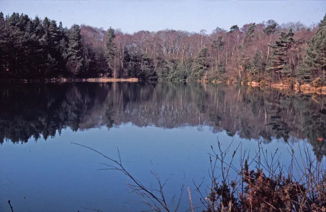
Blue Pool
Blue Pool — lake in Dorset, England, UK.
 📷 5
📷 5Natural landmarks · South West England
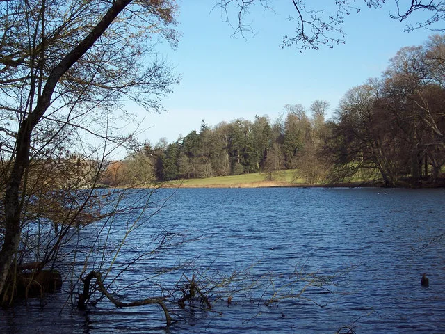
Fonthill Lake
Fonthill Lake — lake in Wiltshire, England, UK.
 📷 5
📷 5 📷 5
📷 5Natural landmarks · South West England
Orchardleigh Lake
Orchardleigh Lake — lake in the United Kingdom.
Frequently asked questions
- Where is Westbury White Horse?
- Westbury White Horse is in South-West England, United Kingdom (postcode BA13 4TA), in the parish of Bratton.
- What is Westbury White Horse?
- The Westbury White Horse or Bratton White Horse is a hill figure on the escarpment of Salisbury Plain, approximately 1.5 miles (2.4 km) east of Westbury in Wiltshire. It is the oldest of eight white h
- How do I get to Westbury White Horse?
- The nearest railway station is Westbury, about 3.7 km away. The nearest town is Bratton. Drivers can use postcode BA13 4TA.
- When was Westbury White Horse built?
- Built or established in 1778.
- Is Westbury White Horse a protected site?
- Yes — Westbury White Horse is part of the Bratton Downs SSSI Site of Special Scientific Interest and the River Avon System SSSI Site of Special Scientific Interest.
- How do I get to Westbury White Horse?
- The nearest railway station is Westbury, about 3.7 km away. Drivers can navigate to postcode BA13 4TA.