
Natural landmarks · South West England
Long Knoll
In or near Kingston Deverill.
Long Knoll — mountain in United Kingdom.

Wikimedia Commons contributors — see linked file page for photographer and licence licence

Plan your visit
- Typical visit
- 1 h–2 h
- Nearest railway station
- Longleat · 5.8 km
- Free entry
- Dog-friendly
Getting there & planning your visit
To visit Long Knoll, the nearest railway station is Longleat, located 5.8 km away. Entry is free, and the postcode for sat-nav is BA12 7FG.
About
Long Knoll is a named natural landmark in the United Kingdom. Heritage designation: Site of Special Scientific Interest. Wikidata describes it as: "mountain in United Kingdom". Coordinates: 51.1373°, -2.2987°.
Photo gallery
Protected designations
- Site of Special Scientific Interest: Long Knoll SSSI
- Area of Outstanding Natural Beauty: Cranborne Chase & West Wiltshire Downs
Designations sourced from Natural England open data under OGL v3.
From the Wikipedia article
Long Knoll (grid reference ST794376) is a hill in the West Wiltshire Downs in the west of the English county of Wiltshire. It is a ridge of chalk grassland, some 1.5 kilometres (1 mi) in length, and forms the boundary between the civil parishes of Kilmington to the south and Maiden Bradley to the north. The ridge is 288 metres (945 ft) above sea level at its highest point and it is possible to view King Alfred's Tower, Cranmore Tower, the Black Mountains and Glastonbury Tor on clear days. The hill is the site of the 34.2-hectare (85-acre) Long Knoll biological Site of Special Scientific Interest, which was notified in 1971, and is part of the Cranborne Chase and West Wiltshire Downs Area of Outstanding Natural Beauty. Long Knoll is the most westerly part of the remains of a chalk plateau. It forms a ridge that runs east and west for about a mile, and is 60 m (200 ft) higher than the surrounding land. The south-facing slope has a mosaic of longer and shorter turfs and has a mixture of grasses, sedges and forbs. Here grow a typical calcareous community including glaucus sedge, sheep's-fescue, meadow oat-grass, heath-grass and common quaking-grass, together with cowslip, salad burnet, rock-rose, betony, small scabious and devil's-bit scabious. Some of the less common chalk grassland herbs include clustered bellflower, early purple orchid, horseshoe vetch, kidney vetch and chalk milkwort. The north-facing slope, by contrast, has more mosses and bryophytes on the closely grazed turf, with tufted hair-grass, false oat-grass, red fescue and crested hair-grass. Common valerian is an unusual species to find on chalk soils, and other herbs include autumn gentian, fairy flax and an abundance of devil's-bit scabious. Long Knoll is categorised as a Marilyn, a hill with topographic prominence of at least 150 metres (492 ft).
Excerpt from Wikipedia under CC BY-SA 4.0. See the source article linked in Sources below.
- Coordinates
- 51.1373, -2.2987
- District
- Wiltshire
- Parish
- Kilmington
- Postcode
- BA12 7FG
- Parliamentary constituency
- South West Wiltshire
- Nearest railway station
- Longleat — 5.8 km
Sources
- wikidata: Q6672769 (CC0)
- wikipedia: Long Knoll (CC BY-SA 4.0)
- commons: Long view of Long Knoll - geograph.org.uk - 946041.jpg (CC BY-SA 4.0)
Other places nearby

Long Knoll
Mountains & hills · 0.6 km
Long Knoll
Mountains & hills · 0.6 km

Yarnfield
Vineyards · 1.2 km

Little Knoll
Mountains & hills · 1.5 km

Church of All Saints, Maiden Bradley
Historic churches · 1.6 km

Little Knoll
Mountains & hills · 1.6 km

Maiden Bradley
Villages · 1.6 km

Medieval village of Yarnfield (site of)
Archaeological sites · 1.7 km
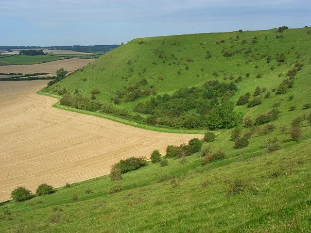
White Sheet Hill
Mountains & hills · 3.2 km

Rodmead Hill
Mountains & hills · 3.2 km

White Sheet Castle
Castles · 3.2 km

White Sheet camp
Vineyards · 3.2 km
Nearby
📷 5Mountains & hills · South West England
Long Knoll
Long Knoll — a hill or mountain in england south east.
📷 5Mountains & hills · South West England
Long Knoll
Long Knoll — mountain in england south east. Elevation: 288 m.
📷 5Vineyards · South West England
Yarnfield
Yarnfield — a UK vineyard in england south east, producing English or Welsh wine from cool-climate grape varieties.
📷 5Mountains & hills · South West England
Little Knoll
Little Knoll — a hill or mountain in england south east.
📷 5Historic churches · South West England
Church of All Saints, Maiden Bradley
Church of All Saints, Maiden Bradley — church in Maiden Bradley, Wiltshire, England, UK.
📷 5Mountains & hills · South West England
Little Knoll
Little Knoll — mountain in england south east. Elevation: 256 m.
Where to eat & stay near Long Knoll
Places to stay
 📷 5
📷 5Caravan parks · South West England
Longleat Caravan Club Site
Longleat Caravan Club Site — a caravan park in england south east.
 📷 2
📷 2Campsites · South West England
Two Counties Farm
Two Counties Farm — a campsite in england south east.
 📷 5
📷 5Campsites · South West England
Bush Farm Bison Centre
Bush Farm Bison Centre — a campsite in england south east.
 📷 5
📷 5Campsites · South West England
Botany Camping & Glamping
Botany Camping & Glamping — a campsite in england south east.
 📷 5
📷 5Campsites · South West England
Sunnyhill Campsite
Sunnyhill Campsite — a campsite in england south east.
 📷 5
📷 5Places to eat & drink
 📷 7
📷 7Historic pubs · South West England
The Bath Arms
The Bath Arms in England South West, United Kingdom.
 📷 7
📷 7Historic pubs · South West England
The Bath Arms
The Bath Arms in England South West, United Kingdom.
 📷 5
📷 5 📷 7
📷 7Historic pubs · South West England
The Bell And Crown Public House
The Bell And Crown Public House in England South West, United Kingdom.
 📷 7
📷 7Restaurants · South West England
The Old Bath Arms
The Old Bath Arms — a restaurant in england south east.
 📷 6
📷 6Historic pubs · South West England
The Three Swan's Inn
The Three Swan's Inn in England South West, United Kingdom.
More natural landmarks in this region
 📷 5
📷 5Natural landmarks · South West England
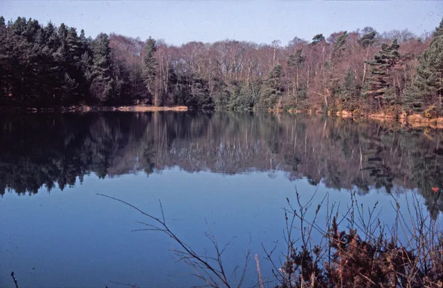
Blue Pool
Blue Pool — lake in Dorset, England, UK.
 📷 5
📷 5Natural landmarks · South West England
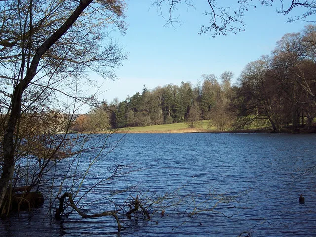
Fonthill Lake
Fonthill Lake — lake in Wiltshire, England, UK.
 📷 5
📷 5Natural landmarks · South West England
Orchardleigh Lake
Orchardleigh Lake — lake in the United Kingdom.
 📷 5
📷 5Natural landmarks · South West England
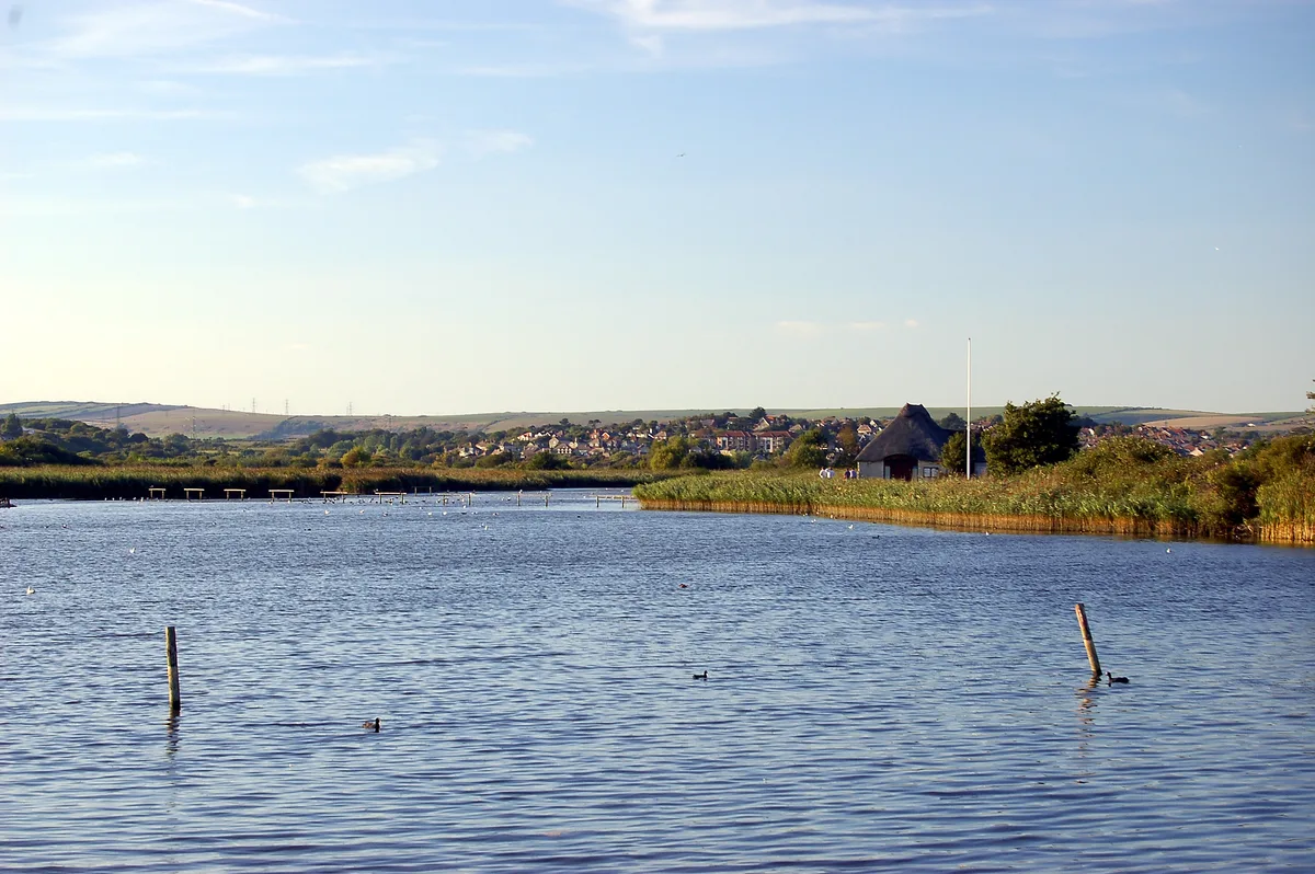
Radipole Lake
Radipole Lake — lake in Dorset, England, UK.
Frequently asked questions
- Where is Long Knoll?
- Long Knoll is in South-East England, United Kingdom (postcode BA12 7FG), in the parish of Kilmington.
- What is Long Knoll?
- Long Knoll — mountain in United Kingdom.
- How do I get to Long Knoll?
- The nearest railway station is Longleat, about 5.8 km away. Drivers can use postcode BA12 7FG.
- Is Long Knoll a listed building?
- Long Knoll is officially recognised as Site of Special Scientific Interest listed.
- Is Long Knoll a protected site?
- Yes — Long Knoll is part of the Long Knoll SSSI Site of Special Scientific Interest and the Cranborne Chase & West Wiltshire Downs National Landscape (AONB).
- Is Long Knoll free to visit?
- Yes, Long Knoll is free to enter.
- How do I get to Long Knoll?
- The nearest railway station is Longleat, about 5.8 km away. Drivers can navigate to postcode BA12 7FG.