
Wildlife reserves · East of England
Wandlebury Hill
In or near Cherry Hinton.
Wandlebury Hill (grid reference TL493534) is a peak in the Gog Magog Hills, a ridge of low chalk hills extending for several miles to the southeast of Cambridge, England. The underlying rock is presen

Matthew Chadwick — CC BY-SA 2.0 via Wikimedia Commons licence

Plan your visit
- Typical visit
- 2 h–4 h
- Best time of year
- Autumn & winter (migration & wildfowl)
- Nearest railway station
- Shelford · 3.1 km
- Free entry
- Dog-friendly
Getting there & planning your visit
To visit Wandlebury Hill, the nearest railway station is Shelford, located 3.1 km away. The postcode for sat-nav is CB22 3AE, and entry to the reserve is free.
About
Wandlebury Hill (grid reference TL493534) is a peak in the Gog Magog Hills, a ridge of low chalk hills extending for several miles to the southeast of Cambridge, England. The underlying rock is present in a number of places on the hill. At 74 metres (243 ft) it is the same height as the nearby Little Trees Hill, although the latter is a more notable landmark. The top stands in Wandlebury Country Park, a nature reserve owned by Cambridge Past, Present & Future (registered charity number 204122), formerly known as the Cambridge Preservation Society. Wandlebury was already inhabited in the Bronze Age and 2500 years ago there was an Iron Age hill fort here known as Wandlebury Ring. This hill fort once had concentric ditches and earthen walls which were kept in place by wooden palisades. Although the fort has vanished, the ditch (the Ring) dug around the edge can clearly be seen and walked along, being 5 metres deep in places and offering an adventurous route along its edge. There is no evidence that it was ever used in defence. The reserve, mainly beech woodlands and fields, is a place for birdwatching. Banyard bird hide, overlooking Varley's Field, was completed in February 2012. Like Little Trees Hill, the summit is on public land and is accessible when sheep or Highland cattle are not in the field. Dogs must be on a lead everywhere in Wandlebury Country Park. It can be reached by walking across the field from post 3 of the nature trail. Virtually no climb is involved in the…
Photo gallery
Protected designations
- Site of Special Scientific Interest: Roman Road SSSI
Designations sourced from Natural England open data under OGL v3.
From the Wikipedia article
Wandlebury Hill (grid reference TL493534) is a peak in the Gog Magog Hills, a ridge of low chalk hills extending for several miles to the southeast of Cambridge, England. The underlying rock is present in a number of places on the hill. At 74 metres (243 ft) it is the same height as the nearby Little Trees Hill, although the latter is a more notable landmark. The top stands in Wandlebury Country Park, a nature reserve owned by Cambridge Past, Present & Future (registered charity number 204122), formerly known as the Cambridge Preservation Society. Wandlebury was already inhabited in the Bronze Age and 2500 years ago there was an Iron Age hill fort here known as Wandlebury Ring. This hill fort once had concentric ditches and earthen walls which were kept in place by wooden palisades. Although the fort has vanished, the ditch (the Ring) dug around the edge can clearly be seen and walked along, being 5 metres deep in places and offering an adventurous route along its edge. There is no evidence that it was ever used in defence. The reserve, mainly beech woodlands and fields, is a place for birdwatching. Banyard bird hide, overlooking Varley's Field, was completed in February 2012. Like Little Trees Hill, the summit is on public land and is accessible when sheep or Highland cattle are not in the field. Dogs must be on a lead everywhere in Wandlebury Country Park. It can be reached by walking across the field from post 3 of the nature trail. Virtually no climb is involved in the ascent, just a stroll through woodland.
Excerpt from Wikipedia under CC BY-SA 4.0. See the source article linked in Sources below.
- Coordinates
- 52.1586, 0.1825
- County
- Cambridgeshire
- District
- South Cambridgeshire
- Parish
- Stapleford
- Postcode
- CB22 3AE
- Parliamentary constituency
- South Cambridgeshire
- Nearest railway station
- Shelford — 3.1 km
Sources
- wikipedia: Wandlebury Hill (CC BY-SA 4.0)
Other places nearby
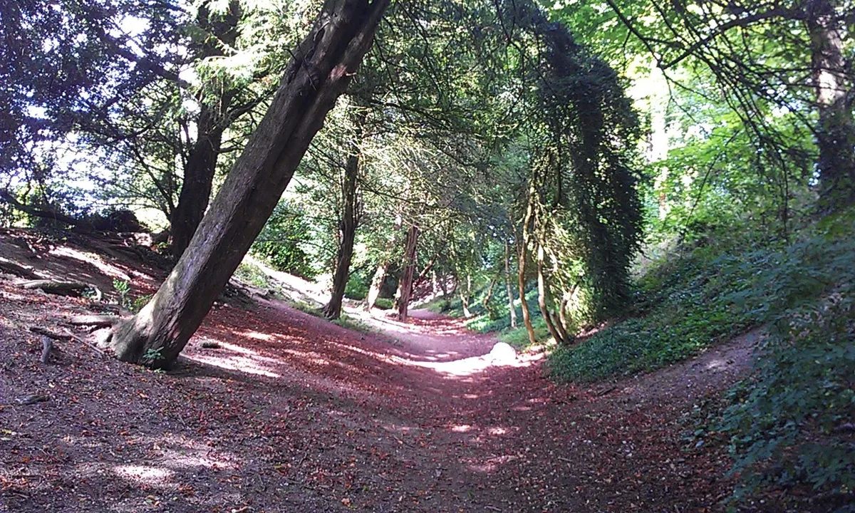
Wandlebury Hill Fort
Hill forts · 0.0 km

Wandlebury Ring (Iron Age Hill Fort)
Hill forts · 0.1 km

Wandlebury Country Park
Country parks · 0.4 km

Gog Magog Hills
Mountains & hills · 0.4 km

Ely View
Viewpoints · 0.5 km

Magog Down
Natural landmarks · 0.6 km
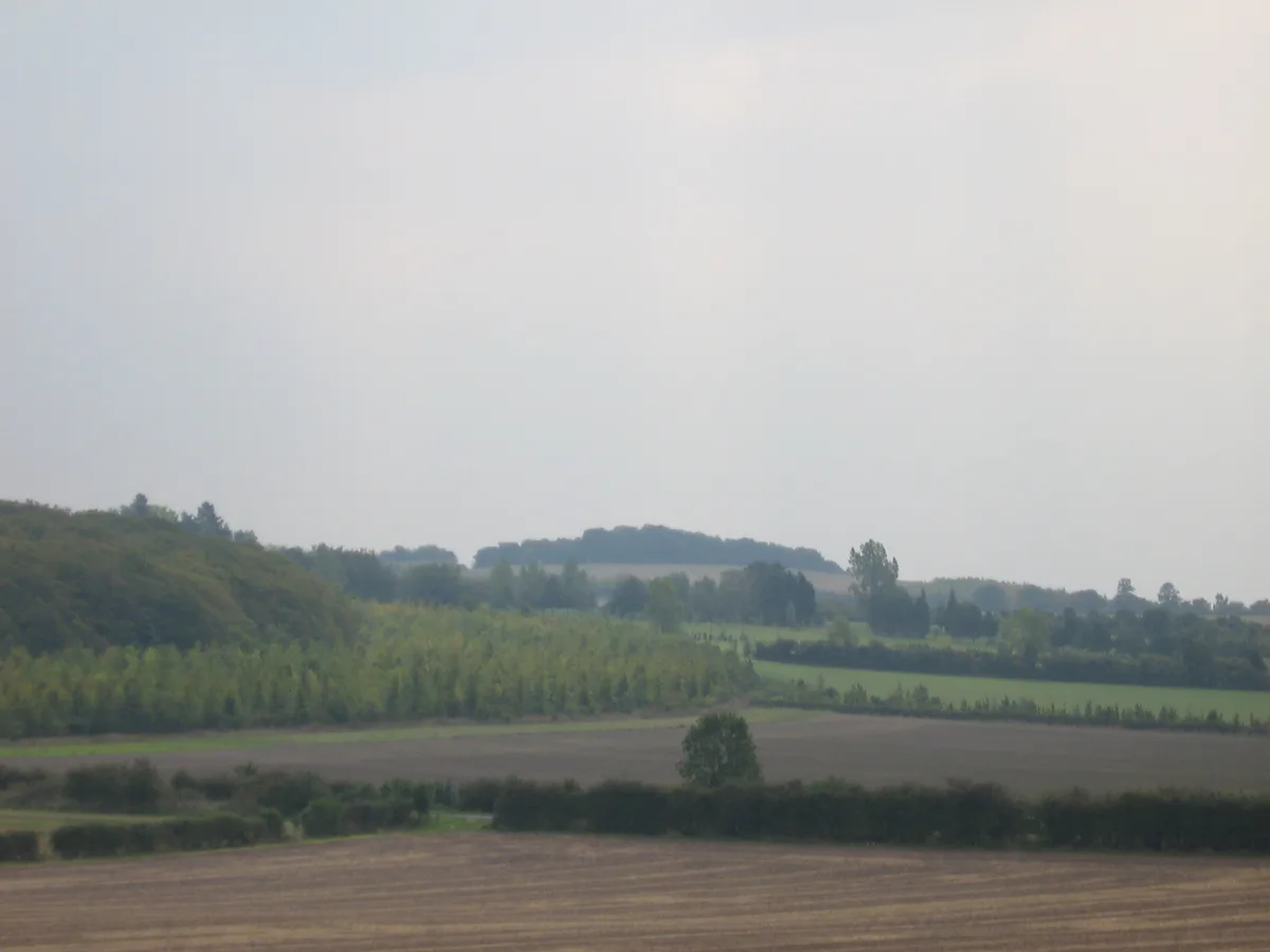
Little Trees Hill
Mountains & hills · 0.7 km

Gog Magog Hills
Natural landmarks · 0.8 km

Great Shelford high point
Mountains & hills · 1.0 km

Cambridge high point
Mountains & hills · 1.2 km

Fox Hill
Mountains & hills · 1.3 km
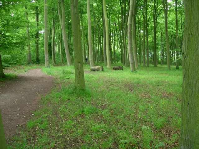
Beechwoods nature reserve
Wildlife reserves · 1.5 km
Nearby
📷 5Hill forts · East of England
Wandlebury Hill Fort
Wandlebury Hill Fort — hillfort in Cambridgeshire, England, UK.
📷 5Hill forts · East of England
Wandlebury Ring (Iron Age Hill Fort)
Wandlebury Ring (Iron Age Hill Fort) — a hill fort in england-london, United Kingdom.
📷 5Country parks · East of England
Wandlebury Country Park
Wandlebury Country Park — a country park in england-london, United Kingdom.
📷 5Mountains & hills · East of England
Gog Magog Hills
Gog Magog Hills — mountain in england london. Elevation: 75 m.
📷 5📷 5Natural landmarks · East of England
Magog Down
Magog Down — a other in england-london, United Kingdom.
Where to eat & stay near Wandlebury Hill
Places to stay
 📷 5
📷 5Caravan parks · East of England
Cambridge Cherry Hinton Caravan and Motorhome Club
Cambridge Cherry Hinton Caravan and Motorhome Club — a caravan park in england london.
 📷 5
📷 5Campsites · East of England
Bounds Campsite
Bounds Campsite — a campsite in england london.
 📷 5📷 5
 📷 5
📷 5Campsites · East of England
Camping & Caravanning Club - Cambridge Club Site
Camping & Caravanning Club - Cambridge Club Site — a campsite in england london.
 📷 7
📷 7Hotels · East of England
Travelodge Cambridge Central
Travelodge Cambridge Central — a hotel in england london. 2-star. Brand: Travelodge.
Places to eat & drink
 📷 7
📷 7Historic pubs · East of England
The Robin Hood
The Robin Hood in England East, United Kingdom.
 📷 5
📷 5 📷 7
📷 7Restaurants · East of England
sole & duck
sole & duck — a restaurant in england london.
 📷 5
📷 5Historic pubs · East of England
Tickells Arms Public House
Tickells Arms Public House in England East, United Kingdom.
 📷 7
📷 7 📷 5
📷 5Historic pubs · East of England
The Oak Public House
The Oak Public House in England East, United Kingdom.
More places in this region
 Flagship📷 10
Wildlife reserves · East of England
Amwell Quarry
Amwell Quarry — nature reserve in United Kingdom.
 Flagship📷 10
Wildlife reserves · East of England
Aubrey Buxton Nature Reserve
Aubrey Buxton Nature Reserve — Essex Wildlife Trust Nature reserve.
 Flagship📷 10
Wildlife reserves · East of England
Canvey Wick
Canvey Wick — nature reserve in Essex, United Kingdom.
 Flagship📷 10
Wildlife reserves · East of England
Crowsheath Wood
Crowsheath Wood — Essex Wildlife Trust Nature reserve.
Frequently asked questions
- Where is Wandlebury Hill?
- Wandlebury Hill is in Cambridgeshire, East of England, United Kingdom (postcode CB22 3AE), in the parish of Stapleford.
- What is Wandlebury Hill?
- Wandlebury Hill (grid reference TL493534) is a peak in the Gog Magog Hills, a ridge of low chalk hills extending for several miles to the southeast of Cambridge, England. The underlying rock is presen
- How do I get to Wandlebury Hill?
- The nearest railway station is Shelford, about 3.1 km away. Drivers can use postcode CB22 3AE.
- Is Wandlebury Hill a protected site?
- Yes — Wandlebury Hill is part of the Roman Road SSSI Site of Special Scientific Interest.
- Is Wandlebury Hill free to visit?
- Yes, Wandlebury Hill is free to enter.
- How do I get to Wandlebury Hill?
- The nearest railway station is Shelford, about 3.1 km away. Drivers can navigate to postcode CB22 3AE.
- Are dogs allowed at Wandlebury Hill?
- Most wildlife reserves allow dogs on lead only, with restrictions during ground-nesting bird season (March-July). Check signage at the reserve.