
Mountains & hills · East of England
Little Trees Hill
In or near Cherry Hinton.
Little Trees Hill — Named summit at 74 m.

Wikimedia Commons contributors — see linked file page for photographer and licence licence

Plan your visit
- Typical visit
- 3 h–8 h
- Best time of year
- Late spring – early autumn (May–Oct)
- Nearest railway station
- Shelford · 2.5 km
- Free entry
- Dog-friendly
Getting there & planning your visit
Little Trees Hill is located in South Cambridgeshire, with the nearest railway station being Shelford, approximately 2.5 km away. Entry is free, and the postcode for sat-nav is CB22 5FX.
About
Little Trees Hill is a named summit in the United Kingdom. Wikidata describes it as: "Named summit at 74 m.". Coordinates: 52.1549°, 0.1748°.
Photo gallery
From the Wikipedia article
Little Trees Hill is one of the highest points of the Gog Magog Hills, a ridge of low chalk hills extending for several miles to the south-east of Cambridge in England. Unusually for a Cambridgeshire hill, its summit is reachable on foot, thanks to permissive open access. A footpath runs from the Magog Down car park on Haverhill Road, Stapleford, across the managed meadow called North Down, to the top. The highest point are behind a fence in a wood, but most visitors survey the view from the seats by the fence. The panorama westward is vast; looking northwest there is no higher ground for 50 miles until the Lincolnshire Wolds. The city of Cambridge is visible, with Addenbrooke's Hospital and the Catholic Church prominent. The Madingley Hills can be seen over the other side of the Cam valley and Castle Hill in Cambridge is prominent. To the southwest, Rowley's Hill and the obelisk on St Margaret's Mount can be seen through binoculars. The hill is within the 163.5 acres (66.2 ha) privately owned site called Magog Down, which is owned and managed by The Magog Trust. Many circular paths can be used within the site, of varying lengths. The site as a whole is popular with dog walkers and with sledges on the rare occasions when the hill is covered with snow. The other summit in the range is Wandlebury Hill about 500 metres to the north east and to which this hill is connected by a low ridge.
Excerpt from Wikipedia under CC BY-SA 4.0. See the source article linked in Sources below.
- Coordinates
- 52.1549, 0.1748
- County
- Cambridgeshire
- District
- South Cambridgeshire
- Parish
- Stapleford
- Postcode
- CB22 5FX
- Parliamentary constituency
- South Cambridgeshire
- Nearest railway station
- Shelford — 2.5 km
Sources
- osm: n296018842 (ODbL)
- wikipedia: Little Trees Hill (CC BY-SA 4.0)
- commons: Little Trees Hill!.JPG (CC BY-SA 4.0)
Other places nearby

Magog Down
Natural landmarks · 0.3 km

Wandlebury Ring (Iron Age Hill Fort)
Hill forts · 0.6 km

Wandlebury Hill
Wildlife reserves · 0.7 km
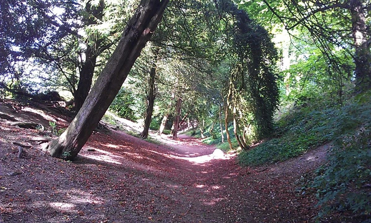
Wandlebury Hill Fort
Hill forts · 0.7 km

Fox Hill
Mountains & hills · 0.8 km

Wandlebury Country Park
Country parks · 1.0 km

Gog Magog Hills
Mountains & hills · 1.1 km

Ely View
Viewpoints · 1.2 km

Great Shelford high point
Mountains & hills · 1.2 km

Gog Magog Hills
Natural landmarks · 1.2 km
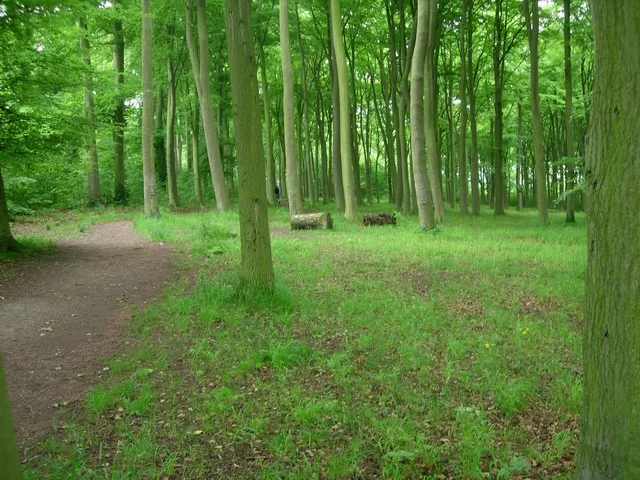
Beechwoods nature reserve
Wildlife reserves · 1.6 km

Cambridge high point
Mountains & hills · 1.7 km
Nearby
📷 5Natural landmarks · East of England
Magog Down
Magog Down — a other in england-london, United Kingdom.
📷 5Hill forts · East of England
Wandlebury Ring (Iron Age Hill Fort)
Wandlebury Ring (Iron Age Hill Fort) — a hill fort in england-london, United Kingdom.
📷 4Wildlife reserves · East of England
Wandlebury Hill
Wandlebury Hill (grid reference TL493534) is a peak in the Gog Magog Hills, a ridge of low chalk hills extending for several miles to the southeast of Cambridge, England. The underlying rock is presen
📷 5Hill forts · East of England
Wandlebury Hill Fort
Wandlebury Hill Fort — hillfort in Cambridgeshire, England, UK.
📷 5📷 5Country parks · East of England
Wandlebury Country Park
Wandlebury Country Park — a country park in england-london, United Kingdom.
Where to eat & stay near Little Trees Hill
Places to stay
 📷 5
📷 5Caravan parks · East of England
Cambridge Cherry Hinton Caravan and Motorhome Club
Cambridge Cherry Hinton Caravan and Motorhome Club — a caravan park in england london.
 📷 5📷 5
 📷 5
📷 5Campsites · East of England
Camping & Caravanning Club - Cambridge Club Site
Camping & Caravanning Club - Cambridge Club Site — a campsite in england london.
 📷 5
📷 5Campsites · East of England
Bounds Campsite
Bounds Campsite — a campsite in england london.
 📷 7
📷 7Hotels · East of England
Travelodge Cambridge Central
Travelodge Cambridge Central — a hotel in england london. 2-star. Brand: Travelodge.
Places to eat & drink
 📷 7
📷 7Historic pubs · East of England
The Robin Hood
The Robin Hood in England East, United Kingdom.
 📷 5
📷 5 📷 7
📷 7Restaurants · East of England
sole & duck
sole & duck — a restaurant in england london.
 📷 5
📷 5Historic pubs · East of England
Tickells Arms Public House
Tickells Arms Public House in England East, United Kingdom.
 📷 7
📷 7 📷 5
📷 5Cafés · East of England
The Orchard
The Orchard — a café in england london.
More mountains in this region
 📷 5
📷 5Mountains & hills · East of England
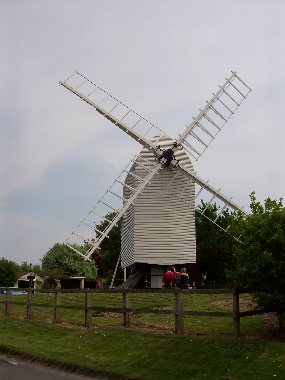
Cambridgeshire County Top
Cambridgeshire County Top — Named summit at 146 m.
 📷 5
📷 5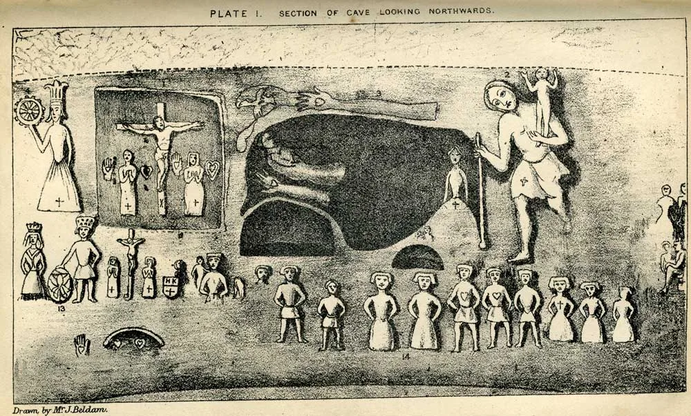 📷 5
📷 5Mountains & hills · East of England
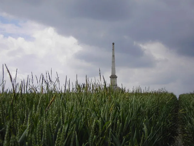
Royston Cave
Royston Cave — Grade I listed building in North Hertfordshire, England, UK.
 📷 5
📷 5Mountains & hills · East of England
Gibberd Gallery
Gibberd Gallery — a mountain in england-london, United Kingdom.
Frequently asked questions
- Where is Little Trees Hill?
- Little Trees Hill is in Cambridgeshire, London, United Kingdom (postcode CB22 5FX), in the parish of Stapleford.
- What is Little Trees Hill?
- Little Trees Hill — Named summit at 74 m.
- How do I get to Little Trees Hill?
- The nearest railway station is Shelford, about 2.5 km away. Drivers can use postcode CB22 5FX.
- Is Little Trees Hill free to visit?
- Yes, Little Trees Hill is free to enter.
- How do I get to Little Trees Hill?
- The nearest railway station is Shelford, about 2.5 km away. Drivers can navigate to postcode CB22 5FX.