
Hill forts · Yorkshire & the Humber
Wade's Causeway
In or near Goathland.
Wade's Causeway — Sinuous, linear monument in the North York Moors national park in North Yorkshire, England.

Wikimedia Commons contributors — see linked file page for photographer and licence licence

Plan your visit
- Typical visit
- 1 h–2 h
- Nearest railway station
- Newton Dale Halt · 4.1 km
- Free entry
- Family-friendly
- Dog-friendly
- Limited wheelchair access
Getting there & planning your visit
Wade's Causeway is located in North Yorkshire, with the nearest railway station being Newton Dale Halt, approximately 4.1 km away. Entry is free, but accessibility is limited for wheelchair users. The postcode for sat-nav is YO22 5AP.
About
Wade's Causeway is a hill fort in the United Kingdom. Heritage designation: scheduled monument. Owned by Duchy of Lancaster. Managed by English Heritage. Wikidata describes it as: "Sinuous, linear monument in the North York Moors national park in North Yorkshire, England". Coordinates: 54.3706°, -0.7591°.
Photo gallery
Summary from the official site
Wade's Causeway, also known as Wheeldale Roman Road, is a historical monument located on Wheeldale Moor. It is believed to be part of a Roman road or possibly a Neolithic boundary feature, with various theories surrounding its origins and purpose, linking it to ancient military routes and local legends.
Read more on the official property page.
Protected designations
- Site of Special Scientific Interest: North York Moors SSSI
- Site of Special Scientific Interest: Newtondale SSSI
Designations sourced from Natural England open data under OGL v3.
From the Wikipedia article
Wade's Causeway is a Roman road, or possibly a Neolithic structure, located in the North York Moors national park in North Yorkshire, England. Its origins, age, purpose and extent are subject to research and debate and have not been reliably established. It was excavated in mid-20th century and dated to the Roman period, but 21st century re-interpretations have suggested a possible Neolithic origin. The name may be used to refer specifically to a length of stone course just over 1 mile (1.6 km) long on Wheeldale Moor and protected as a scheduled monument. It may be also be applied more broadly to include an additional postulated extension of this structure, two sections of which are also scheduled monuments, and which extend to the north and south of Wheeldale for up to 25 miles (40 km). The visible course on Wheeldale Moor consists of an embankment of soil, peat, gravel and loose pebbles 2 feet 4 inches (0.7 m) in height and 13 to 23 feet (4 to 7 m) in width. The gently cambered embankment is capped with un-mortared and loosely abutted flagstones. Its original form is uncertain since it has been subjected to weathering and human damage. The structure has been the subject of local folklore for several hundred years and possibly for more than a millennium. Its construction was commonly attributed to a giant known as Wade, a figure from Germanic mythology. In the 1720s, the causeway was mentioned in a published text and as a result became more widely known for the first time. Within a few years, it became of interest to antiquarians, who visited the site and exchanged commentary on its probable historicity. They interpreted the structure as a causeway across marshy ground, attributing its construction to the Roman army, an explanation that remained largely unchallenged throughout the remainder of the eighteenth and nineteenth centuries. The stretch of the causeway on Wheeldale Moor was cleared of vegetation and excavated in the early twentieth century by a local…
Excerpt from Wikipedia under CC BY-SA 4.0. See the source article linked in Sources below.
Background
Architecture
The causeway's visible section on Wheeldale Moor shows the remains of a continuous surface metalled with closely fitted slabs of sandstone with flat upper surfaces. The average size of a slab is 45 cm square, but some examples are 1.5 m in breadth. One section of the causeway has a central ridge but the purpose of this feature is unknown. The stone flags are seated on a cambered base of mixed gravel, clay and either rubble, peat or soil, that forms a raised embankment. The embankment is from 3.6 to wide at its raised surface. Its width in some sections is increased by 1 m of ditch to either side, which may or may not be associated with its original construction, making an approximately…
Description
A wide variety of interpretations for the structure have led, in the absence of any hard evidence, to a broad range of proposed dates for its construction, from 4,500 BC to around 1485 AD. In archaeological excavations, no coins or other artefacts have been found on or around the structure to aid its dating, and no evidence has been gathered through radiometric surveys. This has led to great difficulty in establishing even an approximate date for the causeway's construction. Attempts to date the structure have therefore relied on less precise means including etymology, the structure's probable relationship in the landscape to other structures of more precisely established date and function,…
Sourced from Wikipedia under CC BY-SA 4.0.
- Coordinates
- 54.3706, -0.7591
- District
- North Yorkshire
- Parish
- Goathland
- Postcode
- YO22 5AP
- Parliamentary constituency
- Scarborough and Whitby
- Nearest railway station
- Newton Dale Halt — 4.1 km
- Official site
- www.english-heritage.org.uk
Sources
- wikidata: Q7959012 (CC0)
- wikipedia: Wade's Causeway (CC BY-SA 4.0)
- commons: Wade's Causeway.jpg (CC BY-SA 4.0)
Other places nearby

Wheeldale Roman Road
Archaeological sites · 0.2 km
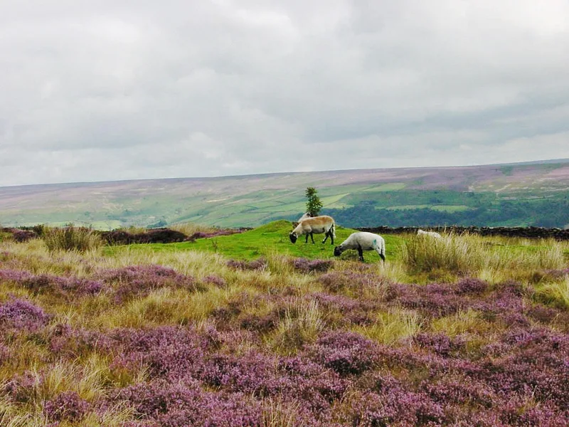
North York Moors
National parks · 1.5 km

Moors to Sea
Mountain bike trails · 1.5 km

Nelly Ayre Foss
Waterfalls · 1.8 km

Simon's Howe
Mountains & hills · 2.3 km

Crag Stone Rigg
Mountains & hills · 3.1 km

North Yorkshire Moors Railway
Heritage railways · 3.4 km

North Yorkshire Moors Railway
Heritage railways · 3.4 km

Brow House Farm Caravan & Camping Site
Caravan parks · 3.4 km

North Yorkshire Moors Railway
Heritage railways · 3.5 km

Mallyan Spout
Natural landmarks · 3.5 km

Mallyan Spout
Waterfalls · 3.5 km
Nearby
📷 3Archaeological sites · Yorkshire & the Humber
Wheeldale Roman Road
Wheeldale Roman Road — a archaeological in england-yorkshire, United Kingdom.
Flagship📷 5National parks · Yorkshire & the Humber
North York Moors
North York Moors is a Upland area in North Yorkshire, England.
📷 5Mountain bike trails · Yorkshire & the Humber
Moors to Sea
Moors to Sea — a mtb trail in england yorkshire.
📷 5📷 5Mountains & hills · Yorkshire & the Humber
Simon's Howe
Simon's Howe — mountain in england yorkshire. Elevation: 260 m.
📷 5Mountains & hills · Yorkshire & the Humber
Crag Stone Rigg
Crag Stone Rigg — mountain in england yorkshire. Elevation: 252 m.
Where to eat & stay near Wade's Causeway
Places to stay
📷 5Caravan parks · Yorkshire & the Humber
Brow House Farm Caravan & Camping Site
Brow House Farm Caravan & Camping Site — a caravan park in england yorkshire.
 📷 5
📷 5Campsites · Yorkshire & the Humber
Abbots House Farm Campsite
Abbots House Farm Campsite — a campsite in england yorkshire.
 📷 5
📷 5Campsites · Yorkshire & the Humber
Marfit Head Farm
Marfit Head Farm — a campsite in england yorkshire.
 📷 5
📷 5Campsites · Yorkshire & the Humber
Bank Top Camping
Bank Top Camping — a campsite in england yorkshire.
 📷 5
📷 5Hotels · Yorkshire & the Humber
The Horseshoe Hotel
The Horseshoe Hotel — a hotel in england yorkshire.
 📷 5
📷 5Caravan parks · Yorkshire & the Humber
White Swan Campsite
White Swan Campsite — a caravan park in england yorkshire.
Places to eat & drink
 📷 5
📷 5Historic pubs · Yorkshire & the Humber
Birch Hall Inn
Birch Hall Inn in England Yorkshire, United Kingdom.
 📷 5
📷 5Historic pubs · Yorkshire & the Humber
Station Tavern
Station Tavern in England Yorkshire, United Kingdom.
 📷 5
📷 5Historic pubs · Yorkshire & the Humber
The Blacksmith's Arms Restaurant
The Blacksmith's Arms Restaurant in England Yorkshire, United Kingdom.
 📷 5
📷 5Historic pubs · Yorkshire & the Humber
The Wilson Arms
The Wilson Arms in England Yorkshire, United Kingdom.
 📷 7
📷 7Historic pubs · Yorkshire & the Humber
The Rose Inn
The Rose Inn in England Yorkshire, United Kingdom.
 📷 7
📷 7Restaurants · Yorkshire & the Humber
Capplemans
Capplemans — a restaurant in england yorkshire.
More places run by English Heritage
 Flagship📷 10
Museums · London
Kenwood House
Kenwood House — art museum and historic house in Hampstead, London.
 📷 5
📷 5Galleries · London
Apsley House
Apsley House — London townhouse of the Dukes of Wellington.
 📷 5
📷 5Castles · London
Eynsford Castle
Eynsford Castle — castle, now ruinous, in Eynsford, Kent, England, UK.
 📷 5
📷 5Museums · London
Jewel Tower
Jewel Tower — medieval tower in Westminster, London, England, UK.
More places in this region
 Flagship📷 3
Hill forts · Yorkshire & the Humber
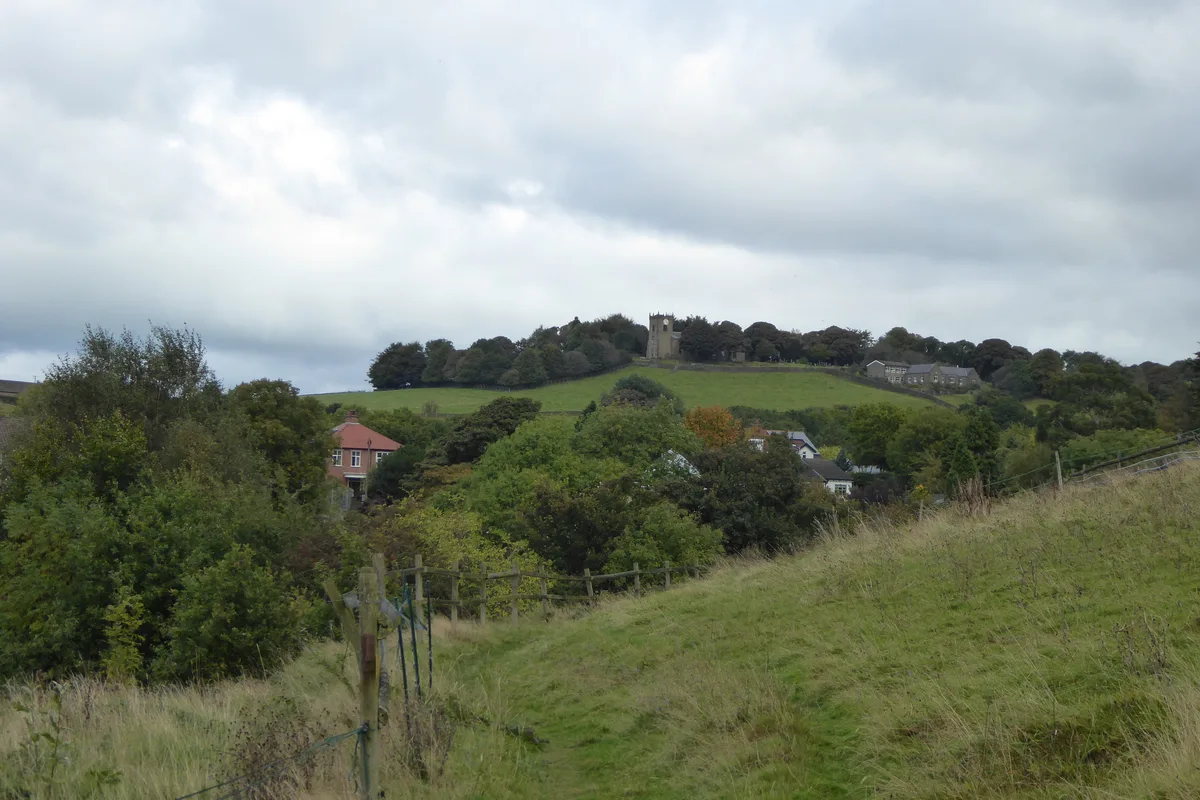
Mellor hill fort
Mellor hill fort — prehistoric site in North West England.
 📷 3
📷 3Hill forts · Yorkshire & the Humber
Stockport Castle
Stockport Castle — former motte-and-bailey castle in Stockport, Cheshire.
 📷 3
📷 3Hill forts · Yorkshire & the Humber
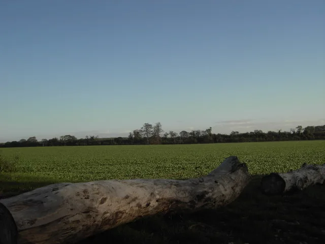
Aberford Dykes
Aberford Dykes — series of archaeological earthworks.
 📷 3
📷 3Hill forts · Yorkshire & the Humber
Cataractonium
Cataractonium — Roman fort and settlement in Catterick, located in North Yorkshire, England.
Frequently asked questions
- Where is Wade's Causeway?
- Wade's Causeway is in Yorkshire, United Kingdom (postcode YO22 5AP), in the parish of Goathland.
- What is Wade's Causeway?
- Wade's Causeway — Sinuous, linear monument in the North York Moors national park in North Yorkshire, England.
- How do I get to Wade's Causeway?
- The nearest railway station is Newton Dale Halt, about 4.1 km away. Drivers can use postcode YO22 5AP.
- Who owns Wade's Causeway?
- Wade's Causeway is owned by Duchy of Lancaster and operated by English Heritage.
- Is Wade's Causeway a listed building?
- Wade's Causeway is officially recognised as scheduled monument listed.
- Is Wade's Causeway a protected site?
- Yes — Wade's Causeway is part of the North York Moors SSSI Site of Special Scientific Interest and the Newtondale SSSI Site of Special Scientific Interest.
- Is Wade's Causeway free to visit?
- Yes, Wade's Causeway is free to enter.
- How do I get to Wade's Causeway?
- The nearest railway station is Newton Dale Halt, about 4.1 km away. Drivers can navigate to postcode YO22 5AP.