
Hill forts · Yorkshire & the Humber
Aberford Dykes
In or near Scarcroft.
Aberford Dykes — series of archaeological earthworks.

Wikimedia Commons contributors — see linked file page for photographer and licence licence

Plan your visit
- Typical visit
- 1 h–2 h
- Nearest railway station
- Garforth · 4.6 km
- Free entry
- Dog-friendly
About
Aberford Dykes is a hill fort in the United Kingdom. Wikidata describes it as: "series of archaeological earthworks". Coordinates: 53.8367°, -1.3677°.
Photo gallery
From the Wikipedia article
The Aberford Dykes are a series of archaeological monuments located around the valley of the Cock Beck, where it runs just north of the village of Aberford on the border between North and West Yorkshire, England. The complex consists of three individual earthworks: Becca Banks/the Ridge, the South Dyke, and Woodhouse Moor Rein.
Excerpt from Wikipedia under CC BY-SA 4.0. See the source article linked in Sources below.
Background
History
The date and function of the Aberford Dykes are not known for sure. It seems likely that the monuments were built at different times, and possibly for different purposes. Becca Banks/the Ridge has a strongly defensive nature, and may have been built to control a ford over the Cock Beck. Becca Banks/the Ridge runs across the Roman road between Castleford and Tadcaster. However the sequential relationship between the earthwork and the Roman road is not known. Some suggest the monument was built to defend against a Roman invasion and the road was later built right through it. Earlier writers thought the monument was built to protect the road, possibly in the 'Dark Ages' by the Kingdom of…
Description
As scheduled monuments, the Aberford Dykes are legally protected. They still have a role in the modern landscape, serving as field boundaries and marking county and parish boundaries. Much of the length of the Aberford Dykes can be walked via the public footpaths that run along them.
Sourced from Wikipedia under CC BY-SA 4.0.
- Coordinates
- 53.8367, -1.3677
- District
- Leeds
- Parish
- Parlington
- Postcode
- LS25 3BL
- Parliamentary constituency
- Wetherby and Easingwold
- Nearest railway station
- Garforth — 4.6 km
Sources
- wikidata: Q4667073 (CC0)
- wikipedia: Aberford Dykes (CC BY-SA 4.0)
- commons: The Woodhouse Moor Rein - geograph.org.uk - 270765.jpg (CC BY-SA 4.0)
Other places nearby

Potterton Bridge
Historic bridges · 1.5 km

Wendell Hill Iron Age Ditch & Bank
Archaeological sites · 1.7 km

Aberford
Museums · 1.8 km
.jpg?width=1200)
Aberford Bridge
Historic bridges · 1.8 km

Maypole
Memorials & monuments · 1.8 km
Barwick-in-Elmet War Memorial
Memorials & monuments · 1.8 km

Barwick-in-Elmet Castle
Vineyards · 1.8 km

Barwick-in-Elmet Castle
Castles · 2.0 km

Barwick in Elmet
Castles · 2.0 km
.JPG?width=1200)
Aberford War Memorial
Memorials & monuments · 2.3 km
.jpg?width=1200)
Temple Of Lead Lads
Memorials & monuments · 2.5 km

Battle of Seacroft Moor
Forts · 2.6 km
Nearby
📷 3Historic bridges · Yorkshire & the Humber
Potterton Bridge
Potterton Bridge — Grade II listed building-listed bridge in england-yorkshire, United Kingdom.
📷 3Archaeological sites · Yorkshire & the Humber
Wendell Hill Iron Age Ditch & Bank
Wendell Hill Iron Age Ditch & Bank — a archaeological in england-yorkshire, United Kingdom.
📷 5Museums · Yorkshire & the Humber
Aberford
Aberford is a village and civil parish on the eastern outskirts of the City of Leeds in West Yorkshire, England. It had a population of 1,059 at the 2001 census, increasing to 1,180 at the 2011 Census
📷 3Historic bridges · Yorkshire & the Humber
Aberford Bridge
Aberford Bridge is a historic bridge in the United Kingdom.
📷 5Memorials & monuments · Yorkshire & the Humber
Maypole
Maypole is a memorial in the United Kingdom.
📷 3Memorials & monuments · Yorkshire & the Humber
Barwick-in-Elmet War Memorial
Barwick-in-Elmet War Memorial — Grade II listed building-listed memorial in england-yorkshire, United Kingdom.
Where to eat & stay near Aberford Dykes
Places to stay
 📷 5
📷 5Caravan parks · Yorkshire & the Humber
Haighfield Caravan Park
Haighfield Caravan Park — a caravan park in england yorkshire.
 📷 5
📷 5Caravan parks · Yorkshire & the Humber
More Lodge Holiday Park
More Lodge Holiday Park — a caravan park in england yorkshire.
📷 5Campsites · Yorkshire & the Humber
More Lodge Holiday Park
More Lodge Holiday Park — a campsite in england yorkshire.
 📷 5
📷 5Campsites · Yorkshire & the Humber
Greenscapes Nusery Campsite
Greenscapes Nusery Campsite — a campsite in england yorkshire.
 📷 5
📷 5 📷 7
📷 7B&Bs · Yorkshire & the Humber
The Royal Oak
The Royal Oak — a bed-and-breakfast in england yorkshire.
Places to eat & drink
 📷 5
📷 5Historic pubs · Yorkshire & the Humber
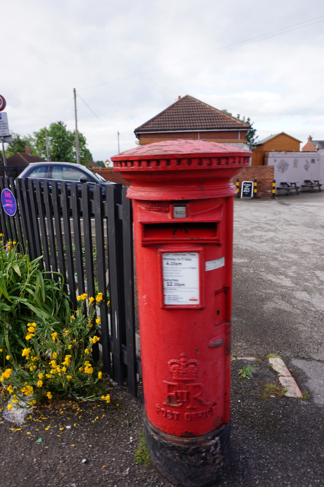
The Lord Gascoigne
The Lord Gascoigne in England Yorkshire, United Kingdom.
 📷 5
📷 5 📷 5
📷 5Historic pubs · Yorkshire & the Humber
Newmarket Inn
Newmarket Inn in England Yorkshire, United Kingdom.
 📷 5
📷 5 📷 7
📷 7Historic pubs · Yorkshire & the Humber
The Briggate
The Briggate in England Yorkshire, United Kingdom.
 📷 5
📷 5Historic pubs · Yorkshire & the Humber
The Bird In Hand
The Bird In Hand in England Yorkshire, United Kingdom.
More places in this region
 Flagship📷 3
Hill forts · Yorkshire & the Humber
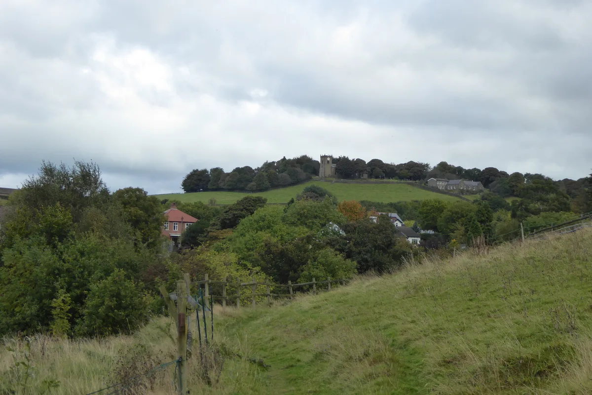
Mellor hill fort
Mellor hill fort — prehistoric site in North West England.
 📷 3
📷 3Hill forts · Yorkshire & the Humber
Stockport Castle
Stockport Castle — former motte-and-bailey castle in Stockport, Cheshire.
 📷 3
📷 3Hill forts · Yorkshire & the Humber
Cataractonium
Cataractonium — Roman fort and settlement in Catterick, located in North Yorkshire, England.
 📷 3
📷 3Hill forts · Yorkshire & the Humber
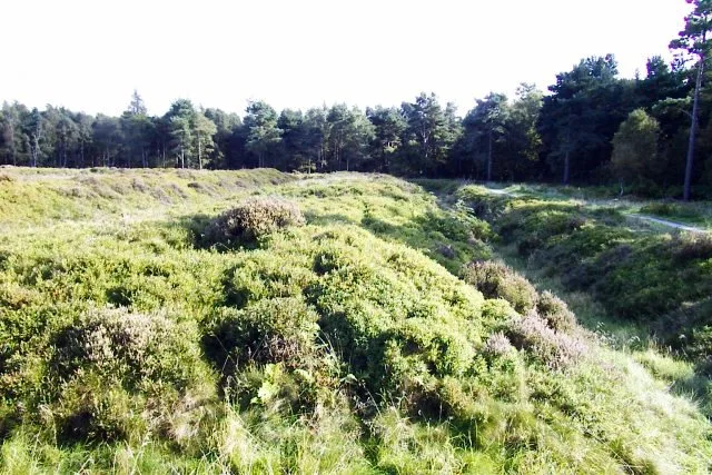
Cawthorne Camp
Cawthorne Camp — archaeological site in Cropton, Ryedale, England, UK.
Frequently asked questions
- Where is Aberford Dykes?
- Aberford Dykes is in Yorkshire, United Kingdom (postcode LS25 3BL), in the parish of Parlington.
- What is Aberford Dykes?
- Aberford Dykes — series of archaeological earthworks.
- How do I get to Aberford Dykes?
- The nearest railway station is Garforth, about 4.6 km away. Drivers can use postcode LS25 3BL.
- Is Aberford Dykes free to visit?
- Yes, Aberford Dykes is free to enter.
- How do I get to Aberford Dykes?
- The nearest railway station is Garforth, about 4.6 km away. Drivers can navigate to postcode LS25 3BL.