
Archaeological sites · Scottish Highlands
Ariundle Oakwood National Nature Reserve
Ariundle Oakwood National Nature Reserve — forested nature reserve in Highland, Scotland, UK.

Wikimedia Commons contributors — see linked file page for photographer and licence licence

Plan your visit
- Typical visit
- 45 min–1.5 h
- Free entry
- Dog-friendly
Getting there & planning your visit
Ariundle Oakwood National Nature Reserve is located in the Scottish Highlands, and there is no nearest railway station or postcode provided. Entry to the reserve is free.
About
Ariundle Oakwood National Nature Reserve is an archaeological site in the United Kingdom. Records date its origin to 1993. It covers approximately 70 km². Heritage designation: national nature reserve. Wikidata describes it as: "forested nature reserve in Highland, Scotland, UK". Coordinates: 56.7220°, -5.5310°.
Photo gallery
Summary from the official site
Ariundle Oakwood National Nature Reserve is a protected area known for its diverse natural habitats and wildlife. Visitors can explore the scenic woodlands and enjoy the tranquility of the natural environment.
Read more on the official property page.
From the Wikipedia article
Ariundle Oakwood (Scottish Gaelic: Àirigh Fhionndail, "the shieling of the white meadow") is situated to the north of the village of Strontian in the Sunart area of the Highlands of Scotland. It is located on the western side of the glen of the Strontian River, to the south of former lead mining sites that lie further up this glen. The wood is part of the ancient Sunart Oakwood, and is a remnant of ancient oakwoods that once spanned the Atlantic coasts of Europe from Norway to Portugal. It was designated as a National Nature Reserve in 1977, and is managed primarily by NatureScot, in conjunction with Forestry and Land Scotland, who own the land surrounding the National Nature Reserve. The reserve is classified as a Category IV protected area by the International Union for Conservation of Nature, and also forms part of both a Site of Special Scientific Interest and a Special Area of Conservation. NatureScot has provided two marked trails in the wood, both of which can be accessed from a car park near the entrance to the reserve. One path takes walkers through the woods on the north side of the reserve, visiting the site of a ruined croft and providing views up the glen to the hills beyond. The other trail visits the lower part of the woods, beside the river Strontian. The two routes can be combined to form a 5 km circular walk. Both marked trails utilise the main track through the nature reserve, which can also be used to visit the lead mines further up the glen, and forms the starting section of the most accessible route to Sgùrr Dhòmhnuill, a Corbett and the 17th highest relative peak in Britain and Ireland.
Excerpt from Wikipedia under CC BY-SA 4.0. See the source article linked in Sources below.
Background
History
The wood contains remains from earlier settlements in the Strontian area, including charcoal platforms, pony tracks, enclosure dykes, potato lazy beds, and old coppice trees. The people there were described as sluagh an torraidh bhain, or the people of the white hillock, with the settlement recorded as "Torban" in Clan Cameron records. Torban was abandoned to sheep farming in the early 19th century. From 1752, the wood was a source of charcoal for the Bonawe iron furnace on Loch Etive and locally in the lead mining industry. The oak trees were coppiced to ensure a steady of wood for the furnaces, and many of the mature oak trees are multi-stemmed as a result of this practice. In 1961,…
Sourced from Wikipedia under CC BY-SA 4.0.
- Coordinates
- 56.7220, -5.5310
- Address
- Strontian, Lochaber, Scotland
- Established
- 1993
- Official site
- sitelink.nature.scot
Sources
- wikidata: Q29467098 (CC0)
- wikipedia: Ariundle Oakwood (CC BY-SA 4.0)
- commons: Ariundle oakwoods - geograph.org.uk - 418470.jpg (CC BY-SA 4.0)
Featured in this guide
Other places nearby

Ariundle Oakwood National Nature Reserve
Forests & woodlands · 0.1 km

Beinn Ruighe Raonaill
Mountains & hills · 2.2 km

Ariundle Centre
Hostels · 2.4 km

Scotstown
Villages · 2.7 km

Drumnatorran Bridge
Historic bridges · 3.2 km
Anaheilt
Natural landmarks · 3.2 km

Sgùrr a' Bhuic
Mountains & hills · 3.4 km

Loch Doilot
Lakes · 3.4 km

Meall Iain
Mountains & hills · 3.5 km

Sunart Camping
Campsites · 3.5 km

Sunart
Reservoirs & lochs · 3.8 km

Strontian
Reservoirs & lochs · 3.9 km
Nearby
📷 5Forests & woodlands · Scottish Highlands
Ariundle Oakwood National Nature Reserve
Ariundle Oakwood National Nature Reserve is a forest or woodland in the United Kingdom.
📷 5Mountains & hills · Scottish Highlands
Beinn Ruighe Raonaill
Beinn Ruighe Raonaill — a hill or mountain in scotland highlands.
📷 5Hostels · Scottish Highlands
Ariundle Centre
Ariundle Centre — a hostel in scotland highlands.
📷 5📷 5Historic bridges · Scottish Highlands
Drumnatorran Bridge
Drumnatorran Bridge — category C listed building-listed bridge in scotland-highlands, United Kingdom.
📷 3Where to eat & stay near Ariundle Oakwood National Nature Reserve
Places to stay
📷 5Hostels · Scottish Highlands
Ariundle Centre
Ariundle Centre — a hostel in scotland highlands.
📷 5Campsites · Scottish Highlands
Sunart Camping
Sunart Camping — a campsite in scotland highlands.
 📷 6
📷 6Hotels · Scottish Highlands
The Strontian Hotel
The Strontian Hotel — a hotel in scotland highlands.
 📷 5
📷 5 📷 5
📷 5Caravan parks · Scottish Highlands
Bunree Caravan Club Site
Bunree Caravan Club Site — a caravan park in scotland highlands.
 📷 5
📷 5Campsites · Scottish Highlands
Achindarroch Touring Park
Achindarroch Touring Park — a campsite in scotland highlands.
Other archaeological sites from this era
 Flagship📷 10
Archaeological sites · South East England
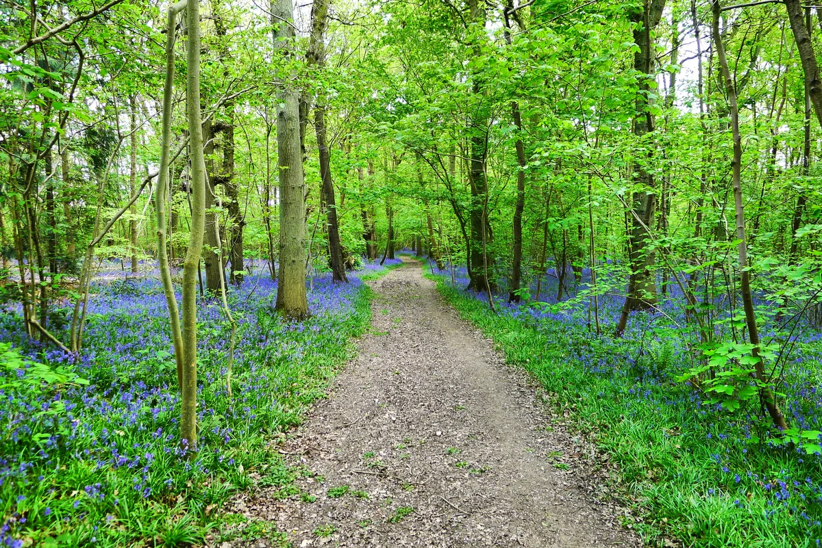
Bisham Woods
Bisham Woods — woodland in Berkshire, England.
 Flagship📷 5
Archaeological sites · East Midlands
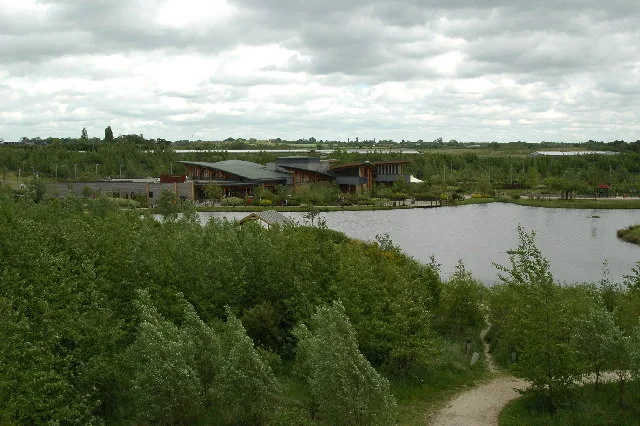
The National Forest
The National Forest — environmental project in central England.
 📷 3
📷 3Archaeological sites · West Midlands
Heart of England Forest
Heart of England Forest — UK non-governmental organization.
 Flagship📷 5
Archaeological sites · Northern Ireland
Tollymore Forest Park
Tollymore Forest Park — park in the United Kingdom.
More archaeological sites in this region
 📷 3
📷 3Archaeological sites · Scottish Highlands
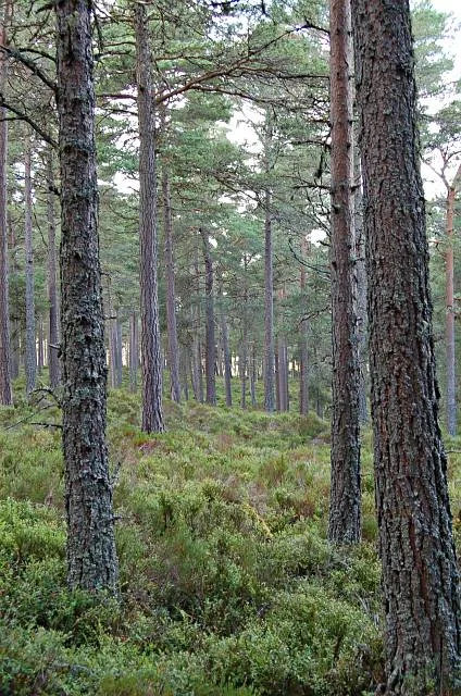
Abernethy Forest
Abernethy Forest — forest in Highland, Scotland, UK.
 📷 3
📷 3Archaeological sites · Scottish Highlands
Abriachan Forest
Abriachan Forest — Forest near Abriachan village in Scotland.
 📷 3
📷 3Archaeological sites · Scottish Highlands
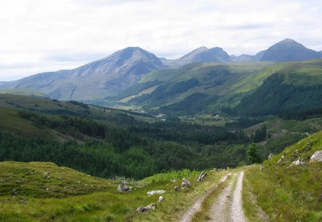
Achnashellach Forest
Achnashellach Forest is a archaeological site in the United Kingdom.
 📷 3
📷 3Archaeological sites · Scottish Highlands
Allean Forest
Allean Forest — forest in Perthshire, Scotland.
Frequently asked questions
- Where is Ariundle Oakwood National Nature Reserve?
- Ariundle Oakwood National Nature Reserve is in the Scottish Highlands, United Kingdom.
- What is Ariundle Oakwood National Nature Reserve?
- Ariundle Oakwood National Nature Reserve — forested nature reserve in Highland, Scotland, UK.
- How do I get to Ariundle Oakwood National Nature Reserve?
- Its coordinates are 56.7220°, -5.5310°.
- When was Ariundle Oakwood National Nature Reserve built?
- Built or established in 1993.
- Who owns Ariundle Oakwood National Nature Reserve?
- Ariundle Oakwood National Nature Reserve is owned by NatureScot.
- Is Ariundle Oakwood National Nature Reserve a listed building?
- Ariundle Oakwood National Nature Reserve is officially recognised as national nature reserve listed.
- Is Ariundle Oakwood National Nature Reserve free to visit?
- Yes, Ariundle Oakwood National Nature Reserve is free to enter.