
Historic houses · North West England
The Street
In or near Haigh.
The Street — house in Heath Charnock, Lancashire, England, UK.

Wikimedia Commons contributors — see linked file page for photographer and licence licence

Plan your visit
- Typical visit
- 1 h–2 h
- Nearest railway station
- Adlington · 2.9 km
- Family-friendly
- Limited wheelchair access
Getting there & planning your visit
To visit The Street, the nearest railway station is Adlington, located 2.9 km away. The postcode for sat-nav is PR6 9HD. Accessibility is limited for wheelchair users.
About
The Street is a historic house in the United Kingdom — typically a country seat, manor, or town house with notable architecture or history. Wikidata describes it as: "house in Heath Charnock, Lancashire, England, UK". Coordinates: 53.6336°, -2.5762°.
Photo gallery
Protected designations
- Site of Special Scientific Interest: West Pennine Moors SSSI
Designations sourced from Natural England open data under OGL v3.
From the Wikipedia article
The Street is a historical property on a bridleway of the same name in Heath Charnock in the Borough of Chorley, Lancashire, England. It is located on the western banks of the Upper Rivington reservoir and close to the boundary with the village of Rivington. It has been converted to apartments. Alexander Street took his name from the property when he was the owner of the estate in 1534. After his death, a distant cousin attempted to gain control of the building, but was evicted after a presumptuous attempt to act as a guardian to the deceased's children. After the reservoir was built in 1850, the house was demolished and rebuilt with compensation from Liverpool Corporation. In 1853, the property was owned by Peter Martin, who also owned Street Wood and Blindhurst Farm. Major renovation was undertaken, including vineries in the expansive gardens. Chorley Borough Council considered demolishing the structure following the demolition of many other large historic buildings in the village. It was rebuilt and although the roof was removed, the ornate and distinct chimneys remained. Opposite the property is a pets' grave, paying tribute to a trio of cats and dogs that died between 1900 and 1902.
Excerpt from Wikipedia under CC BY-SA 4.0. See the source article linked in Sources below.
- Coordinates
- 53.6336, -2.5762
- County
- Lancashire
- District
- Chorley
- Parish
- Heath Charnock
- Postcode
- PR6 9HD
- Parliamentary constituency
- Chorley
- Nearest railway station
- Adlington — 2.9 km
Sources
- wikidata: Q7766989 (CC0)
- wikipedia: The Street (Heath Charnock) (CC BY-SA 4.0)
- commons: RivStreet.jpg (CC BY-SA 4.0)
Other places nearby
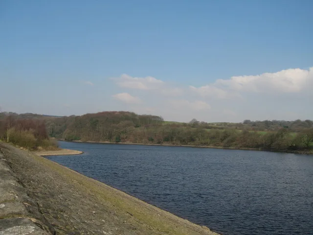
Upper Rivington Reservoir
Reservoirs & lochs · 0.6 km
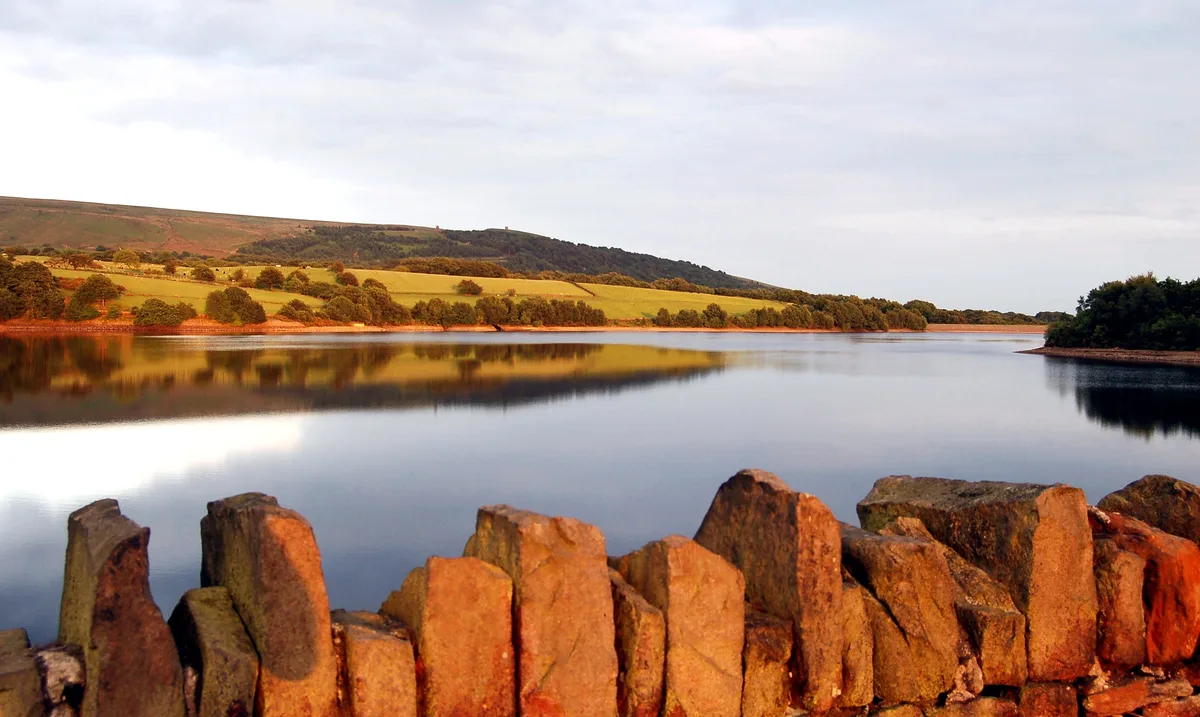
Yarrow Reservoir
Reservoirs & lochs · 0.6 km
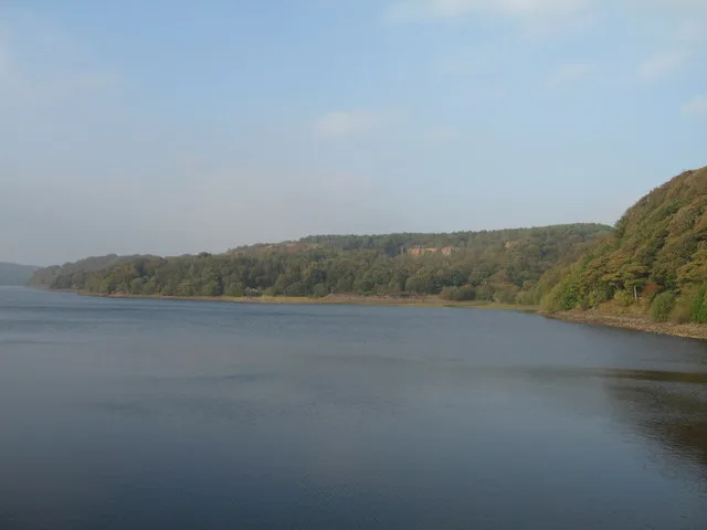
Anglezarke Reservoir
Reservoirs & lochs · 1.0 km

The Viewpoint
Viewpoints · 1.0 km
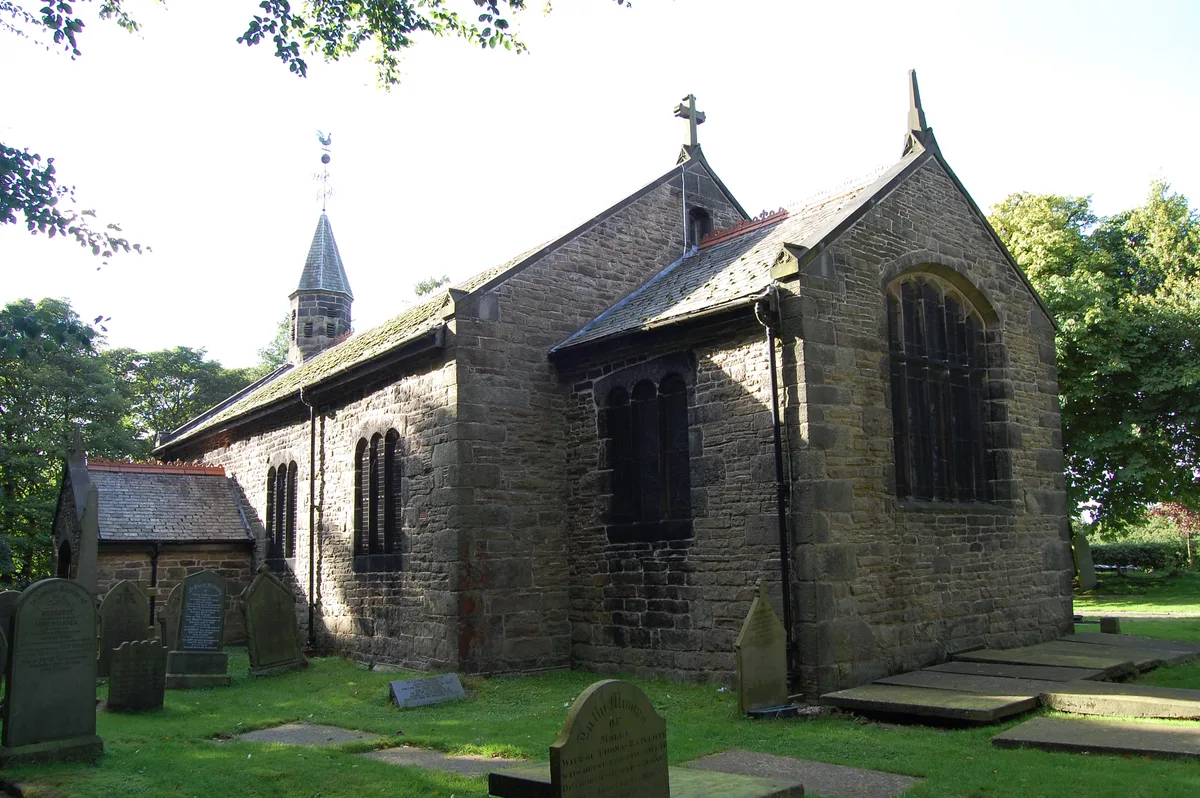
Rivington Church
Historic churches · 1.1 km

Rivington
Reservoirs & lochs · 1.1 km
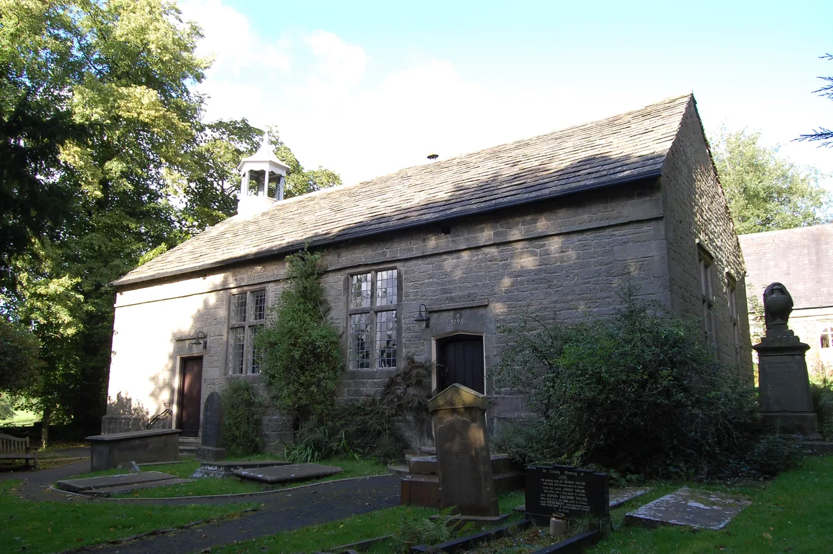
Rivington Unitarian Chapel
Historic churches · 1.2 km

Wilcocks Farm Caravan Park
Caravan parks · 1.2 km

Home Farm Caravan Site
Caravan parks · 1.3 km

Wellington Bomber Crew memorial
Memorials & monuments · 1.5 km
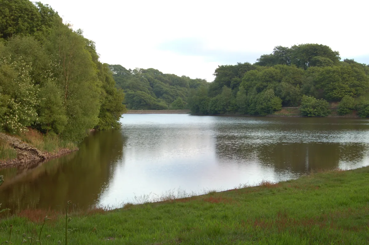
High Bullough Reservoir
Reservoirs & lochs · 1.5 km

Lead Mines
Archaeological sites · 1.5 km
Nearby
📷 3Reservoirs & lochs · North West England
Upper Rivington Reservoir
Upper Rivington Reservoir — reservoir in Lancashire, England, UK.
Flagship📷 5Reservoirs & lochs · North West England
Yarrow Reservoir
Yarrow Reservoir — reservoir in Lancashire, England, UK.
📷 3Reservoirs & lochs · North West England
Anglezarke Reservoir
Anglezarke Reservoir — reservoir in Lancashire, England, UK.
📷 3Viewpoints · North West England
The Viewpoint
The Viewpoint is a viewpoint in the United Kingdom.
📷 3Historic churches · North West England
Rivington Church
Rivington Church — church in Rivington, Lancashire, England, UK.
📷 5Reservoirs & lochs · North West England
Rivington
Rivington is a village and civil parish of the Borough of Chorley, Lancashire, England, occupying 2,538 acres (4.0 sq mi; 10.3 km2). It is about 6 miles (9.7 km) southeast of Chorley and about 8+1⁄2 m
Where to eat & stay near The Street
Places to stay
📷 5Caravan parks · North West England
Wilcocks Farm Caravan Park
Wilcocks Farm Caravan Park — a caravan park in england north west.
📷 5Caravan parks · North West England
Home Farm Caravan Site
Home Farm Caravan Site — a caravan park in england north west.
 📷 5
📷 5Campsites · North West England
Bibbys Farm Scout Camp
Bibbys Farm Scout Camp — a campsite in england north west.
 📷 5
📷 5Campsites · North West England
Primrose Cottage Camping
Primrose Cottage Camping — a campsite in england north west.
 📷 7
📷 7Hotels · North West England
Hartwood Hall Hotel
Hartwood Hall Hotel — a hotel in england north west. 3-star. Brand: Greene King.
 📷 7
📷 7Places to eat & drink
 📷 7
📷 7Historic pubs · North West England
Blundell Arms
Blundell Arms in England North West, United Kingdom.
 📷 5
📷 5Historic pubs · North West England
Bradley Hall Public House
Bradley Hall Public House in England North West, United Kingdom.
 📷 5
📷 5 📷 6
📷 6Historic pubs · North West England
Royal Oak Hotel
Royal Oak Hotel in England North West, United Kingdom.
 📷 7
📷 7Historic pubs · North West England
Eagle And Child Inn
Eagle And Child Inn in England North West, United Kingdom.
 📷 7
📷 7Historic pubs · North West England
The Whitesmiths Arms
The Whitesmiths Arms in England North West, United Kingdom.
More historic houses in this region
 📷 3
📷 3Historic houses · North West England
116 Hospital Street, Nantwich
116 Hospital Street, Nantwich — substantial townhouse in Nantwich, Cheshire, England, UK.
 📷 3
📷 3Historic houses · North West England
140–142 Hospital Street, Nantwich
140–142 Hospital Street, Nantwich — grade II listed building in Nantwich, Cheshire East, Cheshire, England, UK.
 📷 3
📷 3Historic houses · North West England
46 High Street, Nantwich
46 High Street, Nantwich — house in Nantwich, Cheshire, England, UK.
 📷 3
📷 3Historic houses · North West England
64, St Ann's Road
64, St Ann's Road — Grade II* listed house in Middlewich, Cheshire East, England, UK.
Frequently asked questions
- Where is The Street?
- The Street is in Lancashire, North-West England, United Kingdom (postcode PR6 9HD), in the parish of Heath Charnock.
- What is The Street?
- The Street — house in Heath Charnock, Lancashire, England, UK.
- How do I get to The Street?
- The nearest railway station is Adlington, about 2.9 km away. The nearest town is Haigh. Drivers can use postcode PR6 9HD.
- Is The Street a protected site?
- Yes — The Street is part of the West Pennine Moors SSSI Site of Special Scientific Interest.
- How do I get to The Street?
- The nearest railway station is Adlington, about 2.9 km away. Drivers can navigate to postcode PR6 9HD.