
Archaeological sites · North West England
Lead Mines
In or near Haigh.
Lead Mines — a archaeological in england-north-west, United Kingdom.

Philip Platt — CC BY-SA 2.0 via Wikimedia Commons licence

Plan your visit
- Typical visit
- 45 min–1.5 h
- Nearest railway station
- Adlington · 4.4 km
- Free entry
- Dog-friendly
About
Lead Mines is a archaeological located in england-north-west, United Kingdom. Sourced from OpenStreetMap (ODbL licence); see local listings for visitor information, opening hours and admission details.
Photo gallery
Official information
The Lead Mines memorial commemorates the crew of the Wellington Bomber Z8799 that crashed on Anglezarke Moor during World War II. It features a metal column with an inscription honoring the six individuals who lost their lives in the incident.
Protected designations
- Site of Special Scientific Interest: West Pennine Moors SSSI
Designations sourced from Natural England open data under OGL v3.
Place summary
Lead Mines are an archaeological site located in North-West England. They are notable for their historical significance in lead extraction and processing, contributing to the region's industrial heritage. The site reflects the extensive mining activities that took place in the area.
AI-generated from the structured facts on this page (operator, designation, listing, era). Not a substitute for visiting.
- Coordinates
- 53.6438, -2.5607
- County
- Lancashire
- District
- Chorley
- Parish
- Anglezarke
- Postcode
- PR6 9DQ
- Parliamentary constituency
- Chorley
- Nearest railway station
- Adlington — 4.4 km
- Official site
- www.iwm.org.uk
Sources
- osm: node/1988307274 (ODbL)
Other places nearby

Wellington Bomber Crew memorial
Memorials & monuments · 0.0 km

Pikestones
Follies · 0.7 km
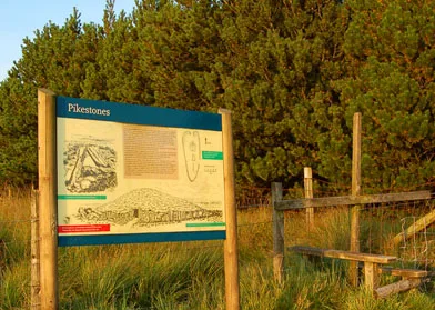
Pikestones
Hill forts · 0.8 km

Wilcocks Farm Caravan Park
Caravan parks · 0.9 km
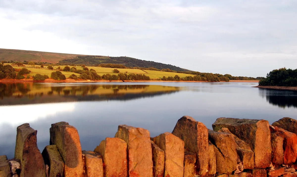
Yarrow Reservoir
Reservoirs & lochs · 1.0 km

The Viewpoint
Viewpoints · 1.1 km
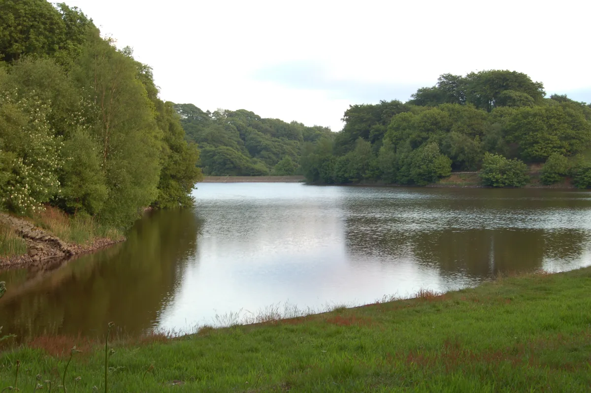
High Bullough Reservoir
Reservoirs & lochs · 1.2 km
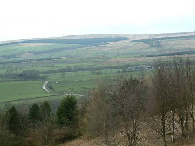
Hurst Hill
Natural landmarks · 1.4 km
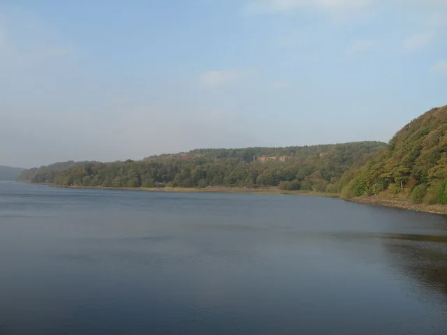
Anglezarke Reservoir
Reservoirs & lochs · 1.5 km

The Street
Historic houses · 1.5 km

Lower Hempshaw's Ruins
Historic houses · 1.6 km

Grain Pole Hill
Natural landmarks · 1.6 km
Nearby
📷 3Memorials & monuments · North West England
Wellington Bomber Crew memorial
Wellington Bomber Crew memorial is a memorial in the United Kingdom.
📷 3Follies · North West England
Pikestones
Pikestones — Historic tomb, BC 3400-2400.
📷 3Hill forts · North West England
Pikestones
Pikestones — chambered cairn in Anglezarke, Lancashire, England, UK.
📷 5Caravan parks · North West England
Wilcocks Farm Caravan Park
Wilcocks Farm Caravan Park — a caravan park in england north west.
Flagship📷 5Reservoirs & lochs · North West England
Yarrow Reservoir
Yarrow Reservoir — reservoir in Lancashire, England, UK.
📷 3Viewpoints · North West England
The Viewpoint
The Viewpoint is a viewpoint in the United Kingdom.
Where to eat & stay near Lead Mines
Places to stay
📷 5Caravan parks · North West England
Wilcocks Farm Caravan Park
Wilcocks Farm Caravan Park — a caravan park in england north west.
 📷 5
📷 5Caravan parks · North West England
Home Farm Caravan Site
Home Farm Caravan Site — a caravan park in england north west.
 📷 5
📷 5Campsites · North West England
Bibbys Farm Scout Camp
Bibbys Farm Scout Camp — a campsite in england north west.
 📷 5
📷 5Campsites · North West England
Primrose Cottage Camping
Primrose Cottage Camping — a campsite in england north west.
 📷 7
📷 7Hotels · North West England
Hartwood Hall Hotel
Hartwood Hall Hotel — a hotel in england north west. 3-star. Brand: Greene King.
 📷 5
📷 5Hotels · North West England
Bolton Georgian House Hotel
Bolton Georgian House Hotel — a hotel in england north west.
Places to eat & drink
 📷 7
📷 7Historic pubs · North West England
Blundell Arms
Blundell Arms in England North West, United Kingdom.
 📷 5
📷 5 📷 5
📷 5Historic pubs · North West England
Bradley Hall Public House
Bradley Hall Public House in England North West, United Kingdom.
 📷 7
📷 7Historic pubs · North West England
Eagle And Child Inn
Eagle And Child Inn in England North West, United Kingdom.
 📷 5
📷 5Historic pubs · North West England
Ye Olde Hob Inn
Ye Olde Hob Inn in England North West, United Kingdom.
 📷 6
📷 6Historic pubs · North West England
Royal Oak Hotel
Royal Oak Hotel in England North West, United Kingdom.
More archaeological sites in this region
 📷 3
📷 3Archaeological sites · North West England
Early medieval sculptural fragments in St Mary's churchyard
Early medieval sculptural fragments in St Mary's churchyard — archaeological site in Sandbach, Cheshire East, England, UK.
 📷 3
📷 3Archaeological sites · North West England
Gaddum's Wood
Gaddum's Wood is a archaeological site in the United Kingdom.
 📷 3
📷 3Archaeological sites · North West England
Marton moated monastic grange, three fishponds, connecting channels and base of stone cross
Marton moated monastic grange, three fishponds, connecting channels and base of stone cross — archaeological site in Whitegate and Marton, Cheshire West and Chester, England, UK.
 📷 3
📷 3Archaeological sites · North West England
St Oswalds Well
St Oswalds Well — a archaeological in england-west-midlands, United Kingdom.
Frequently asked questions
- Where is Lead Mines?
- Lead Mines is in Lancashire, North-West England, United Kingdom (postcode PR6 9DQ), in the parish of Anglezarke.
- What is Lead Mines?
- Lead Mines — a archaeological in england-north-west, United Kingdom.
- How do I get to Lead Mines?
- The nearest railway station is Adlington, about 4.4 km away. Drivers can use postcode PR6 9DQ.
- Is Lead Mines a protected site?
- Yes — Lead Mines is part of the West Pennine Moors SSSI Site of Special Scientific Interest.
- Is Lead Mines free to visit?
- Yes, Lead Mines is free to enter.
- How do I get to Lead Mines?
- The nearest railway station is Adlington, about 4.4 km away. Drivers can navigate to postcode PR6 9DQ.