
Mountains & hills · Scottish Islands
The Cuillin
Also known as: The Cuillin Hills, Black Cuillin, An Cuiltheann, Menydhyow an Cuiltheann
Skye's gabbro mountain range — Britain's most demanding peaks.

Katie Barrett katiebarrett — CC0 via Wikimedia Commons licence
.jpg)
Plan your visit
- Typical visit
- 3 h–8 h
- Best time of year
- Late spring – early autumn (May–Oct)
- Free entry
- Dog-friendly
Getting there & planning your visit
The Cuillin is located in the Scottish Islands at latitude 57.2167 and longitude -6.2167, and there is no nearest railway station or postcode provided. Entry is free. Accessibility details are not specified.
About
The Cuillin is the dramatic gabbro mountain range on the Isle of Skye — the most demanding mountain country in the British Isles, with 12 Munros and the Cuillin Ridge traverse considered the hardest mountaineering route at this scale in the UK. The dark gabbro of the Black Cuillin (in contrast to the pale granite of the rounded Red Cuillin to the east) is unique in Britain and a magnet for technical climbers.
Photo gallery
From the Wikipedia article
The Cuillin (Scottish Gaelic: An Cuiltheann) is a range of mostly jagged rocky mountains on the Isle of Skye in Scotland. The main Cuillin ridge is also called the Black Cuillin to distinguish it from the Red Cuillin (na Beanntan Dearga), which lie to the east of Glen Sligachan. The peaks of the Black Cuillin are mainly composed of gabbro, a very rough igneous rock which provides a superb grip for mountaineers; and basalt, which can be very slippery when wet. The rocks forming the ridge of the Black Cuillin (and outliers such Blà Bheinn) are dark, particularly in the shade, but when in sunlight the Black Cuillin can appear grey to brown. The main ridge forms a narrow crest, with steep cliffs and scree slopes. The ridge is about 14 kilometres (8+1⁄2 miles) long (from Gars-bheinn in the south to Sgùrr nan Gillean in the northeast), and curves in an irregular semi-circle around Loch Coruisk, which lies at the heart of the range. The highest point of the Cuillin, and of the Isle of Skye, is Sgùrr Alasdair in the Black Cuillin at 992 m (3,255 ft). The Red Cuillin are mainly composed of granite, which is paler than the gabbro (with a reddish tinge from some angles in some lights) and has weathered into more rounded hills with vegetation cover to summit level and long scree slopes on their flanks. These hills are lower and, being less rocky, have fewer scrambles or climbs. The highest point of the red hills is Glamaig at 775 m (2,543 ft), one of only two Corbetts on Skye (the other being Garbh-bheinn, part of the small group of gabbro outliers surrounding Blà Bheinn). The scenic beauty of the Cuillin has led to it being designated a national scenic area, one of forty such areas in Scotland. A Scottish Natural Heritage review of the special qualities of the Cuillin stated: The mountains rise up dramatically from the sea creating formidable, enclosed sea lochs, with the absence of foothills enhancing their vast scale. Many iconic views of Scotland are centred here, whether…
Excerpt from Wikipedia under CC BY-SA 4.0. See the source article linked in Sources below.
Background
History
towards Sligachan on the Isle of Skye, Scotland.]] Due to the rocky nature of the Cuillin they have historically been of little use for agriculture: this contrasts with the majority of the highlands, where the hills were used to provide seasonal grazing for cattle and sheep. Despite the lack of earlier human presence in the hills themselves, there is much evidence of historic settlement in the surrounding glens, with prehistoric hut circles found in Glenbrittle, and a stone circle identified in Glen Sligachan. Rubha an Dùnain, an uninhabited peninsula to the south of the main ridge, has a variety of archaeological sites dating from the Neolithic onwards. There is a 2nd or 3rd millennium BC…
Sourced from Wikipedia under CC BY-SA 4.0.
- Coordinates
- 57.2167, -6.2167
- Address
- Isle of Skye, Highland, Scotland
- Established
- 1981
Sources
- manual: the-cuillin (manual)
- wikipedia: Cuillin (CC BY-SA 4.0)
Featured in these 3 guides
Itinerary
Britain's wild islands: 7 days in the Hebrides
Skye, Mull, Iona, Staffa — a slow island-hopping itinerary.
Itinerary
Skye & the Inner Hebrides
Cuillin, fairy pools, distillery — a Highland archetype.
Itinerary
Scottish Highlands road trip in 7 days
Inverness, Skye, Loch Ness, Glencoe and the West Highland Way.
Cinematic fly-through
Rendered from Environment Agency LIDAR (OGL v3) using Blender. Drag the timeline to scrub.
3D view
Drag to rotate · scroll to zoom · Copernicus DEM 30m / European Space Agency (CC BY 4.0)
Other places nearby
Cuillin Ridge
Climbing & bouldering crags · 0.0 km

Sgurr Mhic Choinnich
Mountains & hills · 0.9 km
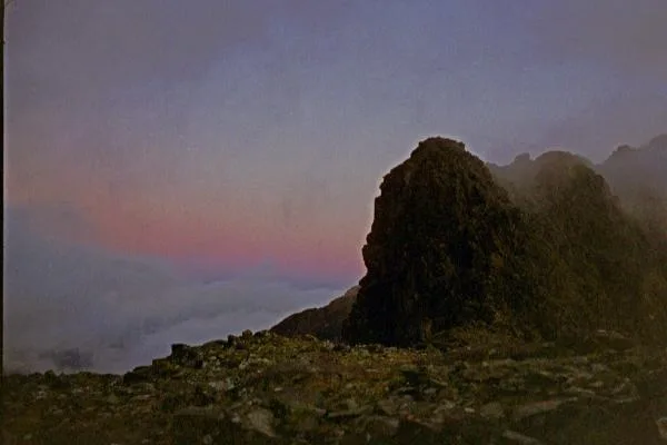
Sgùrr Mhic Choinnich
Mountains & hills · 1.0 km
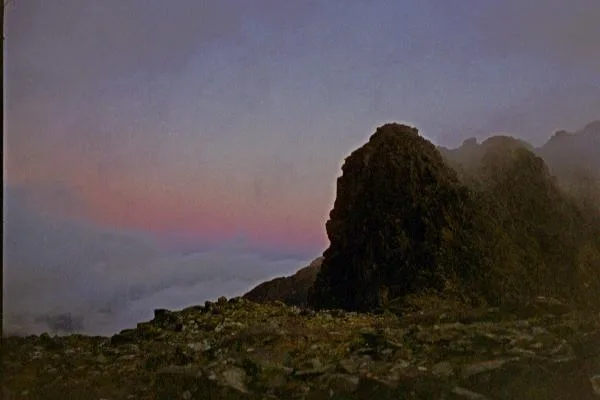
Sgùrr Mhic Choinnich
Natural landmarks · 1.0 km

Sgurr Dearg - Inaccessible Pinnacle
Mountains & hills · 1.1 km
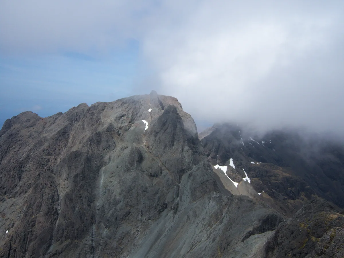
Sgùrr Dearg
Mountains & hills · 1.1 km
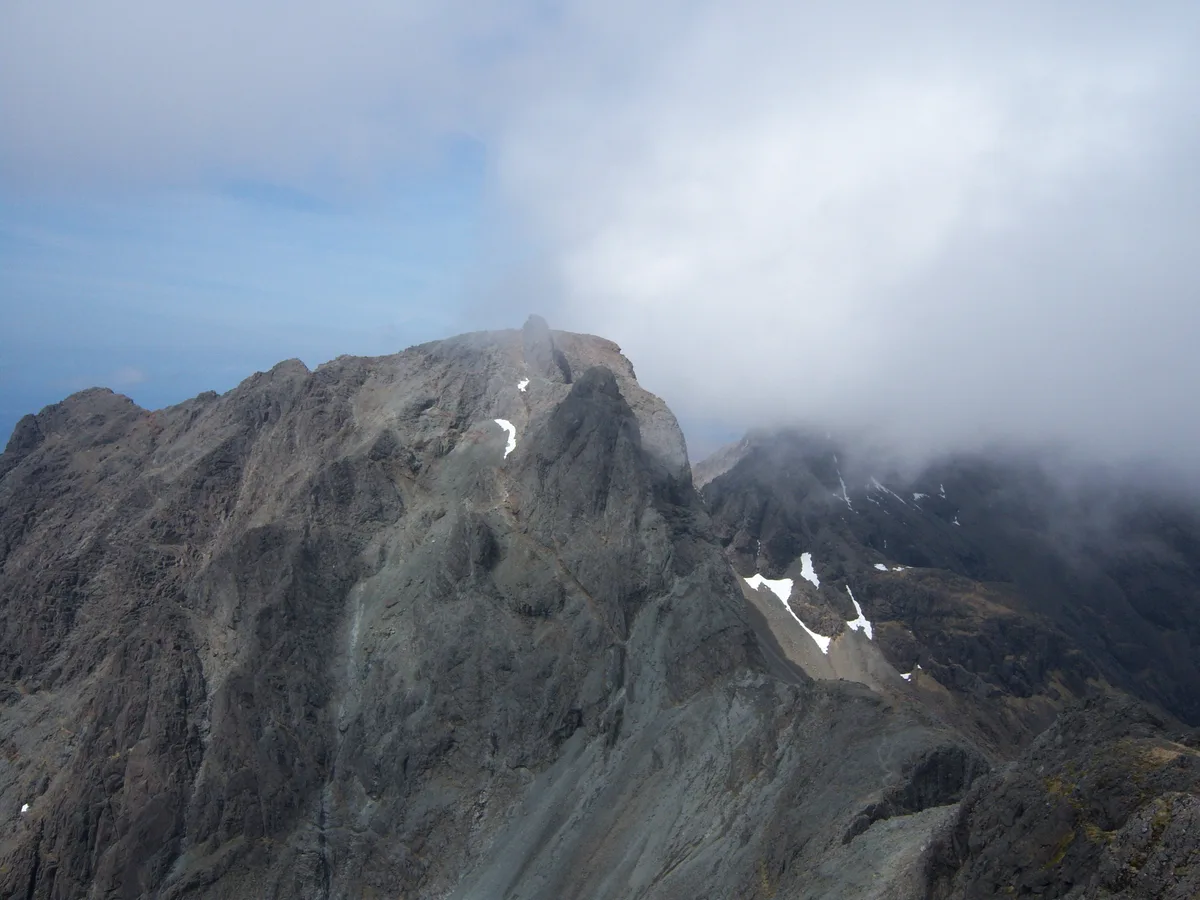
The Inaccessible Pinnacle
Mountains & hills · 1.1 km

Inaccessible Pinnacle
Mountains & hills · 1.2 km
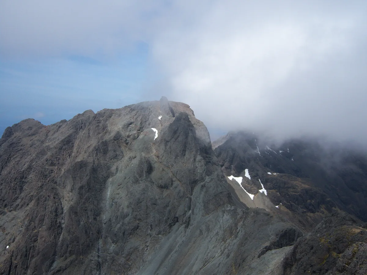
Sgùrr Dearg
Natural landmarks · 1.2 km

Sgùrr Theàrlaich
Mountains & hills · 1.2 km
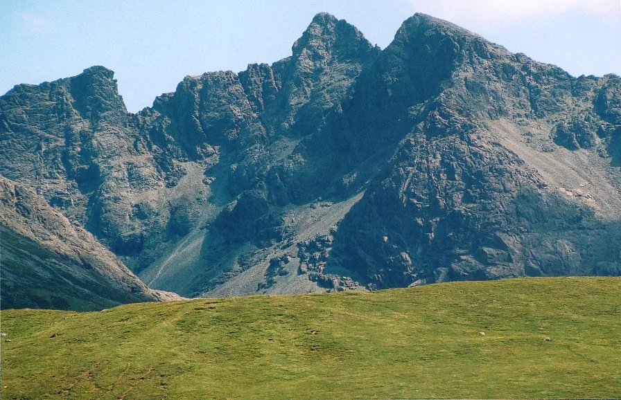
Sgùrr Alasdair
Mountains & hills · 1.2 km

Sgurr Alasdair
Mountains & hills · 1.2 km
Nearby
★ Iconic📷 5Climbing & bouldering crags · Scottish Islands
Cuillin Ridge
The UK's hardest single-day mountaineering route — 11km across Skye's Black Cuillin.
📷 5Mountains & hills · Scottish Islands
Sgurr Mhic Choinnich
Sgurr Mhic Choinnich — a hill or mountain in scotland highlands.
📷 5Mountains & hills · Scottish Islands
Sgùrr Mhic Choinnich
Sgùrr Mhic Choinnich — Named summit at 948 m.
📷 5Natural landmarks · Scottish Islands
Sgùrr Mhic Choinnich
Sgùrr Mhic Choinnich — 948m high mountain in Highland, Scotland, UK.
📷 5Mountains & hills · Scottish Islands
Sgurr Dearg - Inaccessible Pinnacle
Sgurr Dearg - Inaccessible Pinnacle — a hill or mountain in scotland highlands.
📷 3Mountains & hills · Scottish Islands
Sgùrr Dearg
Sgùrr Dearg — Named summit at 977 m.
Where to eat & stay near The Cuillin
Places to stay
 📷 5
📷 5Campsites · Scottish Islands
Glenbrittle Campsite
Glenbrittle Campsite — a campsite in scotland highlands.
 📷 5
📷 5Hostels · Scottish Islands
Glenbrittle Youth Hostel
Glenbrittle Youth Hostel — a hostel in scotland highlands. Brand: Hostelling Scotland.
 📷 5
📷 5Hostels · Scottish Highlands
Sligachan Bunkhouse
Sligachan Bunkhouse — a hostel in scotland highlands.
 📷 5
📷 5Campsites · Scottish Highlands
Sligachan Campsite
Sligachan Campsite — a campsite in scotland highlands.
 📷 5
📷 5 📷 5
📷 5Hostels · Scottish Islands
Croft Bunkhouse
Croft Bunkhouse — a hostel in scotland highlands.
More mountains in this region
 📷 3
📷 3Mountains & hills · Scottish Islands
Acairseid Mhor
Acairseid Mhor — bay in Outer Hebrides, Scotland, UK.
 📷 3
📷 3Mountains & hills · Scottish Islands
Ainshval
Ainshval — Named summit at 781 m.
 📷 3
📷 3 📷 5
📷 5Mountains & hills · Scottish Islands
An Cliseam
An Cliseam — Named summit at 799 m.
Frequently asked questions
- Where is The Cuillin?
- The Cuillin is in the Scottish Islands, United Kingdom.
- What is The Cuillin?
- Skye's gabbro mountain range — Britain's most demanding peaks.
- How do I get to The Cuillin?
- Its coordinates are 57.2167°, -6.2167°.
- When was The Cuillin built?
- Built or established in 1981.
- Who owns The Cuillin?
- The Cuillin is owned by NatureScot.
- Is The Cuillin free to visit?
- Yes, The Cuillin is free to enter.