
Towns & cities · Northern Ireland
Strangford
Also known as: Baile Loch Cuan
Strangford — village in County Down, Northern Ireland, United Kingdom.
.JPG?width=1200)
Wikimedia Commons contributors — see linked file page for photographer and licence licence
.JPG)
Plan your visit
- Typical visit
- 3 h–6 h
- Nearest railway station
- Delamont · 8.0 km
- Free entry
- Family-friendly
- Dog-friendly
Getting there & planning your visit
To visit Strangford, the nearest railway station is Delamont, which is 8 km away. Entry to the town is free.
About
Strangford is a town, city, village or settlement in the United Kingdom. Recent population estimates put it at around 474 people. Address: BT30. Wikidata describes it as: "village in County Down, Northern Ireland, United Kingdom". Coordinates: 54.3707°, -5.5555°.
Photo gallery
See it from the streetimagery from 2025
Imagery © Mapillary contributors, CC BY-SA 4.0
Official information
Strangford Castle is a small tower-house that dates back to the late 16th century, with evidence of earlier structures. Visitors can observe its unique architectural features, including a reconstructed entrance and various historical elements from its past.
From the Wikipedia article
Strangford (from Old Norse Strangr fjörðr, meaning "strong sea-inlet") is a small village at the mouth of Strangford Lough, on the Lecale peninsula in County Down, Northern Ireland. It had a population of 475 at the 2001 census. On the other side of the lough is Portaferry on the Ards Peninsula, and there is a ferry service between the two villages. The village has a small harbour, which is overlooked by rows of 19th-century cottages and a fine Georgian terrace.
Excerpt from Wikipedia under CC BY-SA 4.0. See the source article linked in Sources below.
Background
History
In 432, St Patrick is said to have sailed through the Strangford Narrows and up the Quoile Estuary, bringing Christianity with him. By the mid 6th century many monastic centres had been founded near Strangford and Strangford Lough including; Nendrum, Downpatrick, Comber and Kilclief. The Norse Vikings had been raiding villages, islands and monasteries in the British Isles since the late 8th century and founded many settlements. The first viking raid in Ireland was the burning of a monastery in 795 on Rathlin Island. The vikings had been regular visitors of Strangford Lough between the 9th and 11th centuries due to the attraction of riches found in monasteries and there is evidence that they…
Sourced from Wikipedia under CC BY-SA 4.0.
- Coordinates
- 54.3707, -5.5555
- District
- Newry, Mourne and Down
- Postcode
- BT30
- Parliamentary constituency
- Strangford
- Phone
- 028 9082 3207
- Population
- 474
- Nearest railway station
- Delamont — 8 km
- Official site
- www.communities-ni.gov.uk
Sources
- wikidata: Q149532 (CC0)
- wikipedia: Strangford (CC BY-SA 4.0)
- commons: The Square, Strangford, June 2011 (01).JPG (CC BY-SA 4.0)
Other places nearby
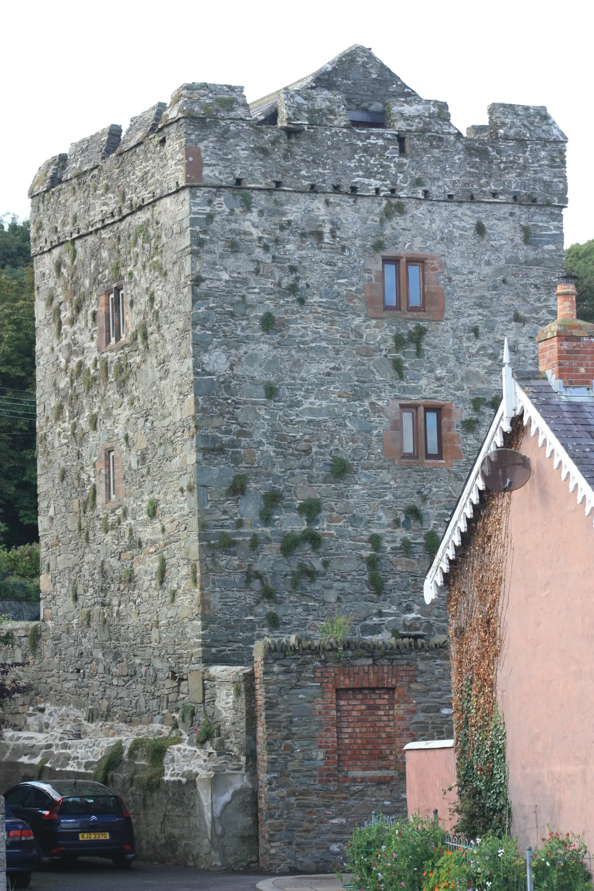
Strangford Castle
Castles · 0.1 km

SeaGen
Natural landmarks · 0.7 km

Portaferry Marina
Marinas · 0.9 km

Portaferry Marina
Natural landmarks · 0.9 km
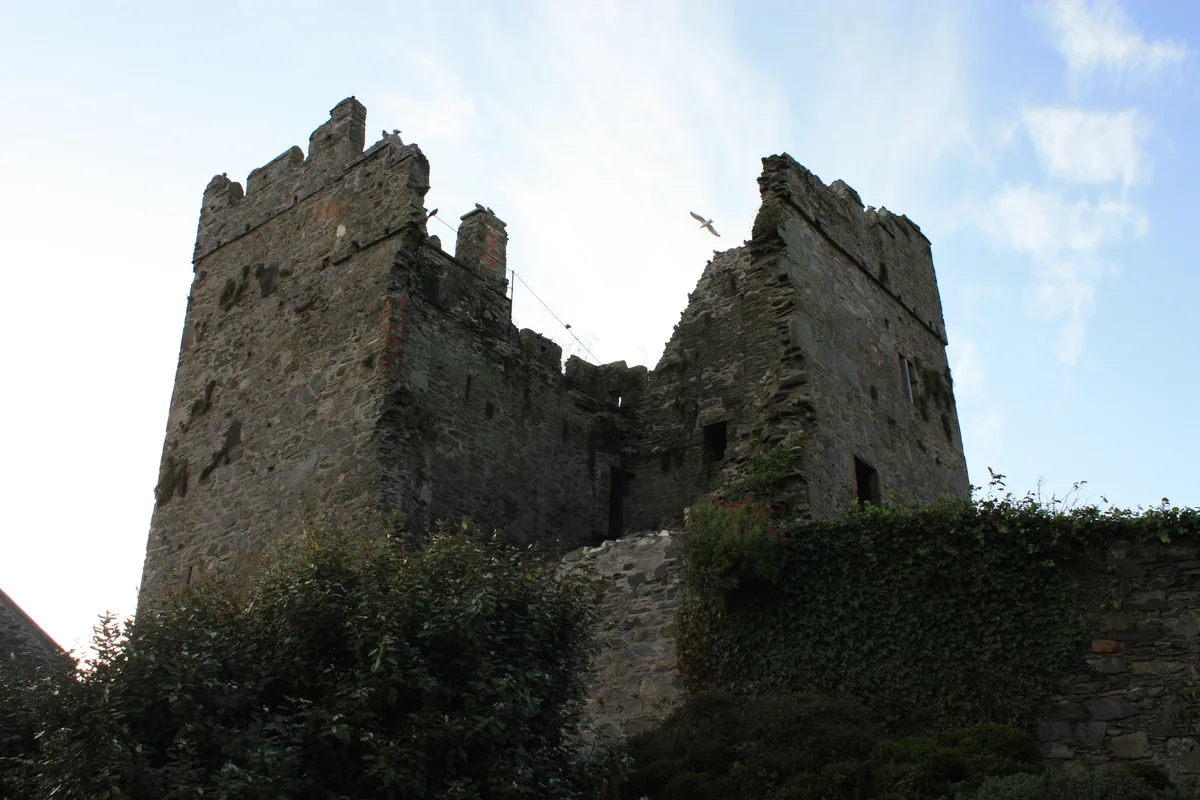
Portaferry Castle
Castles · 1.1 km

Castle Ward Caravan Park
Campsites · 1.1 km

Portaferry
Natural landmarks · 1.2 km

Portaferry Lifeboat Station
Natural landmarks · 1.2 km

Exploris Aquarium
Zoos & aquariums · 1.3 km
%2C_October_2009.JPG?width=1200)
Exploris
Zoos & aquariums · 1.3 km
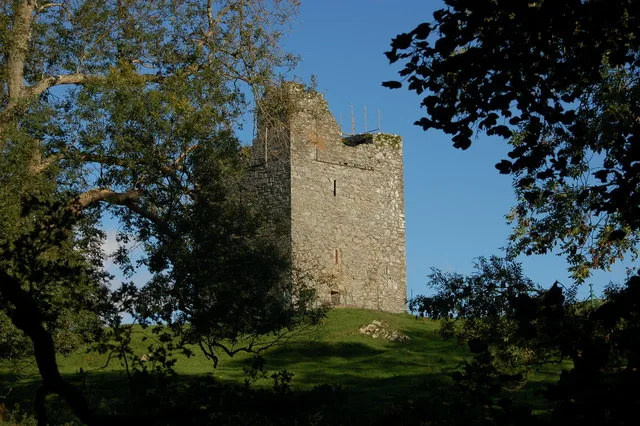
Audley's Castle
Castles · 1.5 km

Old Castle Ward
Literary houses · 1.5 km
Strangford is a village in Northern Ireland with a population of 474. Our guide lists several nearby attractions within reach.
At a glance
- Population
- 474
- Constituency
- Strangford
- Top categories near here
Things to see in Strangford
50 attractions within 12 km — showing the 24 most editorially-significant. Full guide: things to do in Strangford →
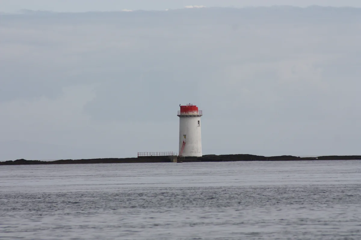
Lighthouses · Northern Ireland
Angus Rock Lighthouse
Angus Rock Lighthouse — lighthouse in Down District Council, Northern Ireland.
📷 5Castles · Northern Ireland
Audley's Castle
Audley's Castle — Irish Norman ruined tower castle.
 📷 3
📷 3Archaeological sites · Northern Ireland
Castleward Forest
Castleward Forest — castleward Forest: Northern Ireland.
📷 3Zoos & aquariums · Northern Ireland
Exploris
Exploris — aquarium in Portaferry, Northern Ireland.
 📷 3
📷 3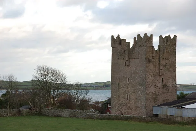 📷 5
📷 5 📷 3
📷 3Beaches · Northern Ireland
Mill Quarter Beach
Mill Quarter Beach is a beach in the United Kingdom.
📷 5Castles · Northern Ireland
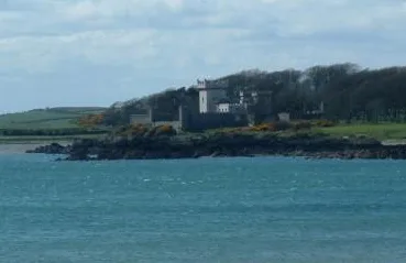
Portaferry Castle
Portaferry Castle — castle in Portaferry, County Down, Northern Ireland.
 📷 3
📷 3Castles · Northern Ireland
Quintin Castle
Quintin Castle — castle in Portaferry, County Down, Northern Ireland.
📷 3Castles · Northern Ireland
Strangford Castle
Strangford Castle is a castle in the United Kingdom.
📷 5Natural landmarks · Northern Ireland
Portaferry Marina
Portaferry Marina is situated in Portaferry, on the east shore of The Narrows (separating Portaferry and Strangford villages), the gateway to Strangford Lough, County Down, Northern Ireland. It is own
 📷 4
📷 4Natural landmarks · Northern Ireland
Audleystown Court Cairn
Audleystown Court Cairn in Northern Ireland, United Kingdom.
 📷 5
📷 5Castles · Northern Ireland
Castle Ward
Castle Ward in Northern Ireland, United Kingdom.
 📷 3
📷 3Historic churches · Northern Ireland
St Cooey’s Wells
St Cooey’s Wells in Northern Ireland, United Kingdom.
 📷 3
📷 3Natural landmarks · Northern Ireland
Ballyculter
Ballyculter in Northern Ireland, United Kingdom.
 📷 4
📷 4 📷 4
📷 4 📷 2
📷 2Natural landmarks · Northern Ireland
Acre McCricket
Acre McCricket in Northern Ireland, United Kingdom.
 📷 3
📷 3Natural landmarks · Northern Ireland
Ballyfounder Rath
Ballyfounder Rath in Northern Ireland, United Kingdom.
 📷 2
📷 2Natural landmarks · Northern Ireland
Derry Churches
Derry Churches in Northern Ireland, United Kingdom.
 📷 3
📷 3 📷 5
📷 5Natural landmarks · Northern Ireland
Ballyphilip
Ballyphilip in Northern Ireland, United Kingdom.
 📷 3
📷 3 📷 4
📷 4Nearby
📷 3Castles · Northern Ireland
Strangford Castle
Strangford Castle is a castle in the United Kingdom.
📷 4📷 5📷 5Natural landmarks · Northern Ireland
Portaferry Marina
Portaferry Marina is situated in Portaferry, on the east shore of The Narrows (separating Portaferry and Strangford villages), the gateway to Strangford Lough, County Down, Northern Ireland. It is own
📷 5Castles · Northern Ireland
Portaferry Castle
Portaferry Castle — castle in Portaferry, County Down, Northern Ireland.
📷 5Campsites · Northern Ireland
Castle Ward Caravan Park
Castle Ward Caravan Park — a campsite in northern ireland.
Where to eat & stay near Strangford
Places to stay
📷 5Campsites · Northern Ireland
Castle Ward Caravan Park
Castle Ward Caravan Park — a campsite in northern ireland.
 📷 5
📷 5Caravan parks · Northern Ireland
Strangford Holiday Park
Strangford Holiday Park — a caravan park in northern ireland.
 📷 5
📷 5Campsites · Northern Ireland
EDYC Caravan and Camping Area
EDYC Caravan and Camping Area — a campsite in northern ireland.
 📷 5
📷 5Campsites · Northern Ireland
Delamont Country Park
Delamont Country Park — a campsite in northern ireland.
 📷 4
📷 4Caravan parks · Northern Ireland
Quoile Yacht Club Caravan Park
Quoile Yacht Club Caravan Park — a caravan park in northern ireland.
 📷 3
📷 3Campsites · Northern Ireland
The Lodge at Quarterland Bay Camp Site
The Lodge at Quarterland Bay Camp Site — a campsite in northern ireland.
More towns in this region
 Flagship📷 5
Towns & cities · Northern Ireland
Bangor
Bangor — city in Northern Ireland, United Kingdom.
 Flagship📷 5
Towns & cities · Northern Ireland
Belfast
Belfast — capital city of Northern Ireland.
 Flagship📷 3
 Flagship📷 5
Towns & cities · Northern Ireland
Lisburn
Lisburn — city in Northern Ireland.
Frequently asked questions
- Where is Strangford?
- Strangford is in Northern Ireland, United Kingdom (postcode BT30).
- What is Strangford?
- Strangford — village in County Down, Northern Ireland, United Kingdom.
- How do I get to Strangford?
- The nearest railway station is Delamont, about 8.0 km away. Drivers can use postcode BT30.
- Is Strangford free to visit?
- Yes, Strangford is free to enter.
- How do I get to Strangford?
- Drivers can navigate to postcode BT30. It sits within the Strangford parliamentary constituency.