
Historic churches · Northern Ireland
St Cooey’s Wells
In or near Strangford.
St Cooey’s Wells in Northern Ireland, United Kingdom.

Eric Jones — CC BY-SA 2.0 via Wikimedia Commons licence

Plan your visit
- Typical visit
- 30 min–1 h
- Free entry
About
St Cooey’s Wells is a place of interest in Northern Ireland, United Kingdom — drawn from open-data sources for visitor reference. See the linked Wikipedia article for the full description.
Photo gallery
From the Wikipedia article
St Cooey's Wells, also called St Cowey's Wells, is the location of three holy wells, and the remains of a 7th century church; it is located in Tara Bay, near Portaferry, County Down. The site is dedicated to St Cooey (also known as St Cowey or St Cu'Mhaighe), a 7th century Irish saint. No documentary evidence about him exists; his legacy has been preserved through oral tradition.
Excerpt from Wikipedia under CC BY-SA 4.0. See the source article linked in Sources below.
Background
History
All that remains of St Cooey's 7th century church are the foundation stones. Known as Templecooey, it was once the parish church of Witter. Along with the foundation stones of the church, the gravestones of some early Christians have survived. Records from as early as the 13th century indicate that St Cooey's Wells was a major pilgrimage site, and the wells continued to attract large numbers of pilgrims up until the 18th century. Today, an annual pilgrimage to the site is organised on the Sunday that is closest to the feast day of St Peter and St Paul(29th June).
Sourced from Wikipedia under CC BY-SA 4.0.
- Coordinates
- 54.3508, -5.4996
- District
- Ards and North Down
- Postcode
- BT22 1RF
- Parliamentary constituency
- Strangford
- Established
- 1599
Sources
- wikidata: Q126714568 (CC0)
- wikipedia: St Cooey's Wells (CC BY-SA 4.0)
Other places nearby

Keentagh
Natural landmarks · 1.7 km
Millin Bay Cairn
Burial mounds & barrows · 2.0 km

Ballyfounder Rath
Natural landmarks · 2.0 km
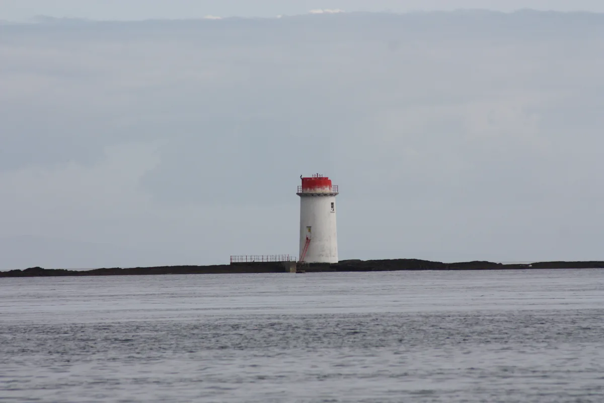
Angus Rock Lighthouse
Lighthouses · 2.7 km

Ballyphilip
Natural landmarks · 2.9 km
Quintin Castle
Castles · 3.0 km

Strangford Holiday Park Picnic Area
Parks · 3.2 km

Kilclief Beach
Beaches · 3.3 km

Kilclief Recreation/Picnic Area
Natural landmarks · 3.3 km

Strangford Holiday Park
Caravan parks · 3.3 km

SeaGen
Natural landmarks · 3.6 km

Ardgeehan
Natural landmarks · 3.7 km
Nearby
📷 4📷 3Burial mounds & barrows · Northern Ireland
Millin Bay Cairn
Millin Bay Cairn — a burial mound in northern-ireland, United Kingdom.
📷 3Natural landmarks · Northern Ireland
Ballyfounder Rath
Ballyfounder Rath in Northern Ireland, United Kingdom.
Lighthouses · Northern Ireland
Angus Rock Lighthouse
Angus Rock Lighthouse — lighthouse in Down District Council, Northern Ireland.
📷 5Natural landmarks · Northern Ireland
Ballyphilip
Ballyphilip in Northern Ireland, United Kingdom.
📷 3Castles · Northern Ireland
Quintin Castle
Quintin Castle — castle in Portaferry, County Down, Northern Ireland.
Where to eat & stay near St Cooey’s Wells
Places to stay
📷 5Caravan parks · Northern Ireland
Strangford Holiday Park
Strangford Holiday Park — a caravan park in northern ireland.
 📷 5
📷 5Campsites · Northern Ireland
Castle Ward Caravan Park
Castle Ward Caravan Park — a campsite in northern ireland.
 📷 4
📷 4Caravan parks · Northern Ireland
Quoile Yacht Club Caravan Park
Quoile Yacht Club Caravan Park — a caravan park in northern ireland.
 📷 5
📷 5Campsites · Northern Ireland
EDYC Caravan and Camping Area
EDYC Caravan and Camping Area — a campsite in northern ireland.
 📷 5
📷 5Campsites · Northern Ireland
Delamont Country Park
Delamont Country Park — a campsite in northern ireland.
 📷 3
📷 3Campsites · Northern Ireland
The Lodge at Quarterland Bay Camp Site
The Lodge at Quarterland Bay Camp Site — a campsite in northern ireland.
More places in this region
 📷 5
📷 5Historic churches · Northern Ireland
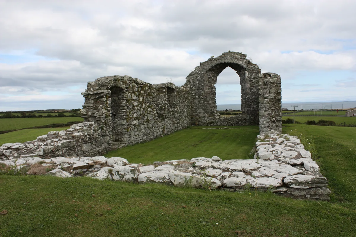
Ardtole Church
Ardtole Church — ruined church in County Down, Northern Ireland.
 📷 3
📷 3Historic churches · Northern Ireland
Ballylinney Presbyterian Church
Ballylinney Presbyterian Church — church building in United Kingdom.
 📷 3
📷 3Historic churches · Northern Ireland
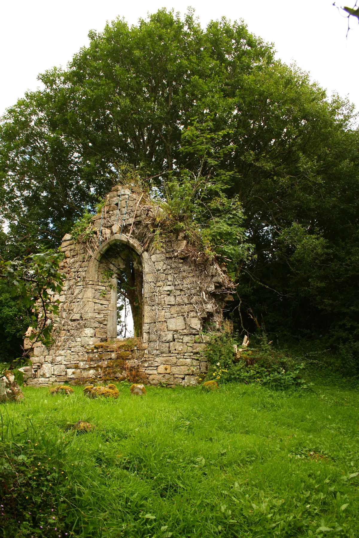
Carrick Church
Carrick Church — ruinous church in Fermanagh, Northern Ireland.
 📷 3
📷 3Historic churches · Northern Ireland
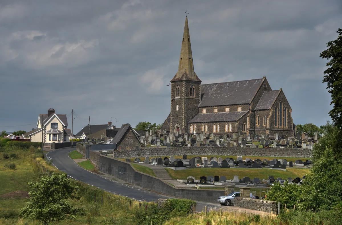
Drumcree Church
Drumcree Church — church building in Portadown, County Armagh, Northern Ireland.
Frequently asked questions
- Where is St Cooey’s Wells?
- St Cooey’s Wells is in Northern Ireland, United Kingdom (postcode BT22 1RF).
- What is St Cooey’s Wells?
- St Cooey’s Wells in Northern Ireland, United Kingdom.
- How do I get to St Cooey’s Wells?
- Drivers can use postcode BT22 1RF.
- When was St Cooey’s Wells built?
- Built or established in 1599.
- Is St Cooey’s Wells free to visit?
- Yes, St Cooey’s Wells is free to enter.
- How do I get to St Cooey’s Wells?
- Drivers can navigate to postcode BT22 1RF. It sits within the Strangford parliamentary constituency.