
Hill forts · South East England
Stonehenge Avenue
In or near Larkhill.
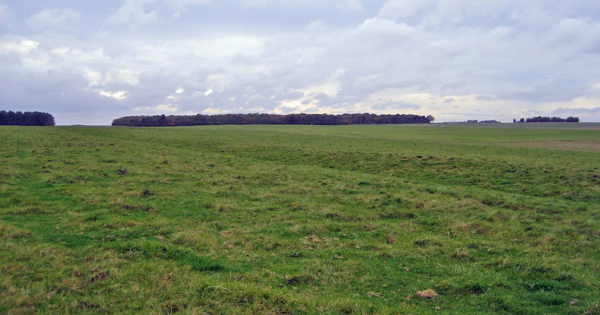
Stonehenge Avenue — ancient avenue on Salisbury plain, Wiltshire, England.

Wikimedia Commons contributors — see linked file page for photographer and licence licence

Plan your visit
- Typical visit
- 1 h–2 h
- Free entry
- Family-friendly
- Dog-friendly
- Wheelchair accessible
Getting there & planning your visit
To visit Stonehenge Avenue, use the postcode SP4 7DD for sat-nav. Entry is free, and the site is wheelchair accessible.
About
Stonehenge Avenue is a hill fort in the United Kingdom. Part of Stonehenge, Avebury and Associated Sites. Wikidata describes it as: "ancient avenue on Salisbury plain, Wiltshire, England". Coordinates: 51.1789°, -1.8253°.
Photo gallery
See it from the streetimagery from 2022
Imagery © Mapillary contributors, CC BY-SA 4.0
Summary from the official site
Stonehenge Landscape is a World Heritage Site featuring a complex of prehistoric monuments, including the iconic Stonehenge stone circle, the Avenue, and various burial mounds. Visitors can explore the expansive downland, which is rich in history and offers insights into Neolithic and Bronze Age ceremonial practices.
Read more on the official property page.
Protected designations
- Site of Special Scientific Interest: River Avon System SSSI
- Area of Outstanding Natural Beauty: Cranborne Chase & West Wiltshire Downs
Designations sourced from Natural England open data under OGL v3.
From the Wikipedia article
Stonehenge Avenue is an ancient avenue on Salisbury Plain, Wiltshire, England. It is part of the Stonehenge, Avebury and Associated Sites UNESCO World Heritage Site. Discovered in the 18th century, it measures nearly 3 kilometres, and connects Stonehenge with the River Avon. It was built during the Stonehenge 3 period of 2600 to 1700 BCE. Along some of its length, the avenue is aligned with the sunrise of the summer solstice, suggesting a time of most frequent use. In 2013 a section of A344 road was closed, which had cut through the avenue close to Stonehenge. After the road surface was removed, it was shown that although the avenue's banks had been sliced off, the filled-in ditches were still in evidence, confirming that the avenue continued through to the stone circle. At the end of the avenue, a ring of pits, referred to as Bluestonehenge, was discovered in 2009. No monoliths were found, and stone chips which were assumed to be of bluestone were later found to bear no relation to the bluestones at Stonehenge. Natural ice age grooves called periglacial stripes are present in the ground underneath the avenue. Mike Parker Pearson of the Stonehenge Riverside Project believes that the avenue was inspired by, and built over the top of, this existing natural formation of parallel rills which had a significant astronomical alignment. The presence of ridges and gullies that happened to line up with the solstice directions may have been venerated, leading the Neolithic people to later build Stonehenge at this particular site. The avenue, along with Stonehenge itself, is a scheduled monument, first designated in the 1882 act which was the earliest legislation to protect British archaeological sites.
Excerpt from Wikipedia under CC BY-SA 4.0. See the source article linked in Sources below.
- Coordinates
- 51.1789, -1.8253
- District
- Wiltshire
- Parish
- Amesbury
- Postcode
- SP4 7DD
- Parliamentary constituency
- East Wiltshire
- Phone
- +44 870 333 1181
- Opening
- Daily Dawn - Dusk
- Official site
- www.nationaltrust.org.uk
Sources
- wikidata: Q4443202 (CC0)
- wikipedia: Stonehenge Avenue (CC BY-SA 4.0)
- commons: The Avenue, Stonehenge.JPG (CC BY-SA 4.0)
Other places nearby
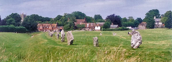
Stonehenge, Avebury and Associated Sites
UNESCO World Heritage · 0.0 km

Stone Hole 97
Memorials & monuments · 0.1 km
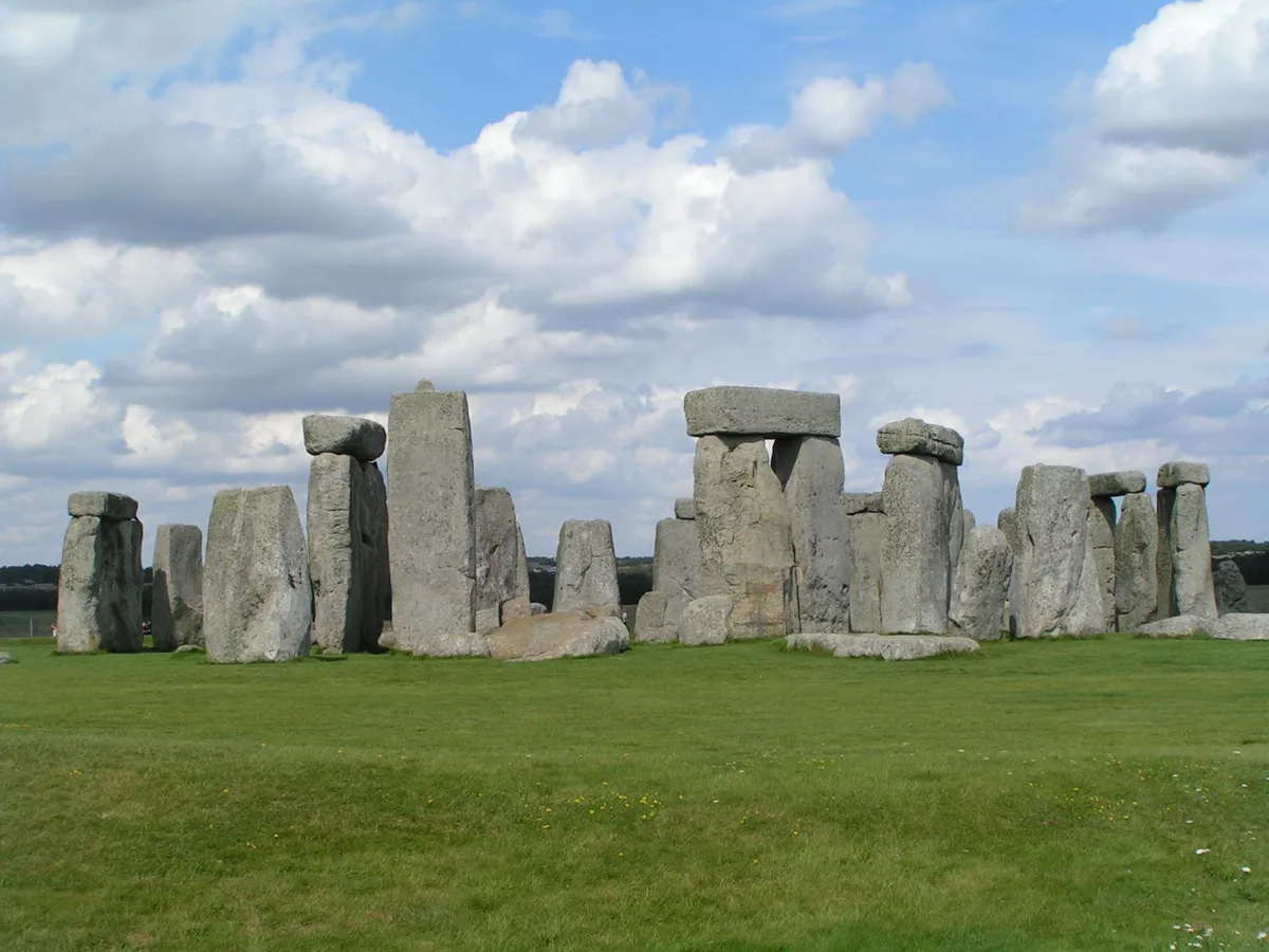
Stonehenge
UNESCO World Heritage · 0.1 km

Q and R Holes
Hill forts · 0.1 km

Station Stone
Memorials & monuments · 0.1 km

Aubrey Hole
Memorials & monuments · 0.1 km

Mesolitihic Wooden Post Hole
Memorials & monuments · 0.3 km

Stonehenge paid route
Natural landmarks · 0.3 km
Stonehenge see for free
Natural landmarks · 0.3 km
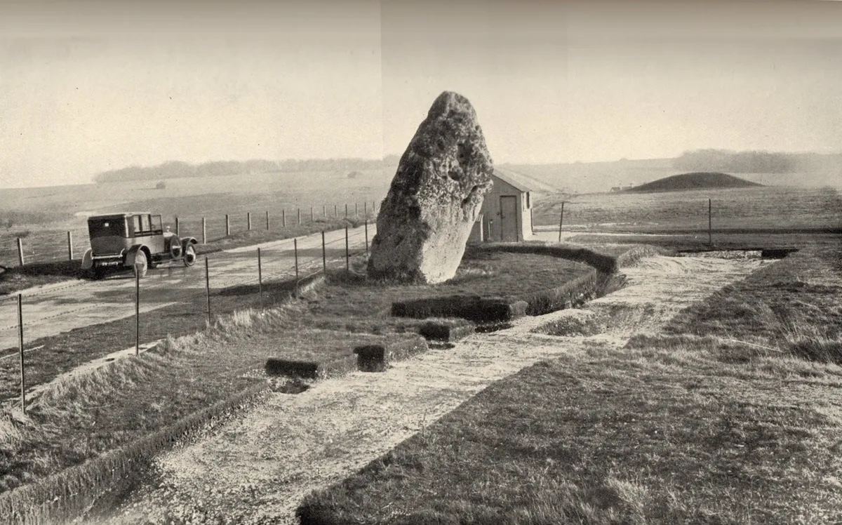
Heelstone Ditch
Hill forts · 0.6 km
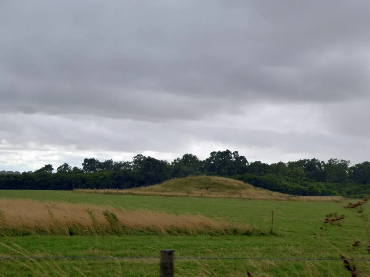
Normanton Down Barrows
Hill forts · 0.8 km
Stonehenge Cursus
UNESCO World Heritage · 0.8 km
Nearby
★ Iconic📷 10UNESCO World Heritage · South East England
Stonehenge, Avebury and Associated Sites
Stonehenge, Avebury and Associated Sites is a UNESCO World Heritage Site in the United Kingdom.
📷 5Memorials & monuments · South East England
Stone Hole 97
Stone Hole 97 — a memorial in england-south-east, United Kingdom.
Flagship📷 10UNESCO World Heritage · South East England
Stonehenge
Stonehenge — Neolithic henge monument in Amesbury, Wiltshire, England, UK.
📷 5Hill forts · South East England
Q and R Holes
Q and R Holes is a hill fort in the United Kingdom.
📷 5Memorials & monuments · South East England
Station Stone
Station Stone — a memorial in england-south-east, United Kingdom.
📷 5Memorials & monuments · South East England
Aubrey Hole
Aubrey Hole — a memorial in england-south-east, United Kingdom.
Where to eat & stay near Stonehenge Avenue
Places to stay
 📷 7
📷 7Hotels · South East England
Fairlawn House
Fairlawn House — a hotel in england south east.
 📷 5
📷 5Campsites · South West England
Stonehenge Campsite & Glamping
Stonehenge Campsite & Glamping — a campsite in england south east.
 📷 5
📷 5Campsites · South West England
Stonehenge Touring Park
Stonehenge Touring Park — a campsite in england south east.
 📷 5
📷 5Hostels · South East England
Cholderton Youth Hostel
Cholderton Youth Hostel — a hostel in england south east.
 📷 5📷 5
Places to eat & drink
 📷 5
📷 5 📷 5
📷 5Historic pubs · South West England
The Greyhound Tavern
The Greyhound Tavern in England South West, United Kingdom.
 📷 5
📷 5Historic pubs · South West England
Malet Arms
Malet Arms in England South West, United Kingdom.
 📷 7
📷 7Restaurants · South East England
The Old Castle
The Old Castle — a restaurant in england south east. Cuisine: american. Brand: Harvester.
 📷 5
📷 5Historic pubs · South West England
George and Dragon
George and Dragon in England South West, United Kingdom.
 📷 5
📷 5Historic pubs · South West England
The Royal George
The Royal George in England South West, United Kingdom.
More places in this region
 📷 5
📷 5Hill forts · South East England
Ankerwycke Priory
Ankerwycke Priory — Benedictine nunnery with associated moat and fishponds.
 📷 5
📷 5Hill forts · South East England
Shornemead Fort
Shornemead Fort — fort in Shorne, Kent, England, UK.
 📷 5
📷 5Hill forts · South East England
Smythe's Megalith
Smythe's Megalith — neolithic monument in Kent, England.
 📷 5
📷 5Hill forts · South East England
White Horse Stone
White Horse Stone — Two megaliths near Aylesford, Kent, England.
Frequently asked questions
- Where is Stonehenge Avenue?
- Stonehenge Avenue is in South-East England, United Kingdom (postcode SP4 7DD), in the parish of Amesbury.
- What is Stonehenge Avenue?
- Stonehenge Avenue — ancient avenue on Salisbury plain, Wiltshire, England.
- How do I get to Stonehenge Avenue?
- Drivers can use postcode SP4 7DD.
- Is Stonehenge Avenue a protected site?
- Yes — Stonehenge Avenue is part of the River Avon System SSSI Site of Special Scientific Interest and the Cranborne Chase & West Wiltshire Downs National Landscape (AONB).
- Is Stonehenge Avenue free to visit?
- Yes, Stonehenge Avenue is free to enter.
- How do I get to Stonehenge Avenue?
- Drivers can navigate to postcode SP4 7DD. It sits within the East Wiltshire parliamentary constituency.