
Hill forts · South East England
Q and R Holes
In or near Larkhill.
Q and R Holes is a hill fort in the United Kingdom.

Wikimedia Commons licence
Plan your visit
- Typical visit
- 1 h–2 h
- Free entry
- Family-friendly
- Dog-friendly
- Wheelchair accessible
About
Q and R Holes is a hill fort in the United Kingdom. Part of Stonehenge. Coordinates: 51.1788°, -1.8262°. This entry is part of The Great Britain Guide, a free, ad-free, open-data tourist directory.
Photo gallery
See it from the streetimagery from 2022
Imagery © Mapillary contributors, CC BY-SA 4.0
Official information
Stonehenge is a world-famous prehistoric monument and a UNESCO World Heritage Site located near Amesbury, Wiltshire. Visitors can explore the iconic stone circle, learn about the lives of the Neolithic builders through exhibitions, and enjoy the surrounding landscape.
Protected designations
- Site of Special Scientific Interest: River Avon System SSSI
- Area of Outstanding Natural Beauty: Cranborne Chase & West Wiltshire Downs
Designations sourced from Natural England open data under OGL v3.
From the Wikipedia article
The Q and R Holes are a series of concentric sockets which currently represent the earliest known evidence for a stone structure on the site of Stonehenge. Beneath the turf and just inside the later Sarsen Circle is a double arc of buried stoneholes, the only surviving evidence of the first stone structure (possibly a double stone circle) erected within the centre of Stonehenge (Figs.1 & 2) and currently regarded as instigating the period known as Stonehenge Phase 3i. This phase may have begun as early as 2600 BC, although recent radiocarbon dates from samples retrieved from one of the sockets in 2008 during excavations by Darvill and Wainwright suggest a date of around 2400 to 2300 BC. They made a partial excavation of Q Hole 13, where 'associations with Beaker pottery' were noted. Although first encountered by William Hawley in the 1920s, it was Richard Atkinson who formally identified and named these irregular settings in 1954: "In choosing this designation, I had in mind John Aubrey’s frequent use, as a marginal note…of the phrase 'quaere quot' – 'inquire how many' – which seemed appropriate to the occasion". Their place at the beginning of the stone monument phase has been recognized from their stratigraphic relationships: in places they were cut through by both the settings of the later and still partly surviving Bluestone Circle, and also by a stonehole dug for one of the uprights of the Sarsen Circle.
Excerpt from Wikipedia under CC BY-SA 4.0. See the source article linked in Sources below.
Background
Description
The diameter of the outer (Q) circuit is c. 26.2 m and that of the inner (R) is, 22.5 m; with an average spacing between the paired stone settings of 1.5 m. These trench-like intrusions are roughly 2 m long and 1 m wide, set radially and slightly enlarged at each end to provide paired stone sockets to a depth of around 0.6 m, the intervening strip generally re-filled with chalk rubble. Atkinson described them as being ‘dumb-bell’ shaped, although not all were of this form. The bases of some sockets bore "the impressions…of heavy stones" some with "minute chips of dolerite [i.e. bluestone] embedded". While this does not imply that only bluestones were used in the Q and R structure, he found…
Sourced from Wikipedia under CC BY-SA 4.0.
- Coordinates
- 51.1788, -1.8262
- District
- Wiltshire
- Parish
- Durrington
- Postcode
- SP4 8NU
- Parliamentary constituency
- East Wiltshire
- Phone
- +44 870 333 1181
- Opening
- Mon - Sun 9.30am - 6pm (last entry at 4pm)
- Official site
- www.english-heritage.org.uk
Sources
- wikidata: Q7265657 (CC0)
- wikipedia: Q and R Holes (CC BY-SA 4.0)
Other places nearby
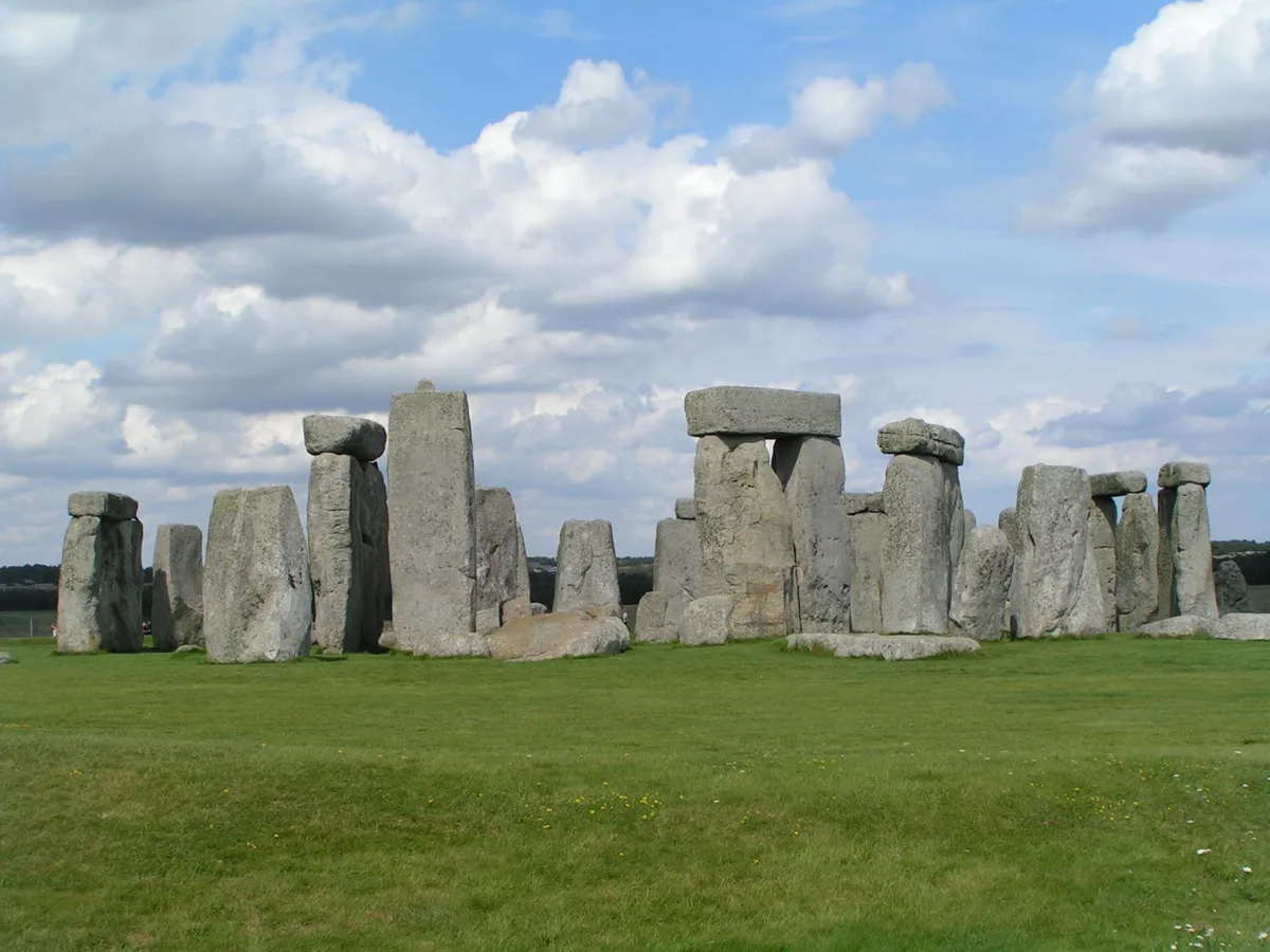
Stonehenge
UNESCO World Heritage · 0.0 km

Aubrey Hole
Memorials & monuments · 0.0 km

Station Stone
Memorials & monuments · 0.0 km
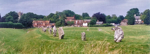
Stonehenge, Avebury and Associated Sites
UNESCO World Heritage · 0.1 km
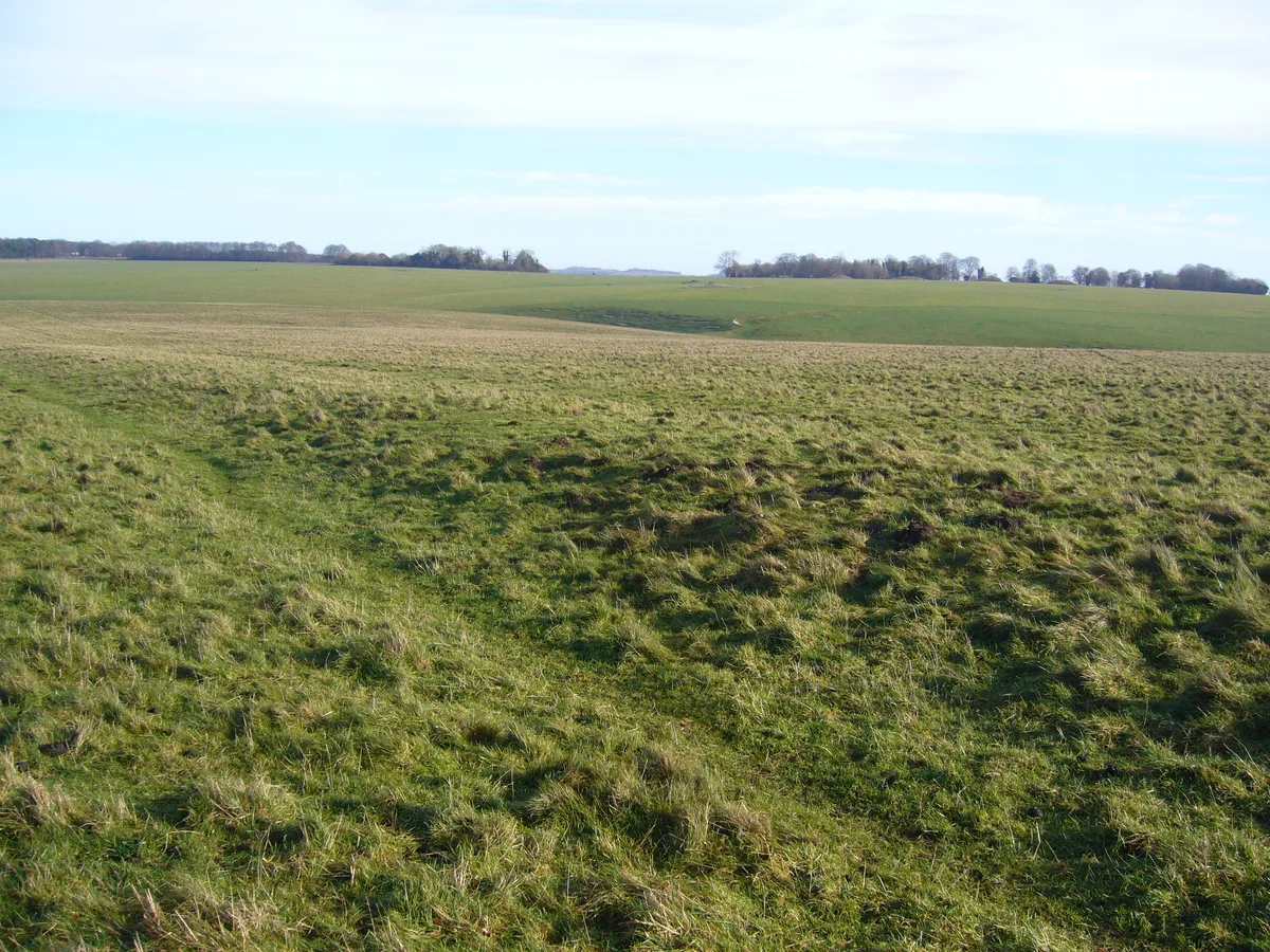
Stonehenge Avenue
Hill forts · 0.1 km

Stone Hole 97
Memorials & monuments · 0.1 km

Mesolitihic Wooden Post Hole
Memorials & monuments · 0.3 km

Stonehenge paid route
Natural landmarks · 0.3 km
Stonehenge see for free
Natural landmarks · 0.3 km
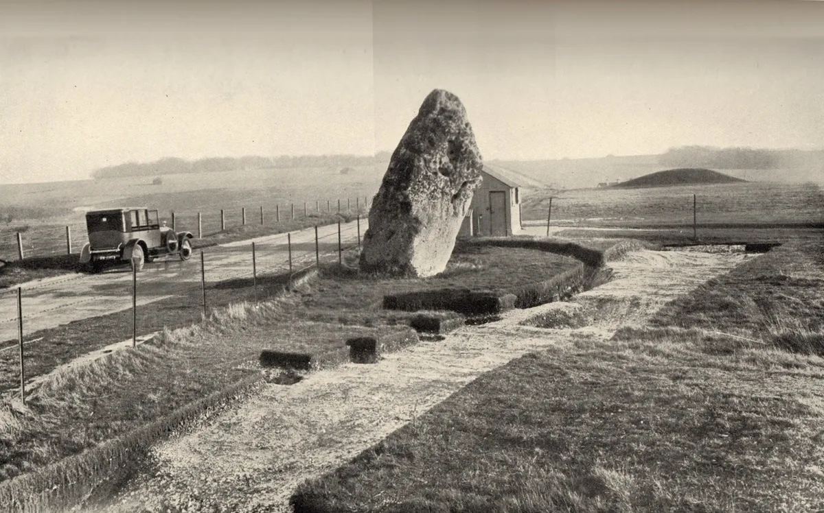
Heelstone Ditch
Hill forts · 0.5 km
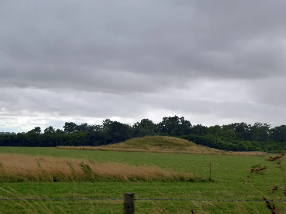
Normanton Down Barrows
Hill forts · 0.8 km
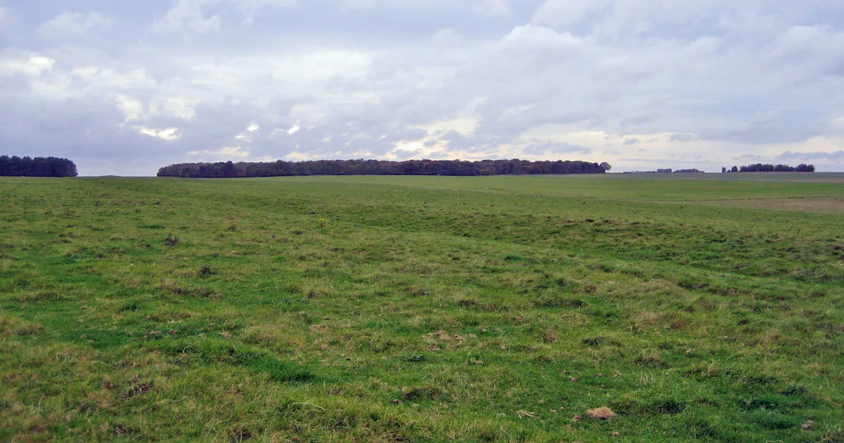
Stonehenge Cursus
UNESCO World Heritage · 0.8 km
Nearby
Flagship📷 10UNESCO World Heritage · South East England
Stonehenge
Stonehenge — Neolithic henge monument in Amesbury, Wiltshire, England, UK.
📷 5Memorials & monuments · South East England
Aubrey Hole
Aubrey Hole — a memorial in england-south-east, United Kingdom.
📷 5Memorials & monuments · South East England
Station Stone
Station Stone — a memorial in england-south-east, United Kingdom.
★ Iconic📷 10UNESCO World Heritage · South East England
Stonehenge, Avebury and Associated Sites
Stonehenge, Avebury and Associated Sites is a UNESCO World Heritage Site in the United Kingdom.
★ Iconic📷 5Hill forts · South East England
Stonehenge Avenue
Stonehenge Avenue — ancient avenue on Salisbury plain, Wiltshire, England.
📷 5Memorials & monuments · South East England
Stone Hole 97
Stone Hole 97 — a memorial in england-south-east, United Kingdom.
Where to eat & stay near Q and R Holes
Places to stay
 📷 7
📷 7Hotels · South East England
Fairlawn House
Fairlawn House — a hotel in england south east.
 📷 5
📷 5Campsites · South West England
Stonehenge Campsite & Glamping
Stonehenge Campsite & Glamping — a campsite in england south east.
 📷 5
📷 5Campsites · South West England
Stonehenge Touring Park
Stonehenge Touring Park — a campsite in england south east.
 📷 5
📷 5Hostels · South East England
Cholderton Youth Hostel
Cholderton Youth Hostel — a hostel in england south east.
 📷 5📷 5
Places to eat & drink
 📷 5
📷 5 📷 5
📷 5Historic pubs · South West England
The Greyhound Tavern
The Greyhound Tavern in England South West, United Kingdom.
 📷 5
📷 5Historic pubs · South West England
Malet Arms
Malet Arms in England South West, United Kingdom.
 📷 7
📷 7Restaurants · South East England
The Old Castle
The Old Castle — a restaurant in england south east. Cuisine: american. Brand: Harvester.
 📷 5
📷 5Historic pubs · South West England
George and Dragon
George and Dragon in England South West, United Kingdom.
 📷 5
📷 5Historic pubs · South West England
The Royal George
The Royal George in England South West, United Kingdom.
More places in this region
 📷 5
📷 5Hill forts · South East England
Ankerwycke Priory
Ankerwycke Priory — Benedictine nunnery with associated moat and fishponds.
 📷 5
📷 5Hill forts · South East England
Shornemead Fort
Shornemead Fort — fort in Shorne, Kent, England, UK.
 📷 5
📷 5Hill forts · South East England
Smythe's Megalith
Smythe's Megalith — neolithic monument in Kent, England.
 📷 5
📷 5Hill forts · South East England
White Horse Stone
White Horse Stone — Two megaliths near Aylesford, Kent, England.
Frequently asked questions
- Where is Q and R Holes?
- Q and R Holes is in South-East England, United Kingdom (postcode SP4 8NU), in the parish of Durrington.
- What is Q and R Holes?
- Q and R Holes is a hill fort in the United Kingdom.
- How do I get to Q and R Holes?
- Drivers can use postcode SP4 8NU.
- Is Q and R Holes a protected site?
- Yes — Q and R Holes is part of the River Avon System SSSI Site of Special Scientific Interest and the Cranborne Chase & West Wiltshire Downs National Landscape (AONB).
- Is Q and R Holes free to visit?
- Yes, Q and R Holes is free to enter.
- How do I get to Q and R Holes?
- Drivers can navigate to postcode SP4 8NU. It sits within the East Wiltshire parliamentary constituency.