
Canals · Yorkshire & the Humber
Standedge Tunnels
In or near Marsden.
The Standedge Tunnels () are four parallel tunnels through the Pennine hills at the Standedge crossing between Marsden in Kirklees, West Yorkshire and Diggle in Oldham, Greater Manchester in northern

Kevin Waterhouse — CC BY-SA 2.0 via Wikimedia Commons licence

Plan your visit
- Typical visit
- 1 h–2 h
- Nearest railway station
- Marsden · 3.0 km
- Free entry
- Dog-friendly
Getting there & planning your visit
To visit Standedge Tunnels, the nearest railway station is Marsden, located 3 km away. Entry is free, and the postcode for sat-nav is HD7 6HU.
About
The Standedge Tunnels () are four parallel tunnels through the Pennine hills at the Standedge crossing between Marsden in Kirklees, West Yorkshire and Diggle in Oldham, Greater Manchester in northern England. Three are railway tunnels (containing the Huddersfield line) and the other is a canal tunnel. Before boundary changes in 1974, both ends of the tunnels were in the West Riding of Yorkshire. The canal tunnel on the Huddersfield Narrow Canal was authorised by the Huddersfield to Ashton-under-Lyne Canal Act 1794 (34 Geo. 3. c. 53) on 4 April 1794. Construction of a 5,451-yard (4,984 m) tunnel began months later. Within two years, cost-saving measures pushed back its completion date and progress was slowed by water levels much greater than had been expected. It proved difficult to secure skilled help, some tenders went unanswered and Benjamin Outram withdrew from the venture. In 1807, Thomas Telford drew up a new plan for its completion. In 1811, the tunnel opened. It is the longest and oldest of the four Standedge tunnels and is the longest, highest, and deepest canal tunnel in the United Kingdom. Having been closed to all traffic in 1943, the canal tunnel was re-opened in May 2001. The first, single-track railway tunnel, built for the London and North Western Railway (LNWR) on its line between Huddersfield and Manchester, was completed in 1848. It proved to have insufficient capacity and a second, parallel, single-track tunnel was opened in 1871. The LNWR opened a third,…
Photo gallery
Protected designations
- Site of Special Scientific Interest: Dark Peak SSSI
- Site of Special Scientific Interest: South Pennine Moors SSSI
Designations sourced from Natural England open data under OGL v3.
From the Wikipedia article
The Standedge Tunnels () are four parallel tunnels through the Pennine hills at the Standedge crossing between Marsden in Kirklees, West Yorkshire and Diggle in Oldham, Greater Manchester in northern England. Three are railway tunnels (containing the Huddersfield line) and the other is a canal tunnel. Before boundary changes in 1974, both ends of the tunnels were in the West Riding of Yorkshire. The canal tunnel on the Huddersfield Narrow Canal was authorised by the Huddersfield to Ashton-under-Lyne Canal Act 1794 (34 Geo. 3. c. 53) on 4 April 1794. Construction of a 5,451-yard (4,984 m) tunnel began months later. Within two years, cost-saving measures pushed back its completion date and progress was slowed by water levels much greater than had been expected. It proved difficult to secure skilled help, some tenders went unanswered and Benjamin Outram withdrew from the venture. In 1807, Thomas Telford drew up a new plan for its completion. In 1811, the tunnel opened. It is the longest and oldest of the four Standedge tunnels and is the longest, highest, and deepest canal tunnel in the United Kingdom. Having been closed to all traffic in 1943, the canal tunnel was re-opened in May 2001. The first, single-track railway tunnel, built for the London and North Western Railway (LNWR) on its line between Huddersfield and Manchester, was completed in 1848. It proved to have insufficient capacity and a second, parallel, single-track tunnel was opened in 1871. The LNWR opened a third, double-track tunnel in 1894. Only the double-track tunnel is currently used for rail traffic; the other two are intact but disused. All four tunnels are linked by cross-tunnels or adits at strategic intervals which allowed the railway tunnels to be built without construction shafts and allowed waste material to be removed by boat. The Standedge Tunnel Visitor Centre, at the Marsden end, is a base for boat trips into the tunnel and has an exhibition depicting the different crossings.
Excerpt from Wikipedia under CC BY-SA 4.0. See the source article linked in Sources below.
Background
Architecture
On 4 April 1794, construction of the Huddersfield Narrow Canal (then known as the Huddersfield Canal), linking Ashton-under-Lyne and Huddersfield via a tunnel, was authorised by the Huddersfield to Ashton-under-Lyne Canal Act 1794 (34 Geo. 3. c. 53). Benjamin Outram was appointed the consulting engineer after his report in October 1793 estimated the cost of the canal and tunnel at £178,478. Nicholas Brown surveyed the route. Outram thought that geology of the hill through which the tunnel would pass was of gritstone and shale, and would not present any difficulties. Work on the 5456 yd tunnel would start at a dip in the hill at Red Brook and the tunnel would be driven simultaneously from…
Visiting
The Standedge Tunnel Visitor Centre at the Marsden end of the tunnel is in the former warehouse, used for transshipment of goods from canal barge to packhorse between 1798 when the canal reached Marsden, and 1811 when the tunnel opened. The centre contains exhibitions on the history of the tunnels, the canal tunnel's recent restoration and the Huddersfield Narrow Canal. Tunnel End Cottages, which once housed canal maintenance workers, houses a café and the booking office for canal tunnel trips. The visitor centre is about half a mile (0.8 km) west of Marsden railway station, reached via the canal towpath. Next to the station are the headquarters of the National Trust's Marsden Moor Estate…
Sourced from Wikipedia under CC BY-SA 4.0.
- Coordinates
- 53.5867, -1.9658
- District
- Kirklees
- Parish
- Kirklees, unparished area
- Postcode
- HD7 6HU
- Parliamentary constituency
- Colne Valley
- Established
- 1811
- Nearest railway station
- Marsden — 3 km
Sources
- wikipedia: Standedge Tunnels (CC BY-SA 4.0)
Other places nearby

Redbrook Engine House
Historic houses · 0.3 km
Thieves Clough Bridge
Historic bridges · 0.3 km

Pule Hill
Mountains & hills · 1.0 km

Snow Stone
Public art & sculpture · 1.1 km
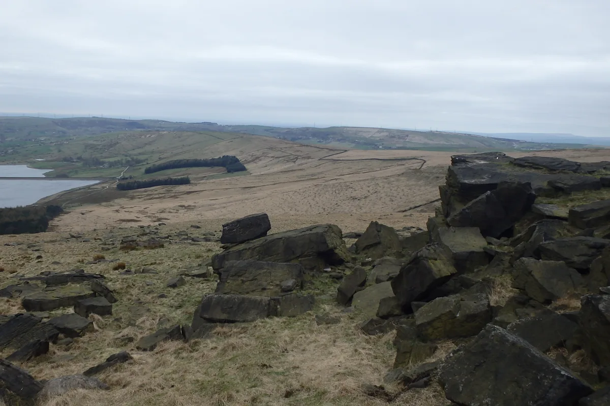
Standedge
Mountains & hills · 1.2 km

Lee Top
Historic houses · 1.9 km

Bridge And Weir At Hey Green
Historic bridges · 2.3 km
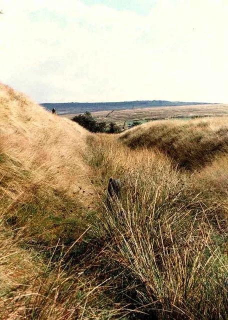
Castleshaw Roman fort
Hill forts · 2.5 km

Rigodunum Roman Fort
Archaeological sites · 2.5 km

Standedge Tunnel & Visitor Centre
Natural landmarks · 2.6 km
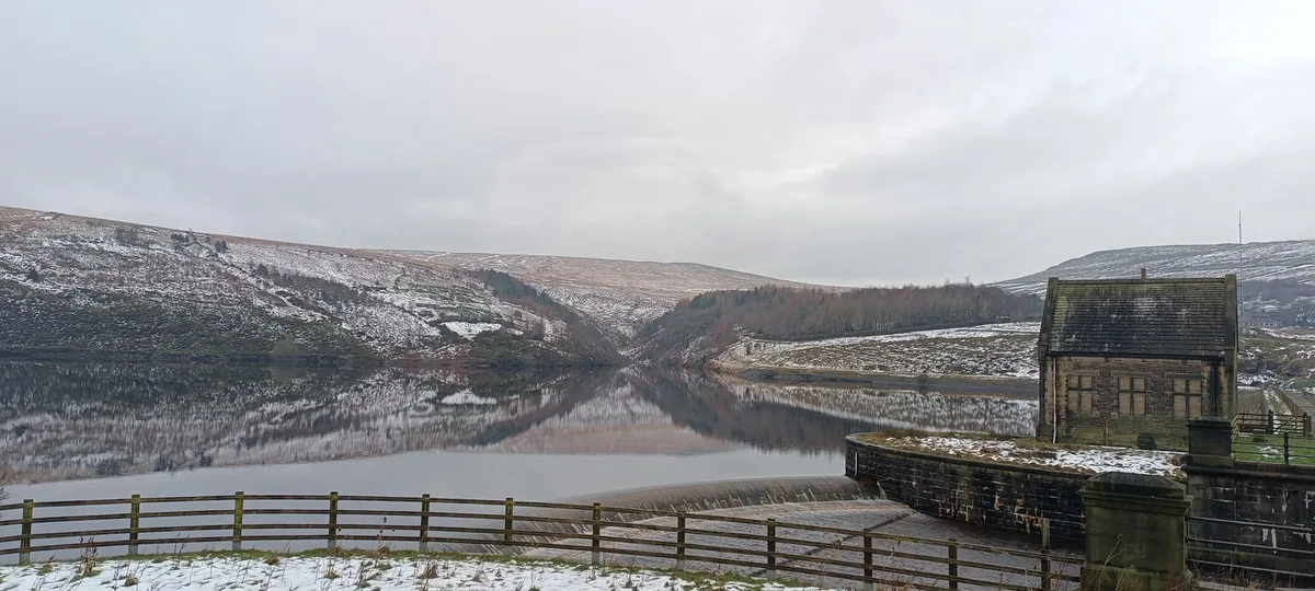
Butterley Reservoir
Reservoirs & lochs · 2.6 km

Marsden's Electric Theatre
Theatres · 2.8 km
Nearby
📷 3Historic houses · Yorkshire & the Humber
Redbrook Engine House
Redbrook Engine House — a historic house in england-yorkshire, United Kingdom.
📷 3Historic bridges · Yorkshire & the Humber
Thieves Clough Bridge
Thieves Clough Bridge — Grade II listed building-listed bridge in england-yorkshire, United Kingdom.
📷 5Mountains & hills · Yorkshire & the Humber
Pule Hill
Pule Hill — a hill or mountain in england yorkshire.
📷 3Public art & sculpture · Yorkshire & the Humber
Snow Stone
Snow Stone — a public art in england-yorkshire, United Kingdom.
📷 3📷 3Historic houses · Yorkshire & the Humber
Lee Top
Lee Top — a historic house in england-yorkshire, United Kingdom.
Where to eat & stay near Standedge Tunnels
Places to stay
 📷 5
📷 5Caravan parks · North West England
The Moorlands
The Moorlands — a caravan park in england north west.
 📷 5
📷 5Campsites · North West England
Dog Hill Scout Campsite
Dog Hill Scout Campsite — a campsite in england north west.
 📷 5
📷 5Campsites · North West England
Well-i-Hole Farm Caravan and Camping
Well-i-Hole Farm Caravan and Camping — a campsite in england north west.
 📷 5
📷 5Caravan parks · North West England
Hollingworth Lake Caravan park
Hollingworth Lake Caravan park — a caravan park in england north west.
 📷 5
📷 5 📷 5
📷 5Caravan parks · Yorkshire & the Humber
Upper Abotts Royd Farm and Caravan Park
Upper Abotts Royd Farm and Caravan Park — a caravan park in england yorkshire.
Places to eat & drink
 📷 5
📷 5Historic pubs · Yorkshire & the Humber
Shoulder of Mutton
Shoulder of Mutton in England Yorkshire, United Kingdom.
 📷 5
📷 5Historic pubs · Yorkshire & the Humber
Rising Sun Public House
Rising Sun Public House in England Yorkshire, United Kingdom.
 📷 5
📷 5Historic pubs · North West England
Colliers Arms Public House
Colliers Arms Public House in England North West, United Kingdom.
.jpg?width=1200) 📷 3
📷 3Historic pubs · Yorkshire & the Humber
Old Bridge Inn
Old Bridge Inn — Historic pub — listed building or notable heritage status.
 📷 5
📷 5 📷 7
📷 7More places in this region
 📷 3
📷 3Canals · Yorkshire & the Humber
Ashton Canal
Ashton Canal — canal in north west England.
 📷 5
📷 5Canals · Yorkshire & the Humber
Hollinwood Branch Canal
Hollinwood Branch Canal is a canal in the United Kingdom.
 📷 3
📷 3Canals · Yorkshire & the Humber
Macclesfield Canal
Macclesfield Canal — canal in north west England.
 📷 5
📷 5Canals · Yorkshire & the Humber
Peak Forest Canal
Peak Forest Canal — canal in Derbyshire/Cheshire/Greater Manchester, England, UK.
Frequently asked questions
- Where is Standedge Tunnels?
- Standedge Tunnels is in Yorkshire, United Kingdom (postcode HD7 6HU), in the parish of Kirklees, unparished area.
- What is Standedge Tunnels?
- The Standedge Tunnels () are four parallel tunnels through the Pennine hills at the Standedge crossing between Marsden in Kirklees, West Yorkshire and Diggle in Oldham, Greater Manchester in northern
- How do I get to Standedge Tunnels?
- The nearest railway station is Marsden, about 3.0 km away. Drivers can use postcode HD7 6HU.
- When was Standedge Tunnels built?
- Built or established in 1811.
- Who owns Standedge Tunnels?
- Standedge Tunnels is owned by Canal & River Trust.
- Is Standedge Tunnels a protected site?
- Yes — Standedge Tunnels is part of the Dark Peak SSSI Site of Special Scientific Interest and the South Pennine Moors SSSI Site of Special Scientific Interest.
- Is Standedge Tunnels free to visit?
- Yes, Standedge Tunnels is free to enter.
- How do I get to Standedge Tunnels?
- The nearest railway station is Marsden, about 3.0 km away. Drivers can navigate to postcode HD7 6HU.