
Historic bridges · Yorkshire & the Humber
Thieves Clough Bridge
In or near Marsden.
Thieves Clough Bridge — Grade II listed building-listed bridge in england-yorkshire, United Kingdom.

D Garside — CC BY-SA 2.0 via Wikimedia Commons licence

Plan your visit
- Typical visit
- 15 min–30 min
- Nearest railway station
- Marsden · 3.2 km
- Free entry
- Dog-friendly
Getting there & planning your visit
To visit Thieves Clough Bridge, the nearest railway station is Marsden, located 3.2 km away. The postcode for navigation is HD7 6HU, and entry to the bridge is free.
About
Thieves Clough Bridge is a Grade II listed building-listed bridge in england-yorkshire, United Kingdom, registered on the National Heritage List for England (NHLE entry 1266896). Listed status protects buildings and structures of special architectural or historic interest. See the linked Wikipedia article for further details.
Photo gallery
Heritage listing
Details SE 01 SW STANDEDGE Marsden 4/455 Thieves Clough Bridge - - II C18. Packhorse bridge. Single span semicircular arched bridge in roughly coursed dry rubble over Thieves Clough. On former Trans-Pennine packhorse route from Mount Road, Marsden to Lancashire. Listing NGR: SE0209310092 Legacy The contents of this record have been generated from a legacy data system. Legacy System number: 420286 Legacy System: LBS
From the Historic England List Entry under OGL v3.
Protected designations
- Site of Special Scientific Interest: Dark Peak SSSI
- Site of Special Scientific Interest: South Pennine Moors SSSI
Designations sourced from Natural England open data under OGL v3.
Place summary
Thieves Clough Bridge is a Grade II listed bridge located in Yorkshire. It is noted for its historical significance and architectural merit.
AI-generated from the structured facts on this page (operator, designation, listing, era). Not a substitute for visiting.
- Coordinates
- 53.5874, -1.9699
- District
- Kirklees
- Parish
- Kirklees, unparished area
- Postcode
- HD7 6HU
- Parliamentary constituency
- Colne Valley
- Nearest railway station
- Marsden — 3.2 km
Sources
- wikidata: Q26557350 (CC0)
Other places nearby

Standedge Tunnels
Canals · 0.3 km
Redbrook Engine House
Historic houses · 0.4 km
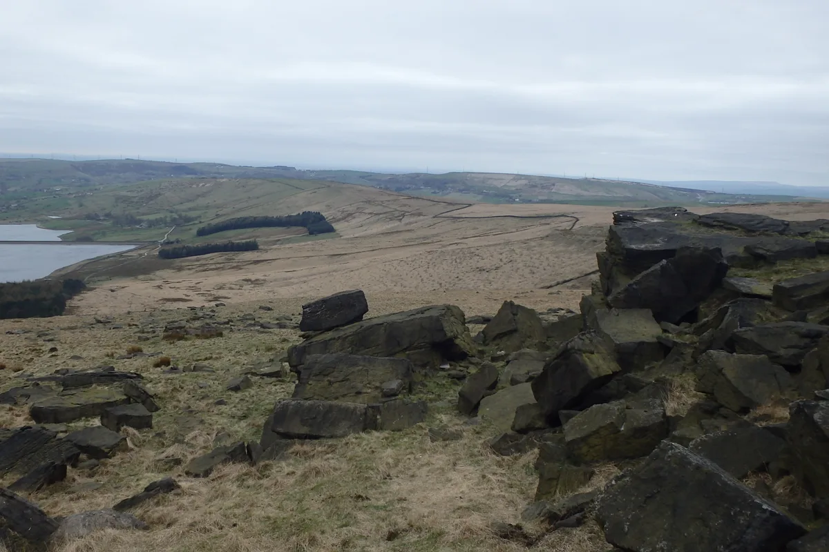
Standedge
Mountains & hills · 0.9 km

Pule Hill
Mountains & hills · 1.2 km

Snow Stone
Public art & sculpture · 1.3 km

Lee Top
Historic houses · 2.1 km
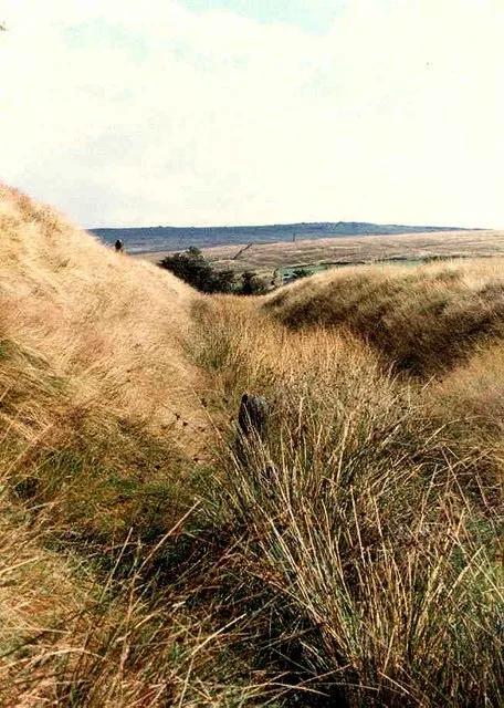
Castleshaw Roman fort
Hill forts · 2.2 km

Rigodunum Roman Fort
Archaeological sites · 2.2 km

Bridge And Weir At Hey Green
Historic bridges · 2.3 km

Standedge Tunnel & Visitor Centre
Natural landmarks · 2.7 km

Harrop Edge
Mountains & hills · 2.8 km

Diggle
Villages · 2.9 km
Nearby
📷 5Canals · Yorkshire & the Humber
Standedge Tunnels
The Standedge Tunnels () are four parallel tunnels through the Pennine hills at the Standedge crossing between Marsden in Kirklees, West Yorkshire and Diggle in Oldham, Greater Manchester in northern
📷 3Historic houses · Yorkshire & the Humber
Redbrook Engine House
Redbrook Engine House — a historic house in england-yorkshire, United Kingdom.
📷 3📷 5Mountains & hills · Yorkshire & the Humber
Pule Hill
Pule Hill — a hill or mountain in england yorkshire.
📷 3Public art & sculpture · Yorkshire & the Humber
Snow Stone
Snow Stone — a public art in england-yorkshire, United Kingdom.
📷 3Historic houses · Yorkshire & the Humber
Lee Top
Lee Top — a historic house in england-yorkshire, United Kingdom.
Where to eat & stay near Thieves Clough Bridge
Places to stay
 📷 5
📷 5Caravan parks · North West England
The Moorlands
The Moorlands — a caravan park in england north west.
 📷 5
📷 5Campsites · North West England
Dog Hill Scout Campsite
Dog Hill Scout Campsite — a campsite in england north west.
 📷 5
📷 5Campsites · North West England
Well-i-Hole Farm Caravan and Camping
Well-i-Hole Farm Caravan and Camping — a campsite in england north west.
 📷 5
📷 5Caravan parks · North West England
Hollingworth Lake Caravan park
Hollingworth Lake Caravan park — a caravan park in england north west.
 📷 5
📷 5 📷 5
📷 5Caravan parks · Yorkshire & the Humber
Upper Abotts Royd Farm and Caravan Park
Upper Abotts Royd Farm and Caravan Park — a caravan park in england yorkshire.
Places to eat & drink
 📷 5
📷 5Historic pubs · Yorkshire & the Humber
Shoulder of Mutton
Shoulder of Mutton in England Yorkshire, United Kingdom.
 📷 5
📷 5Historic pubs · North West England
Colliers Arms Public House
Colliers Arms Public House in England North West, United Kingdom.
 📷 5
📷 5Historic pubs · Yorkshire & the Humber
Rising Sun Public House
Rising Sun Public House in England Yorkshire, United Kingdom.
.jpg?width=1200) 📷 3
📷 3Historic pubs · Yorkshire & the Humber
Old Bridge Inn
Old Bridge Inn — Historic pub — listed building or notable heritage status.
 📷 5
📷 5 📷 7
📷 7More bridges in this region
 📷 5
📷 5Historic bridges · Yorkshire & the Humber
Broadbottom Viaduct
Broadbottom Viaduct is a historic bridge in the United Kingdom.
 📷 3
📷 3Historic bridges · Yorkshire & the Humber
Goyt Cliff Viaduct
Goyt Cliff Viaduct is a historic bridge in the United Kingdom.
 📷 3
📷 3Historic bridges · Yorkshire & the Humber
Iron Bridge
Iron Bridge is a historic bridge in the United Kingdom.
.jpg?width=1200) 📷 5
📷 5Historic bridges · Yorkshire & the Humber
Marple Aqueduct
Marple Aqueduct is a historic bridge in the United Kingdom.
Frequently asked questions
- Where is Thieves Clough Bridge?
- Thieves Clough Bridge is in Yorkshire, United Kingdom (postcode HD7 6HU), in the parish of Kirklees, unparished area.
- What is Thieves Clough Bridge?
- Thieves Clough Bridge — Grade II listed building-listed bridge in england-yorkshire, United Kingdom.
- How do I get to Thieves Clough Bridge?
- The nearest railway station is Marsden, about 3.2 km away. Drivers can use postcode HD7 6HU.
- Is Thieves Clough Bridge a listed building?
- Thieves Clough Bridge is officially recognised as Grade II listed building listed.
- Is Thieves Clough Bridge a protected site?
- Yes — Thieves Clough Bridge is part of the Dark Peak SSSI Site of Special Scientific Interest and the South Pennine Moors SSSI Site of Special Scientific Interest.
- Is Thieves Clough Bridge free to visit?
- Yes, Thieves Clough Bridge is free to enter.
- How do I get to Thieves Clough Bridge?
- The nearest railway station is Marsden, about 3.2 km away. Drivers can navigate to postcode HD7 6HU.