
Castles · North West England
Greater Manchester
In or near Manchester.
Greater Manchester is a metropolitan and ceremonial county in North West England. It borders Lancashire to the north, West Yorkshire and Derbyshire to the east, Cheshire to the south, and Merseyside t

David Dixon — CC BY-SA 2.0 via Wikimedia Commons licence
%2C_Pendlebury_-_geograph.org.uk_-_1775924.jpg)
Plan your visit
- Typical visit
- 1.5 h–3 h
- Nearest railway station
- Clifton · 2.2 km
- Family-friendly
- Limited wheelchair access
Getting there & planning your visit
To visit Greater Manchester, the nearest railway station is Clifton, located 2.2 km away. The postcode for sat-nav is M27 8XE. Accessibility is limited for wheelchair users.
About
Greater Manchester is a metropolitan and ceremonial county in North West England. It borders Lancashire to the north, West Yorkshire and Derbyshire to the east, Cheshire to the south, and Merseyside to the west. Its largest settlement is the city of Manchester. The county has an area of 1,276 km2 (493 sq mi) and is highly urbanised, with an estimated population of 3,009,664 in 2024. Manchester is in the centre of the county, with the city of Salford immediately adjacent to the west. Other large settlements include Rochdale in the north-east, Stockport in the south-east, Sale in the south-west, Wigan in the far north-west, and Bolton in the north-west. The majority of the county's settlements are part of the Greater Manchester Built-up Area, which extends into Cheshire and Merseyside and is the second most populous urban area in the United Kingdom. For local government purposes the county comprises ten metropolitan boroughs: Manchester, Salford, Bolton, Bury, Oldham, Rochdale, Stockport, Tameside, Trafford and Wigan. The borough councils collaborate through the Greater Manchester Combined Authority. Greater Manchester was created on 1 April 1974 from parts of north-east Cheshire, south-east Lancashire, and a small part of the West Riding of Yorkshire. The centre and south-west of Greater Manchester are lowlands, similar to the West Lancashire Coastal Plain to the north-west and the Cheshire Plain to the south-west. The north and east are part of the Pennines: the West Pennine
Photo gallery
Official information
The page announces the appointment of Mrs. Diane Hawkins as the Lord-Lieutenant of Greater Manchester. It provides background information about her career and community involvement, highlighting her roles in various charitable organizations and local governance.
From the Wikipedia article
Greater Manchester is a metropolitan and ceremonial county in North West England. It borders Lancashire to the north, West Yorkshire and Derbyshire to the east, Cheshire to the south, and Merseyside to the west. Its largest settlement is the city of Manchester. The county has an area of 1,276 km2 (493 sq mi) and is highly urbanised, with an estimated population of 3,009,664 in 2024. Manchester is in the centre of the county, with the city of Salford immediately adjacent to the west. Other large settlements include Rochdale in the north-east, Stockport in the south-east, Sale in the south-west, Wigan in the far north-west, and Bolton in the north-west. The majority of the county's settlements are part of the Greater Manchester Built-up Area, which extends into Cheshire and Merseyside and is the second most populous urban area in the United Kingdom. For local government purposes the county comprises ten metropolitan boroughs: Manchester, Salford, Bolton, Bury, Oldham, Rochdale, Stockport, Tameside, Trafford and Wigan. The borough councils collaborate through the Greater Manchester Combined Authority. Greater Manchester was created on 1 April 1974 from parts of north-east Cheshire, south-east Lancashire, and a small part of the West Riding of Yorkshire. The centre and south-west of Greater Manchester are lowlands, similar to the West Lancashire Coastal Plain to the north-west and the Cheshire Plain to the south-west. The north and east are part of the Pennines: the West Pennine Moors in the northwest, the South Pennines in the northeast and the Peak District in the east. Most of the county's rivers rise in the Pennines and are tributaries of the Mersey and Irwell, the latter of which is itself a tributary of the Mersey. The county is connected to the Mersey Estuary by the Manchester Ship Canal, which for its entire length within Greater Manchester consists of canalised sections of the Mersey and Irwell. What is now Greater Manchester was largely rural until the Industr
Excerpt from Wikipedia under CC BY-SA 4.0. See the source article linked in Sources below.
Background
History
, one of the large towns of Greater Manchester and historically part of Cheshire]] , one of the large towns of Greater Manchester and historically part of Lancashire]] Greater Manchester was formed from parts of Cheshire, Lancashire and the West Riding of Yorkshire. The historic boundary between Cheshire and Lancashire is along the River Mersey. The southern part of the county (Trafford, Stockport and Tameside) includes Altrincham, Sale, Stockport, Marple, Cheadle Hulme, Hyde and Stalybridge, which were all historically in Cheshire. Denton and Audenshaw in Tameside were historically part of Lancashire, as was the county north of the River Mersey including the cities of Manchester and…
Sourced from Wikipedia under CC BY-SA 4.0.
- Coordinates
- 53.5025, -2.3100
- District
- Salford
- Parish
- Salford, unparished area
- Postcode
- M27 8XE
- Parliamentary constituency
- Salford
- Nearest railway station
- Clifton — 2.2 km
- Official site
- www.gov.uk
Sources
- wikipedia: Greater Manchester (CC BY-SA 4.0)
Other places nearby

Irlams o' th' Height
Historic churches · 0.5 km

Willow Gate
Public art & sculpture · 0.6 km

Pendlebury
Castles · 0.7 km
Andrew Knowles and Sons Collieries War Memorial
Memorials & monuments · 0.7 km

Manchester, Bolton and Bury Canal
Castles · 1.1 km
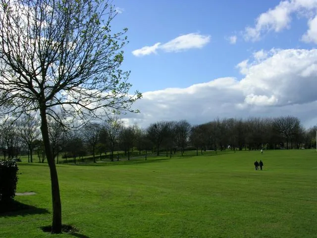
Buile Hill Park
Parks · 1.2 km

Pendlebury
Villages · 1.2 km
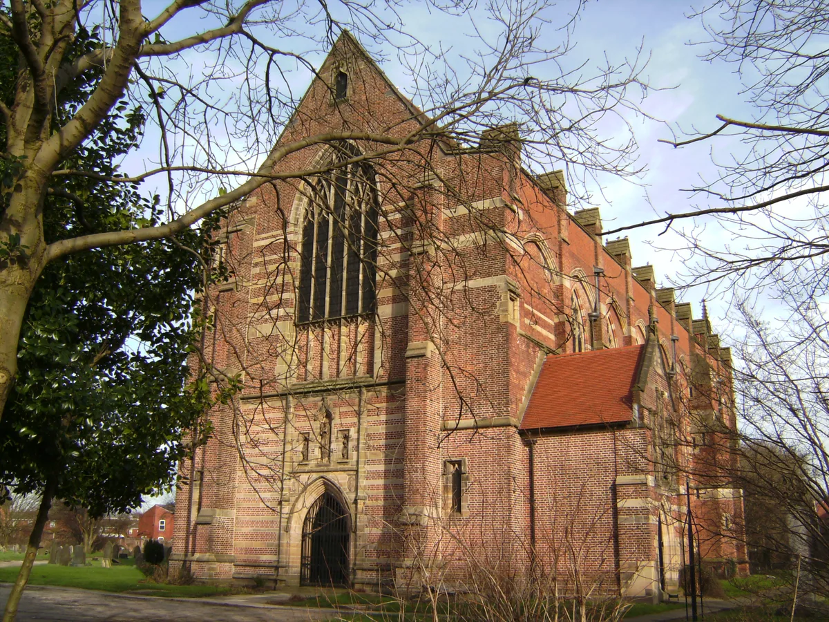
St. Augustine's Church, Pendlebury
Historic churches · 1.2 km

VE Day Memorial Beacon
Memorials & monuments · 1.2 km
.jpg?width=1200)
Victoria Park
Parks · 1.4 km

Salford Education Inclusion Services at Halton House
Historic houses · 1.4 km

Agecroft Cemetery
Cemeteries · 1.4 km
Nearby
📷 5Historic churches · North West England
Irlams o' th' Height
Irlams o' th' Height — a church in england-west-midlands, United Kingdom.
📷 5Public art & sculpture · North West England
Willow Gate
Willow Gate — a public art in england-west-midlands, United Kingdom.
📷 5📷 3Memorials & monuments · North West England
Andrew Knowles and Sons Collieries War Memorial
Andrew Knowles and Sons Collieries War Memorial — Grade II listed building-listed memorial in england-north-west, United Kingdom.
📷 5Castles · North West England
Manchester, Bolton and Bury Canal
The Manchester, Bolton and Bury Canal is a disused canal in Greater Manchester, England, built to link Bolton and Bury with Manchester. The canal, when fully opened, was 15 miles 1 furlong (24 km) lon
📷 5Parks · North West England
Buile Hill Park
Buile Hill Park — park in Seedley, Salford, Greater Manchester, England, UK.
Where to eat & stay near Greater Manchester
Places to stay
 📷 5
📷 5Hotels · North West England
Holiday Inn Express
Holiday Inn Express — a hotel in england west midlands. Brand: Holiday Inn Express.
 📷 7
📷 7 📷 5
📷 5 📷 5
📷 5Hotels · North West England
Parkview Residence
Parkview Residence — a hotel in england north west.
 📷 7
📷 7Hotels · North West England
Hotel Football
Hotel Football — a hotel in england west midlands.
 📷 5
📷 5Hotels · North West England
The Lowry Hotel
The Lowry Hotel — a hotel in england west midlands.
Places to eat & drink
 📷 7
📷 7Historic pubs · North West England
Maypole Public House
Maypole Public House in England North West, United Kingdom.
 📷 5
📷 5Historic pubs · North West England
Lamb Hotel, Eccles
Lamb Hotel, Eccles in England North West, United Kingdom.
 📷 5
📷 5Historic pubs · North West England
Church Inn
Church Inn in England North West, United Kingdom.
 📷 6
📷 6Historic pubs · North West England
19, 20 And 21, The Crescent
19, 20 And 21, The Crescent in England North West, United Kingdom.
 📷 5
📷 5Historic pubs · North West England
Queens Arms
Queens Arms in England North West, United Kingdom.
 📷 5
📷 5Historic pubs · North West England
Stanley Arms
Stanley Arms in England North West, United Kingdom.
More castles in this region
 📷 3
📷 3Castles · North West England
Manchester Castle
Manchester Castle — medieval fortified manor house in England.
 📷 5
📷 5Castles · North West England
Mow Cop Castle
Mow Cop Castle — folly on the Cheshire and Staffordshire border, England, UK.
 📷 3
📷 3 📷 3
📷 3Castles · North West England
Ullerwood Castle
Ullerwood Castle — castle in Greater Manchester, England.
Frequently asked questions
- Where is Greater Manchester?
- Greater Manchester is in North-West England, United Kingdom (postcode M27 8XE), in the parish of Salford, unparished area.
- What is Greater Manchester?
- Greater Manchester is a metropolitan and ceremonial county in North West England. It borders Lancashire to the north, West Yorkshire and Derbyshire to the east, Cheshire to the south, and Merseyside t
- How do I get to Greater Manchester?
- The nearest railway station is Clifton, about 2.2 km away. Drivers can use postcode M27 8XE.
- Does Greater Manchester charge admission?
- Greater Manchester typically charges admission. Check the official site for current ticket prices and opening hours.
- How do I get to Greater Manchester?
- The nearest railway station is Clifton, about 2.2 km away. Drivers can navigate to postcode M27 8XE.