
Wildlife reserves · East of England
Salthouse Marshes
In or near Blakeney.
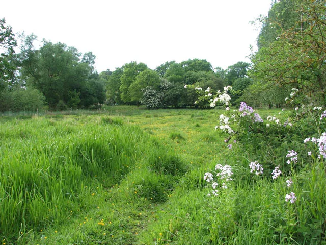
Salthouse Marshes — nature reserve in Norfolk, England.

Wikimedia Commons contributors — see linked file page for photographer and licence licence

Plan your visit
- Typical visit
- 2 h–4 h
- Best time of year
- Autumn & winter (migration & wildfowl)
- Nearest railway station
- Kelling Heath Park · 4.6 km
- Free entry
- Family-friendly
- Dog-friendly
- Limited wheelchair access
Getting there & planning your visit
Salthouse Marshes is located in North Norfolk, postcode NR25 7XE. The nearest railway station is Kelling Heath Park, which is 4.6 km away. Entry is free, but wheelchair access is limited.
About
Salthouse Marshes is a wildlife reserve in the United Kingdom. It covers approximately 66 km². Managed by Norfolk Wildlife Trust. Part of North Norfolk Coast Site of Special Scientific Interest. Wikidata describes it as: "nature reserve in Norfolk, England". Coordinates: 52.9560°, 1.0820°.
Photo gallery
Protected designations
- Site of Special Scientific Interest: North Norfolk Coast SSSI
- Area of Outstanding Natural Beauty: Norfolk Coast
- Ramsar wetland: North Norfolk Coast
Designations sourced from Natural England open data under OGL v3.
From the Wikipedia article
Salthouse Marshes is a 66-hectare (160-acre) nature reserve west of Sheringham in Norfolk. It is managed by the Norfolk Wildlife Trust. It is part of the North Norfolk Coast Site of Special Scientific Interest, Geological Conservation Review site, Nature Conservation Review site, Grade I. Ramsar site, Special Areas of Conservation and Special Protection Area. It is also in the Norfolk Coast Area of Outstanding Natural Beauty. This site has grazing marsh and small pools. Birds include snow buntings, Lapland buntings, little egrets, shore larks and barn owls. There is public access.
Excerpt from Wikipedia under CC BY-SA 4.0. See the source article linked in Sources below.
- Coordinates
- 52.9560, 1.0820
- County
- Norfolk
- District
- North Norfolk
- Parish
- Salthouse
- Postcode
- NR25 7XE
- Parliamentary constituency
- North Norfolk
- Nearest railway station
- Kelling Heath Park — 4.6 km
Sources
- wikidata: Q7406119 (CC0)
- wikipedia: Salthouse Marshes (CC BY-SA 4.0)
- commons: Salthouse Marshes - geograph.org.uk - 377903.jpg (CC BY-SA 4.0)
Other places nearby

Salthouse
Villages · 0.5 km

Salthouse War Memorial
Memorials & monuments · 0.8 km

Cley Marshes
Forests & woodlands · 1.6 km
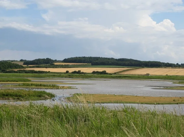
Cley Marshes
Wildlife reserves · 1.8 km

Rectory Hill
Campsites · 2.0 km

Gallow Hill
Archaeological sites · 2.0 km

Vera
Museums · 2.2 km

Kelling Quags
Wildlife reserves · 2.2 km

The Sheiling
Caravan parks · 2.3 km

Cley next the Sea
Villages · 2.5 km
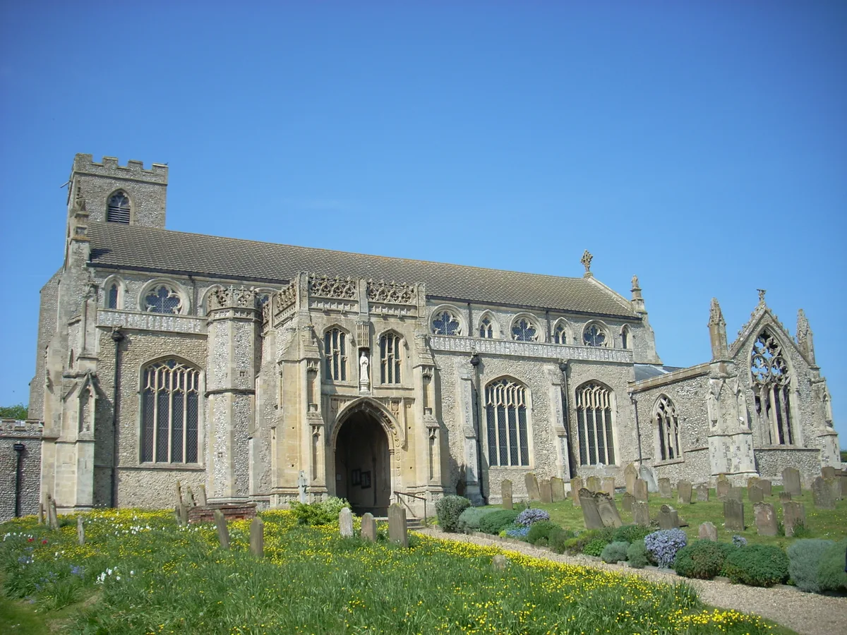
St Margaret's, Cley
Historic churches · 2.5 km

Cley Windmill
Windmills · 2.6 km
Nearby
📷 5📷 3Memorials & monuments · East of England
Salthouse War Memorial
Salthouse War Memorial — Grade II listed building-listed memorial in england-east-midlands, United Kingdom.
📷 5Forests & woodlands · East of England
Cley Marshes
Cley Marshes is a forest or woodland in the United Kingdom.
Flagship📷 5Wildlife reserves · East of England
Cley Marshes
Cley Marshes — nature reserve on the North Sea coast of England.
📷 5📷 3Archaeological sites · East of England
Gallow Hill
Gallow Hill — an archaeological site in East of England, United Kingdom.
Where to eat & stay near Salthouse Marshes
Places to stay
📷 5📷 5 📷 5
📷 5Hotels · East of England
The Pheasant
The Pheasant — a hotel in england east midlands.
 📷 5
📷 5Campsites · East of England
Foxhills Camping
Foxhills Camping — a campsite in england east midlands.
 📷 5
📷 5Caravan parks · East of England
Friary Farm Caravan Park
Friary Farm Caravan Park — a caravan park in england east midlands.
 📷 5
📷 5Places to eat & drink
 📷 5
📷 5Historic pubs · East of England
White Horse Public House
White Horse Public House in England East, United Kingdom.
 📷 5
📷 5 📷 5
📷 5Historic pubs · East of England
The Bluebell
The Bluebell in England East, United Kingdom.
 📷 5
📷 5 📷 5
📷 5Historic pubs · East of England
The White Horse Public House
The White Horse Public House in England East, United Kingdom.
 📷 5
📷 5Historic pubs · East of England
The Wellington Public House
The Wellington Public House in England East, United Kingdom.
More places run by Norfolk Wildlife Trust
 📷 5
📷 5Wildlife reserves · East of England
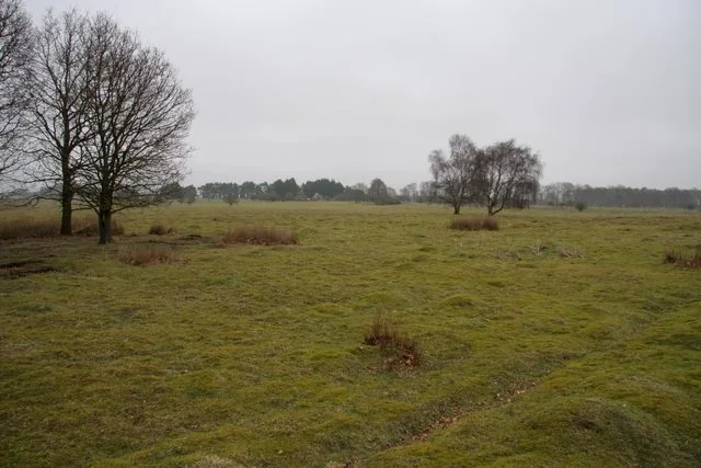
East Wretham Heath
East Wretham Heath — nature reserve near Thetford.
 📷 5Flagship📷 5
Wildlife reserves · East of England
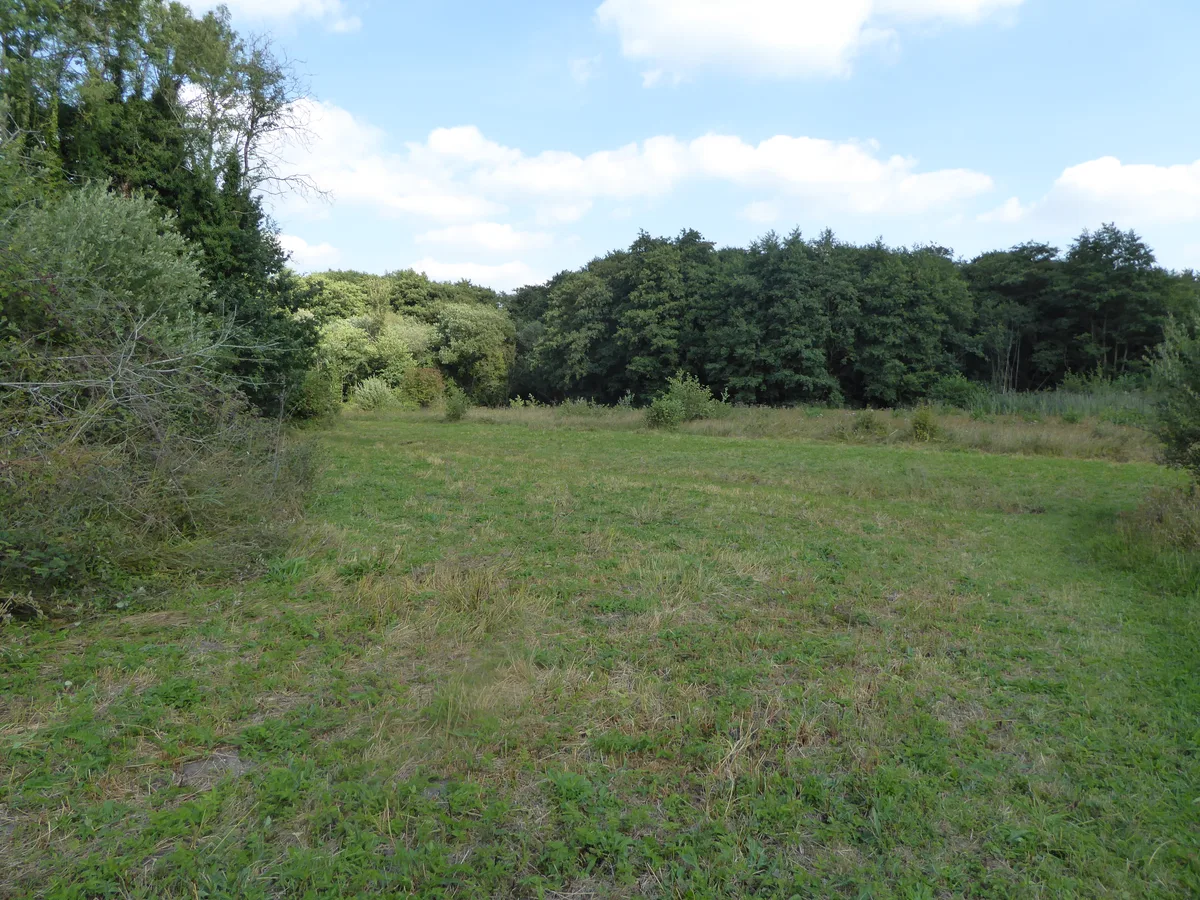
Cley Marshes
Cley Marshes — nature reserve on the North Sea coast of England.
 📷 5
📷 5Wildlife reserves · East of England
Hoe Rough
Hoe Rough — nature reserve in Norfolk, England, UK.
More places in this region
 Flagship📷 10
Wildlife reserves · East of England
Amwell Quarry
Amwell Quarry — nature reserve in United Kingdom.
 Flagship📷 10
Wildlife reserves · East of England
Aubrey Buxton Nature Reserve
Aubrey Buxton Nature Reserve — Essex Wildlife Trust Nature reserve.
 Flagship📷 10
Wildlife reserves · East of England
Canvey Wick
Canvey Wick — nature reserve in Essex, United Kingdom.
 Flagship📷 10
Wildlife reserves · East of England
Crowsheath Wood
Crowsheath Wood — Essex Wildlife Trust Nature reserve.
Frequently asked questions
- Where is Salthouse Marshes?
- Salthouse Marshes is in Norfolk, East of England, United Kingdom (postcode NR25 7XE), in the parish of Salthouse.
- What is Salthouse Marshes?
- Salthouse Marshes — nature reserve in Norfolk, England.
- How do I get to Salthouse Marshes?
- The nearest railway station is Kelling Heath Park, about 4.6 km away. The nearest town is Blakeney. Drivers can use postcode NR25 7XE.
- Who runs Salthouse Marshes?
- Salthouse Marshes is operated by Norfolk Wildlife Trust.
- Is Salthouse Marshes a protected site?
- Yes — Salthouse Marshes is part of the North Norfolk Coast SSSI Site of Special Scientific Interest and the Norfolk Coast National Landscape (AONB).
- Is Salthouse Marshes free to visit?
- Yes, Salthouse Marshes is free to enter.
- How do I get to Salthouse Marshes?
- The nearest railway station is Kelling Heath Park, about 4.6 km away. Drivers can navigate to postcode NR25 7XE.
- Are dogs allowed at Salthouse Marshes?
- Most wildlife reserves allow dogs on lead only, with restrictions during ground-nesting bird season (March-July). Check signage at the reserve.