
Archaeological sites · London
Ruislip Woods
In or near South Oxhey.
Ruislip Woods — woodland in Ruislip, London.

Wikimedia Commons contributors — see linked file page for photographer and licence licence

Plan your visit
- Typical visit
- 45 min–1.5 h
- Nearest railway station
- Willow Lawn · 0.1 km
- Free entry
- Dog-friendly
Getting there & planning your visit
Ruislip Woods is located in Hillingdon, London, with the postcode HA4 7TY. The nearest railway station is Willow Lawn, just 0.1 km away. Entry to the site is free.
About
Ruislip Woods is an archaeological site in the United Kingdom. Heritage designation: Site of Special Scientific Interest. Wikidata describes it as: "woodland in Ruislip, London". Coordinates: 51.5930°, -0.4310°.
Photo gallery
Protected designations
- Site of Special Scientific Interest: Ruislip Woods SSSI
- National Nature Reserve: RUISLIP WOODS
- Area of Outstanding Natural Beauty: Chilterns
Designations sourced from Natural England open data under OGL v3.
From the Wikipedia article
Ruislip Woods is a Site of Special Scientific Interest and national nature reserve covering 726 acres (294 ha) in Ruislip in the London Borough of Hillingdon. The woods became London's first national nature reserve in May 1997. Ruislip Local Nature Reserve at TQ 090 899 is part of the national nature reserve. Evidence of Bronze Age settlements has been found within the woods during archaeological excavations. Timber from the woods has been used in the building of several nationally significant buildings, as well as locally; the Great Barn at Manor Farm was built from oak from the woods. Ownership of the woods passed with the manor from Ernulf de Hesdin to Bec Abbey and on to King's College, Cambridge over the years, until Park Wood was sold to the local authority. The remaining woods were purchased from other owners and Ruislip Woods was formed.
Excerpt from Wikipedia under CC BY-SA 4.0. See the source article linked in Sources below.
Background
History
Use of the wood has been dated back to the Bronze Age, after a barbed spearhead was discovered by a metal detector user. During an excavation of the findspot in 1984 the spearhead, measuring 4.75 in in length, was found to have been lying in an oval pit with fragments of pottery, indicating it to be the collection of domestic waste from a settlement. The woods are the remains of the dense woodland which would have covered the county of Middlesex from prehistoric times. Woodland was cleared over time for farming and housing. In 1087, Ernulf de Hesdin passed the manor to the Bec Abbey. During the Abbey's ownership, timber from the woods was used in the construction of the Tower of London in…
Sourced from Wikipedia under CC BY-SA 4.0.
- Coordinates
- 51.5930, -0.4310
- District
- Hillingdon
- Parish
- Hillingdon, unparished area
- Postcode
- HA4 7TY
- Parliamentary constituency
- Ruislip, Northwood and Pinner
- Nearest railway station
- Willow Lawn — 0.1 km
Sources
- wikidata: Q7378815 (CC0)
- wikipedia: Ruislip Woods (CC BY-SA 4.0)
- commons: Harefield, Park Wood, Hill End - geograph.org.uk - 86709.jpg (CC BY-SA 4.0)
Other places nearby

Ruislip Lido Railway
Miniature railways · 0.0 km
Water treatment
Historic houses · 0.3 km

Ruislip Lido
Reservoirs & lochs · 0.3 km

Battle of Britain House
Historic houses · 0.5 km

Breakspear Crematorium
Cemeteries · 0.8 km

Northwood Cemetery
Cemeteries · 1.3 km

Northwood
Chapels · 1.3 km

The Willow Tree Centre
Campsites · 1.3 km

Commonwealth War Memorial
Memorials & monuments · 1.3 km

Northwood Hills Masjid and Commnity Centre
Historic churches · 1.5 km

Winston Churchilll Hall
Theatres · 1.6 km

Manor Farm House
Museums · 1.6 km
Nearby
📷 5Miniature railways · London
Ruislip Lido Railway
Ruislip Lido Railway — a miniature railway in england-london, United Kingdom.
📷 5Historic houses · London
Water treatment
Water treatment — a historic house in england-london, United Kingdom.
📷 5Reservoirs & lochs · London
Ruislip Lido
Ruislip Lido — reservoir and artificial beach in London.
📷 5Historic houses · London
Battle of Britain House
Battle of Britain House — building in Greater London, England.
📷 5Cemeteries · London
Breakspear Crematorium
Breakspear Crematorium is a cemetery in the United Kingdom.
📷 5Where to eat & stay near Ruislip Woods
Places to stay
📷 5 📷 5
📷 5 📷 5
📷 5Caravan parks · London
Wyatt's Covert Caravan Site
Wyatt's Covert Caravan Site — a caravan park in england london.
 📷 5
📷 5 📷 5
📷 5 📷 5
📷 5Places to eat & drink
 📷 5
📷 5 📷 5
📷 5 📷 5
📷 5 📷 7
📷 7Restaurants · London
The White Bear
The White Bear — a restaurant in england london.
 📷 5
📷 5Historic pubs · London
Ye Old Greene Manne Public House
Ye Old Greene Manne Public House in England London, United Kingdom.
 📷 5
📷 5Historic pubs · London
The Hand In Hand Public House
The Hand In Hand Public House in England London, United Kingdom.
More archaeological sites in this region
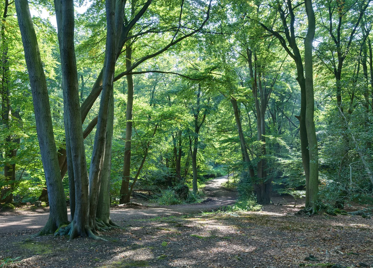 Flagship📷 10
Archaeological sites · London
Epping Forest
Epping Forest — royal forest in England.
 Flagship📷 10
 📷 5
📷 5Archaeological sites · London
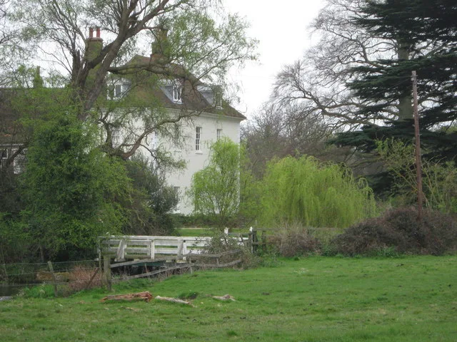
A preceptory of the Knights Hospitallers, known as St John's Jerusalem, and an associated fishpond at Sutton-at-Hone
A preceptory of the Knights Hospitallers, known as St John's Jerusalem, and an associated fishpond at Sutton-at-Hone — archaeological site in Sutton-at-Hone and Hawley, Dartford, England, UK.
 📷 5
📷 5Archaeological sites · London
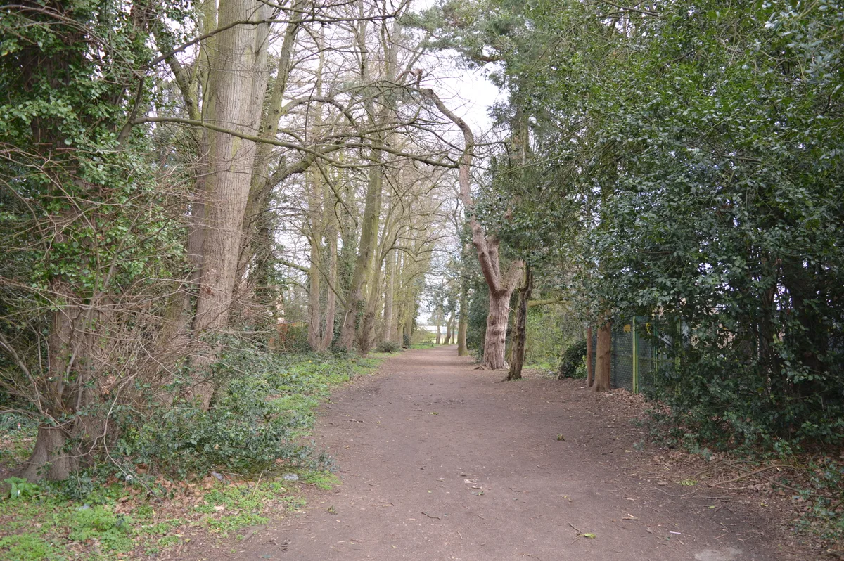
Albans Wood
Albans Wood — Nature reserve in Hertfordshire, England.
Frequently asked questions
- Where is Ruislip Woods?
- Ruislip Woods is in London, United Kingdom (postcode HA4 7TY), in the parish of Hillingdon, unparished area.
- What is Ruislip Woods?
- Ruislip Woods — woodland in Ruislip, London.
- How do I get to Ruislip Woods?
- The nearest railway station is Willow Lawn, about 0.1 km away. Drivers can use postcode HA4 7TY.
- Is Ruislip Woods a listed building?
- Ruislip Woods is officially recognised as Site of Special Scientific Interest listed.
- Is Ruislip Woods a protected site?
- Yes — Ruislip Woods is part of the Ruislip Woods SSSI Site of Special Scientific Interest and the RUISLIP WOODS National Nature Reserve.
- Is Ruislip Woods free to visit?
- Yes, Ruislip Woods is free to enter.
- How do I get to Ruislip Woods?
- The nearest railway station is Willow Lawn, about 0.1 km away. Drivers can navigate to postcode HA4 7TY.