
Archaeological sites · London
Epping Forest
In or near Lambourne.
Epping Forest — royal forest in England.

Wikimedia Commons contributors — see linked file page for photographer and licence licence

Plan your visit
- Typical visit
- 45 min–1.5 h
- Nearest railway station
- Loughton · 2.1 km
- Free entry
- Dog-friendly
Getting there & planning your visit
Epping Forest is located in Essex, with the nearest railway station being Loughton, which is 2.1 km away. Entry to the forest is free. The postcode for navigation is IG10 4AF.
About
Epping Forest is an archaeological site in the United Kingdom. It covers approximately 2,400 km². Heritage designation: Site of Special Scientific Interest. Wikidata describes it as: "royal forest in England". Coordinates: 51.6600°, 0.0500°.
Photo gallery
Summary from the official site
Epping Forest is a historic woodland that spans 13 miles from Manor Park in London to Epping in Essex. Visitors can explore its diverse landscapes, including ancient trees, iron age mounds, and scenic meadows, all maintained as a public open space since 1878.
Read more on the official property page.
Protected designations
- Site of Special Scientific Interest: Epping Forest SSSI
Designations sourced from Natural England open data under OGL v3.
From the Wikipedia article
Epping Forest is a 2,400-hectare (5,900-acre) area of ancient woodland, and other established habitats, which straddles the border between Greater London and Essex. The main body of the forest stretches from Epping in the north, to Chingford on the edge of the London built-up area. South of Chingford, the forest narrows and becomes a green corridor extending deep into east London, as far as Forest Gate; the forest's position gives rise to its nickname, the Cockney Paradise. It is the largest forest in London. It lies on a ridge between the valleys of the rivers Lea and Roding. It contains areas of woodland, grassland, heath, streams, bogs, and ponds, and its elevation and thin gravelly soil (the result of glaciation) historically made it less suitable for agriculture. The forest was historically managed as a common; the land was held by a number of local landowners who exercised economic rights over aspects such as timber, while local commoners had grazing and other rights. It was designated a royal forest, meaning that only the monarch had the right to hunt deer. The extensive urban areas on the forest's edges bring many visitors to the forest, and cause a strain on the forest's ecology; however, local recreational users of the forest were crucial in saving the forest when it was threatened with enclosure and destruction in the late 19th century. The huge public outcry led the City of London Corporation to buy and so save the site in what was the first major success of the environmental movement in Europe – the corporation still owns the forest. The forest gives its name to the Epping Forest local government district, which covers part of it, and to Forest School, a private school in Walthamstow towards the south of it.
Excerpt from Wikipedia under CC BY-SA 4.0. See the source article linked in Sources below.
Background
History
The area that became Epping Forest has been continuously wooded since Neolithic times. Embankments of two Iron Age hill forts – Loughton Camp and Ambresbury Banks – can be found in the woodland, but pollen profiles show that Iron Age occupation had no significant effect on woodland cover. The former small leaved lime (also known as pry or linden) dominated woodland permanently changed during the Anglo-Saxon period, possibly as a result of the selective cutting of trees. Today's beech-birch and oak-hornbeam-dominated forest may be the result of partial forest clearance in Saxon times.
Sourced from Wikipedia under CC BY-SA 4.0.
- Coordinates
- 51.6600, 0.0500
- County
- Essex
- District
- Epping Forest
- Parish
- Waltham Abbey
- Postcode
- IG10 4AF
- Parliamentary constituency
- Epping Forest
- Nearest railway station
- Loughton — 2.1 km
- Official site
- www.cityoflondon.gov.uk
Sources
- wikidata: Q1347643 (CC0)
- wikipedia: Epping Forest (CC BY-SA 4.0)
- commons: Epping Forest Centenary Walk 2 - Sept 2008.jpg (CC BY-SA 4.0)
Featured in this guide
Other places nearby

Loughton Camp
Archaeological sites · 0.1 km

Loughton Camp
Vineyards · 0.2 km

Epping Forest Field Centre Bird Viewing Point
Viewpoints · 0.8 km
.jpg?width=1200)
Great Monk Wood
Archaeological sites · 0.8 km

Edward Manley Cummings
Memorials & monuments · 0.9 km
Diana Kennedy
Memorials & monuments · 0.9 km
Arthur Bacot
Memorials & monuments · 0.9 km
Christopher Cutchey
Memorials & monuments · 0.9 km

High Beach
Beaches · 1.0 km

George Granville Barker
Memorials & monuments · 1.3 km

Loughton
Villages · 1.6 km

Lopping Hall Gallery
Galleries · 1.6 km
Nearby
📷 5Archaeological sites · London
Loughton Camp
Loughton Camp — a archaeological in england-london, United Kingdom.
📷 5Vineyards · London
Loughton Camp
Loughton Camp — a UK vineyard in england london, producing English or Welsh wine from cool-climate grape varieties.
📷 5Viewpoints · London
Epping Forest Field Centre Bird Viewing Point
Epping Forest Field Centre Bird Viewing Point is a viewpoint in the United Kingdom.
📷 5Archaeological sites · London
Great Monk Wood
Great Monk Wood — woodland in Epping Forest, Essex, England.
📷 5Memorials & monuments · London
Edward Manley Cummings
Edward Manley Cummings — a memorial in england-london, United Kingdom.
📷 5Memorials & monuments · London
Diana Kennedy
Diana Kennedy — a memorial in england-london, United Kingdom.
Where to eat & stay near Epping Forest
Places to stay
 📷 5
📷 5 📷 5
📷 5 📷 5
📷 5Campsites · London
Debden House Holiday Park
Debden House Holiday Park — a campsite in england london.
 📷 5📷 5
 📷 5
📷 5Places to eat & drink
 📷 5
📷 5 📷 7
📷 7Historic pubs · London
Queen Victoria Public House
Queen Victoria Public House in England London, United Kingdom.
 📷 5
📷 5Historic pubs · London
The Queens Arms Public House
The Queens Arms Public House in England London, United Kingdom.
 📷 5
📷 5 📷 5
📷 5 📷 5
📷 5More archaeological sites in this region
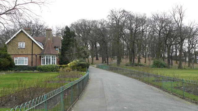 Flagship📷 10
 📷 5
📷 5Archaeological sites · London
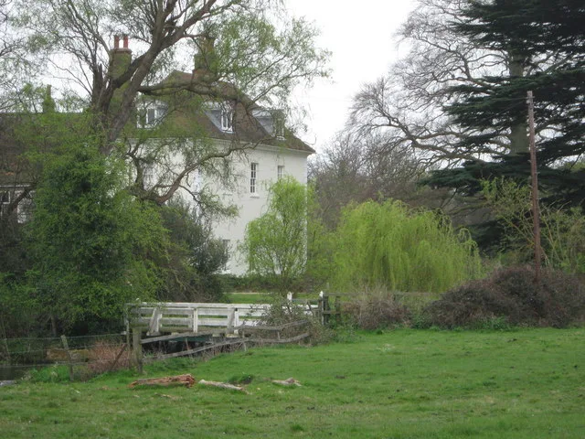
A preceptory of the Knights Hospitallers, known as St John's Jerusalem, and an associated fishpond at Sutton-at-Hone
A preceptory of the Knights Hospitallers, known as St John's Jerusalem, and an associated fishpond at Sutton-at-Hone — archaeological site in Sutton-at-Hone and Hawley, Dartford, England, UK.
 📷 5
📷 5Archaeological sites · London
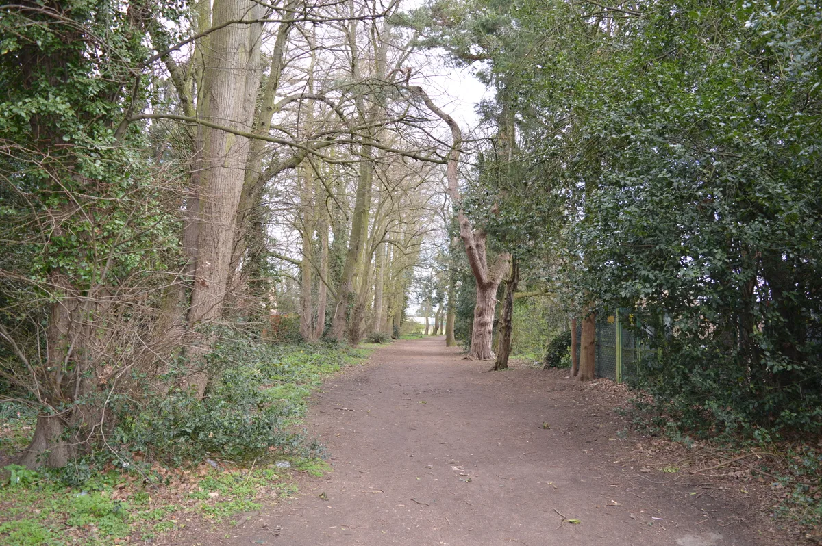
Albans Wood
Albans Wood — Nature reserve in Hertfordshire, England.
 📷 5
📷 5Archaeological sites · London
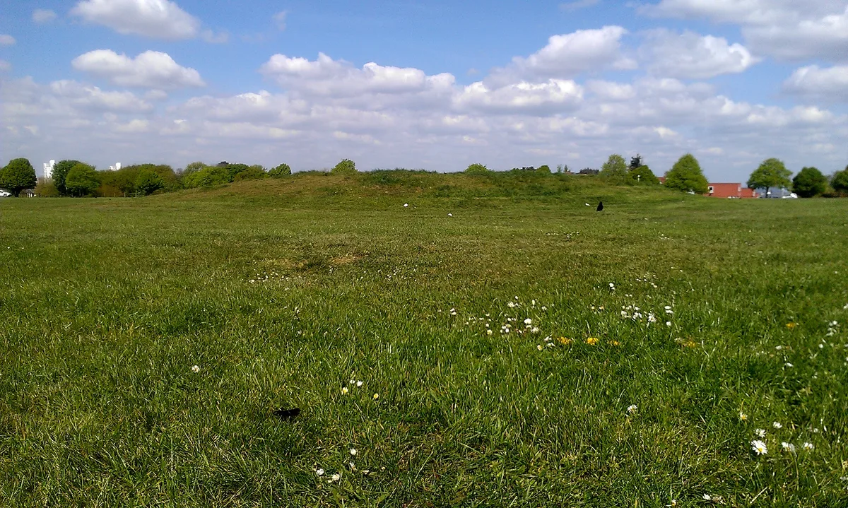
Burial mound on Winns Common, Plumstead
Burial mound on Winns Common, Plumstead — archaeological site in Royal Borough of Greenwich, Greater London, England, UK.
Frequently asked questions
- Where is Epping Forest?
- Epping Forest is in Essex, London, United Kingdom (postcode IG10 4AF), in the parish of Waltham Abbey.
- What is Epping Forest?
- Epping Forest — royal forest in England.
- How do I get to Epping Forest?
- The nearest railway station is Loughton, about 2.1 km away. Drivers can use postcode IG10 4AF.
- Is Epping Forest a listed building?
- Epping Forest is officially recognised as Site of Special Scientific Interest listed.
- Is Epping Forest a protected site?
- Yes — Epping Forest is part of the Epping Forest SSSI Site of Special Scientific Interest.
- Is Epping Forest free to visit?
- Yes, Epping Forest is free to enter.
- How do I get to Epping Forest?
- The nearest railway station is Loughton, about 2.1 km away. Drivers can navigate to postcode IG10 4AF.