
Reservoirs & lochs · London
Ruislip Lido
In or near South Oxhey.
Ruislip Lido — reservoir and artificial beach in London.

Wikimedia Commons contributors — see linked file page for photographer and licence licence

Plan your visit
- Typical visit
- 1 h–2.5 h
- Nearest railway station
- Woody Bay · 0.3 km
- Free entry
- Dog-friendly
Getting there & planning your visit
Ruislip Lido is located in Hillingdon, London, with the postcode HA4 7TY. The nearest railway station is Woody Bay, which is 0.3 km away. Entry to the Lido is free.
About
Ruislip Lido is a reservoir in the United Kingdom. Wikidata describes it as: "reservoir and artificial beach in London". Coordinates: 51.5903°, -0.4323°.
Photo gallery
Official information
Ruislip Lido offers a scenic railway journey through ancient woodlands, starting at Woody Bay Station near the beach and children's splash pad. Visitors can enjoy a variety of locomotives, including the popular steam engine 'Mad Bess', and watch the train being turned at Willow Lawn Station.
Protected designations
- Site of Special Scientific Interest: Ruislip Woods SSSI
- National Nature Reserve: RUISLIP WOODS
- Area of Outstanding Natural Beauty: Chilterns
Designations sourced from Natural England open data under OGL v3.
From the Wikipedia article
Ruislip Lido ( RY-slip LY-doh) is a reservoir and artificial beach in Ruislip, within the London Borough of Hillingdon, England, situated between Ruislip Common, Ruislip Woods (a Site of Special Scientific Interest), and Poor's Field. Originally created as a feeder basin for the Grand Junction Canal in 1811, the reservoir was reopened in 1933 as a lido, with facilities for swimming and boating. During the Second World War, the lido was secretly used by the Royal Air Force to train aircrew based at RAF Northolt and RAF Uxbridge in water survival methods. A narrow gauge railway, the Ruislip Lido Railway was opened in 1945, and now runs about two thirds of the distance around the reservoir. Having fallen into a state of disrepair during the 1970s and 1980s, the lido has since undergone renewal works, and was the subject of an enhancement project unveiled by the London Borough of Hillingdon in January 2010. The project involved the return of boating and swimming in the reservoir, which had previously not been possible due to pollution and an artificially low water level.
Excerpt from Wikipedia under CC BY-SA 4.0. See the source article linked in Sources below.
Background
Architecture
The Grand Junction Canal Company purchased 61.5 acre of Park Wood from King's College, Cambridge, 56 acre of land from the commissioners, and 35 acre of the cottages and gardens of the hamlet of Park Hearne. The valley that the land covered was then dammed and flooded. Engineer John Rennie and constructor Hugh Mackintosh opened the reservoir on 5 December 1811 as one of the feeders for the Grand Junction Canal. Because the water became polluted by residues from the flooded land, the reservoir did not fulfil its intended purpose, and its role as a feeder ceased in 1851. The canal (now renamed the Grand Union Canal) is 7 mi to the west of the basin, so a culvert was built to lead water into…
Sourced from Wikipedia under CC BY-SA 4.0.
- Coordinates
- 51.5903, -0.4323
- District
- Hillingdon
- Parish
- Hillingdon, unparished area
- Postcode
- HA4 7TY
- Parliamentary constituency
- Ruislip, Northwood and Pinner
- Nearest railway station
- Woody Bay — 0.3 km
- Official site
- www.ruisliplidorailway.org
Sources
- wikidata: Q12067731 (CC0)
- wikipedia: Ruislip Lido (CC BY-SA 4.0)
- commons: Woody Bay - Ruislip Lido - geograph.org.uk - 947989.jpg (CC BY-SA 4.0)
Other places nearby
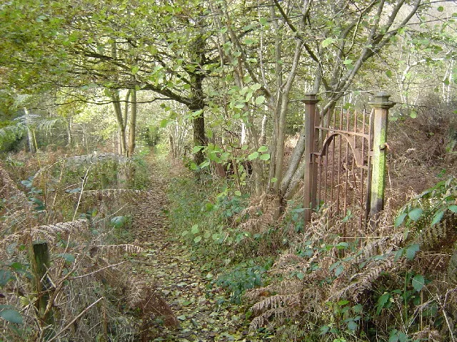
Ruislip Woods
Archaeological sites · 0.3 km

Ruislip Lido Railway
Miniature railways · 0.3 km
Water treatment
Historic houses · 0.4 km

Breakspear Crematorium
Cemeteries · 0.5 km

Battle of Britain House
Historic houses · 0.6 km

The Willow Tree Centre
Campsites · 1.1 km

Winston Churchilll Hall
Theatres · 1.3 km

Manor Farm House
Museums · 1.3 km
Manor Farm Complex
Museums · 1.3 km
Pram Shed
Museums · 1.4 km
Cow Byre Gallery
Galleries · 1.4 km

Ruislip Manor Farm
Castles · 1.4 km
Nearby
📷 5📷 5Miniature railways · London
Ruislip Lido Railway
Ruislip Lido Railway — a miniature railway in england-london, United Kingdom.
📷 5Historic houses · London
Water treatment
Water treatment — a historic house in england-london, United Kingdom.
📷 5Cemeteries · London
Breakspear Crematorium
Breakspear Crematorium is a cemetery in the United Kingdom.
📷 5Historic houses · London
Battle of Britain House
Battle of Britain House — building in Greater London, England.
📷 5Where to eat & stay near Ruislip Lido
Places to stay
📷 5 📷 5
📷 5 📷 5
📷 5Caravan parks · London
Wyatt's Covert Caravan Site
Wyatt's Covert Caravan Site — a caravan park in england london.
 📷 5
📷 5 📷 5
📷 5 📷 5
📷 5Campsites · East of England
Diogenes Sun Club
Diogenes Sun Club — a campsite in england west midlands.
Places to eat & drink
 📷 5
📷 5 📷 5
📷 5 📷 5
📷 5 📷 7
📷 7Restaurants · London
The White Bear
The White Bear — a restaurant in england london.
 📷 5
📷 5Historic pubs · London
Ye Old Greene Manne Public House
Ye Old Greene Manne Public House in England London, United Kingdom.
 📷 5
📷 5Historic pubs · London
The Hand In Hand Public House
The Hand In Hand Public House in England London, United Kingdom.
More places in this region
 Flagship📷 10
Reservoirs & lochs · London
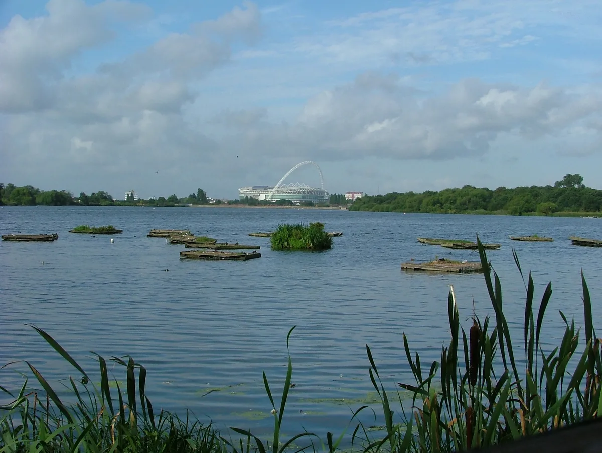
Brent Reservoir
Brent Reservoir — reservoir which straddles the boundary between the London boroughs of Brent and Barnet, in England.
 Flagship📷 10
Reservoirs & lochs · London
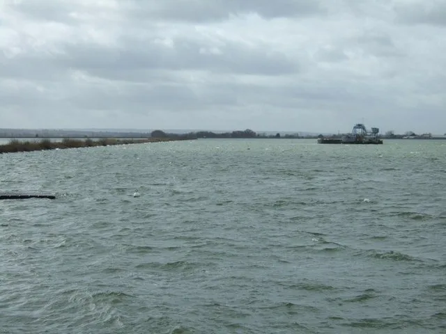
Queen Mary Reservoir
Queen Mary Reservoir — lake in the United Kingdom.
 📷 5
📷 5Reservoirs & lochs · London
Aldenham Reservoir
Aldenham Reservoir — reservoir in Hertfordshire, England, UK.
 📷 5
📷 5Reservoirs & lochs · London
Banbury Reservoir
Banbury Reservoir — reservoir in the London Borough of Waltham Forest, England, United Kingdom.
Frequently asked questions
- Where is Ruislip Lido?
- Ruislip Lido is in London, United Kingdom (postcode HA4 7TY), in the parish of Hillingdon, unparished area.
- What is Ruislip Lido?
- Ruislip Lido — reservoir and artificial beach in London.
- How do I get to Ruislip Lido?
- The nearest railway station is Woody Bay, about 0.3 km away. The nearest town is South Oxhey. Drivers can use postcode HA4 7TY.
- Is Ruislip Lido a protected site?
- Yes — Ruislip Lido is part of the Ruislip Woods SSSI Site of Special Scientific Interest and the RUISLIP WOODS National Nature Reserve.
- Is Ruislip Lido free to visit?
- Yes, Ruislip Lido is free to enter.
- How do I get to Ruislip Lido?
- The nearest railway station is Woody Bay, about 0.3 km away. Drivers can navigate to postcode HA4 7TY.