
Reservoirs & lochs · London
Banbury Reservoir
In or near City of London.
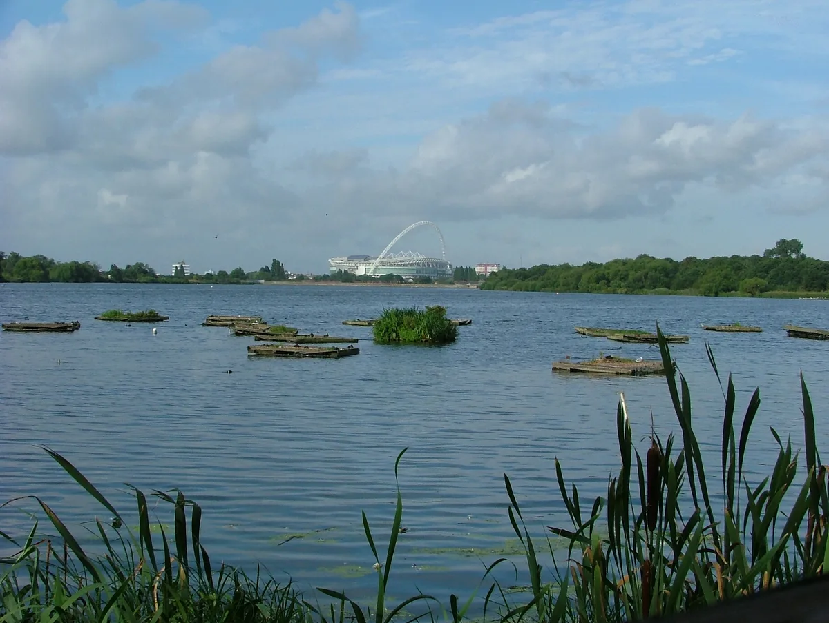
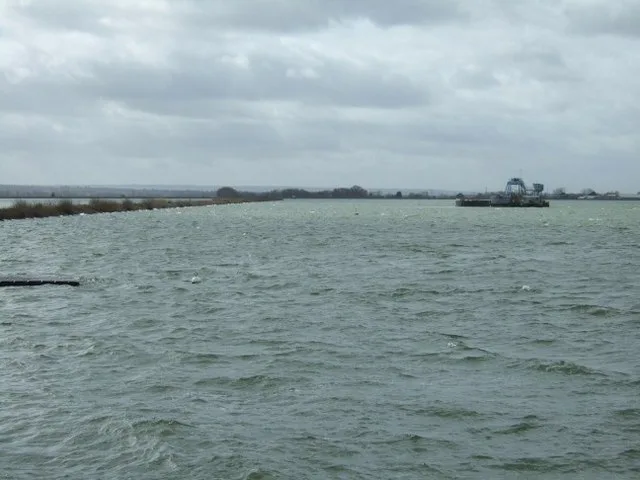
Banbury Reservoir — reservoir in the London Borough of Waltham Forest, England, United Kingdom.

Wikimedia Commons contributors — see linked file page for photographer and licence licence

Plan your visit
- Typical visit
- 1 h–2.5 h
- Nearest railway station
- Meridian Water · 1.2 km
- Free entry
- Dog-friendly
About
Banbury Reservoir is a reservoir in the United Kingdom. Wikidata describes it as: "reservoir in the London Borough of Waltham Forest, England, United Kingdom". Coordinates: 51.6047°, -0.0350°.
Photo gallery
From the Wikipedia article
Banbury Reservoir is located at Walthamstow in the London Borough of Waltham Forest. It is one of the storage reservoirs of the Lee Valley Reservoir Chain in the Middle Lea Valley.
Excerpt from Wikipedia under CC BY-SA 4.0. See the source article linked in Sources below.
Background
History
The reservoir was completed by and for the East London Waterworks Company in 1903, and was subsequently taken over by the newly formed Metropolitan Water Board in 1904. The reservoir is now owned by Thames Water.
Sourced from Wikipedia under CC BY-SA 4.0.
- Coordinates
- 51.6047, -0.0350
- District
- Waltham Forest
- Parish
- Waltham Forest, unparished area
- Postcode
- E17 5SZ
- Parliamentary constituency
- Walthamstow
- Nearest railway station
- Meridian Water — 1.2 km
Sources
- wikidata: Q4854017 (CC0)
- wikipedia: Banbury Reservoir (CC BY-SA 4.0)
- commons: Aerial view of Banbury Reservoir.jpg (CC BY-SA 4.0)
Other places nearby

River Ching
Museums · 0.4 km

Higham Hill
Chapels · 0.6 km

South Chingford
Chapels · 0.9 km

Popular Picture Palace
Theatres · 1.3 km

Big Creative Academy
Natural landmarks · 1.3 km

Said Nursi Camii
Historic churches · 1.3 km
Victory Distillery
Distilleries · 1.3 km

Stonebridge Lock
Canal locks · 1.4 km

Map of Tottenham Marshes and adjacent reservoirs
Public art & sculpture · 1.4 km

Highams Park
Chapels · 1.4 km

Chingford Islamic and Cultural Centre
Historic churches · 1.4 km

Lockwood Reservoir
Reservoirs & lochs · 1.4 km
Nearby
📷 5📷 5📷 5Chapels · London
South Chingford
South Chingford — a methodist chapel in england-london, United Kingdom.
📷 5📷 5Natural landmarks · London
Big Creative Academy
Big Creative Academy — a school heritage in england-london, United Kingdom.
📷 5Historic churches · London
Said Nursi Camii
Said Nursi Camii — a church in england-london, United Kingdom.
Where to eat & stay near Banbury Reservoir
Places to stay
 📷 5
📷 5 📷 5
📷 5Caravan parks · London
Lea Valley Camping and Caravan Park
Lea Valley Camping and Caravan Park — a caravan park in england london.
 📷 5
📷 5 📷 5
📷 5 📷 7
📷 7 📷 5
📷 5Places to eat & drink
 📷 7
📷 7Historic pubs · London
Mirth, Marvel and Maud
Mirth, Marvel and Maud in England London, United Kingdom.
 📷 5
📷 5 📷 5
📷 5Historic pubs · London
The Nightingale Public House
The Nightingale Public House in England London, United Kingdom.
 📷 5
📷 5 📷 7
📷 7 📷 5
📷 5Historic pubs · London
The Rochester Castle Public House
The Rochester Castle Public House in England London, United Kingdom.
More places in this region
 Flagship📷 10
Reservoirs & lochs · London
Brent Reservoir
Brent Reservoir — reservoir which straddles the boundary between the London boroughs of Brent and Barnet, in England.
 Flagship📷 10
Reservoirs & lochs · London
Queen Mary Reservoir
Queen Mary Reservoir — lake in the United Kingdom.
 📷 5
📷 5Reservoirs & lochs · London
Aldenham Reservoir
Aldenham Reservoir — reservoir in Hertfordshire, England, UK.
 📷 5
📷 5Reservoirs & lochs · London
Bessborough Reservoir
Bessborough Reservoir — lake in the United Kingdom.
Frequently asked questions
- Where is Banbury Reservoir?
- Banbury Reservoir is in London, United Kingdom (postcode E17 5SZ), in the parish of Waltham Forest, unparished area.
- What is Banbury Reservoir?
- Banbury Reservoir — reservoir in the London Borough of Waltham Forest, England, United Kingdom.
- How do I get to Banbury Reservoir?
- The nearest railway station is Meridian Water, about 1.2 km away. The nearest town is City of London. Drivers can use postcode E17 5SZ.
- Is Banbury Reservoir free to visit?
- Yes, Banbury Reservoir is free to enter.
- How do I get to Banbury Reservoir?
- The nearest railway station is Meridian Water, about 1.2 km away. Drivers can navigate to postcode E17 5SZ.