Mountains & hills · South West England
Rough Tor
Also known as: Torr Garow
In or near Lank.
Rough Tor — Named summit at 400 m.

Wikimedia Commons contributors — see linked file page for photographer and licence licence
Plan your visit
- Typical visit
- 3 h–8 h
- Best time of year
- Late spring – early autumn (May–Oct)
- Free entry
- Dog-friendly
About
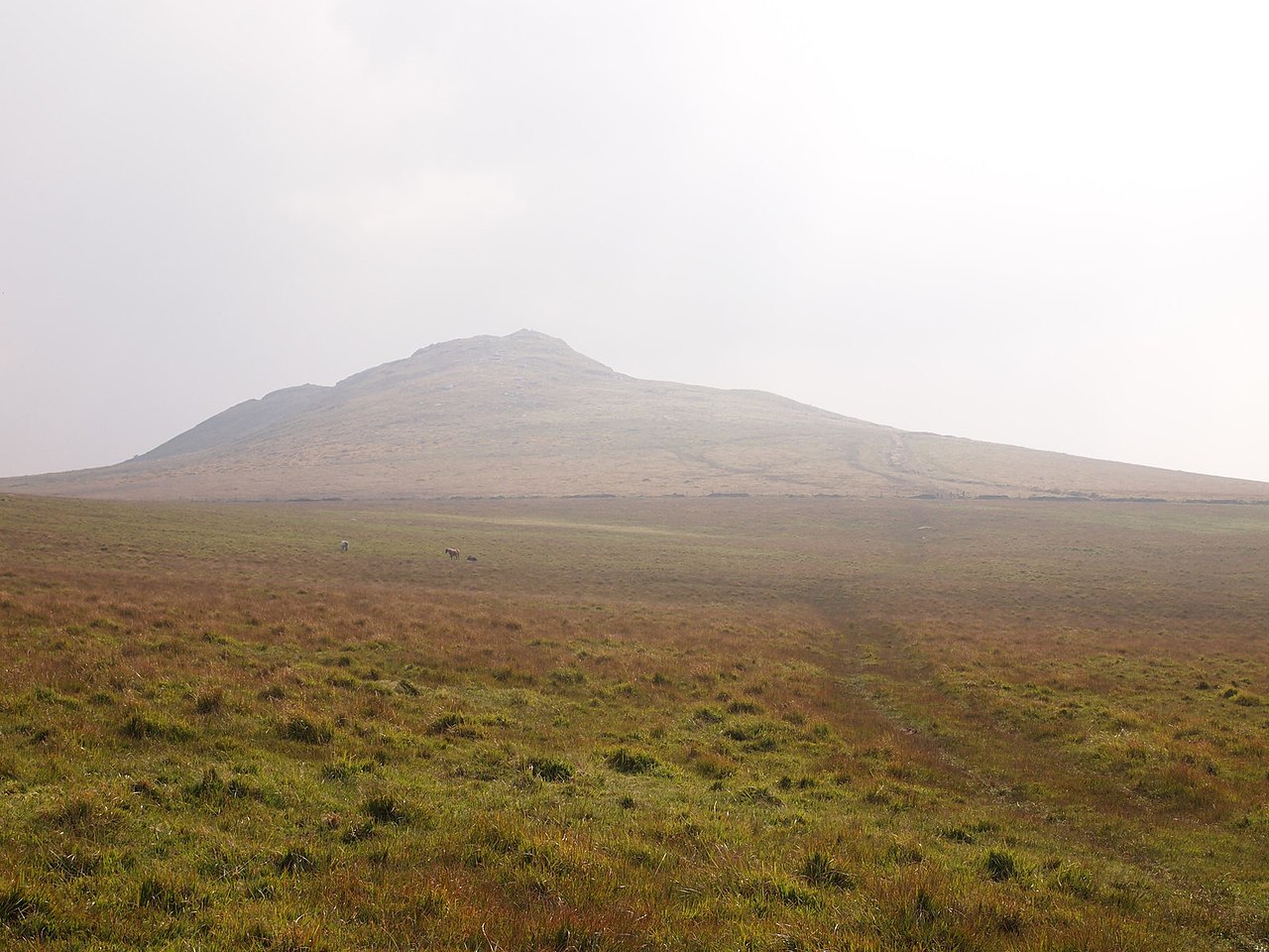
Rough Tor is a named summit in the United Kingdom. Also known as: Torr Garow. Wikidata describes it as: "Named summit at 400 m.". Coordinates: 50.5973°, -4.6220°.
Photo gallery
Protected designations
- Site of Special Scientific Interest: Bodmin Moor, North SSSI
- Site of Special Scientific Interest: River Camel Valley and Tributaries SSSI
- Area of Outstanding Natural Beauty: Cornwall
Designations sourced from Natural England open data under OGL v3.
From the Wikipedia article
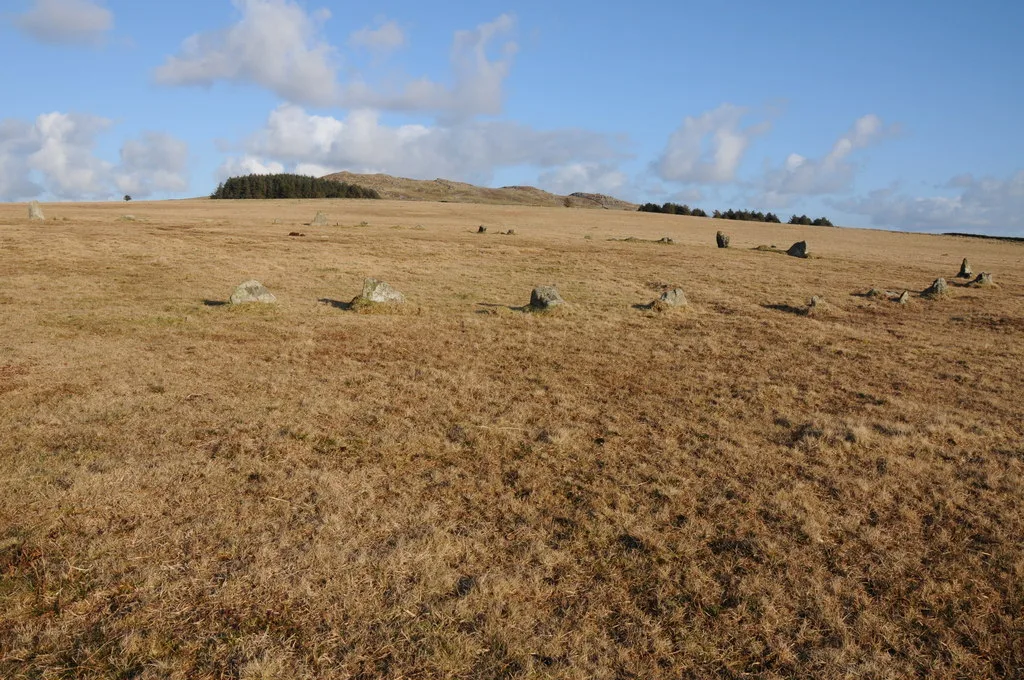
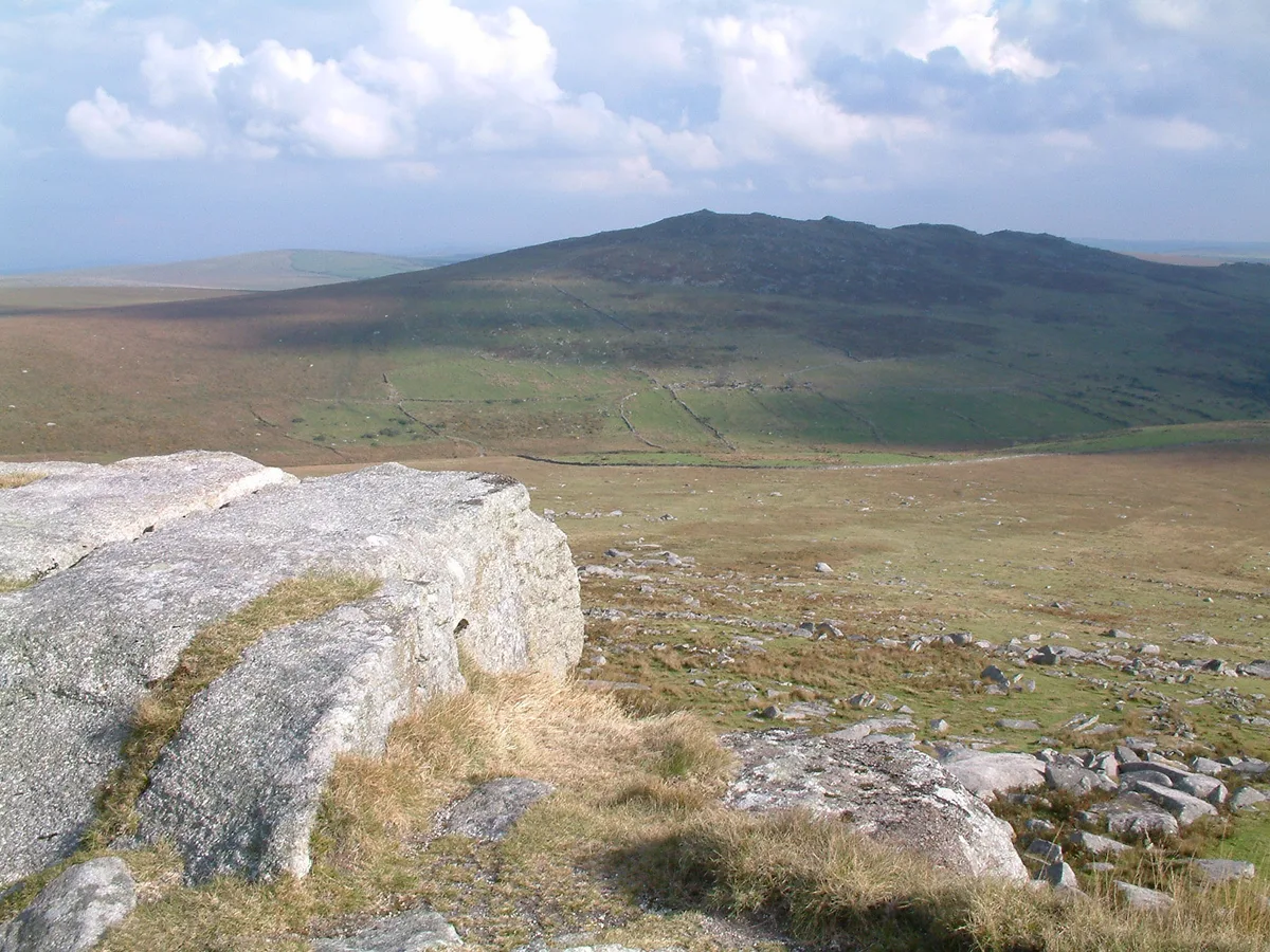
Rough Tor (), or Roughtor, is a tor on Bodmin Moor, Cornwall, England, United Kingdom. The site comprises the tor summit and logan stone, a Neolithic tor enclosure, many Bronze Age hut circles, and some contemporary monuments.
Excerpt from Wikipedia under CC BY-SA 4.0. See the source article linked in Sources below.
- Coordinates
- 50.5973, -4.6220
Sources
- osm: n1580724476 (ODbL)
- wikipedia: Rough Tor (CC BY-SA 4.0)
- commons: RoughTor.jpg (CC BY-SA 4.0)
Other places nearby

43rd Wessex Memorial
Memorials & monuments · 0.0 km

Little Rough Tor
Mountains & hills · 0.4 km

Hut Circles
Archaeological sites · 0.6 km

Showery Tor
Memorials & monuments · 0.6 km

Showery Tor
Mountains & hills · 0.7 km
Fernacre
Hill forts · 0.8 km
Fenacre Stone Circle
Stone circles · 0.8 km

Slades
Historic houses · 1.0 km

Prehistoric standing stone 695m north-west of Showery Tor
Windmills · 1.0 km
Maiden Tor
Mountains & hills · 1.1 km

Dymond Murder Memorial
Memorials & monuments · 1.2 km
Brown Willy
Mountains & hills · 1.6 km
Nearby
📷 3Memorials & monuments · South West England
43rd Wessex Memorial
43rd Wessex Memorial — a memorial in england-south-west, United Kingdom.
📷 5Mountains & hills · South West England
Little Rough Tor
Little Rough Tor — mountain in england south west. Elevation: 373 m.
📷 3Archaeological sites · South West England
Hut Circles
Hut Circles — a archaeological in england-south-west, United Kingdom.
📷 5Memorials & monuments · South West England
Showery Tor
Showery Tor is a rocky outcrop on a ridge-top approximately 0.6 kilometres (0.37 mi) north of the Rough Tor summit, near Camelford on Bodmin Moor in Cornwall. It is notable for its rock formations and
📷 5📷 5Hill forts · South West England
Fernacre
Fernacre — stone circle on Bodmin Moor, Cornwall, England.
Where to eat & stay near Rough Tor
Places to stay
 📷 5
📷 5Caravan parks · South West England
Camelford Caravan Club Site
Camelford Caravan Club Site — a caravan park in england south west.
📷 5Caravan parks · South West England
Juliot's Well Holiday Park
Juliot's Well Holiday Park — a caravan park in england south west.
 📷 5
📷 5Campsites · South West England
South Penquite Farm
South Penquite Farm — a campsite in england south west.
 📷 5
📷 5 📷 5
📷 5Campsites · South West England
Colliford Tavern Camp Site
Colliford Tavern Camp Site — a campsite in england south west.
 📷 5
📷 5Campsites · South West England
Rising Sun Inn Campsite
Rising Sun Inn Campsite — a campsite in england south west.
Places to eat & drink
 📷 7
📷 7Restaurants · South West England
Napoleon Inn
Napoleon Inn — a restaurant in england south west.
 📷 7
📷 7Restaurants · South West England
Nathan Outlaw
Nathan Outlaw — a restaurant in england south west.
 📷 7
📷 7Restaurants · South West England
Outlaws Fish Kitchen
Outlaws Fish Kitchen — a restaurant in england south west.
 📷 7
📷 7Restaurants · South West England
Slipway Hotel
Slipway Hotel — a restaurant in england south west.
 📷 7
📷 7Historic pubs · South West England
Methodist Chapel
Methodist Chapel in England South West, United Kingdom.
 📷 5
📷 5More mountains in this region
 📷 5
📷 5 📷 5
📷 5 📷 5
📷 5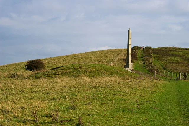 📷 5
📷 5Frequently asked questions
- Where is Rough Tor?
- Rough Tor is in South-West England, United Kingdom.
- What is Rough Tor?
- Rough Tor — Named summit at 400 m.
- How do I get to Rough Tor?
- Its coordinates are 50.5973°, -4.6220°.
- Is Rough Tor a protected site?
- Yes — Rough Tor is part of the Bodmin Moor, North SSSI Site of Special Scientific Interest and the River Camel Valley and Tributaries SSSI Site of Special Scientific Interest.
- Is Rough Tor free to visit?
- Yes, Rough Tor is free to enter.