
Memorials & monuments · South West England
Showery Tor
In or near Altarnun.
Showery Tor is a rocky outcrop on a ridge-top approximately 0.6 kilometres (0.37 mi) north of the Rough Tor summit, near Camelford on Bodmin Moor in Cornwall. It is notable for its rock formations and

Rod Allday — CC BY-SA 2.0 via Wikimedia Commons licence

Plan your visit
- Typical visit
- 15 min–45 min
- Free entry
- Dog-friendly
About
Showery Tor is a rocky outcrop on a ridge-top approximately 0.6 kilometres (0.37 mi) north of the Rough Tor summit, near Camelford on Bodmin Moor in Cornwall. It is notable for its rock formations and prehistoric monuments. The Tor is a prominent landmark for a wide area. It consists of a natural 5-metre (16 ft) outcrop of weathered granite enveloped by a giant man-made ring cairn of stones, each up to 30 metres (98 ft) in diameter and 1.2 metres (3.9 ft) high. Christopher Tilley has estimated the height of the cairn on which the outcrop stands to be 3 metres (9.8 ft). The site was thought to have been a religious focal point, possibly from the Neolithic or Bronze Age period. No excavations have been recorded at the site, and it is not known if any burials were made there. The granite outcrop is reminiscent of the Cheesewring and made of individual blocks on underlying outcrops formed by erosion along horizontal fractures in the granitic mass. Aerial photography has revealed more about the layout of the structures on Showery Tor and it stands out as the only natural formation to have been used in this way by the cairn designers.
Photo gallery
Protected designations
- Site of Special Scientific Interest: Bodmin Moor, North SSSI
- Site of Special Scientific Interest: River Camel Valley and Tributaries SSSI
- Area of Outstanding Natural Beauty: Cornwall
Designations sourced from Natural England open data under OGL v3.
From the Wikipedia article
Showery Tor is a rocky outcrop on a ridge-top approximately 0.6 kilometres (0.37 mi) north of the Rough Tor summit, near Camelford on Bodmin Moor in Cornwall. It is notable for its rock formations and prehistoric monuments. The Tor is a prominent landmark for a wide area. It consists of a natural 5-metre (16 ft) outcrop of weathered granite enveloped by a giant man-made ring cairn of stones, each up to 30 metres (98 ft) in diameter and 1.2 metres (3.9 ft) high. Christopher Tilley has estimated the height of the cairn on which the outcrop stands to be 3 metres (9.8 ft). The site was thought to have been a religious focal point, possibly from the Neolithic or Bronze Age period. No excavations have been recorded at the site, and it is not known if any burials were made there. The granite outcrop is reminiscent of the Cheesewring and made of individual blocks on underlying outcrops formed by erosion along horizontal fractures in the granitic mass. Aerial photography has revealed more about the layout of the structures on Showery Tor and it stands out as the only natural formation to have been used in this way by the cairn designers.
Excerpt from Wikipedia under CC BY-SA 4.0. See the source article linked in Sources below.
- Coordinates
- 50.6014, -4.6158
- Address
- near Camelford, Bodmin Moor, Cornwall
Sources
- wikipedia: Showery Tor (CC BY-SA 4.0)
Other places nearby

Showery Tor
Mountains & hills · 0.1 km

Little Rough Tor
Mountains & hills · 0.3 km

43rd Wessex Memorial
Memorials & monuments · 0.6 km
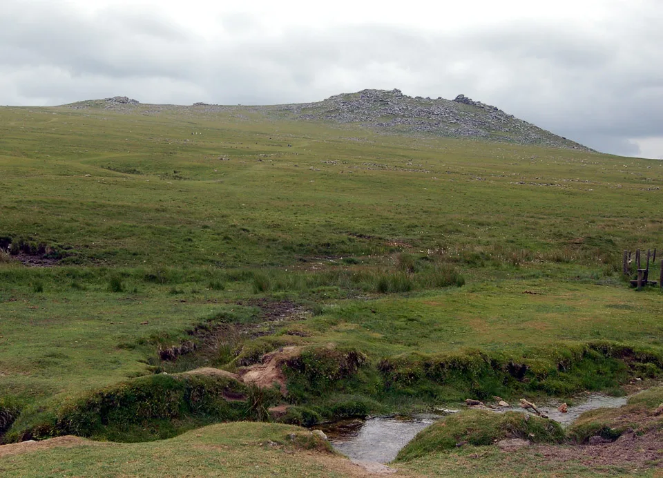
Rough Tor
Mountains & hills · 0.6 km
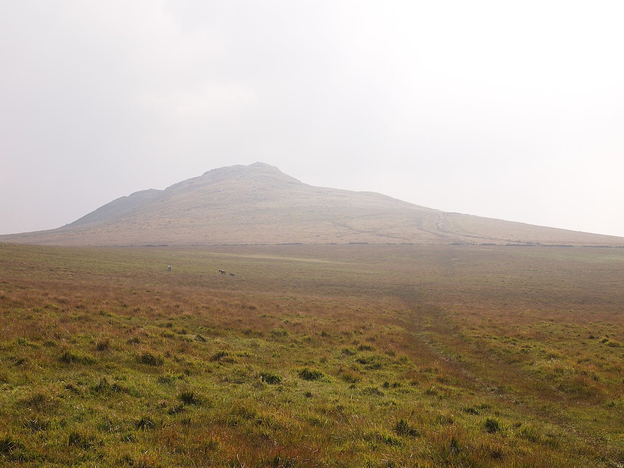
Maiden Tor
Mountains & hills · 0.8 km

Prehistoric standing stone 695m north-west of Showery Tor
Windmills · 0.8 km

Slades
Historic houses · 1.0 km

Hut Circles
Archaeological sites · 1.2 km

Dymond Murder Memorial
Memorials & monuments · 1.2 km
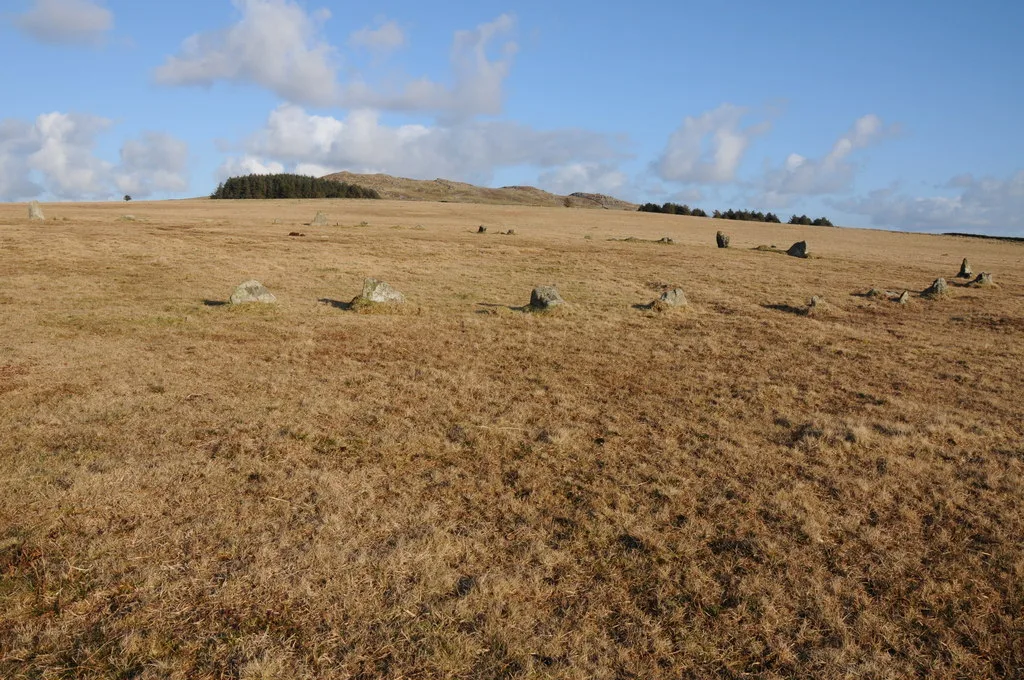
Fernacre
Hill forts · 1.3 km
Fenacre Stone Circle
Stone circles · 1.4 km
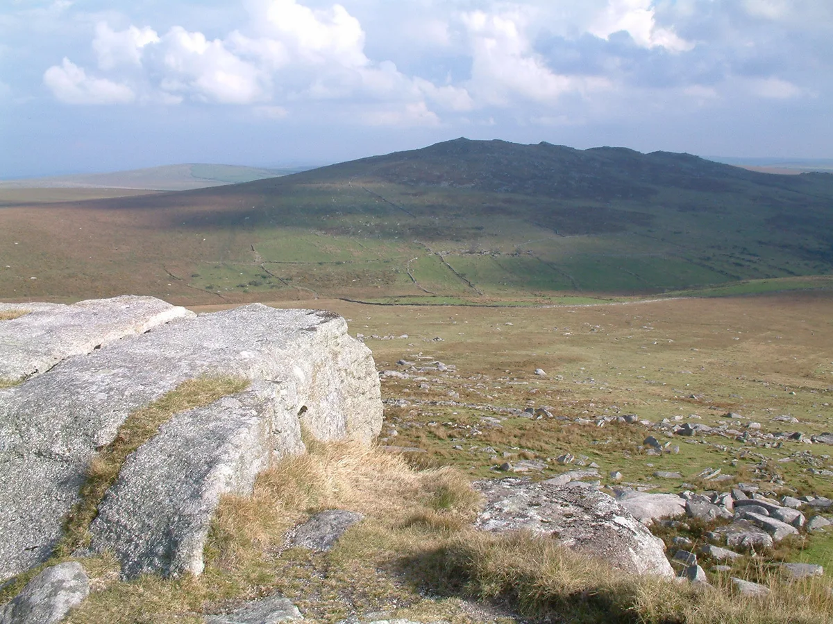
Brown Willy
Mountains & hills · 1.5 km
Nearby
📷 5📷 5Mountains & hills · South West England
Little Rough Tor
Little Rough Tor — mountain in england south west. Elevation: 373 m.
📷 3Memorials & monuments · South West England
43rd Wessex Memorial
43rd Wessex Memorial — a memorial in england-south-west, United Kingdom.
📷 3📷 5Mountains & hills · South West England
Maiden Tor
Maiden Tor — mountain in england south west. Elevation: 334 m.
📷 5Windmills · South West England
Prehistoric standing stone 695m north-west of Showery Tor
Prehistoric standing stone 695m north-west of Showery Tor — a post mill in england-south-west, United Kingdom.
Where to eat & stay near Showery Tor
Places to stay
 📷 5
📷 5Caravan parks · South West England
Camelford Caravan Club Site
Camelford Caravan Club Site — a caravan park in england south west.
📷 5Caravan parks · South West England
Juliot's Well Holiday Park
Juliot's Well Holiday Park — a caravan park in england south west.
 📷 5
📷 5 📷 5
📷 5Campsites · South West England
Rising Sun Inn Campsite
Rising Sun Inn Campsite — a campsite in england south west.
 📷 5
📷 5Campsites · South West England
Colliford Tavern Camp Site
Colliford Tavern Camp Site — a campsite in england south west.
 📷 5
📷 5Campsites · South West England
South Penquite Farm
South Penquite Farm — a campsite in england south west.
Places to eat & drink
 📷 7
📷 7Restaurants · South West England
Napoleon Inn
Napoleon Inn — a restaurant in england south west.
 📷 7
📷 7Restaurants · South West England
Nathan Outlaw
Nathan Outlaw — a restaurant in england south west.
 📷 7
📷 7Restaurants · South West England
Outlaws Fish Kitchen
Outlaws Fish Kitchen — a restaurant in england south west.
 📷 7
📷 7Restaurants · South West England
Slipway Hotel
Slipway Hotel — a restaurant in england south west.
 📷 7
📷 7Historic pubs · South West England
Methodist Chapel
Methodist Chapel in England South West, United Kingdom.
 📷 7
📷 7Historic pubs · South West England
The Bell Inn And Attached Wall And Coach House
The Bell Inn And Attached Wall And Coach House in England South West, United Kingdom.
More memorials in this region
 📷 5
📷 5Memorials & monuments · South West England
Bath Cenotaph
Bath Cenotaph is a memorial in the United Kingdom.
 📷 5
📷 5Memorials & monuments · South West England
Cross of Sacrifice
Cross of Sacrifice is a memorial in the United Kingdom.
 📷 5
📷 5Memorials & monuments · South West England
Grange Arch
Grange Arch is a memorial in the United Kingdom.
.jpg?width=1200) 📷 5
📷 5Memorials & monuments · South West England
King Alfred Memorial
King Alfred Memorial is a memorial in the United Kingdom.
Frequently asked questions
- Where is Showery Tor?
- Showery Tor is in South-West England, United Kingdom.
- What is Showery Tor?
- Showery Tor is a rocky outcrop on a ridge-top approximately 0.6 kilometres (0.37 mi) north of the Rough Tor summit, near Camelford on Bodmin Moor in Cornwall. It is notable for its rock formations and
- How do I get to Showery Tor?
- Its coordinates are 50.6014°, -4.6158°.
- Who owns Showery Tor?
- Showery Tor is owned by | designation1 =.
- Is Showery Tor a protected site?
- Yes — Showery Tor is part of the Bodmin Moor, North SSSI Site of Special Scientific Interest and the River Camel Valley and Tributaries SSSI Site of Special Scientific Interest.
- Is Showery Tor free to visit?
- Yes, Showery Tor is free to enter.