
Wildlife reserves · East of England
Ray Island
In or near Little Wigborough.
Ray Island — Essex Wildlife Trust Nature reserve.

Wikimedia Commons contributors — see linked file page for photographer and licence licence

Plan your visit
- Typical visit
- 2 h–4 h
- Best time of year
- Autumn & winter (migration & wildfowl)
- Nearest railway station
- Wivenhoe · 7.7 km
- Free entry
- Family-friendly
- Dog-friendly
- Limited wheelchair access
Getting there & planning your visit
To visit Ray Island, the nearest railway station is Wivenhoe, located 7.7 km away. The postcode for sat-nav is CO5 7QL, and entry to the reserve is free. Accessibility is limited for wheelchair users.
About
Ray Island is a wildlife reserve in the United Kingdom. It covers approximately 41 km². Managed by Essex Wildlife Trust. Wikidata describes it as: "Essex Wildlife Trust Nature reserve". Coordinates: 51.7944°, 0.9069°.
Photo gallery
Protected designations
- Site of Special Scientific Interest: Blackwater Estuary SSSI
- Ramsar wetland: Blackwater Estuary (Mid-Essex Coast Phase 4)
Designations sourced from Natural England open data under OGL v3.
From the Wikipedia article
Ray Island, also known as the Ray, is a 40.5-hectare (100-acre) nature reserve west of Mersea Island in Essex. The site is a sandy hill rising out of an area of saltmarsh between Strood Channel and Ray Channel. The island is owned by the National Trust, who bought it in 1970. It was leased by the National Trust to the Essex Wildlife Trust, which managed the site. Following the cessation of the lease, the National Trust has resumed responsibility for the island's management.
Excerpt from Wikipedia under CC BY-SA 4.0. See the source article linked in Sources below.
Background
Visiting
General public access is by boat via the Ray Channel from Mersea. If using your own boat, it is important to check the state and times of the tide. Camping, barbecues and fires are banned by the trust.
Sourced from Wikipedia under CC BY-SA 4.0.
- Coordinates
- 51.7944, 0.9069
- County
- Essex
- District
- Colchester
- Parish
- Peldon
- Postcode
- CO5 7QL
- Parliamentary constituency
- Harwich and North Essex
- Nearest railway station
- Wivenhoe — 7.7 km
- Official site
- www.essexwt.org.uk
Sources
- wikidata: Q7297651 (CC0)
- wikipedia: Ray Island (CC BY-SA 4.0)
- commons: Towards Sampson's Creek - geograph.org.uk - 45917.jpg (CC BY-SA 4.0)
Other places nearby

Peldon Rose Public House
Historic pubs · 1.3 km

Mersea Mount
Archaeological sites · 1.7 km

West Mersea
Museums · 1.9 km

Barfield Road Cemetery
Cemeteries · 1.9 km
The Sensory Garden
Gardens · 1.9 km
British Legion Hall Cinema
Theatres · 2.0 km

Mersea Island Museum
Museums · 2.2 km
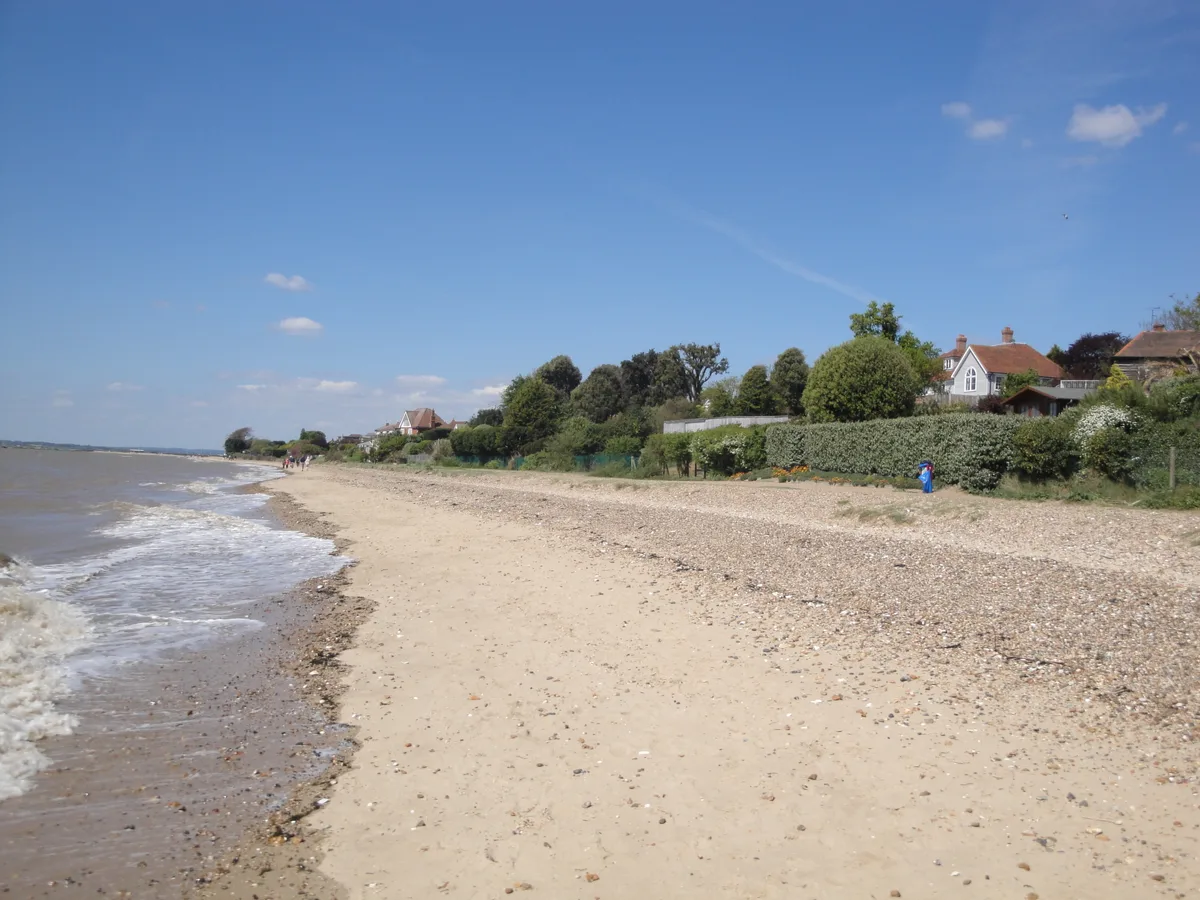
Mersea Island
Islands · 2.3 km

Peldon
Villages · 2.6 km

Cobmarsh Island
Islands · 2.6 km

Seaview
Caravan parks · 2.8 km

Little Wigborough
Towns & cities · 2.8 km
Nearby
📷 7Historic pubs · East of England
Peldon Rose Public House
Peldon Rose Public House in England East, United Kingdom.
📷 3Archaeological sites · East of England
Mersea Mount
Mersea Mount — an archaeological site in East of England, United Kingdom.
📷 5Museums · East of England
West Mersea
West Mersea — a museum in england-east, United Kingdom.
📷 3Cemeteries · East of England
Barfield Road Cemetery
Barfield Road Cemetery is a cemetery in the United Kingdom.
📷 3Gardens · East of England
The Sensory Garden
The Sensory Garden — a garden in East of England, United Kingdom.
📷 3Theatres · East of England
British Legion Hall Cinema
British Legion Hall Cinema in England East, United Kingdom.
Where to eat & stay near Ray Island
Places to stay
📷 5 📷 5
📷 5 📷 5
📷 5Caravan parks · East of England
Coopers Beach Holiday Park
Coopers Beach Holiday Park — a caravan park in england east. Brand: Parkdean Resorts.
 📷 5📷 5
Caravan parks · East of England
Mersea Island Holiday Park
Mersea Island Holiday Park — a caravan park in england east.
 📷 5
📷 5Caravan parks · East of England
Brightlingsea Leisure Village
Brightlingsea Leisure Village — a caravan park in england east.
Places to eat & drink
📷 7Historic pubs · East of England
Peldon Rose Public House
Peldon Rose Public House in England East, United Kingdom.
 📷 7
📷 7Historic pubs · East of England
Dog And Pheasant Public House
Dog And Pheasant Public House in England East, United Kingdom.
 📷 5
📷 5Historic pubs · East of England
The King's Head Public House
The King's Head Public House in England East, United Kingdom.
 📷 7
📷 7Historic pubs · East of England
Donkey And Buskins Public House
Donkey And Buskins Public House in England East, United Kingdom.
 📷 7
📷 7Historic pubs · East of England
The Ipswich Arms Public House
The Ipswich Arms Public House in England East, United Kingdom.
 📷 7
📷 7Historic pubs · East of England
The Brewers Arms Public House
The Brewers Arms Public House in England East, United Kingdom.
More places run by Essex Wildlife Trust
 Flagship📷 10
Wildlife reserves · London
Bedfords Park
Bedfords Park — Havering London Borough green landscape, also an Essex Wildlife Trust Nature reserve.
 Flagship📷 10
Wildlife reserves · London
Chafford Gorges Nature Park
Chafford Gorges Nature Park — Essex Wildlife Trust Nature reserve.
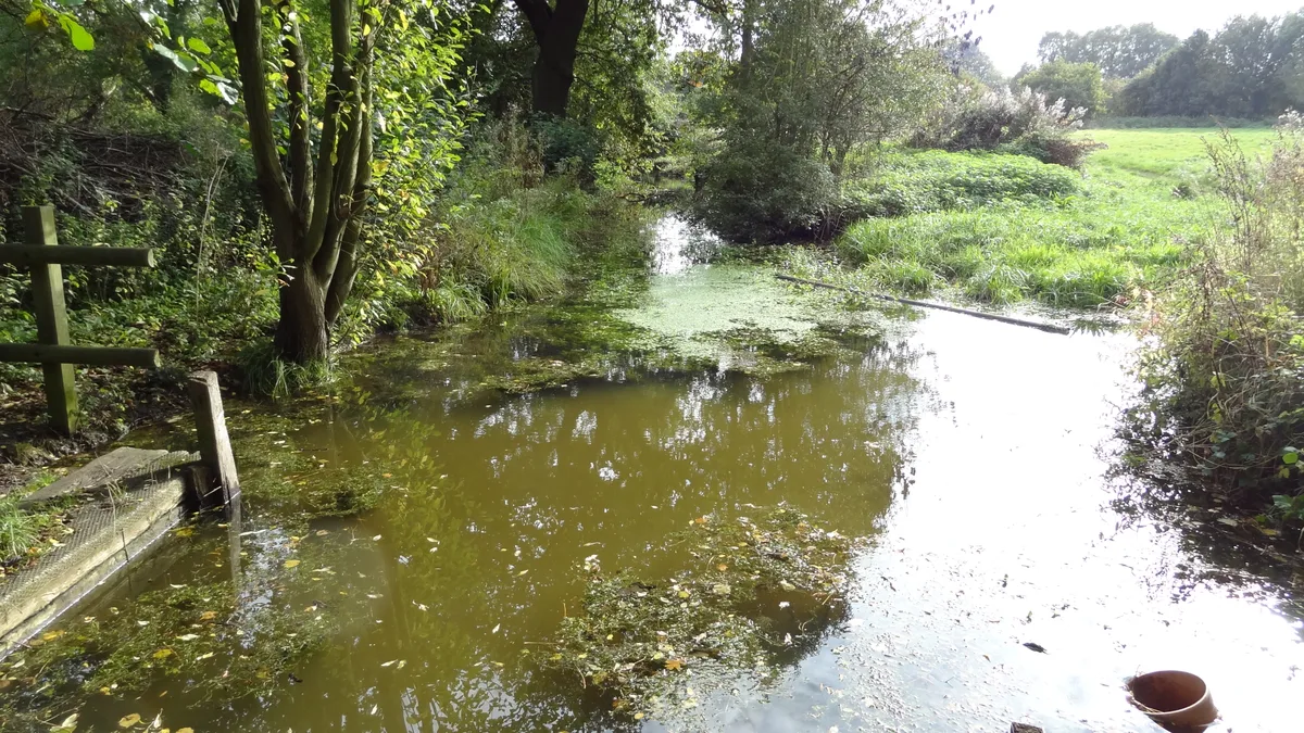 Flagship📷 10
Wildlife reserves · London
Cranham Marsh
Cranham Marsh — Essex Wildlife Trust Nature reserve in the London Borough of Havering, England, UK.
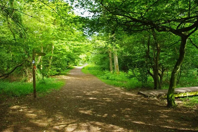 Flagship📷 10
Wildlife reserves · London
Gernon Bushes
Gernon Bushes — Essex Wildlife Trust Nature reserve.
More places in this region
 Flagship📷 10
Wildlife reserves · East of England
Amwell Quarry
Amwell Quarry — nature reserve in United Kingdom.
 Flagship📷 10
Wildlife reserves · East of England
Aubrey Buxton Nature Reserve
Aubrey Buxton Nature Reserve — Essex Wildlife Trust Nature reserve.
 Flagship📷 10
Wildlife reserves · East of England
Canvey Wick
Canvey Wick — nature reserve in Essex, United Kingdom.
 Flagship📷 10
Wildlife reserves · East of England
Crowsheath Wood
Crowsheath Wood — Essex Wildlife Trust Nature reserve.
Frequently asked questions
- Where is Ray Island?
- Ray Island is in Essex, East of England, United Kingdom (postcode CO5 7QL), in the parish of Peldon.
- What is Ray Island?
- Ray Island — Essex Wildlife Trust Nature reserve.
- How do I get to Ray Island?
- The nearest railway station is Wivenhoe, about 7.7 km away. The nearest town is Little Wigborough. Drivers can use postcode CO5 7QL.
- Who owns Ray Island?
- Ray Island is owned by National Trust and operated by Essex Wildlife Trust.
- Is Ray Island a protected site?
- Yes — Ray Island is part of the Blackwater Estuary SSSI Site of Special Scientific Interest and the Blackwater Estuary (Mid-Essex Coast Phase 4) Ramsar wetland.
- Is Ray Island free to visit?
- Yes, Ray Island is free to enter.
- How do I get to Ray Island?
- The nearest railway station is Wivenhoe, about 7.7 km away. Drivers can navigate to postcode CO5 7QL.
- Are dogs allowed at Ray Island?
- Most wildlife reserves allow dogs on lead only, with restrictions during ground-nesting bird season (March-July). Check signage at the reserve.