
Wildlife reserves · London
Bedfords Park
In or near Havering-atte-Bower.
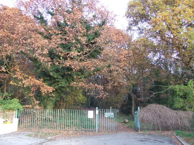
Bedfords Park — Havering London Borough green landscape, also an Essex Wildlife Trust Nature reserve.

Wikimedia Commons contributors — see linked file page for photographer and licence licence

Plan your visit
- Typical visit
- 2 h–4 h
- Best time of year
- Autumn & winter (migration & wildfowl)
- Nearest railway station
- Gidea Park · 3.1 km
- Free entry
- Family-friendly
- Dog-friendly
- Limited wheelchair access
Getting there & planning your visit
To visit Bedfords Park, the nearest railway station is Gidea Park, located 3.1 km away. Admission is free, but please note that wheelchair accessibility is limited. The postcode for sat-nav is RM1 4FA.
About
Bedfords Park is a wildlife reserve in the United Kingdom. It covers approximately 87 km². Managed by Essex Wildlife Trust. Wikidata describes it as: "Havering London Borough green landscape, also an Essex Wildlife Trust Nature reserve". Coordinates: 51.6086°, 0.1920°.
Photo gallery
Summary from the official site
Bedfords Park is a historic 215-acre green space located between Collier Row and Harold Hill, recognized as a Local Nature Reserve. Visitors can explore diverse landscapes, including woodlands and meadows, and observe a herd of captive red deer. The park features a visitor centre run by the Essex Wildlife Trust, which offers educational activities and panoramic views of East London.
Read more on the official property page.
From the Wikipedia article
Bedfords Park is public open space of 215 acres or approximately 87½ hectares near Havering-atte-Bower in the London Borough of Havering in England. It is one of three large parklands around Havering-atte-Bower; the others are Havering Country Park and Pyrgo Park. Bedfords Park is a Site of Metropolitan Importance for Nature Conservation and a local nature reserve. It was awarded a Green Flag Award in 2007 which was maintained at least until 2013. The site is managed by Havering Council and the visitor centre is managed by the Essex Wildlife Trust.
Excerpt from Wikipedia under CC BY-SA 4.0. See the source article linked in Sources below.
Background
History
The land that makes up Bedfords Park originates in the two adjoining estates of Bedfords, believed to be named after the family of Robert de Bedford mentioned in 1285 and John Bedford who held the land in 1362, and Earls which later became known as Upper Bedfords. The latter was taken from John Derewin in 1212 by King John as forfeiture for homicide The manor, which is one of the olderst in Havering and was one of four held in serjeanty, remained in the family at least until the time of the 5th Earl. After being sold out of Gobions Manor, the ownership was in the hands of various London merchants until 1771 when it was sold by Nathaniel Houlton to a Mr John Heaton. During this time there is…
Description
John Heaton rebuilt the house at Bedfords as a two-storey brick mansion rendered with cement, and resided there until his death in 1818. Upper Bedfords (previously Earls) was also rebuilt during this time in a crenelated style, including a tower which has often caused it to be mistaken for a church. It was also around this time that a captive herd of red deer were introduced. During World War II Bedfords House was used by the Auxiliary Fire Service and afterwards was used as the council archive but was gradually allowed to fall into disrepair until it was demolished in 1959. In the 1960s a cafe was built on the site of the house until this also fell out of use in the 1980s. Today the route…
Sourced from Wikipedia under CC BY-SA 4.0.
- Coordinates
- 51.6086, 0.1920
- District
- Havering
- Parish
- Havering, unparished area
- Postcode
- RM1 4FA
- Parliamentary constituency
- Romford
- Nearest railway station
- Gidea Park — 3.1 km
- Official site
- www.havering.gov.uk
Sources
- wikidata: Q4879230 (CC0)
- wikipedia: Bedfords Park (CC BY-SA 4.0)
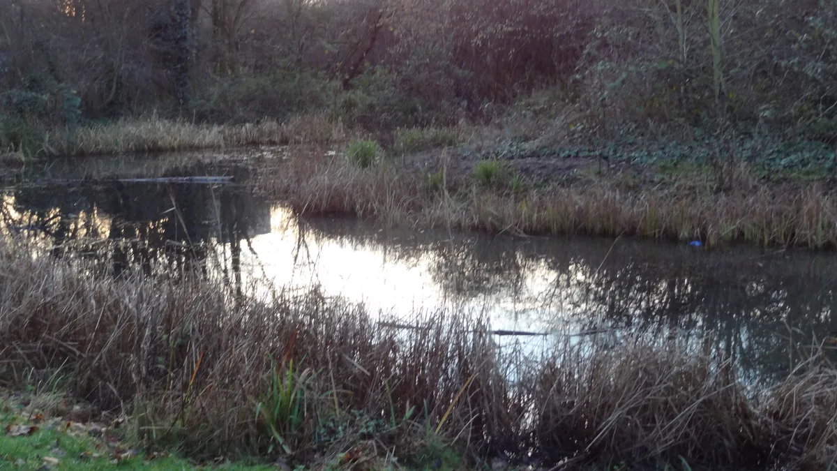
- commons: Sunset over Bedfords Park pond - geograph.org.uk - 1110486.jpg (CC BY-SA 4.0)
Other places nearby

Stable Block At The Bower House
Historic houses · 0.8 km
.jpg?width=1200)
Bower House
Historic houses · 0.8 km

Havering atte Bower
Villages · 0.9 km
.jpg?width=1200)
The Round House
Historic houses · 1.0 km

Chase Cross
Chapels · 1.1 km

Havering Palace
Stately homes · 1.3 km
Pyrgo Park
Palaces · 1.3 km

Havering-atte-Bower
Towns & cities · 1.3 km

Rise Park
Chapels · 1.4 km

Havering Country Park
Parks · 1.4 km

Gidea Park
Chapels · 1.9 km

Collier Row
Chapels · 2.1 km
Nearby
📷 5Historic houses · London
Stable Block At The Bower House
Stable Block At The Bower House — a Grade I-listed historic house in england-london, United Kingdom.
📷 5Historic houses · London
Bower House
Bower House — country house in Havering, London, UK.
📷 5📷 5Historic houses · London
The Round House
The Round House — Georgian villa in outer London.
📷 5📷 5Where to eat & stay near Bedfords Park
Places to stay
 📷 5
📷 5Campsites · London
Lambourne End Centre for Outdoor Learning
Lambourne End Centre for Outdoor Learning — a campsite in england london.
 📷 5
📷 5Campsites · London
Woodland Camp Event Centre
Woodland Camp Event Centre — a campsite in england london.
 📷 5
📷 5Hotels · London
Devonshire Hotel
Devonshire Hotel — a hotel in england london.
 📷 5
📷 5Hotels · London
The Marygreen Manor Hotel
The Marygreen Manor Hotel — a hotel in england london.
 📷 5
📷 5Campsites · London
Kelvedon Hatch Camping and Caravanning Club
Kelvedon Hatch Camping and Caravanning Club — a campsite in england london.
 📷 5
📷 5Places to eat & drink
 📷 5
📷 5 📷 5
📷 5 📷 5
📷 5 📷 5
📷 5 📷 5
📷 5 📷 6
📷 6More places run by Essex Wildlife Trust
 Flagship📷 10
Wildlife reserves · London
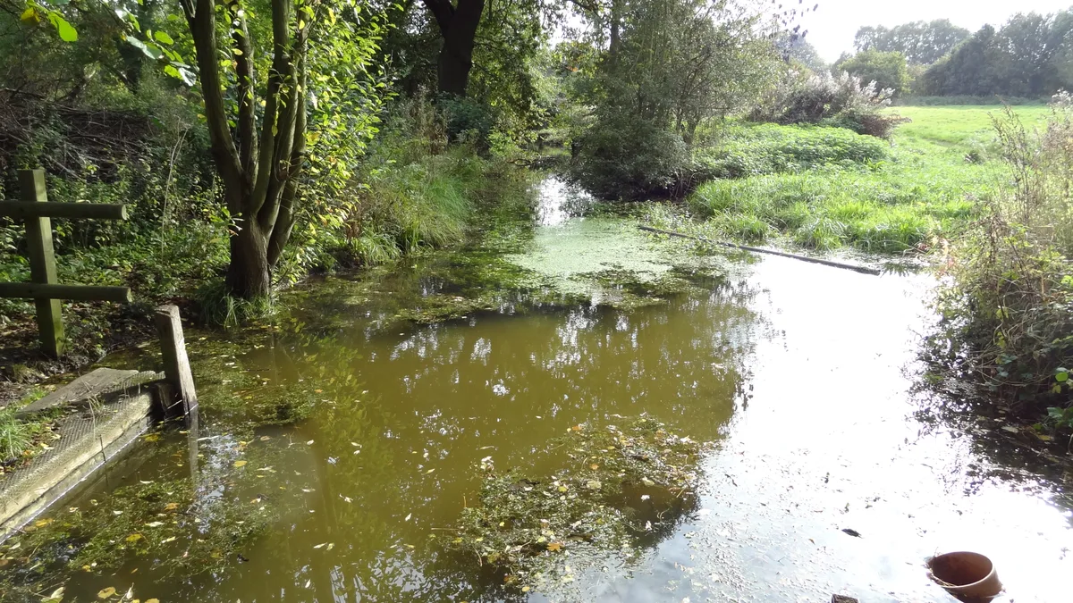
Chafford Gorges Nature Park
Chafford Gorges Nature Park — Essex Wildlife Trust Nature reserve.
 Flagship📷 10
Wildlife reserves · London
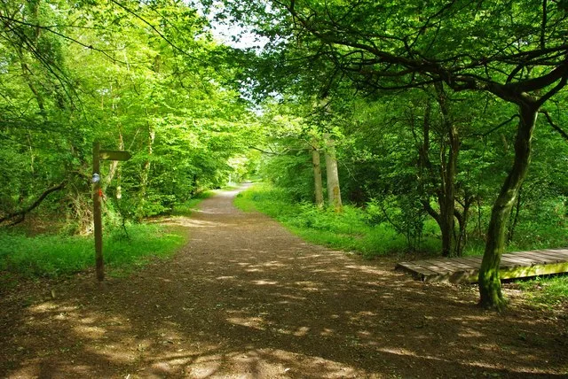
Cranham Marsh
Cranham Marsh — Essex Wildlife Trust Nature reserve in the London Borough of Havering, England, UK.
 Flagship📷 10
Wildlife reserves · London
Gernon Bushes
Gernon Bushes — Essex Wildlife Trust Nature reserve.
 Flagship📷 10
Wildlife reserves · London
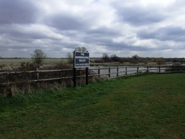
Ingrebourne Valley
Ingrebourne Valley — Essex Wildlife Trust Nature reserve.
More places in this region
 Flagship📷 10
 Flagship📷 10
Wildlife reserves · London
Bramley Bank
Bramley Bank — Nature reserve in Upper Shirley.
 Flagship📷 10
 Flagship📷 10
Wildlife reserves · London
Gillespie Park
Gillespie Park — nature reserve in the London Borough of Islington.
Frequently asked questions
- Where is Bedfords Park?
- Bedfords Park is in London, United Kingdom (postcode RM1 4FA), in the parish of Havering, unparished area.
- What is Bedfords Park?
- Bedfords Park — Havering London Borough green landscape, also an Essex Wildlife Trust Nature reserve.
- How do I get to Bedfords Park?
- The nearest railway station is Gidea Park, about 3.1 km away. The nearest town is Havering-atte-Bower. Drivers can use postcode RM1 4FA.
- Who owns Bedfords Park?
- Bedfords Park is owned by Havering Council and operated by Essex Wildlife Trust.
- Is Bedfords Park free to visit?
- Yes, Bedfords Park is free to enter.
- How do I get to Bedfords Park?
- The nearest railway station is Gidea Park, about 3.1 km away. Drivers can navigate to postcode RM1 4FA.
- Are dogs allowed at Bedfords Park?
- Most wildlife reserves allow dogs on lead only, with restrictions during ground-nesting bird season (March-July). Check signage at the reserve.