
Wildlife reserves · East of England
Ranworth Broad
In or near Horning.
Ranworth Broad is a wildlife reserve in the United Kingdom.

Wikimedia Commons contributors — see linked file page for photographer and licence licence

Plan your visit
- Typical visit
- 2 h–4 h
- Best time of year
- Autumn & winter (migration & wildfowl)
- Nearest railway station
- Hoveton and Wroxham · 6.0 km
- Free entry
- Dog-friendly
Getting there & planning your visit
To visit Ranworth Broad, the nearest railway station is Hoveton and Wroxham, which is 6 km away. The postcode for sat-nav is NR13 6HR. Entry to the wildlife reserve is free.
About
Ranworth Broad is a wildlife reserve in the United Kingdom. Coordinates: 52.6850°, 1.4814°. This entry is part of The Great Britain Guide, a free, ad-free, open-data tourist directory.
Photo gallery
Protected designations
- Site of Special Scientific Interest: Bure Broads and Marshes SSSI
- National Nature Reserve: BURE MARSHES
- Ramsar wetland: Broadland
Designations sourced from Natural England open data under OGL v3.
From the Wikipedia article
Ranworth Broad is a 136-hectare (340-acre) nature reserve on the Norfolk Broads north-east of Norwich in Norfolk, United Kingdom. It is managed by the Norfolk Wildlife Trust. it is part of Bure Broads and Marshes Site of Special Scientific Interest and Bure Marshes Nature Conservation Review site, Grade I and National Nature Reserve. It is also part of the Broadland Ramsar site and Special Protection Area, and The Broads Special Area of Conservation. Many species of birds can be seen from the floating Broads Wildlife Centre such as great crested grebes, wigeons, gadwalls, kingfishers and cormorants. There are also areas of woodland and reedbeds. The poet and critic Edward Thomas spent a holiday on a houseboat on Ranworth Broad with his son and a group of friends in the summer of 1913 at the invitation of the poet and writer Eleanor Farjeon, while Thomas's wife Helen was in Switzerland.
Excerpt from Wikipedia under CC BY-SA 4.0. See the source article linked in Sources below.
- Coordinates
- 52.6850, 1.4814
- County
- Norfolk
- District
- Broadland
- Parish
- Woodbastwick
- Postcode
- NR13 6HR
- Parliamentary constituency
- Broadland and Fakenham
- Nearest railway station
- Hoveton and Wroxham — 6 km
Sources
- wikidata: Q7293643 (CC0)
- wikipedia: Ranworth Broad (CC BY-SA 4.0)
- commons: Ranworth Broad - geograph.org.uk - 2392296.jpg (CC BY-SA 4.0)
Other places nearby

Wildlife Centre
Natural landmarks · 0.5 km
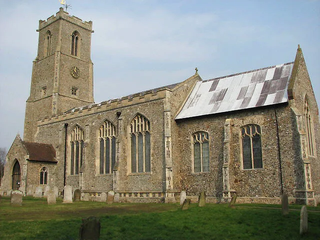
Church of St Helen
Historic churches · 0.6 km

Ranworth Church Village Sign
Public art & sculpture · 0.7 km

Ranworth
Villages · 0.7 km
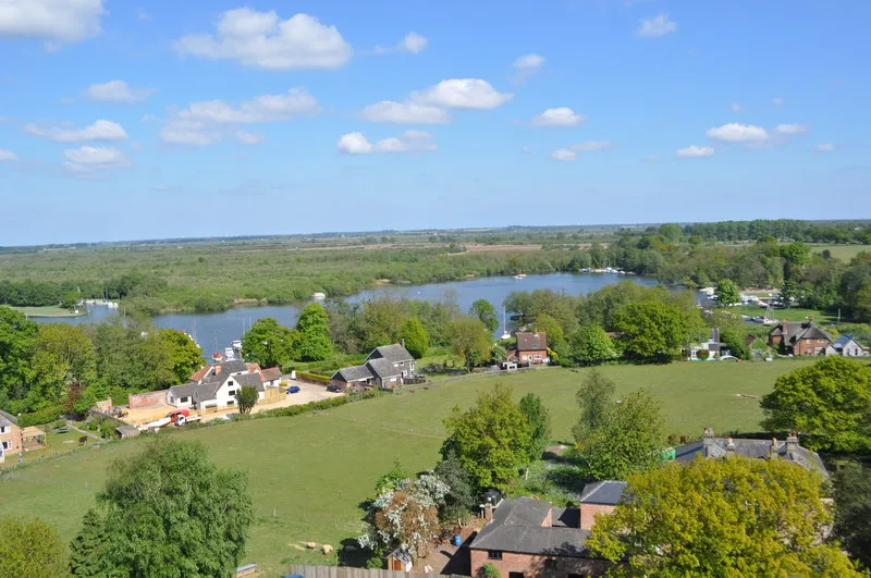
Malthouse Broad
Natural landmarks · 0.8 km
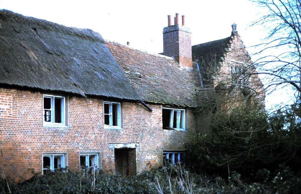
Ranworth Old Hall
Stately homes · 0.9 km

Ranworth Village Sign
Public art & sculpture · 1.0 km

Hobb's Mill
Windmills · 1.1 km

Horning War Memorial
Memorials & monuments · 1.2 km
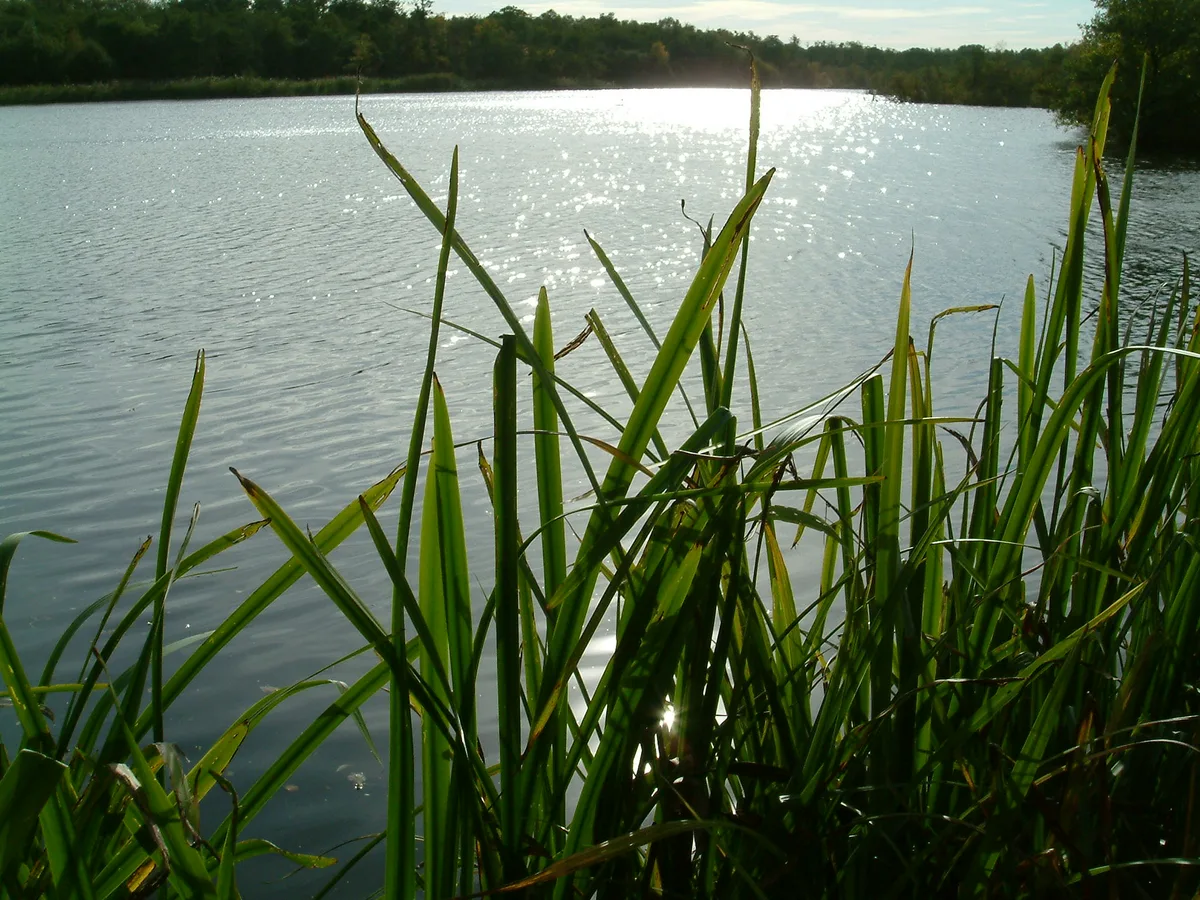
Cockshoot Broad
Natural landmarks · 1.6 km

South Walsham Broad
Lakes · 1.8 km
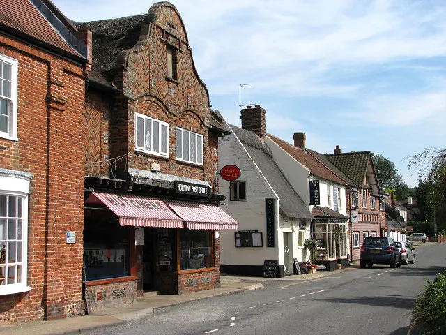
Horning
Towns & cities · 1.9 km
Nearby
📷 3Natural landmarks · East of England
Wildlife Centre
Wildlife Centre — a place in East of England, United Kingdom.
📷 5Historic churches · East of England
Church of St Helen
Church of St Helen — church in Ranworth, Norfolk, England, UK.
📷 3Public art & sculpture · East of England
Ranworth Church Village Sign
Ranworth Church Village Sign — a public art in East of England, United Kingdom.
📷 5📷 3Natural landmarks · East of England
Malthouse Broad
Malthouse Broad — lake in the United Kingdom.
📷 3Stately homes · East of England
Ranworth Old Hall
Ranworth Old Hall — manor house in Woodbastwick, Norfolk, England, UK.
Where to eat & stay near Ranworth Broad
Places to stay
 📷 5
📷 5Campsites · East of England
Decoy Broad Campsite
Decoy Broad Campsite — a campsite in england east.
 📷 5
📷 5 📷 5
📷 5 📷 5
📷 5Campsites · East of England
Camping Corner
Camping Corner — a campsite in england east.
 📷 5
📷 5 📷 5
📷 5Places to eat & drink
 📷 7
📷 7Historic pubs · East of England
Recruiting Sergeant Inn
Recruiting Sergeant Inn in England East, United Kingdom.
 📷 5
📷 5 📷 5
📷 5Restaurants · East of England
The Town House
The Town House — a restaurant in england east. Brand: Stonehouse Pizza and Carvery.
 📷 7
📷 7Historic pubs · East of England
The Castle Public House
The Castle Public House in England East, United Kingdom.
 📷 7
📷 7Historic pubs · East of England
Lollards Pit
Lollards Pit in England East, United Kingdom.
 📷 5
📷 5Historic pubs · East of England
Coach & Horses
Coach & Horses in England East, United Kingdom.
More places in this region
 Flagship📷 10
Wildlife reserves · East of England
Amwell Quarry
Amwell Quarry — nature reserve in United Kingdom.
 Flagship📷 10
Wildlife reserves · East of England
Aubrey Buxton Nature Reserve
Aubrey Buxton Nature Reserve — Essex Wildlife Trust Nature reserve.
 Flagship📷 10
Wildlife reserves · East of England
Canvey Wick
Canvey Wick — nature reserve in Essex, United Kingdom.
 Flagship📷 10
Wildlife reserves · East of England
Crowsheath Wood
Crowsheath Wood — Essex Wildlife Trust Nature reserve.
Frequently asked questions
- Where is Ranworth Broad?
- Ranworth Broad is in Norfolk, East of England, United Kingdom (postcode NR13 6HR), in the parish of Woodbastwick.
- What is Ranworth Broad?
- Ranworth Broad is a wildlife reserve in the United Kingdom.
- How do I get to Ranworth Broad?
- The nearest railway station is Hoveton and Wroxham, about 6.0 km away. The nearest town is Horning. Drivers can use postcode NR13 6HR.
- Who owns Ranworth Broad?
- Ranworth Broad is owned by Norfolk Wildlife Trust.
- Is Ranworth Broad a protected site?
- Yes — Ranworth Broad is part of the Bure Broads and Marshes SSSI Site of Special Scientific Interest and the BURE MARSHES National Nature Reserve.
- Is Ranworth Broad free to visit?
- Yes, Ranworth Broad is free to enter.
- How do I get to Ranworth Broad?
- The nearest railway station is Hoveton and Wroxham, about 6.0 km away. Drivers can navigate to postcode NR13 6HR.
- Are dogs allowed at Ranworth Broad?
- Most wildlife reserves allow dogs on lead only, with restrictions during ground-nesting bird season (March-July). Check signage at the reserve.