
Windmills · East of England
Hobb's Mill
In or near Horning.
Hobb's Mill — Grade II* listed building-listed windmill in england-east, United Kingdom.

Ian Capper — CC BY-SA 2.0 via Wikimedia Commons licence

Plan your visit
- Typical visit
- 30 min–1 h
- Nearest railway station
- Hoveton and Wroxham · 5.0 km
- Free entry
- Family-friendly
- Dog-friendly
Getting there & planning your visit
To visit Hobb's Mill, the nearest railway station is Hoveton and Wroxham, located 5 km away. The postcode for sat-nav is NR12 8PT, and entry to the mill is free.
About
Hobb's Mill is a Grade II* listed building-listed windmill in england-east, United Kingdom, registered on the National Heritage List for England (NHLE entry 1171625). Listed status protects buildings and structures of special architectural or historic interest. See the linked Wikipedia article for further details.
Photo gallery
Heritage listing
Hobb's Mill, also known as Hobbs Drainage Mill, is an open trestle windpump which stands by the side of the River Bure in Horning, North Norfolk, England, and is a Grade II* listed structure. The mill was built before 1930, probably in the late 19th century. The frame is made of wood, with four braced cant posts standing on brick piers supporting a weatherboarded cap and fantail. In the picture, the four sails are missing. The mill was unique in that it was the only trestle mill to operate a scoop wheel.
From the Historic England List Entry under OGL v3.
Protected designations
- Site of Special Scientific Interest: Bure Broads and Marshes SSSI
- National Nature Reserve: BURE MARSHES
- Ramsar wetland: Broadland
Designations sourced from Natural England open data under OGL v3.
From the Wikipedia article
Hobb's Mill, also known as Hobbs Drainage Mill, is an open trestle windpump which stands by the side of the River Bure in Horning, North Norfolk, England, and is a Grade II* listed structure. The mill was built before 1930, probably in the late 19th century. The frame is made of wood, with four braced cant posts standing on brick piers supporting a weatherboarded cap and fantail. In the picture, the four sails are missing. The mill was unique in that it was the only trestle mill to operate a scoop wheel. Both the mill and scoop wheel have been partly restored by the Windmill Trust.
Excerpt from Wikipedia under CC BY-SA 4.0. See the source article linked in Sources below.
- Coordinates
- 52.6933, 1.4725
- County
- Norfolk
- District
- North Norfolk
- Parish
- Horning
- Postcode
- NR12 8PT
- Parliamentary constituency
- North Norfolk
- Nearest railway station
- Hoveton and Wroxham — 5 km
Sources
- wikidata: Q17556200 (CC0)
- wikipedia: Hobb's Mill (CC BY-SA 4.0)
Other places nearby
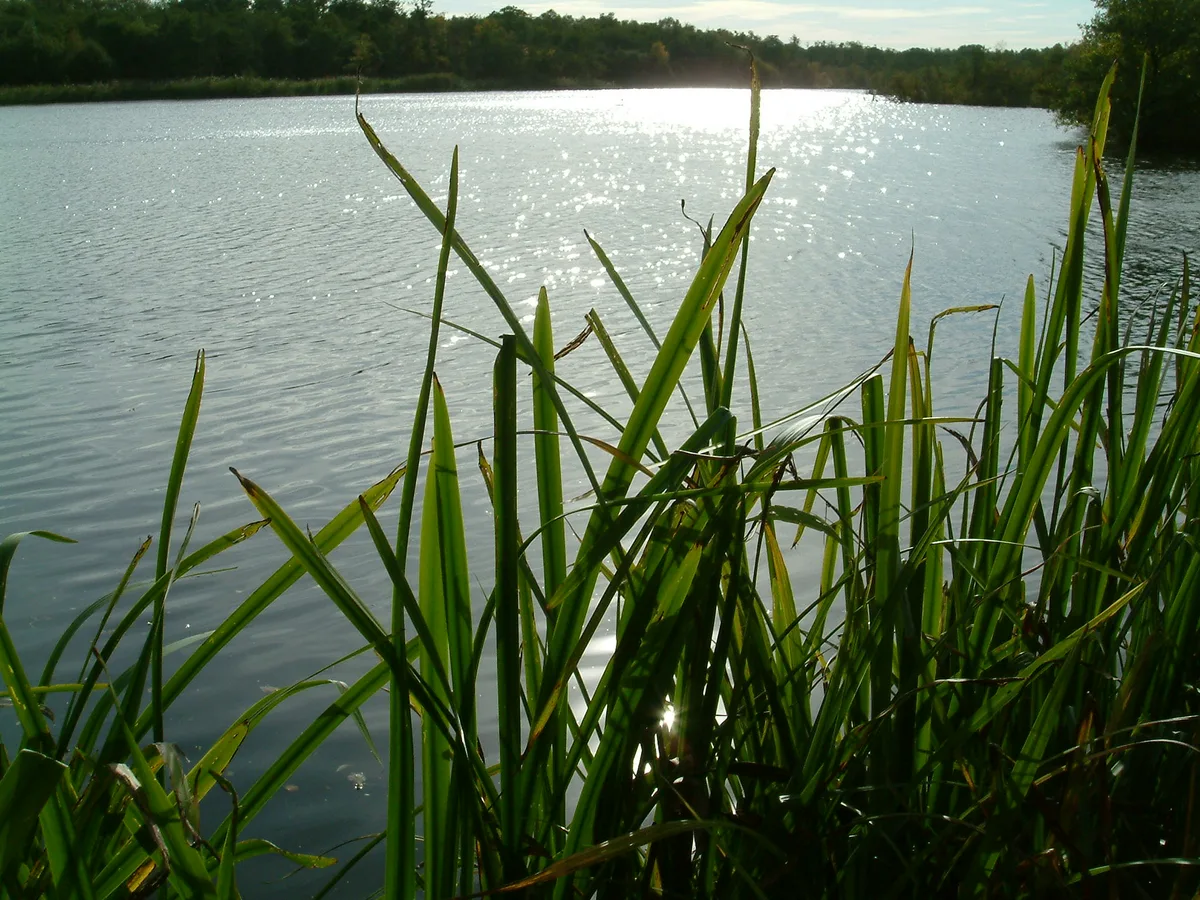
Cockshoot Broad
Natural landmarks · 0.5 km

Horning War Memorial
Memorials & monuments · 0.8 km
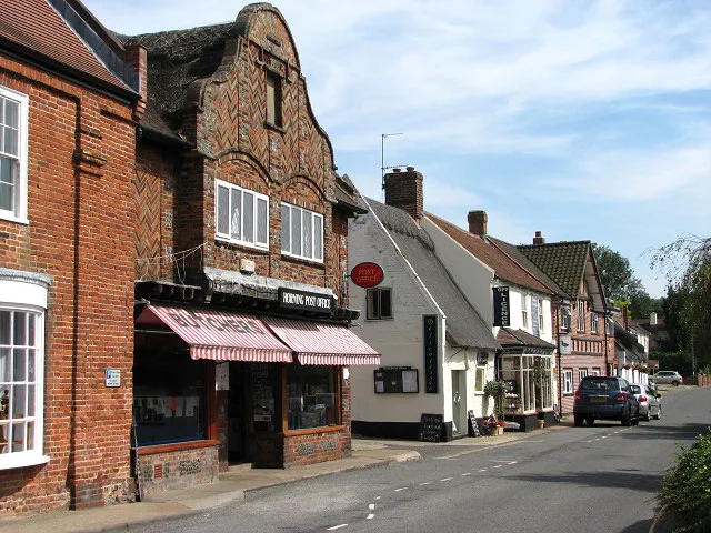
Horning
Towns & cities · 0.8 km
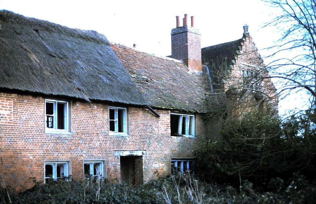
Ranworth Old Hall
Stately homes · 0.9 km
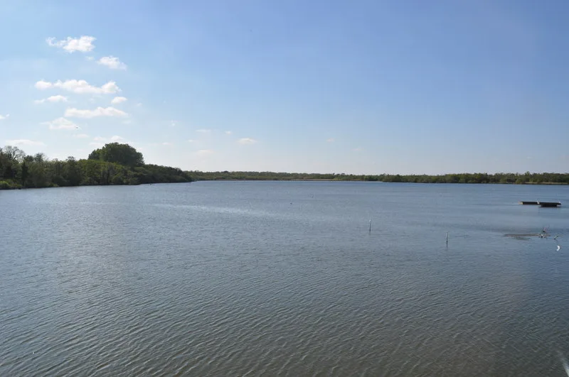
Ranworth Broad
Wildlife reserves · 1.1 km

Horning
Villages · 1.4 km

Wildlife Centre
Natural landmarks · 1.5 km

Horning Village Sign
Public art & sculpture · 1.7 km
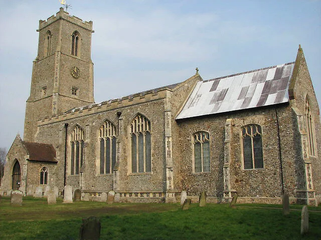
Church of St Helen
Historic churches · 1.7 km

Ranworth Church Village Sign
Public art & sculpture · 1.7 km

Ranworth
Villages · 1.8 km

Decoy Broad Campsite
Campsites · 1.9 km
Nearby
📷 4Natural landmarks · East of England
Cockshoot Broad
Cockshoot Broad — lake in the United Kingdom.
📷 3Memorials & monuments · East of England
Horning War Memorial
Horning War Memorial — Grade II listed building-listed memorial in england-east, United Kingdom.
Flagship📷 5Towns & cities · East of England
Horning
Horning — village and civil parish in Norfolk, England.
📷 3Stately homes · East of England
Ranworth Old Hall
Ranworth Old Hall — manor house in Woodbastwick, Norfolk, England, UK.
📷 5Wildlife reserves · East of England
Ranworth Broad
Ranworth Broad is a wildlife reserve in the United Kingdom.
📷 5Where to eat & stay near Hobb's Mill
Places to stay
📷 5Campsites · East of England
Decoy Broad Campsite
Decoy Broad Campsite — a campsite in england east.
 📷 5
📷 5Campsites · East of England
Camping Corner
Camping Corner — a campsite in england east.
 📷 5
📷 5 📷 5
📷 5 📷 5
📷 5 📷 5
📷 5Campsites · East of England
Street Hill Camping
Street Hill Camping — a campsite in england east midlands.
Places to eat & drink
 📷 7
📷 7Historic pubs · East of England
Recruiting Sergeant Inn
Recruiting Sergeant Inn in England East, United Kingdom.
 📷 5
📷 5 📷 5
📷 5Restaurants · East of England
The Town House
The Town House — a restaurant in england east. Brand: Stonehouse Pizza and Carvery.
 📷 5
📷 5 📷 7
📷 7Historic pubs · East of England
The Castle Public House
The Castle Public House in England East, United Kingdom.
 📷 7
📷 7More windmills in this region
 📷 5
📷 5Windmills · East of England
Baker Street Mill
Baker Street Mill is a windmill in the United Kingdom.
 📷 5
📷 5 📷 5
📷 5 📷 5
📷 5Frequently asked questions
- Where is Hobb's Mill?
- Hobb's Mill is in Norfolk, East of England, United Kingdom (postcode NR12 8PT), in the parish of Horning.
- What is Hobb's Mill?
- Hobb's Mill — Grade II* listed building-listed windmill in england-east, United Kingdom.
- How do I get to Hobb's Mill?
- The nearest railway station is Hoveton and Wroxham, about 5.0 km away. Drivers can use postcode NR12 8PT.
- Is Hobb's Mill a listed building?
- Hobb's Mill is officially recognised as Grade II* listed building listed.
- Is Hobb's Mill a protected site?
- Yes — Hobb's Mill is part of the Bure Broads and Marshes SSSI Site of Special Scientific Interest and the BURE MARSHES National Nature Reserve.
- Is Hobb's Mill free to visit?
- Yes, Hobb's Mill is free to enter.
- How do I get to Hobb's Mill?
- The nearest railway station is Hoveton and Wroxham, about 5.0 km away. Drivers can navigate to postcode NR12 8PT.