
Historic houses · North West England
RAF Hornby Hall
In or near Culgaith.
RAF Hornby Hall in England North East, United Kingdom.

Christine Johnstone — CC BY-SA 2.0 via Wikimedia Commons licence

Plan your visit
- Typical visit
- 1 h–2 h
- Nearest railway station
- Langwathby · 4.1 km
- Family-friendly
- Limited wheelchair access
About
RAF Hornby Hall is a place of interest in England North East, United Kingdom — drawn from open-data sources for visitor reference. See the linked Wikipedia article for the full description.
Photo gallery
Protected designations
- Site of Special Scientific Interest: River Eden and Tributaries SSSI
- Area of Outstanding Natural Beauty: North Pennines
Designations sourced from Natural England open data under OGL v3.
From the Wikipedia article
Royal Air Force Hornby Hall or more simply RAF Hornby Hall is a former Royal Air Force satellite landing ground located near Brougham, 4 miles (6.4 km) east of Penrith, Cumbria and 8.8 miles (14.2 km) north west of Appleby-in-Westmorland, Cumbria, England.
Excerpt from Wikipedia under CC BY-SA 4.0. See the source article linked in Sources below.
Background
History
The airfield was opened on 17 March 1941, and was mostly used by No. 22 Maintenance Unit RAF (MU) at RAF Silloth but changed to No. 12 MU at RAF Kirkbride. The landing ground was also temporarily operated by No. 18 MU at RAF Dumfries sometime between July and September 1940. Closure came in July 1945, when the site was converted into a PoW camp for German prisoners.
Sourced from Wikipedia under CC BY-SA 4.0.
- Coordinates
- 54.6572, -2.6642
- District
- Westmorland and Furness
- Parish
- Brougham
- Postcode
- CA10 2AE
- Parliamentary constituency
- Westmorland and Lonsdale
- Established
- 1941
- Nearest railway station
- Langwathby — 4.1 km
Sources
- wikidata: Q7275391 (CC0)
- wikipedia: RAF Hornby Hall (CC BY-SA 4.0)
Other places nearby

Edenhall
Castles · 1.1 km
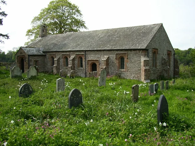
Ninekirks
Historic churches · 1.5 km

Quarrystone Bank
Mountains & hills · 1.8 km
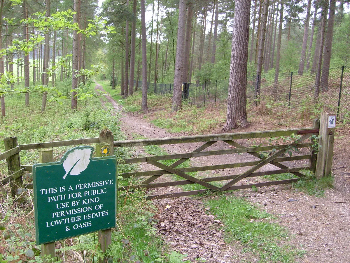
Whinfell Forest
Archaeological sites · 2.0 km

River Eamont
Historic bridges · 2.3 km

The Beach
Beaches · 2.5 km

Aqua Sana Spa
Lidos & outdoor pools · 2.6 km

The Countess Pillar
Memorials & monuments · 2.7 km
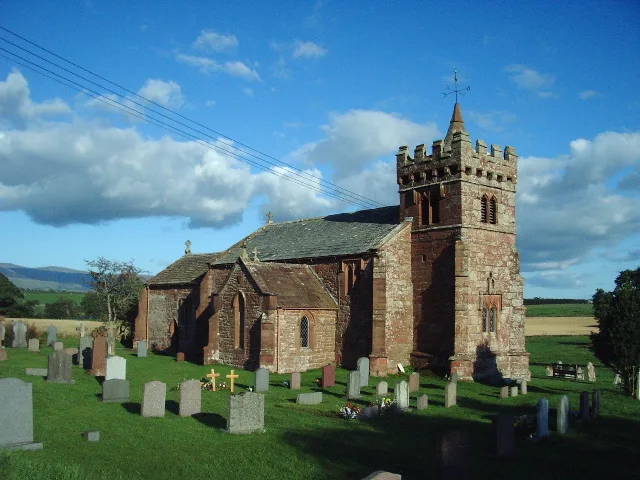
St Cuthbert's Church, Edenhall
Historic churches · 2.7 km

Edenhall
Villages · 3.0 km

Edenhall War Memorial
Memorials & monuments · 3.2 km

Culgaith
Villages · 3.3 km
Nearby
📷 5📷 5Historic churches · North West England
Ninekirks
Ninekirks is a historic church in the United Kingdom.
📷 5Mountains & hills · North West England
Quarrystone Bank
Quarrystone Bank — a hill or mountain in scotland lowlands.
📷 3Archaeological sites · North West England
Whinfell Forest
Whinfell Forest — forest in Brougham, Cumbria, England, UK.
📷 4Historic bridges · North West England
River Eamont
River Eamont in England North East, United Kingdom.
📷 3Beaches · North West England
The Beach
The Beach is a beach in the United Kingdom.
Where to eat & stay near RAF Hornby Hall
Places to stay
 📷 5
📷 5Caravan parks · North West England
Crossfells Campsite
Crossfells Campsite — a caravan park in scotland lowlands.
 📷 5
📷 5Hotels · North West England
Kings Arms Hotel
Kings Arms Hotel — a hotel in scotland lowlands.
 📷 5
📷 5Caravan parks · North West England
Grange Court (C & MC CL)
Grange Court (C & MC CL) — a caravan park in scotland lowlands.
 📷 5
📷 5Campsites · North West England
Lowther Holiday Park
Lowther Holiday Park — a campsite in scotland lowlands.
 📷 4
📷 4Caravan parks · North West England
Lowther Holiday Park
Lowther Holiday Park — a caravan park in scotland lowlands.
 📷 5
📷 5Hostels · North West England
Abbotsbank Supported Housing
Abbotsbank Supported Housing — a hostel in scotland lowlands.
Places to eat & drink
 📷 3
📷 3 📷 7
📷 7Historic pubs · North West England
Two Lions public house and integral stables
Two Lions public house and integral stables in Scotland Lowlands, United Kingdom.
 📷 7
📷 7Cafés · North West England
Narrowbar Cafe
Narrowbar Cafe — a café in scotland lowlands.
 📷 6
📷 6Historic pubs · North West England
Gloucester Arms
Gloucester Arms in Scotland Lowlands, United Kingdom.
 📷 5
📷 5Historic pubs · North West England
Horse And Farrier Inn And Stables
Horse And Farrier Inn And Stables in Scotland Lowlands, United Kingdom.
 📷 5
📷 5Historic pubs · North East England
1, Scattergate
1, Scattergate in England North East, United Kingdom.
More historic houses in this region
 📷 3
📷 3Historic houses · North West England
116 Hospital Street, Nantwich
116 Hospital Street, Nantwich — substantial townhouse in Nantwich, Cheshire, England, UK.
 📷 3
📷 3Historic houses · North West England
140–142 Hospital Street, Nantwich
140–142 Hospital Street, Nantwich — grade II listed building in Nantwich, Cheshire East, Cheshire, England, UK.
 📷 3
📷 3Historic houses · North West England
46 High Street, Nantwich
46 High Street, Nantwich — house in Nantwich, Cheshire, England, UK.
 📷 3
📷 3Historic houses · North West England
64, St Ann's Road
64, St Ann's Road — Grade II* listed house in Middlewich, Cheshire East, England, UK.
Frequently asked questions
- Where is RAF Hornby Hall?
- RAF Hornby Hall is in North-West England, United Kingdom (postcode CA10 2AE), in the parish of Brougham.
- What is RAF Hornby Hall?
- RAF Hornby Hall in England North East, United Kingdom.
- How do I get to RAF Hornby Hall?
- The nearest railway station is Langwathby, about 4.1 km away. The nearest town is Culgaith. Drivers can use postcode CA10 2AE.
- When was RAF Hornby Hall built?
- Built or established in 1941.
- Who owns RAF Hornby Hall?
- RAF Hornby Hall is owned by Royal Air Force.
- Is RAF Hornby Hall a protected site?
- Yes — RAF Hornby Hall is part of the River Eden and Tributaries SSSI Site of Special Scientific Interest and the North Pennines National Landscape (AONB).
- How do I get to RAF Hornby Hall?
- The nearest railway station is Langwathby, about 4.1 km away. Drivers can navigate to postcode CA10 2AE.