
Towns & cities · Scottish Lowlands
Culgaith
Culgaith — village in Cumbria, England, UK.

Wikimedia Commons contributors — see linked file page for photographer and licence licence

Plan your visit
- Typical visit
- 3 h–6 h
- Nearest railway station
- Langwathby · 5.3 km
- Free entry
- Family-friendly
- Dog-friendly
About
Culgaith is a town, city, village or settlement in the United Kingdom. Recent population estimates put it at around 721 people. Wikidata describes it as: "village in Cumbria, England, UK". Coordinates: 54.6610°, -2.6050°.
Photo gallery
Protected designations
- Site of Special Scientific Interest: River Eden and Tributaries SSSI
- Area of Outstanding Natural Beauty: North Pennines
Designations sourced from Natural England open data under OGL v3.
From the Wikipedia article
Culgaith is a village and civil parish in the Westmorland and Furness district of Cumbria, north-west England. The village is on a ridge above the River Eden, between Temple Sowerby and Langwathby. At the 2001 census the parish had a population of 721, increasing to 826 at the 2011 United Kingdom census. Amenities include All Saints’ Church, and its associated primary school, as well as a public house. The village railway station closed in 1970.
Excerpt from Wikipedia under CC BY-SA 4.0. See the source article linked in Sources below.
Background
History
The village probably took its name from Henry de Culgaith, Clerk, who received a grant of lands in Carlisle, the local see, in vico Francorum. In circa 1296, his widow Alice de Culgaith quitclaimed the dower held of Holm Abbey which included her late husband's fee farm for rents. There was originally a chapel of Latin Christendom, attached to a mother church at Kirkland. However, at the time, the Lord of the Manor in Moieties of Land was Sir Michael de Hercla, later Earl of Carlisle. He fought alongside King Edward I in the Scottish wars of independence, and was present at the siege of Caerlaverock Castle in 1300. The Earl fell foul of the King, and was attained and sent to the dungeon at…
Sourced from Wikipedia under CC BY-SA 4.0.
- Coordinates
- 54.6610, -2.6050
- District
- Westmorland and Furness
- Parish
- Culgaith
- Postcode
- CA10 1QQ
- Parliamentary constituency
- Penrith and Solway
- Population
- 721
- Nearest railway station
- Langwathby — 5.3 km
Sources
- wikidata: Q2033606 (CC0)
- wikipedia: Culgaith (CC BY-SA 4.0)
- commons: Old Cumbrian Farmhouse - geograph.org.uk - 319633.jpg (CC BY-SA 4.0)
Other places nearby
Loading nearby places…
Nearby
 📷 3
📷 3Memorials & monuments · Scottish Lowlands
Culgaith War Memorial
Culgaith War Memorial — Grade II listed building-listed memorial in scotland-lowlands, United Kingdom.
 📷 5
📷 5Heritage railway stations · North East England
Culgaith railway station
Culgaith railway station in England North East, United Kingdom.
 📷 5
📷 5Villages · Scottish Lowlands
Culgaith
Culgaith — a village in scotland lowlands.
 📷 3
📷 3Watermills · Scottish Lowlands
Acorn Bank Mill
Acorn Bank Mill is a watermill in the United Kingdom.
 📷 3
📷 3Manor houses · Scottish Lowlands
Acorn Bank
Acorn Bank — a manor in scotland-lowlands, United Kingdom.
 📷 3
📷 3Watermills · Scottish Lowlands
Acorn Bank Garden & Watermill
Acorn Bank Garden & Watermill is a National Trust property situated just north of Temple Sowerby, near Penrith, Cumbria, England. The garden features over 250 medicinal and culinary herbs and is prote
Where to eat & stay near Culgaith
Places to stay
 📷 5
📷 5Hotels · Scottish Lowlands
Kings Arms Hotel
Kings Arms Hotel — a hotel in scotland lowlands.
 📷 5
📷 5Caravan parks · Scottish Lowlands
Low Moor Caravan and Campsite
Low Moor Caravan and Campsite — a caravan park in scotland lowlands.
 📷 5
📷 5Caravan parks · Scottish Lowlands
Crossfell Caravan Park
Crossfell Caravan Park — a caravan park in scotland lowlands.
 📷 5
📷 5Caravan parks · Scottish Lowlands
Grange Court (C & MC CL)
Grange Court (C & MC CL) — a caravan park in scotland lowlands.
 📷 5
📷 5Caravan parks · Scottish Lowlands
Silverband Caravan Park
Silverband Caravan Park — a caravan park in scotland lowlands.
 📷 5
📷 5Caravan parks · North East England
Highgate Holiday Park
Highgate Holiday Park — a caravan park in england north east.
Places to eat & drink
 📷 3
📷 3Historic pubs · North East England
Langwathby
Langwathby in England North East, United Kingdom.
 📷 5
📷 5Historic pubs · Scottish Lowlands
Two Lions public house and integral stables
Two Lions public house and integral stables in Scotland Lowlands, United Kingdom.
 📷 5
📷 5Cafés · Scottish Lowlands
Narrowbar Cafe
Narrowbar Cafe — a café in scotland lowlands.
 📷 5
📷 5Historic pubs · Scottish Lowlands
Gloucester Arms
Gloucester Arms in Scotland Lowlands, United Kingdom.
 📷 5
📷 5Historic pubs · North East England
1, Scattergate
1, Scattergate in England North East, United Kingdom.
 📷 5
📷 5Historic pubs · Scottish Lowlands
Horse And Farrier Inn And Stables
Horse And Farrier Inn And Stables in Scotland Lowlands, United Kingdom.
More towns in this region
 Flagship📷 3
Towns & cities · Scottish Lowlands
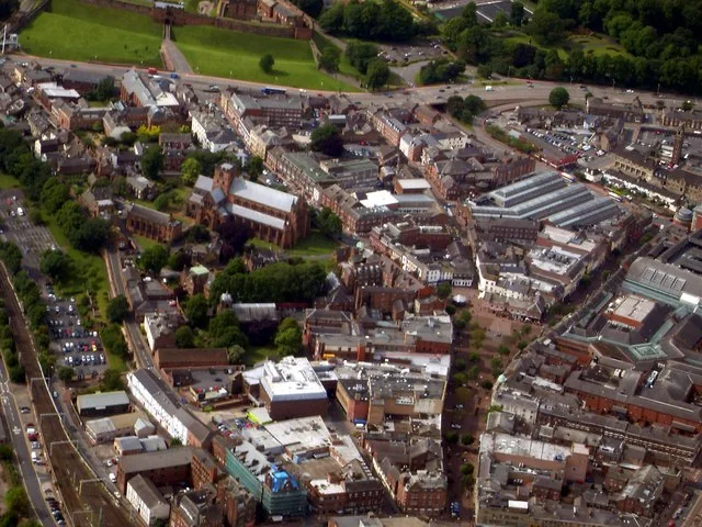
Carlisle
Carlisle — city in Cumberland, Cumbria, England.
 Flagship📷 3
Towns & cities · Scottish Lowlands
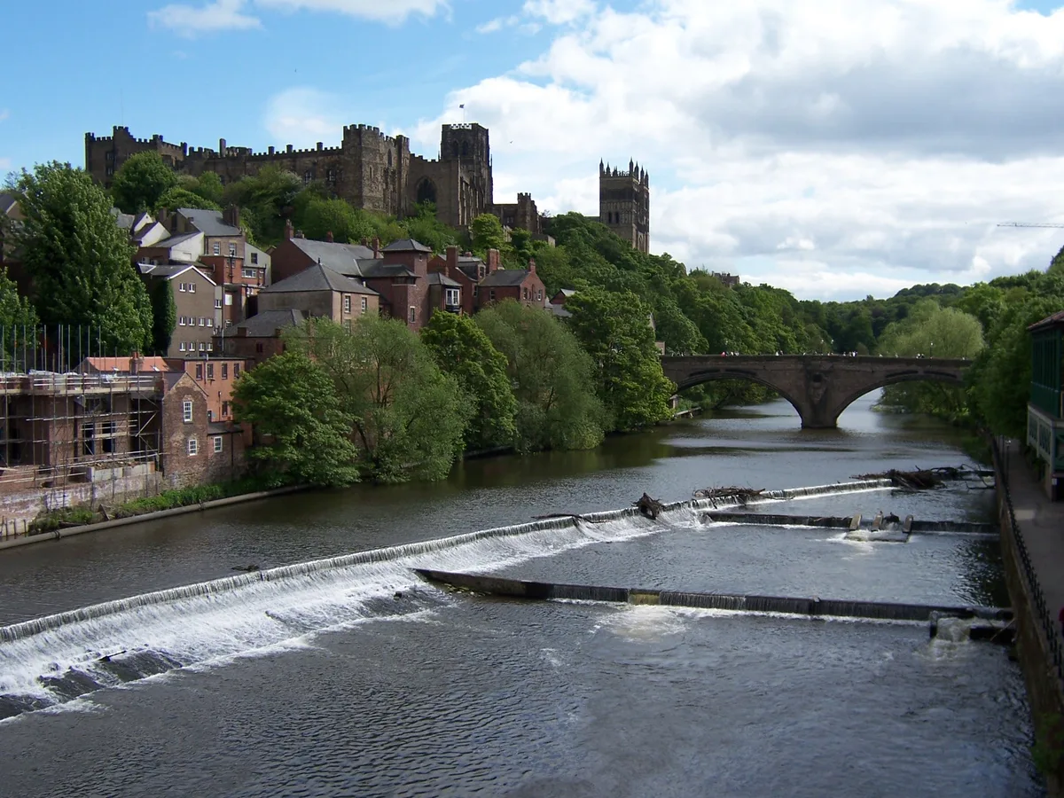
Durham
Durham — city and the county town of County Durham in North East England.
 Flagship📷 5
Towns & cities · Scottish Lowlands
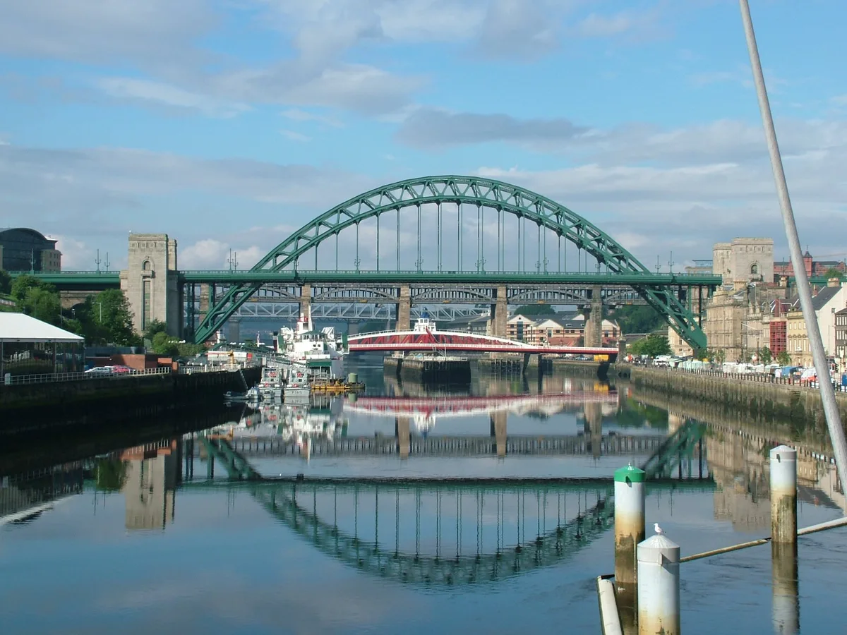
Newcastle upon Tyne
Newcastle upon Tyne — city in Tyne and Wear, England, UK.
 Flagship📷 3
Towns & cities · Scottish Lowlands
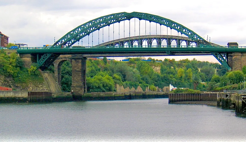
Sunderland
Sunderland — city in Tyne and Wear, North East England.
Frequently asked questions
- Where is Culgaith?
- Culgaith is in the Scottish Lowlands, United Kingdom (postcode CA10 1QQ), in the parish of Culgaith.
- What is Culgaith?
- Culgaith — village in Cumbria, England, UK.
- How do I get to Culgaith?
- The nearest railway station is Langwathby, about 5.3 km away. Drivers can use postcode CA10 1QQ.
- Is Culgaith a protected site?
- Yes — Culgaith is part of the River Eden and Tributaries SSSI Site of Special Scientific Interest and the North Pennines National Landscape (AONB).
- Is Culgaith free to visit?
- Yes, Culgaith is free to enter.
- How do I get to Culgaith?
- The nearest railway station is Langwathby, about 5.3 km away. Drivers can navigate to postcode CA10 1QQ.