
Canals · South Wales
Pontymoile Basin
In or near Caerleon.
Pontymoile Basin (Welsh: Basn Pont-y-moel) is a mooring point and canal junction on the Monmouthshire & Brecon Canal.

Jaggery — CC BY-SA 2.0 via Wikimedia Commons licence

Plan your visit
- Typical visit
- 1 h–2 h
- Nearest railway station
- Pontypool and New Inn · 0.9 km
- Free entry
- Dog-friendly
About
Pontymoile Basin is a tourist attraction in Wales South, United Kingdom — a place of historic, cultural, scenic or recreational interest.
Photo gallery
See it from the streetimagery from 2025
Imagery © Mapillary contributors, CC BY-SA 4.0
Protected designations
- Site of Special Scientific Interest: River Wye SSSI
- Site of Special Scientific Interest: Severn Estuary SSSI
Designations sourced from Natural England open data under OGL v3.
From the Wikipedia article
Pontymoile Basin (Welsh: Basn Pont-y-moel) is a mooring point and canal junction on the Monmouthshire & Brecon Canal.
Excerpt from Wikipedia under CC BY-SA 4.0. See the source article linked in Sources below.
Background
History
Originally a toll point, the canal narrows significantly as it approaches the basin. Junction Cottage is the old toll house, built in 1810–1812 and is Grade II listed. The basin itself is a large expanse of water adjacent to the canal. It is used for turning narrowboats and filling up with water. Pontymoile Basin was the site of the junction with the three-mile Monmouthshire Canal to Pontnewynydd, containing 11 locks. This spur was fed from tramways carrying coal and iron down the valley. The junction was enacted in 1797 and completed in 1812. The spur was problematic due to water supply issues, and it was overtaken by rail when the Monmouthshire Railway and Canal Company drained it and…
Sourced from Wikipedia under CC BY-SA 4.0.
- Coordinates
- 51.6958, -3.0258
- District
- Torfaen
- Parish
- Pontymoile
- Postcode
- NP4 0RF
- Parliamentary constituency
- Torfaen
- Nearest railway station
- Pontypool and New Inn — 0.9 km
Sources
- wikipedia: Pontymoile Basin (CC BY-SA 4.0)
Other places nearby
Bridge 52 at Pontymoile Basin, Monmouthshire and Brecon Canal
Historic bridges · 0.0 km
Aqueduct over Afon Lwyd, Monmouthshire and Brecon Canal
Aqueducts · 0.2 km

Canal Bridge at Coed-y-Gric
Historic bridges · 0.3 km

Best Western
Hotels · 0.5 km

West Monmouth School
Natural landmarks · 0.8 km

Pontypool Park
Parks · 0.9 km

Shell Grotto, Pontypool
Follies · 0.9 km

Shell Grotto
Archaeological sites · 0.9 km

Hanbury Arms Haunted Hotel & Museum
Museums · 1.0 km

Mount Pleasant United Reformed Church
Historic churches · 1.0 km

Gorsedd Stones
Heritage railway stations · 1.1 km

Pontypool War Memorial Gates
Memorials & monuments · 1.1 km
Nearby
📷 5Historic bridges · South Wales
Bridge 52 at Pontymoile Basin, Monmouthshire and Brecon Canal
Bridge 52 at Pontymoile Basin, Monmouthshire and Brecon Canal — Grade II listed building-listed bridge in wales-south, United Kingdom.
📷 3Aqueducts · South Wales
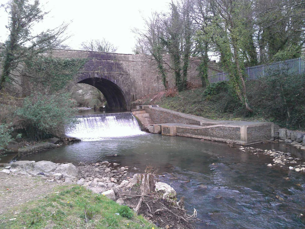
Aqueduct over Afon Lwyd, Monmouthshire and Brecon Canal
Aqueduct over Afon Lwyd, Monmouthshire and Brecon Canal — Grade II listed building in Torfaen County Borough. It is about 450m south-east of Pontymoile roundabout approached by the canal towpath from Pontymoile basin. Spans the border between New Inn and Pontymoile communities.
📷 5Historic bridges · South Wales
Canal Bridge at Coed-y-Gric
Canal Bridge at Coed-y-Gric — Grade II listed building-listed bridge in wales-south, United Kingdom.
📷 5📷 5Natural landmarks · South Wales
West Monmouth School
West Monmouth School — a school heritage in wales-south, United Kingdom.
📷 4Parks · South Wales
Pontypool Park
Pontypool Park — former grounds of Pontypool House.
Where to eat & stay near Pontymoile Basin
Places to stay
📷 5 📷 5
📷 5 📷 5
📷 5Campsites · South Wales
Pont Kemys Caravan & Camping Park
Pont Kemys Caravan & Camping Park — a campsite in wales south.
 📷 7
📷 7 📷 5
📷 5 📷 7
📷 7Places to eat & drink

Restaurants · South Wales
Little Crown
Little Crown — a restaurant in wales south.
 📷 7
📷 7 📷 7
📷 7 📷 3
📷 3 📷 5
📷 5Historic pubs · South Wales
The White Hart, Llangybi, Monmouthshire
The White Hart, Llangybi, Monmouthshire in Wales South, United Kingdom.
 📷 7
📷 7Restaurants · South Wales
The Priory Hotel & Restaurant
The Priory Hotel & Restaurant — a restaurant in wales south. Cuisine: international. 3-star.
More places in this region
 📷 5
📷 5Canals · South Wales
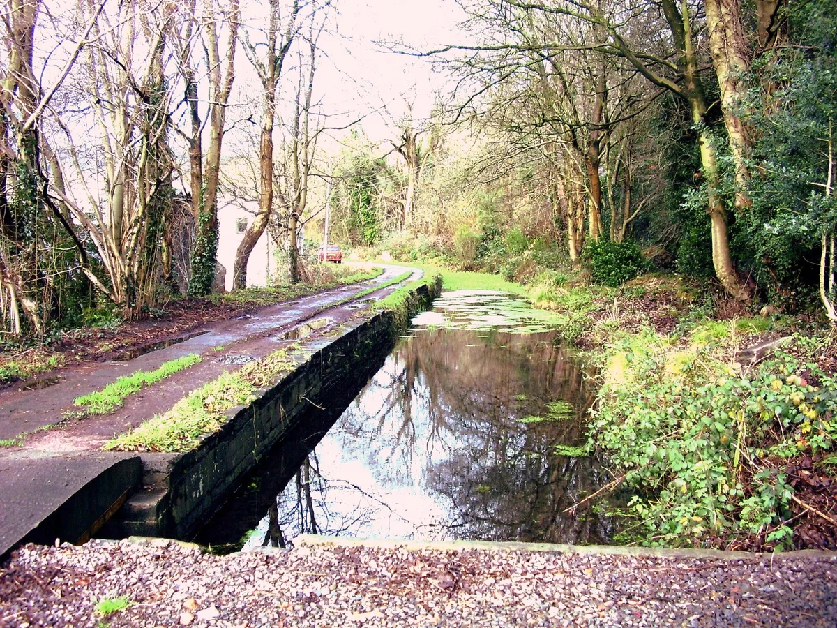
Glamorganshire Canal
Glamorganshire Canal — Site of Special Scientific Interest in Wales.
 📷 3
📷 3 📷 3
📷 3 📷 3
📷 3Frequently asked questions
- Where is Pontymoile Basin?
- Pontymoile Basin is in South Wales, United Kingdom (postcode NP4 0RF), in the parish of Pontymoile.
- What is Pontymoile Basin?
- Pontymoile Basin (Welsh: Basn Pont-y-moel) is a mooring point and canal junction on the Monmouthshire & Brecon Canal.
- How do I get to Pontymoile Basin?
- The nearest railway station is Pontypool and New Inn, about 0.9 km away. Drivers can use postcode NP4 0RF.
- Is Pontymoile Basin a protected site?
- Yes — Pontymoile Basin is part of the River Wye SSSI Site of Special Scientific Interest and the Severn Estuary SSSI Site of Special Scientific Interest.
- Is Pontymoile Basin free to visit?
- Yes, Pontymoile Basin is free to enter.
- How do I get to Pontymoile Basin?
- The nearest railway station is Pontypool and New Inn, about 0.9 km away. Drivers can navigate to postcode NP4 0RF.