
Natural landmarks · South Wales
West Monmouth School
In or near Argoed.
West Monmouth School — a school heritage in wales-south, United Kingdom.

Jaggery — CC BY-SA 2.0 via Wikimedia Commons licence

Plan your visit
- Typical visit
- 1 h–2 h
- Nearest railway station
- Pontypool and New Inn · 1.7 km
- Free entry
- Dog-friendly
About
West Monmouth School is a school heritage located in wales-south, United Kingdom. Catalogued from Wikidata's UK heritage register; see the Wikipedia article for further historical and visitor details.
Photo gallery
See it from the streetimagery from 2020
Imagery © Mapillary contributors, CC BY-SA 4.0
Heritage listing
http://cadwpublic-api.azurewebsites.net/reports/listedbuilding/FullReport?lang=en&id=18841
From Cadw under OGL v3.
Official information
West Monmouth School is a comprehensive school located in Pontypool, Torfaen, originally established in 1898 as a boys' boarding school. The school focuses on providing engaging and challenging education, supported by a dedicated team of teachers and staff.
Protected designations
- Site of Special Scientific Interest: River Wye SSSI
- Site of Special Scientific Interest: Severn Estuary SSSI
Designations sourced from Natural England open data under OGL v3.
Place summary
West Monmouth School is located in South Wales. It serves as an educational institution and is notable for its role in the local community. Further details on its establishment or architectural significance are not provided.
AI-generated from the structured facts on this page (operator, designation, listing, era). Not a substitute for visiting.
Background
History
The school owes its existence to the charitable donations of haberdasher William Jones, who died in 1615. He bequeathed money to the Worshipful Company of Haberdashers for the foundation of a grammar school in Monmouth. An accumulation of funds by the end of the nineteenth century encouraged Monmouth School to build a sister school to serve western Monmouthshire.
Sourced from Wikipedia under CC BY-SA 4.0.
- Coordinates
- 51.6965, -3.0376
- District
- Torfaen
- Parish
- Pontymoile
- Postcode
- NP4 5YG
- Parliamentary constituency
- Torfaen
- Phone
- 01495 767430
- Established
- 1898
- Nearest railway station
- Pontypool and New Inn — 1.7 km
- Official site
- www.westmonmouthschool.org.uk
Sources
- wikidata: Q7986014 (CC0)
- wikipedia: West Monmouth School (CC BY-SA 4.0)
Other places nearby

Hanbury Arms Haunted Hotel & Museum
Museums · 0.4 km

Mount Pleasant United Reformed Church
Historic churches · 0.4 km

Pontypool War Memorial Gates
Memorials & monuments · 0.6 km

Pontypool Park
Parks · 0.6 km

Crane Street Cinema
Theatres · 0.7 km

Pontypool Market
Mines & mining heritage · 0.7 km
Pontypool Indoor Market
Other places · 0.7 km

Torfaen Museum
Museums · 0.8 km

Pontymoile Basin
Canals · 0.8 km
Bridge 52 at Pontymoile Basin, Monmouthshire and Brecon Canal
Historic bridges · 0.8 km

Canal Bridge at Coed-y-Gric
Historic bridges · 0.9 km

Theatre Royal, Pontypool
Theatres · 0.9 km
Nearby
📷 3Museums · South Wales
Hanbury Arms Haunted Hotel & Museum
Hanbury Arms Haunted Hotel & Museum — a museum in wales-south, United Kingdom.
📷 5Historic churches · South Wales
Mount Pleasant United Reformed Church
Mount Pleasant United Reformed Church — Grade II listed building-listed church in wales-south, United Kingdom.
📷 3Memorials & monuments · South Wales
Pontypool War Memorial Gates
Pontypool War Memorial Gates — a memorial in wales-south, United Kingdom.
📷 4Parks · South Wales
Pontypool Park
Pontypool Park — former grounds of Pontypool House.
📷 3Theatres · South Wales
Crane Street Cinema
Crane Street Cinema in Wales South, United Kingdom.
📷 3Mines & mining heritage · South Wales
Pontypool Market
Pontypool Market — Grade II listed building in Torfaen County Borough. In Pontypool town centre in Market Street, with secondary entrances in Commercial Street and Crane Street.
Where to eat & stay near West Monmouth School
Places to stay
 📷 5
📷 5 📷 5
📷 5 📷 5
📷 5 📷 7
📷 7 📷 5
📷 5Campsites · South Wales
CRAI Scout Activity Centre
CRAI Scout Activity Centre — a campsite in wales south.
📷 5Places to eat & drink

Restaurants · South Wales
Little Crown
Little Crown — a restaurant in wales south.
 📷 7
📷 7 📷 7
📷 7 📷 3
📷 3 📷 5
📷 5Historic pubs · South Wales
The White Hart, Llangybi, Monmouthshire
The White Hart, Llangybi, Monmouthshire in Wales South, United Kingdom.
 📷 7
📷 7More natural landmarks in this region
 📷 3
📷 3Natural landmarks · South Wales
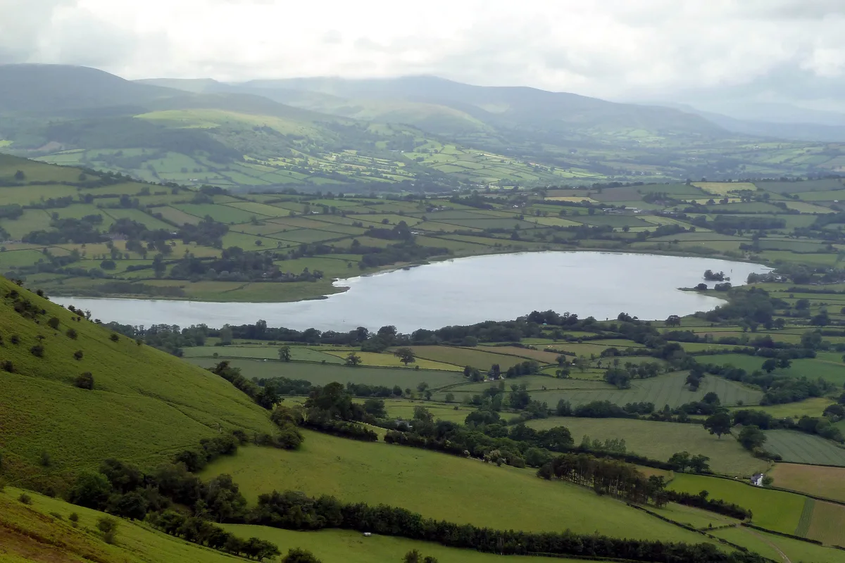
Llangorse Lake
Llangorse Lake — lake near Brecon, Powys, Wales, UK.
 📷 3
📷 3.jpg?width=1200) 📷 3
📷 3Natural landmarks · South Wales
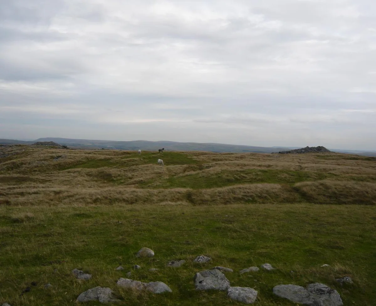
Copper Flame
Copper Flame — Public artwork (installation) by Robin Campbell (designer), Martin Williams (sculptor), Andrew Rowe, Theo Grunewald (metal workers).
 📷 3
📷 3Natural landmarks · South Wales
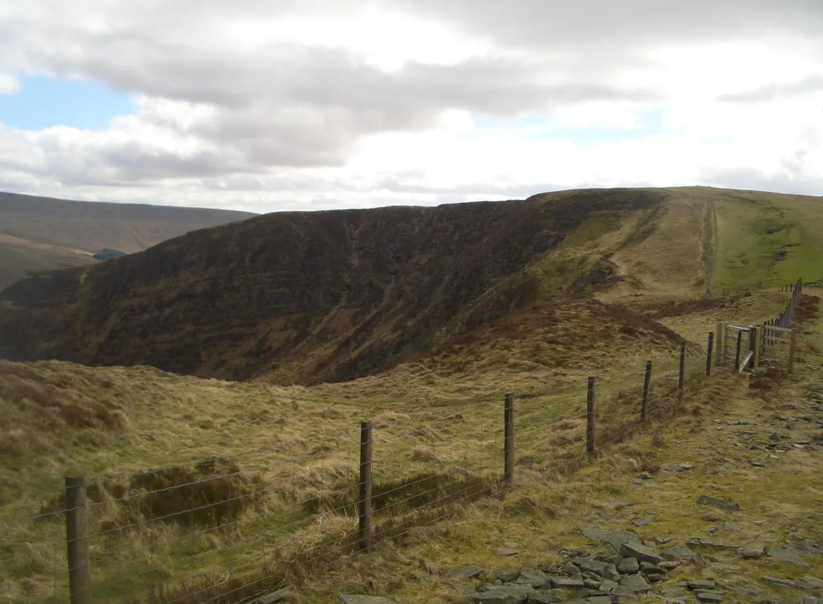
Craig Cerrig-gleisiad
Craig Cerrig-gleisiad — mountain (629m) in Powys.
Frequently asked questions
- Where is West Monmouth School?
- West Monmouth School is in South Wales, United Kingdom (postcode NP4 5YG), in the parish of Pontymoile.
- What is West Monmouth School?
- West Monmouth School — a school heritage in wales-south, United Kingdom.
- How do I get to West Monmouth School?
- The nearest railway station is Pontypool and New Inn, about 1.7 km away. Drivers can use postcode NP4 5YG.
- When was West Monmouth School built?
- Built or established in 1898.
- Is West Monmouth School a listed building?
- West Monmouth School is officially recognised as II listed.
- Is West Monmouth School a protected site?
- Yes — West Monmouth School is part of the River Wye SSSI Site of Special Scientific Interest and the Severn Estuary SSSI Site of Special Scientific Interest.
- Is West Monmouth School free to visit?
- Yes, West Monmouth School is free to enter.
- How do I get to West Monmouth School?
- The nearest railway station is Pontypool and New Inn, about 1.7 km away. Drivers can navigate to postcode NP4 5YG.