
Canals · South Wales
Aberdare Canal
In or near Treorchy.
Aberdare Canal is a canal in the United Kingdom.

Wikimedia Commons contributors — see linked file page for photographer and licence licence

Plan your visit
- Typical visit
- 1 h–2 h
- Nearest railway station
- Aberdare · 0.6 km
- Free entry
- Dog-friendly
Getting there & planning your visit
To visit Aberdare Canal, the nearest railway station is Aberdare, located 0.6 km away. The postcode for navigation is CF44 0PA, and entry to the canal is free.
About
Aberdare Canal is a canal in the United Kingdom. Heritage designation: National Monuments of Wales. Coordinates: 51.7115°, -3.4312°.
Photo gallery
From the Wikipedia article
The Aberdare Canal (Welsh: Camlas Aberdâr) was a canal in Glamorgan, Wales which ran from Aberdare to a junction with the Glamorganshire Canal at Abercynon. It opened in 1812 and served the iron and coal industries for almost 65 years. The arrival of railways in the area did not immediately affect its traffic, but the failure of the iron industry in 1875 and increasing subsidence due to coal mining led to it becoming uneconomic. The Marquess of Bute failed to halt its decline when he took it over in 1885, and in 1900 it was closed on safety grounds. The company continued to operate a tramway until 1944. Most of the route was buried by the construction of the A4059 road in 1923, although a short section at the head of the canal remains in water and is now a nature reserve. The company was wound up in 1955.
Excerpt from Wikipedia under CC BY-SA 4.0. See the source article linked in Sources below.
Background
History
| repeal_date = | repealing_legislation = | related_legislation = | status = Current | original_text = https://books.google.co.uk/books?id=XwbC08mcZ-4C&pg=PA362 | collapsed = yes }} By the 1780s, industry in the area around Aberdare was developing. John Maybery and Thomas Wilkins owned an ironworks at Hirwaun, which was leased by Anthony Bacon. He died in 1786, and the lease was taken over by Samuel Glover from Birmingham, who built a tramway. The nearby Neath Canal was authorised in 1791, and from its terminus at Glynneath, a tramway could be constructed to reach Hirwaun. Glover joined several others who were promoting the development of the Taff Valley, and plans for a branch canal from…
Description
With the increasing coal production, railways were attracted to the area. The Aberdare Railway was the first in 1846, branching off from the Taff Vale Railway's line from Cardiff to Merthyr Tydfil at Abercynon, and running up the valley to Aberdare. Many of the collieries were linked to the railway by branch lines and sidings, but the canal company withheld consent to build bridges over the canal, and it was not until 1851 that a court ruling allowed the Wyrfa Coal Company to build the first, after which others followed. A second railway, the broad gauge Vale of Neath Railway, reached Aberdare in the same year. Despite the competition, the canal continued to carry a good volume of coal,…
Sourced from Wikipedia under CC BY-SA 4.0.
- Coordinates
- 51.7115, -3.4312
- District
- Rhondda Cynon Taf
- Parish
- Cwmbach
- Postcode
- CF44 0PA
- Parliamentary constituency
- Merthyr Tydfil and Aberdare
- Established
- 1900
- Nearest railway station
- Aberdare — 0.6 km
Sources
- wikidata: Q4666847 (CC0)
- wikipedia: Aberdare Canal (CC BY-SA 4.0)
- commons: TrecynonIronBridge.jpg (CC BY-SA 4.0)
Other places nearby

Ynyslwyd Chapel
Chapels · 0.6 km

Cosy Kinema
Theatres · 0.9 km

Aberdare Cenotaph
Memorials & monuments · 0.9 km

St Elvan's Church
Historic churches · 1.0 km

Grand Theatre
Open-air theatres · 1.0 km

Griffith Rhys Jones
Public art & sculpture · 1.0 km

Bethania Presbyterian Church
Historic churches · 1.0 km
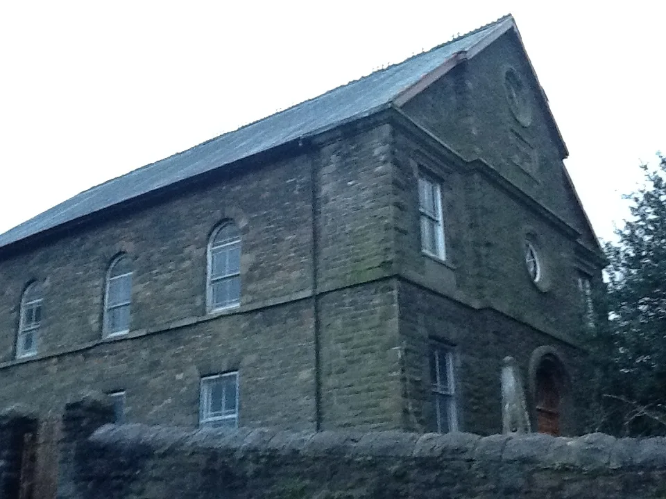
Calfaria Welsh Baptist Chapel
Historic churches · 1.0 km

Empire & Playhouse
Theatres · 1.1 km

Hippodrome
Open-air theatres · 1.1 km

Trinity Calvinistic Methodist Chapel
Historic churches · 1.1 km

Bethel, Abernant
Historic churches · 1.1 km
Nearby
📷 3Chapels · South Wales
Ynyslwyd Chapel
Ynyslwyd Chapel — chapel in Aberdare, Rhondda Cynon Taf, Wales.
📷 3📷 3Memorials & monuments · South Wales
Aberdare Cenotaph
Aberdare Cenotaph — War memorial, dating to 1922.
📷 5Historic churches · South Wales
St Elvan's Church
St Elvan's Church — Grade II* listed building-listed church in wales-south, United Kingdom.
📷 5📷 3Public art & sculpture · South Wales
Griffith Rhys Jones
Griffith Rhys Jones — a public art in South Wales, United Kingdom.
Where to eat & stay near Aberdare Canal
Places to stay
 📷 5
📷 5Hostels · South Wales
Dare Valley Country Park Accommodation
Dare Valley Country Park Accommodation — a hostel in wales south.
 📷 5
📷 5Caravan parks · South Wales
Grawen Caravan & Camping Park
Grawen Caravan & Camping Park — a caravan park in wales south.
 📷 5
📷 5Hotels · South Wales
The Hendrewen Hotel
The Hendrewen Hotel — a hotel in wales south.
 📷 5
📷 5Campsites · South Wales
Parc Cwm Darran Camp Site
Parc Cwm Darran Camp Site — a campsite in wales south.
 📷 5
📷 5 📷 7
📷 7Hotels · South Wales
Nant Ddu Lodge Hotel
Nant Ddu Lodge Hotel — a hotel in wales south.
Places to eat & drink
 📷 5
📷 5Restaurants · South Wales
Sultan of Wales
Sultan of Wales — a restaurant in wales south.
 📷 5
📷 5Historic pubs · South Wales
Penllwyn, Former Manor House Now Penllwyn Arms Public House
Penllwyn, Former Manor House Now Penllwyn Arms Public House in Wales South, United Kingdom.
 📷 3
📷 3Restaurants · South Wales
Upper Boat Inn
Upper Boat Inn — a restaurant in wales south. Cuisine: pizza. Brand: Stonehouse Pizza & Carvery.
 📷 5
📷 5 📷 5
📷 5Restaurants · South Wales
Toby Carvery
Toby Carvery — a restaurant in wales south. Cuisine: british. Brand: Toby Carvery.
 📷 5
📷 5More places in this region
 📷 5
📷 5Canals · South Wales
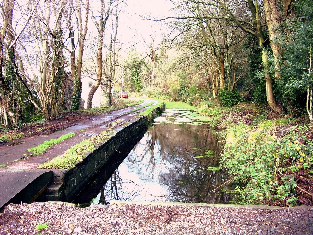
Glamorganshire Canal
Glamorganshire Canal — Site of Special Scientific Interest in Wales.
 📷 3
📷 3 📷 3
📷 3.jpg?width=1200) 📷 3
📷 3Canals · South Wales
Monmouthshire and Brecon Canal
Monmouthshire and Brecon Canal — network of canals in South Wales.
Frequently asked questions
- Where is Aberdare Canal?
- Aberdare Canal is in South Wales, United Kingdom (postcode CF44 0PA), in the parish of Cwmbach.
- What is Aberdare Canal?
- Aberdare Canal is a canal in the United Kingdom.
- How do I get to Aberdare Canal?
- The nearest railway station is Aberdare, about 0.6 km away. The nearest town is Treorchy. Drivers can use postcode CF44 0PA.
- When was Aberdare Canal built?
- Built or established in 1900.
- Is Aberdare Canal a listed building?
- Aberdare Canal is officially recognised as National Monuments of Wales listed.
- Is Aberdare Canal free to visit?
- Yes, Aberdare Canal is free to enter.
- How do I get to Aberdare Canal?
- The nearest railway station is Aberdare, about 0.6 km away. Drivers can navigate to postcode CF44 0PA.